Blog · Traffic cameras
UK Traffic Cameras Live: JamCams, Motorways & More
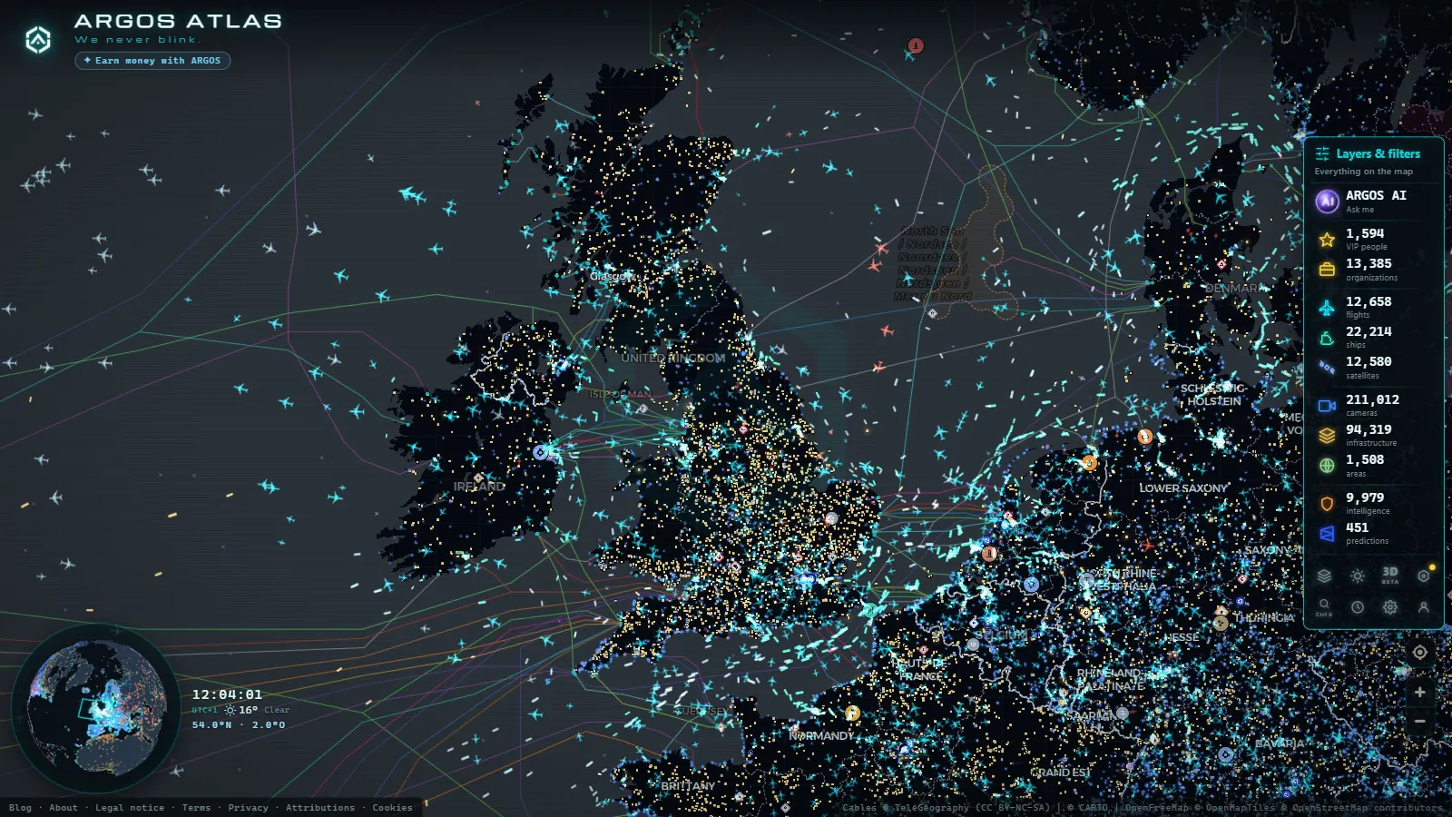
UK traffic cameras are public, free and viewable from any browser with no sign-up: across London, England's motorways, Scotland and Wales, the ARGOS ATLAS map gathers around ~3,700 of them live. That figure does not come from a single network but from several, each with its own territory and its own style.
Below we go through them one by one, explain the technical quirk of London's famous JamCams, and clear up a common confusion: why a traffic camera is not the same as the surveillance CCTV the country is known for.
The British networks, in one table
Before getting into the detail, here is the full picture of the public networks feeding the map:
| Network | Territory | What it publishes |
|---|---|---|
| JamCams (TfL) | London | ~800 cameras with short clips that refresh periodically |
| National Highways | England's motorways (M1, M6, M25 and major A roads) | Cameras at junctions, city approaches and congestion-prone stretches |
| Traffic Scotland | Scotland | Cameras with the Highlands and their weather as the priority |
| Traffic Wales | Wales | Main corridors and the routes connecting with England |
Adding these networks and other public sources together, London alone reaches around ~1,600 cameras on the map, and the UK as a whole sits near ~3,700. The takeaway is twofold: the capital is among the most watchable cities in Europe, and beyond it the coverage tracks precisely the roads that actually matter.
JamCams: TfL's cameras in London
Transport for London (TfL), the capital's transport authority, operates the country's best-known urban camera network: the JamCams. There are around ~800 official cameras spread across junctions, bridges and main corridors, from the city center out to the orbital roads.
Their technical quirk makes them unique: instead of streaming continuous video, each JamCam publishes a short clip that refreshes periodically. It is a format designed so anyone can check the state of a junction without a permanent broadcast. In practice it works very well: a few seconds of motion tell you far more than a still photo, because you can see whether traffic is flowing or at a standstill.
For the user, the practical advice is simple: if a clip seems to repeat itself or the light does not match the time of day, wait for the next refresh before drawing conclusions. TfL itself takes cameras offline temporarily for maintenance, so an occasional gap in the network is normal and does not mean anything is happening on that street.
England's motorways: National Highways
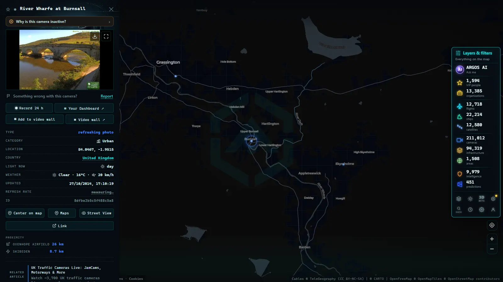
Outside London, England's strategic road network (motorways like the M1, M6 or M25, plus the major A roads) is managed by National Highways. This body operates its own cameras at strategic points: motorway junctions, city approaches and stretches with a history of congestion.
These cameras play the classic role of a motorway network: letting control centers spot incidents and letting drivers check a stretch before committing to it. For a long drive across England, the useful habit is to review the cameras at the junctions you are about to cross (the Birmingham area or London's orbital, for instance) before setting off. If you want to understand the technology behind these networks, there is a guide on how traffic cameras work.
From the ARGOS ATLAS channel.
Scotland and Wales
British devolution shows up in traffic too. Scotland publishes its cameras through Traffic Scotland, with particular attention to the roads crossing the Highlands, where the weather can change a journey in minutes: a camera showing snow on a Scottish pass is worth more than any forecast.
Wales does the same with Traffic Wales, covering its main corridors, including the routes connecting with England. Both networks follow the same philosophy as the rest: public, free cameras with framing designed to show the state of the road. For the traveler, the practical consequence is that the UK does not have a single traffic website, but several depending on the territory you are driving through.
In both countries it is also worth watching the cameras at the approaches to the big bridges and estuaries, because they concentrate a large share of the queues. And in winter, the cameras on the routes through northern Scotland become the most valuable on the whole map: snow closures are the most common incident there, and a camera is the fastest way to confirm one.
How to see them all on a single live map
As with the 511 systems in the United States, fragmentation is the weak point: TfL, National Highways, Traffic Scotland and Traffic Wales each publish separately. If your route runs from London to Edinburgh, you would have to hop between several websites with different interfaces.
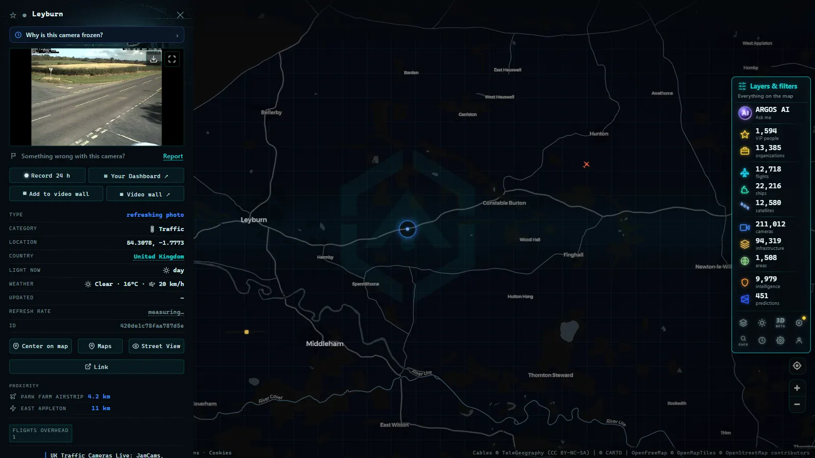
The alternative is an aggregator. The ARGOS ATLAS map gathers more than 200,000 live public cameras from around the world, including the UK's ~3,700, with all the networks together on the same map. You can follow your route from south to north camera by camera, check how fresh each image is and combine the view with other live layers. Before trusting any camera, it also helps to know how to tell whether the source is official, something a good aggregator flags for you by default. And if you want to master this way of checking the roads, there is a general guide on watching traffic live. The routine takes less time than reading a forecast: zoom to your route, tap the cameras at the junctions that decide it, and check each timestamp before you trust the frame. On a clear morning that is thirty seconds; on a snowy one, it can save you an hour.
The same map also serves the most domestic use of all: keeping an eye on the junction or merge that decides your commute every morning. That habit, tricks included, is what our guide to local traffic updates is about.
Privacy: CCTV is not the same as a traffic camera
The UK carries a worldwide reputation for CCTV density, and that creates a confusion worth clearing up. Surveillance CCTV (in shops, stations or public spaces) is a closed circuit aimed at security, with its own regulation and no public feed. Traffic cameras are the opposite: an open feed, wide shots of the roadway and a purely informational purpose.
A JamCam or a National Highways camera does not allow faces to be recognized or number plates to be read in its public feed. Its value lies in the aggregate (how many cars, how fast, what state the asphalt is in) not in the individual. That is why these networks can be public and legal in a country with strict data protection rules. If the topic interests you, we cover it in depth in traffic cameras: privacy and legality.
In short: between London's JamCams, National Highways' motorways and the networks in Scotland and Wales, the UK offers thousands of public windows onto its roads. You just need to know where they are, and a live map puts them all in one place.
"Highways Agency cameras" and "traffic flow cameras": same network, different names
If you search for Highways Agency cameras, you're already looking for National Highways' network: Highways Agency was the name of the organisation that ran England's motorways and major A-roads until it became National Highways in 2015. The cameras didn't change, only the name on the door, so any reference today to "Highways Agency CCTV" points to the same gantries and loop detectors described above, not a separate system.
"Traffic flow cameras" is a narrower, more technical term. Most cameras on English motorways aren't there to give a clear view of a driver's face or a number plate, they're there to measure flow: how many vehicles pass a point, at what speed, and whether that speed is dropping because of congestion ahead. That data feeds the overhead matrix signs and the variable speed limits on smart motorways before it ever reaches a public viewer. The still images published for the public are a by-product of that sensor network, not its purpose, which is why the picture next to a motorway camera sometimes looks more delayed or lower-resolution than a CCTV camera built purely to watch a junction.
"Highway cameras" is the broadest of the three terms, and it covers both of the above: any camera mounted on a motorway, trunk road, or major A-road, run by National Highways in England or by its counterparts in Scotland and Wales (covered above). It does not include a city's own urban traffic cameras, which usually sit on the council's local network rather than the national one, even when they look identical on a map.
| Term you searched | What it actually means | Who runs it |
|---|---|---|
| Highways Agency cameras | Old name for National Highways' network, cameras unchanged | National Highways (England) |
| Traffic flow cameras | Sensors that measure speed and congestion; public images are a by-product | National Highways, Transport Scotland, Traffic Wales |
| Highway cameras | Any motorway or trunk-road camera, grouped by national network | Varies by country within the UK |
For a comparable live feed running continuously rather than one road at a time, London's traffic cameras use a similar JamCams model worth comparing against the motorway network; for how other countries structure this same kind of system, see traffic cameras across Europe, country by country.
Frequently asked questions
What are London's JamCams?
They are the public traffic cameras of Transport for London (TfL), around ~800 of them spread across the city's streets and main corridors. They have a quirk: instead of continuous video, they publish short clips that refresh periodically, enough to see the real state of traffic.
How many traffic cameras are there in the UK?
The ARGOS ATLAS map gathers around ~3,700 UK traffic cameras, combining TfL's JamCams, National Highways cameras on England's motorways, and the Traffic Scotland and Traffic Wales networks. London alone accounts for around ~1,600 when sources are combined.
Do British traffic cameras stream continuous live video?
It depends on the network. JamCams publish short clips that update every so often, while other networks offer still images refreshed periodically. In practice, both work well for checking the real state of a road at any given moment.
Do UK traffic cameras identify people?
No. Although the UK is famous for its CCTV density, public traffic cameras are a different thing: wide shots of the roadway designed to show traffic flow, with no ability to recognize faces or read number plates in their public feed.
Where can I watch UK traffic cameras live for free?
On each network's official portal, or all together on an aggregator map. The ARGOS ATLAS map gathers around ~3,700 UK traffic cameras on one free live view with no sign-up, putting the JamCams, England's motorways, Scotland and Wales side by side.
- FL511 Traffic Cameras: 5,700 Live Feeds, One Map
- NSW Traffic Cameras: Watch Sydney Live on One Map
- California Traffic Cameras: 6,900 Live, Caltrans and More
- Queensland (QLD) Traffic Cameras: Brisbane Live Map
- Perth Traffic Cameras: Watch WA Freeways Live on One Map
- Texas Traffic Cameras Live: TxDOT on One Free Map