Blog · Traffic cameras
California Traffic Cameras: 6,900 Live, Caltrans and More
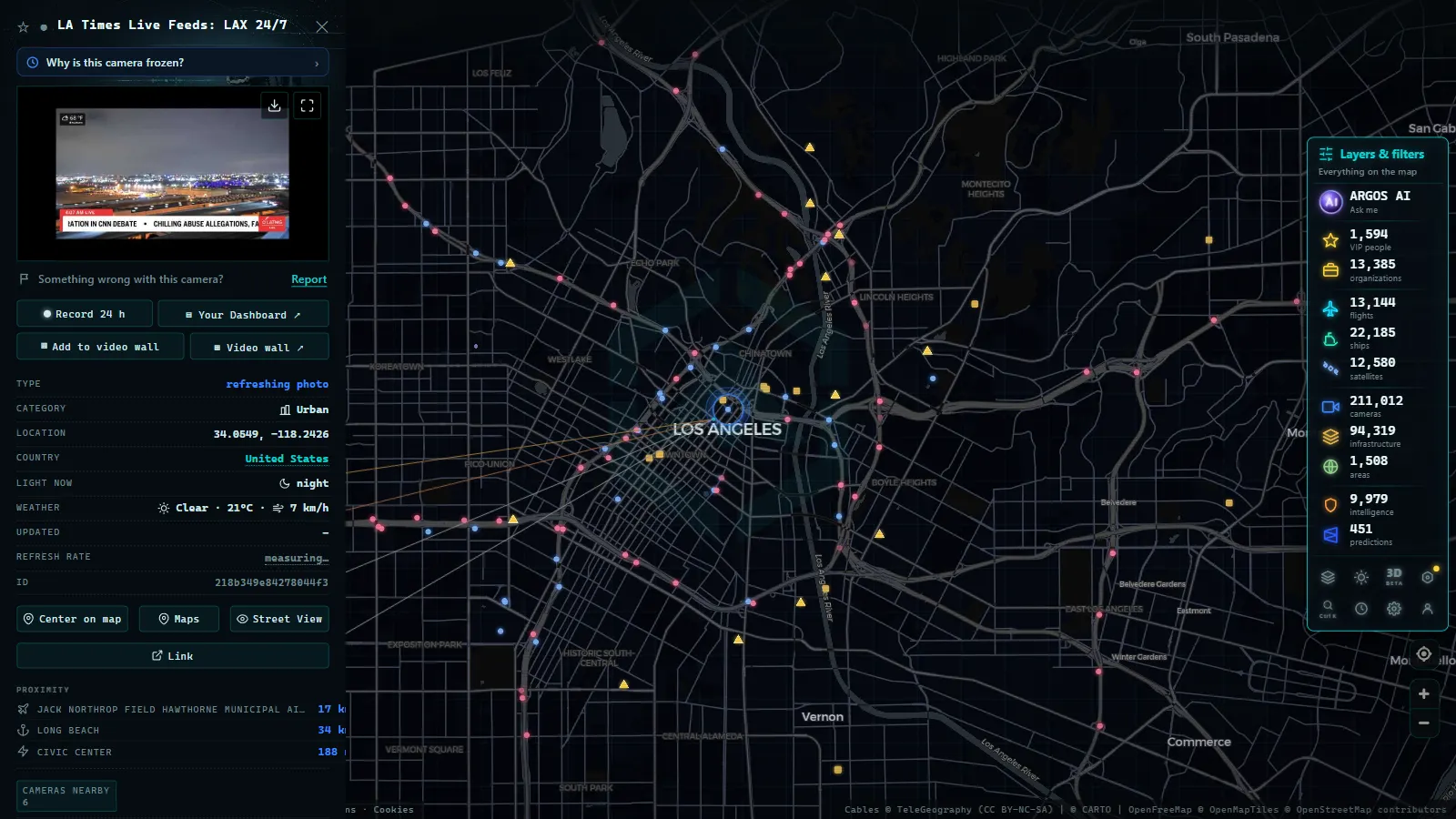
You can watch California traffic cameras live, free and straight from your browser: Caltrans publishes the feeds from its highways and interstates, AlertCalifornia adds its wildfire-watching panoramas, and across all public sources the ARGOS ATLAS map carries around 6,900 live cameras in California on a single screen, with no app and no sign-up. Anyone driving through Los Angeles, the Bay Area or the state's mountain passes has thousands of public eyes available, live, one click away.
In this guide we look at who operates each network, where the most useful cameras are and how to see them all on one map, with special attention to wildfire season, when these cameras go from convenience to safety tool.
Who operates traffic cameras in California
The backbone is Caltrans (California Department of Transportation), the state agency responsible for highways and interstates. Its cameras point at the roadway at interchanges, on-ramps and problem stretches, and their purpose is operational: traffic management centers use them to spot incidents and manage flow, while the public checks them to decide when and which way to drive. This is how the state's coverage breaks down on the map:
| Network or scope | Live cameras on the map | What it is built for |
|---|---|---|
| Caltrans | Around 3,500 | Traffic on highways and interstates: interchanges, on-ramps, problem stretches |
| AlertCalifornia | Around 1,200 | Early wildfire detection, with panoramic views of valleys and hillsides |
| California in total | Around 6,900 | All of the state's public sources, together and pinned on the map |
| United States | Around 49,000 | The context: the world's largest traffic camera ecosystem |
Two quick takeaways: Caltrans contributes about half of the California cameras on the map, and the state holds roughly one in seven of the American ones. One practical detail before moving on: many public traffic cameras publish frequently refreshed snapshots rather than continuous video. That is not a flaw (a fresh image is all you need to judge a road) but check the timestamp before trusting it, and if a camera looks frozen, the next one along the corridor usually settles the question.
California is part of the national 511 traveler information system, like every other large state. For the full picture of how that ecosystem works, we have a dedicated guide to traffic cameras in the United States.
AlertCalifornia: cameras built for wildfires
The second network is less known outside the state and far more unusual: AlertCalifornia, a university-operated network whose primary goal is early wildfire detection. Its cameras are not on freeway medians but on peaks, towers and hillsides, with panoramic views of entire valleys; many can rotate and some offer night vision.
Why include it in a traffic guide? Because in practice it does double duty. A panoramic camera above a canyon shows wildfire smoke, yes, but it also shows the road crossing that canyon, the fog rolling in at dawn, or snow on a mountain pass. The ARGOS ATLAS map includes around 1,200 AlertCalifornia cameras, and combined with the Caltrans network they cover both the asphalt and the terrain around it. Their spirit is the same as that of weather webcams: see the real conditions before trusting a forecast.
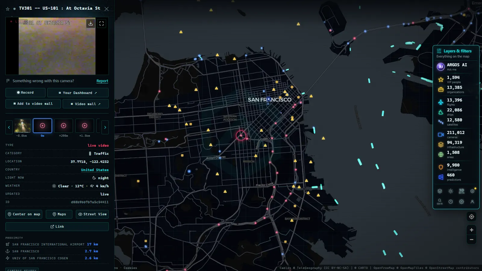
Los Angeles and the Bay Area: the key corridors
The two big metro areas concentrate most of the demand, and three corridors are worth having on file:
| Corridor | Route | Why watch it |
|---|---|---|
| I-5 | From the Mexican border to Oregon, through Los Angeles and the Central Valley | The classic long-haul route: its cameras help anticipate urban congestion and dense valley fog |
| US-101 | The coast between Los Angeles and San Francisco, through the most populated corridor | In the Bay Area it ranks among the most congested roads in the country |
| I-405 | The western bypass of Los Angeles | One of the busiest urban stretches in the United States; its cameras are Southern California's most-checked at rush hour |
The usage pattern is always the same: look at the camera on the problem stretch before you leave. A live image tells you in two seconds what a color-coded map only approximates: whether the jam is real, in which direction, and whether it is growing or clearing. Our guide to watching traffic live explains how to combine cameras and traffic maps to make better calls, and the same method works in any other big state, we apply it, for example, in our guide to Texas traffic cameras.
From the ARGOS ATLAS channel.
Cameras in wildfire season: what you can see
When wildfire season arrives, these two networks become the fastest visual source for answering concrete questions:
- Is there smoke on my route? A Caltrans camera over the freeway shows whether visibility is normal or smoke is crossing the road.
- What does the surrounding terrain look like? AlertCalifornia's panoramas reveal smoke columns from miles away, long before they reach the road.
- Is the road still open? During an evacuation or closure, a live image confirms the real state of a stretch better than any social media rumor.
One honest note: cameras show what is happening, not what will happen. For evacuation orders and fire perimeters, always follow official emergency channels; the camera is the visual complement that helps you understand the situation, not a substitute.
All of California's cameras on a single map
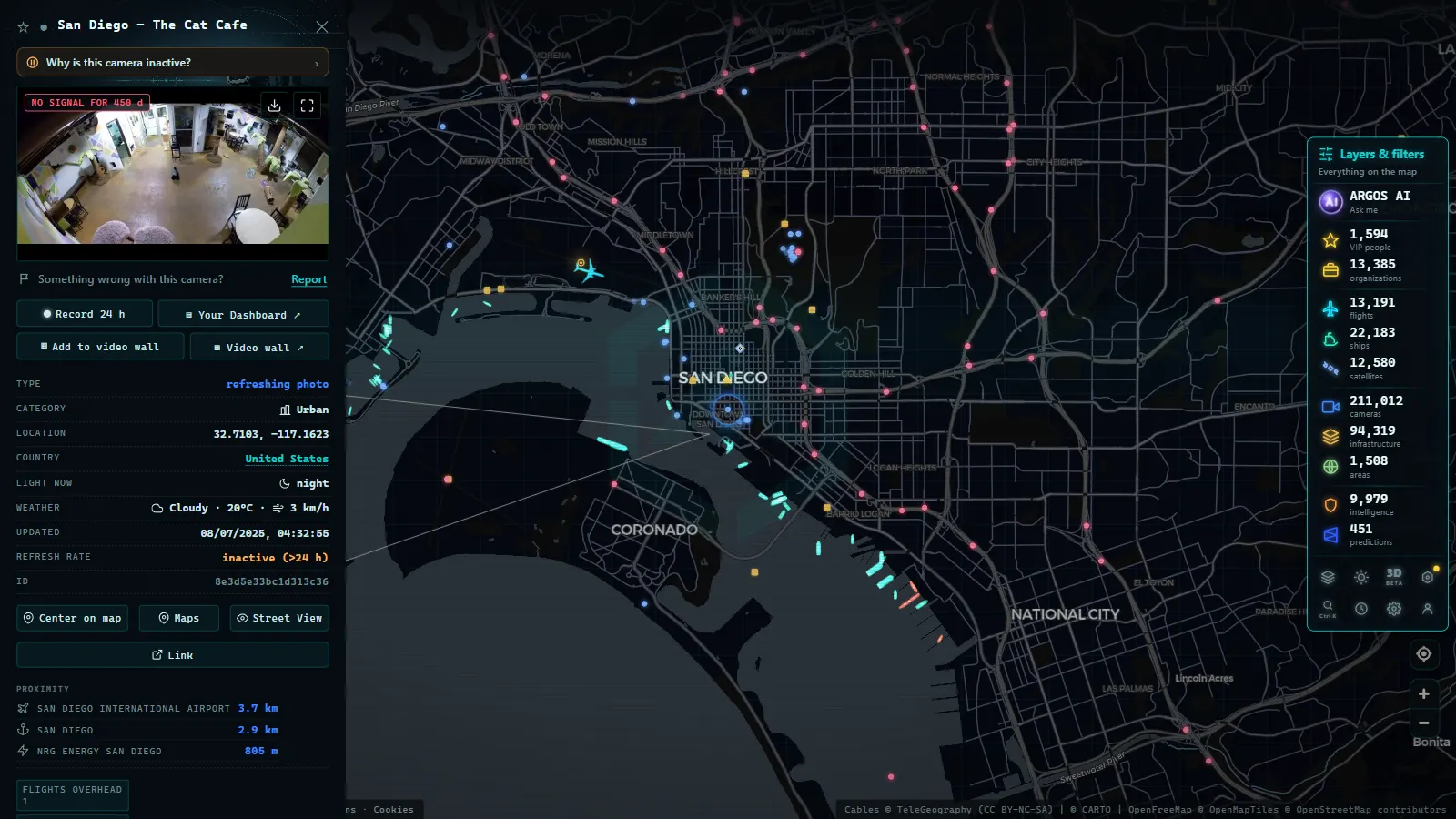
The weak point of this ecosystem is fragmentation: Caltrans on one site, AlertCalifornia on another, each with its own interface. The fix is an aggregator map. On the ARGOS ATLAS map you can pan across California and open any of its roughly 6,900 cameras in a single interface, alongside more than 200,000 public cameras worldwide plus live flights and ships. For a long drive down I-5 or for keeping an eye on an area during fire season, being able to hop from camera to camera on the map itself changes the experience entirely.
A final note on privacy, because it bears repeating: all of these are wide-view cameras. They show broad shots of roads and landscape at a resolution meant for judging conditions, not for identifying people, faces or license plates. If you want the technical and legal detail, we cover it in how traffic cameras work.
California is probably the world's best example of dual-use public cameras: the same network that saves you from a jam on a random Tuesday can help you understand an emergency in August. Knowing where to look is half the value.
Caltrans cameras explained: what "CA DOT cameras" actually show
Caltrans is the California Department of Transportation, and "Caltrans cameras," "CA DOT cameras," and "California traffic cams" all point to the same network: roadside units mounted on highways and freeways that feed live images back to traffic management centers. A single Caltrans camera is not a video stream. Most feeds are still frames that refresh every few seconds to a couple of minutes, which is enough to read congestion, a stalled vehicle, fog, or smoke, but not enough to make out license plates or faces.
Caltrans organizes the state into regional districts, and that split is the reason a single statewide map can feel scattered if you are only looking for one corridor. Northern California and Southern California are effectively covered by different district offices, each running its own batch of cameras along the freeways in its territory:
| Region | Typical coverage |
|---|---|
| North Coast and far north | Rural highways, mountain passes, winter conditions |
| Sacramento Valley / Central Valley | Interstate 5 and Highway 99 corridors |
| Bay Area | I-80, I-880, US-101 around San Francisco and Oakland |
| Los Angeles and Inland Empire | I-5, I-10, I-405, and the LA basin freeways |
| San Diego and the south | I-5, I-8, and the border corridors |
This is why a search for "caltrans cameras northern ca map" and one for "la traffic cams" lead to different clusters of feeds even though both sit inside the same statewide system: they are different districts' cameras, not different products.
For day-to-day driving, the practical difference between "traffic cameras" and the wildfire-oriented AlertCalifornia network described above is intent. Caltrans cameras exist to manage congestion and incidents on the road network; AlertCalifornia cameras exist to spot fire starts in the landscape around it. Many commuters only need the former, and the fastest way to use them is to go straight to the corridor you drive rather than scrolling a statewide list. How traffic cameras actually work covers the refresh-rate and resolution limits in more detail, and the different kinds of public cameras online explains how Caltrans feeds compare to the DGT, 511, or airport-style camera networks that often get grouped together under the same search.
Frequently asked questions
Who operates traffic cameras in California?
The main network belongs to Caltrans, the state's department of transportation, covering highways and interstates. It is complemented by AlertCalifornia, a university-run network of panoramic cameras built for wildfire detection that is also useful for checking roads and terrain conditions.
Is it free to watch California traffic cameras live?
Yes. Caltrans and AlertCalifornia publish their cameras openly, and the ARGOS ATLAS map lets you watch them live from any browser, pinned on the map, free, with no app to install and no account to create.
Are California's cameras useful during wildfires?
Yes, they are among the most consulted tools. AlertCalifornia's cameras were designed to watch for smoke in high-risk areas, and Caltrans cameras let you see whether a specific road is clear, smoky or closed, always as a wide view of the roadway.
Can I see all of California's cameras in one place?
On an aggregator map, yes. ARGOS ATLAS brings together around 6,900 live cameras in California (including some 3,500 from Caltrans and about 1,200 from AlertCalifornia) alongside the state's other public sources, so you can browse the whole of California without jumping between separate websites.
Do these cameras record people or read license plates?
No. They are wide-view cameras designed to show traffic and environmental conditions: broad, low-resolution shots of the roadway. They cannot identify faces or plates, unlike law-enforcement systems, which are not public.
- Queensland (QLD) Traffic Cameras: Brisbane Live Map
- Perth Traffic Cameras: Watch WA Freeways Live on One Map
- Texas Traffic Cameras Live: TxDOT on One Free Map
- Madrid traffic cameras: 1,464 public cams live on one map
- Ontario 511 Cameras: Live Map of All 1,670 Highway Feeds
- 511NY Cameras Live: 1,770 NY Traffic Views on One Map