Blog · Traffic cameras
Queensland (QLD) Traffic Cameras: Brisbane Live Map
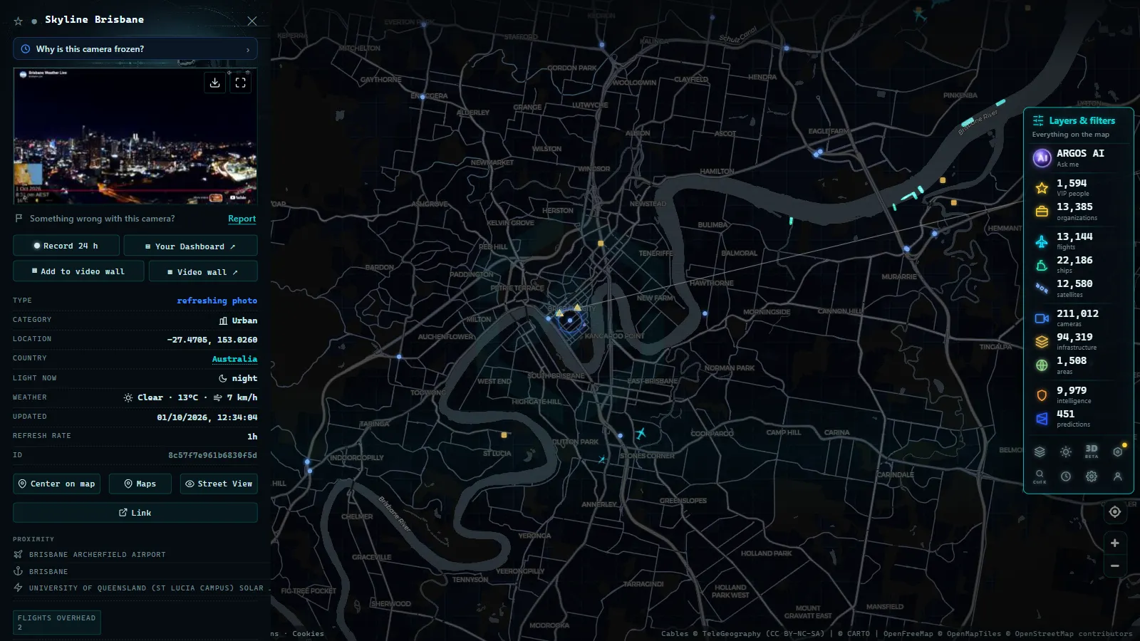
Brisbane's roads (and Queensland's) can be watched live without paying a cent: QLDTraffic, the state's official service, publishes around 260 traffic cameras, and the ARGOS ATLAS map gathers around 760 Queensland cameras live, roughly 200 of them in the Brisbane area, no sign-up, straight from the browser.
Few places reward the habit more, because Queensland driving comes with its own manual. Distances are long, the coast concentrates almost everything, and the weather can rewrite the day's plans in an hour: a tropical downpour, a flooded creek crossing, a storm cell parked over the motorway. In a state like this, seeing the road before you drive it is not a gadget, it is genuinely useful safety information. It costs nothing and takes seconds, which is the best ratio a driving habit can have.
How traffic monitoring cameras in Queensland work
QLDTraffic is the Queensland Government's real-time traffic information service. It gathers incident reports, roadworks, closures and (crucially in this state) flood warnings, alongside around 260 official traffic cameras covering Brisbane and the main corridors.
The network follows the state's logic: dense coverage where the people are, strategic coverage where the risk is. In Brisbane and the south-east corner the cameras watch motorway junctions and commuter pinch points; further out, they sit on the long coastal artery and the routes where conditions matter more than congestion, because when something closes out there, the detour can be measured in hours.
Like most official services, the cameras publish still images that refresh frequently rather than continuous video. That is all you need to judge what matters: how heavy the traffic is, whether the surface is wet, whether the storm has arrived yet. For the technical background on these systems, read how traffic cameras work.
It helps to read each frame with intent: how dense the traffic looks, whether the surface shines with rain, whether the sky behind the road has turned the color that precedes a downpour. Ten seconds per camera is enough once you know what its normal view looks like.
Brisbane's key routes, in one table
The south-east corner is where Queensland's traffic concentrates, and a few corridors decide most journeys:
| Corridor | What it is | Why check the camera |
|---|---|---|
| M1 Pacific Motorway | The great link between Brisbane and the Gold Coast, one of the busiest corridors in the state | Weekday peaks and beach weekends keep it under constant pressure |
| M3 | The spine through Brisbane itself, connecting the city's north and south | An incident at rush hour radiates across the whole metropolitan network |
| Bruce Highway | The legendary coastal artery toward the tropics, the state's lifeline | On a route this long, weather and flooding (not volume) are the usual enemies |
The reading: the M1's cameras are among the most consulted in Queensland, the M3 decides the capital's rush hour, and the Bruce Highway is the one to check before any long drive north. Counting official cameras and other public sources, the ARGOS ATLAS map shows around 200 cameras in the Brisbane area, enough to review a commute junction by junction, or to check the first stretch of a long haul before committing to it.
Storms and the wet season: when cameras matter most
Queensland's subtropical and tropical climate gives its traffic cameras a second job. In the wet season, the question is rarely "is there a jam?" and often "is the road even passable?". Cameras answer it visually:
- Rain intensity: a camera shows the difference between drizzle and a tropical downpour better than any radar map.
- Standing water: sheets of water on the carriageway are visible at a glance, precious information in a state where flooded roads are a genuine hazard and the official advice is always the same: if it's flooded, forget it.
- Storm aftermath: after a storm cell passes, cameras show whether the road is clear, littered with debris or still being worked on.
- Fog and smoke: inland stretches get morning fog, and controlled burns can drift smoke across roads; both show up instantly on camera.
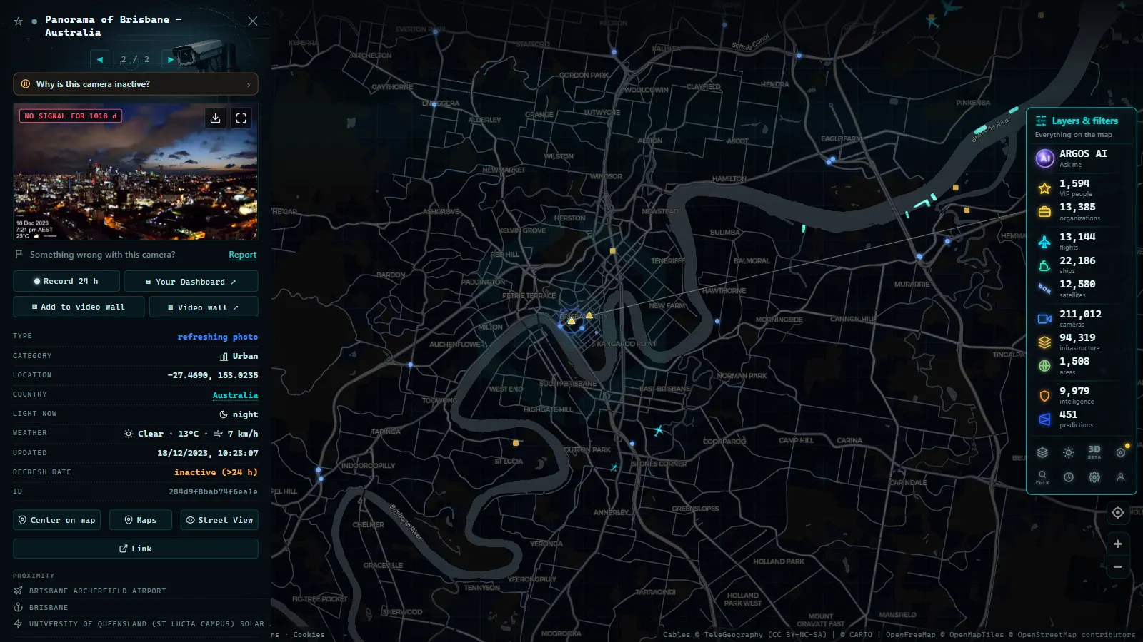
One caveat from experience: the same weather that makes cameras valuable can knock them out. Power cuts and lost connectivity freeze images, so always glance at the timestamp before trusting a frame. If a camera seems stale, our piece on why a traffic camera stops working explains the usual causes, and the fix is usually to find the next camera along the same corridor.
From the ARGOS ATLAS channel.
One live map for every Queensland camera
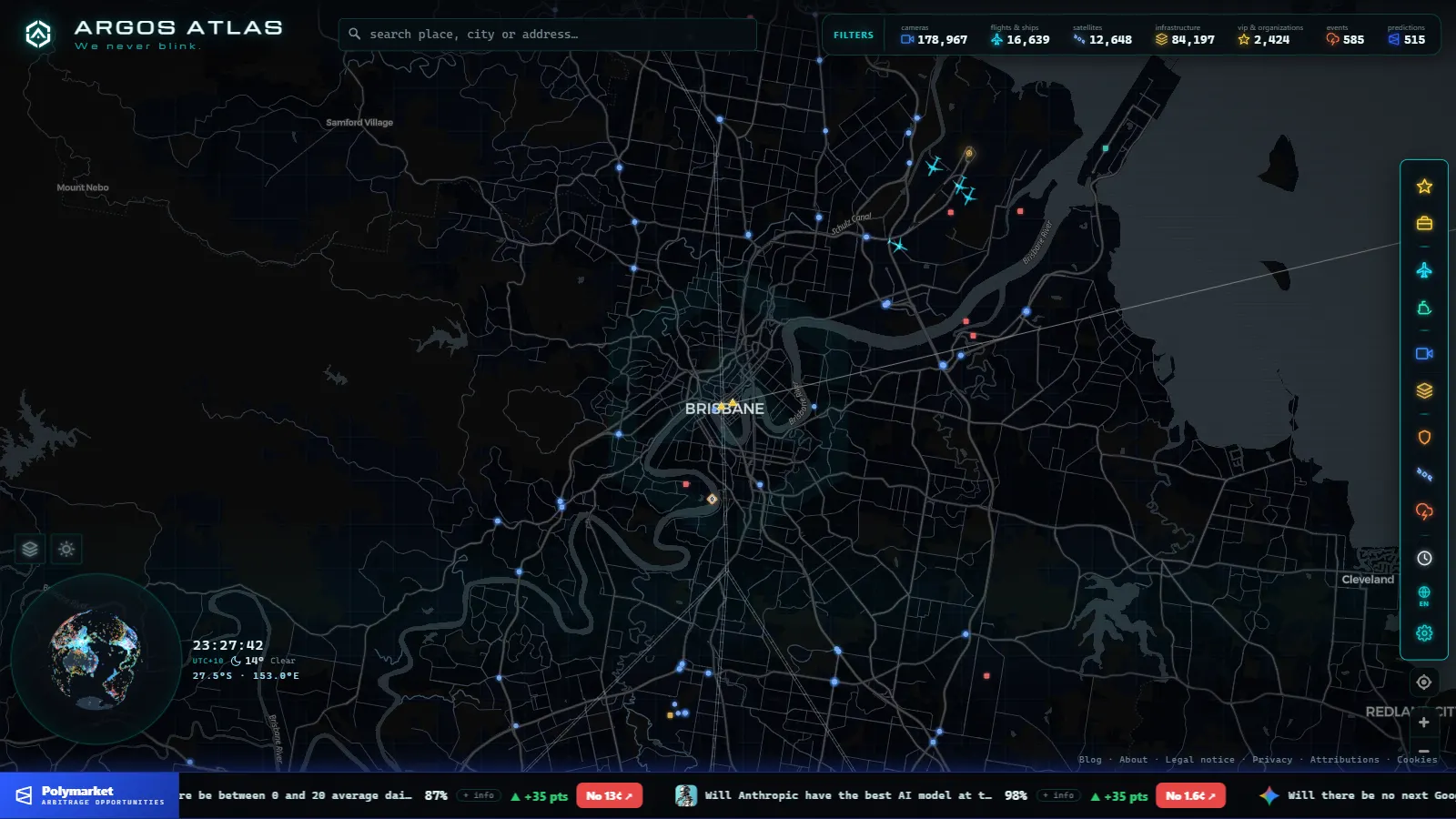
QLDTraffic covers Queensland, but journeys do not respect state borders, and official portals stop at them. An aggregator map removes that seam. On the ARGOS ATLAS map, Queensland's roughly 760 cameras appear alongside more than 200,000 public cameras worldwide: you can follow the M1 south into New South Wales, plan the whole Brisbane–Sydney run camera by camera, or check the city you are flying into next week, all in one interface.
The map adds context no traffic portal has: live flights, ships, ports and airports on the same screen. Watching Brisbane's motorways while the evening arrivals line up over Moreton Bay is the kind of situational picture a single-purpose site cannot give you. It also removes the small daily frictions: one bookmark instead of several, one interface to learn, and the same gesture (zoom, tap, glance at the timestamp) wherever you happen to be looking.
If you drive beyond Queensland, we cover the whole country in our guide to traffic cameras in Australia, and there is a dedicated guide to traffic cameras in Sydney and NSW for the southern half of that east-coast run.
Privacy: what these cameras show and what they don't
The usual clarification, because it matters: traffic cameras show wide views of the road and cannot identify people or read number plates. Their purpose is to show conditions (flow, weather, incidents) not to watch individuals, which is precisely why the images can be published openly. Enforcement cameras are a separate system under separate rules.
A practical routine for Queensland driving
Four habits that replace a lot of guesswork:
- Check before you leave: ten seconds on the two or three cameras along your route is all it takes. Never browse cameras while driving.
- In storm season, check the timestamp first: a frozen image of a dry road is worse than no image at all.
- Pair cameras with official alerts: QLDTraffic's flood and closure warnings tell you what is shut; the cameras show you what the rest looks like.
- On long hauls, check the far end too: on the Bruce Highway, conditions at your destination can be a different world from conditions at your departure.
Queensland will keep throwing weather at its roads. The drivers who handle it best are the ones who look first, and with the cameras a tap away on a live map, there is no reason not to be one of them.
Brisbane traffic cameras, traffic maps and traffic reports: what's the difference
Searches for "brisbane traffic", "cameras brisbane" or "traffic report brisbane" often mean three different things. A traffic camera is a single still image from one fixed point, refreshed every few seconds to a couple of minutes: useful to check one spot on your own route, not to understand the wider picture. A traffic report is a written or spoken summary of incidents, usually a line like "lane closed near an on-ramp" without a picture at all. A traffic map sits between the two: it plots every camera (and, where available, incidents) on a map you can pan and zoom, so you pick the point that matters to you instead of scrolling a list by road name.
| You want to know | What it shows | What it won't show |
|---|---|---|
| Traffic camera | A live still of one exact point | Conditions a kilometre up the road |
| Traffic report | A worded summary of incidents | What the road actually looks like |
| Traffic map | Every camera at once, by location | Fine detail until you open one |
For the Gold Coast M1 corridor specifically, the cameras that matter aren't all inside Brisbane's own grid. The Pacific Motorway (M1) runs as the single busiest link between Brisbane and the Gold Coast, and its cameras are spread along the full length of the route rather than clustered in one suburb, which is why searching "brisbane traffic cameras" alone can miss them. The Gold Coast's own arterial roads (the ones feeding the M1 from the coast side) carry a separate set of cameras again, and they tend to matter most exactly when the M1 itself is backed up, since that's when drivers start looking for an alternate route through the city streets.
The practical approach is the same one the rest of this guide uses: don't memorise which camera belongs to which road name. Open the live map, find your position or your route, and click through the points along it. That single view replaces a traffic camera list, a traffic report page and a Brisbane traffic map as three separate searches: on ARGOS they're one map, built the same way as how these monitoring cameras work everywhere else in the network.
Frequently asked questions
What is QLDTraffic?
QLDTraffic is the Queensland Government's official real-time traffic information service. Alongside incident alerts, closures and flood warnings, it publishes around 260 traffic cameras covering Brisbane and the state's main corridors.
Can I check the Bruce Highway before driving?
Yes. The Bruce Highway is one of the most monitored corridors in the state, and its cameras are especially valuable because it is the main artery running up the Queensland coast. Checking the key stretch before a long drive is one of the best habits a Queensland driver can have.
Why do some cameras stop updating during storms?
Heavy weather can knock out power or connectivity at a camera site, freezing the image. Always check the timestamp before trusting what you see, and if a camera looks stale, look for a nearby one on the same corridor to confirm conditions.
Do Queensland traffic cameras record people?
No. Traffic cameras show wide views of the roadway to assess flow and conditions, and they cannot identify people or read number plates. They are a separate system from enforcement cameras, which operate under their own rules.
Is there a free live map of Queensland traffic cameras?
Yes. The ARGOS ATLAS map gathers around 760 Queensland cameras live, roughly 200 of them around Brisbane, free and with no sign-up. You can follow the M1, the M3 or the Bruce Highway camera by camera from your browser.
- Perth Traffic Cameras: Watch WA Freeways Live on One Map
- Texas Traffic Cameras Live: TxDOT on One Free Map
- Madrid traffic cameras: 1,464 public cams live on one map
- Ontario 511 Cameras: Live Map of All 1,670 Highway Feeds
- 511NY Cameras Live: 1,770 NY Traffic Views on One Map
- London Traffic Cameras: 776 TfL JamCams on a Live Map