Blog · Traffic cameras
Perth Traffic Cameras: Watch WA Freeways Live on One Map
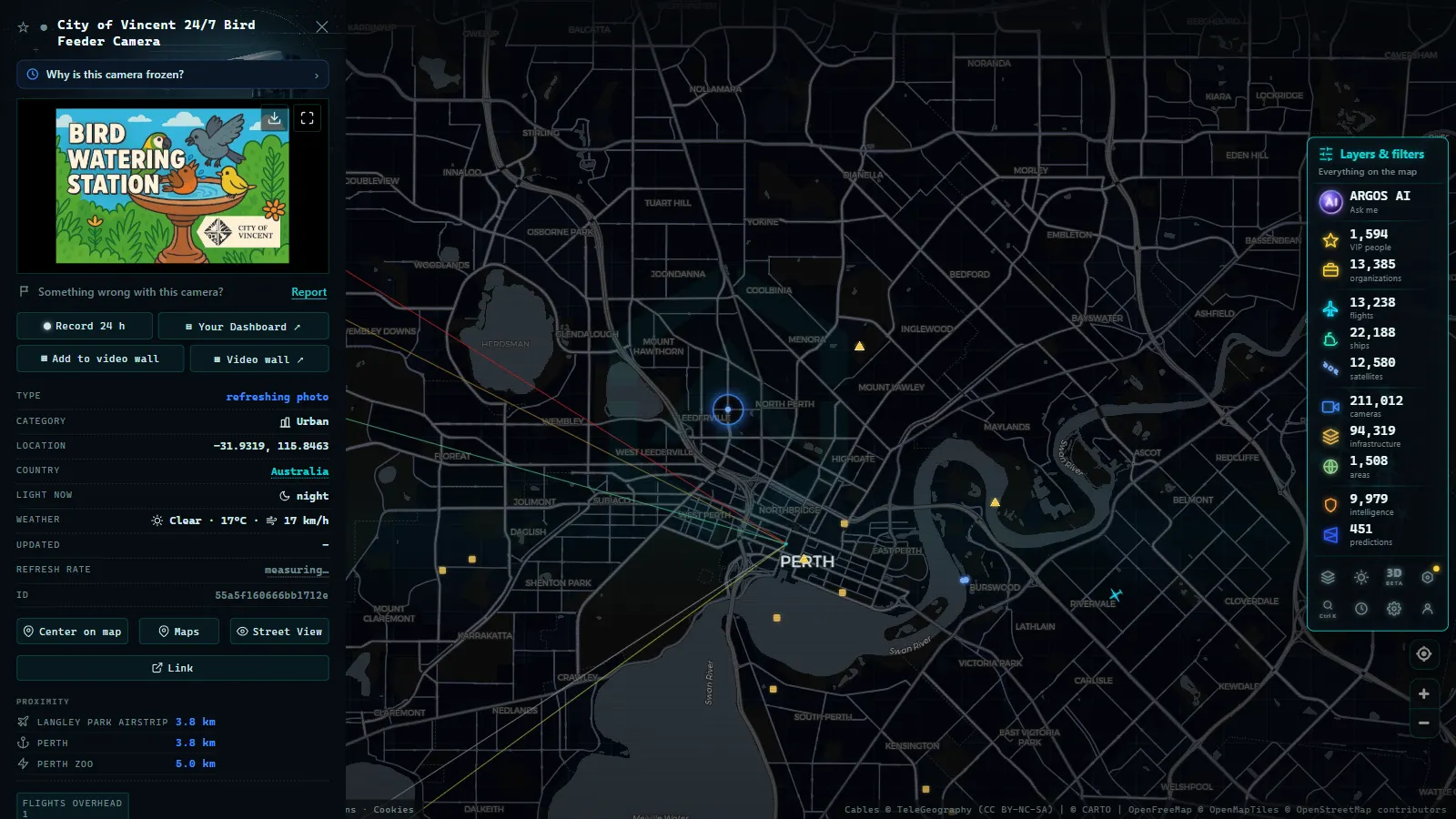
Perth is Australia's most isolated big city, which makes its freeways matter twice as much: when the Kwinana or the Mitchell jams, there are not many alternatives. The good news is that Main Roads Western Australia, the state road agency, publishes its main-corridor traffic cameras openly, and you can browse them all on one live map with no sign-up. The ARGOS ATLAS map gathers around 170 public cameras across Western Australia, most of them in metropolitan Perth.
This guide covers what that network includes, how to read it, and the local tricks that get more out of it.
The essentials, in 20 seconds
- 170 public cameras: the ARGOS ATLAS map gathers Main Roads WA's network across Western Australia, most of them in metropolitan Perth.
- Main Roads Western Australia: the state agency runs the cameras as wide informational shots of the carriageway, not enforcement.
- Three corridors: Kwinana Freeway (south of the river), Mitchell Freeway (north of the CBD) and Graham Farmer Freeway (the CBD tunnel) carry Perth's traffic.
- No sign-up: the live map is free to browse, each camera opens with its latest image and timestamp.
- Google Maps traffic layer: shows modeled congestion by color only, the camera feed shows the actual current image of the road.
Who runs the cameras: Main Roads WA
Main Roads Western Australia manages the road network of Australia's largest state, and its cameras follow the logic of every major traffic agency: watch the points where an incident hurts most. In practice that means metropolitan Perth's freeway system, the big interchanges and a handful of strategic corridors beyond the city.
As with the rest of Australia's public networks, the purpose is informational: wide shots of the carriageway to show flow, not to identify people or plates. Enforcement systems are separate networks. For the country-wide picture, see the guide to traffic cameras in Australia.
Which corridors are covered
Perth's camera map makes sense as soon as you know its three main axes:
| Corridor | Area covered | Why it matters |
|---|---|---|
| Kwinana Freeway | The north-south axis south of the Swan River | The way out to the southern suburbs and Fremantle-Rockingham |
| Mitchell Freeway | The north-south axis north of the CBD | The corridor of the northern coastal suburbs |
| Graham Farmer Freeway | The tunnel and east-west link beside the CBD | The bypass that spares the city center; when it clogs, everything feels it |
| Major arterials and interchanges | CBD approaches and metro junctions | Where the peak-hour queues actually form |
The honest reading: it is a more compact network than Sydney's or Brisbane's (Perth is a smaller, more linear city) but it is well placed. The real blind spots are outside the metro area, where Western Australia's distances make full coverage unrealistic.
From the ARGOS ATLAS channel.
Watching the cameras on one live map
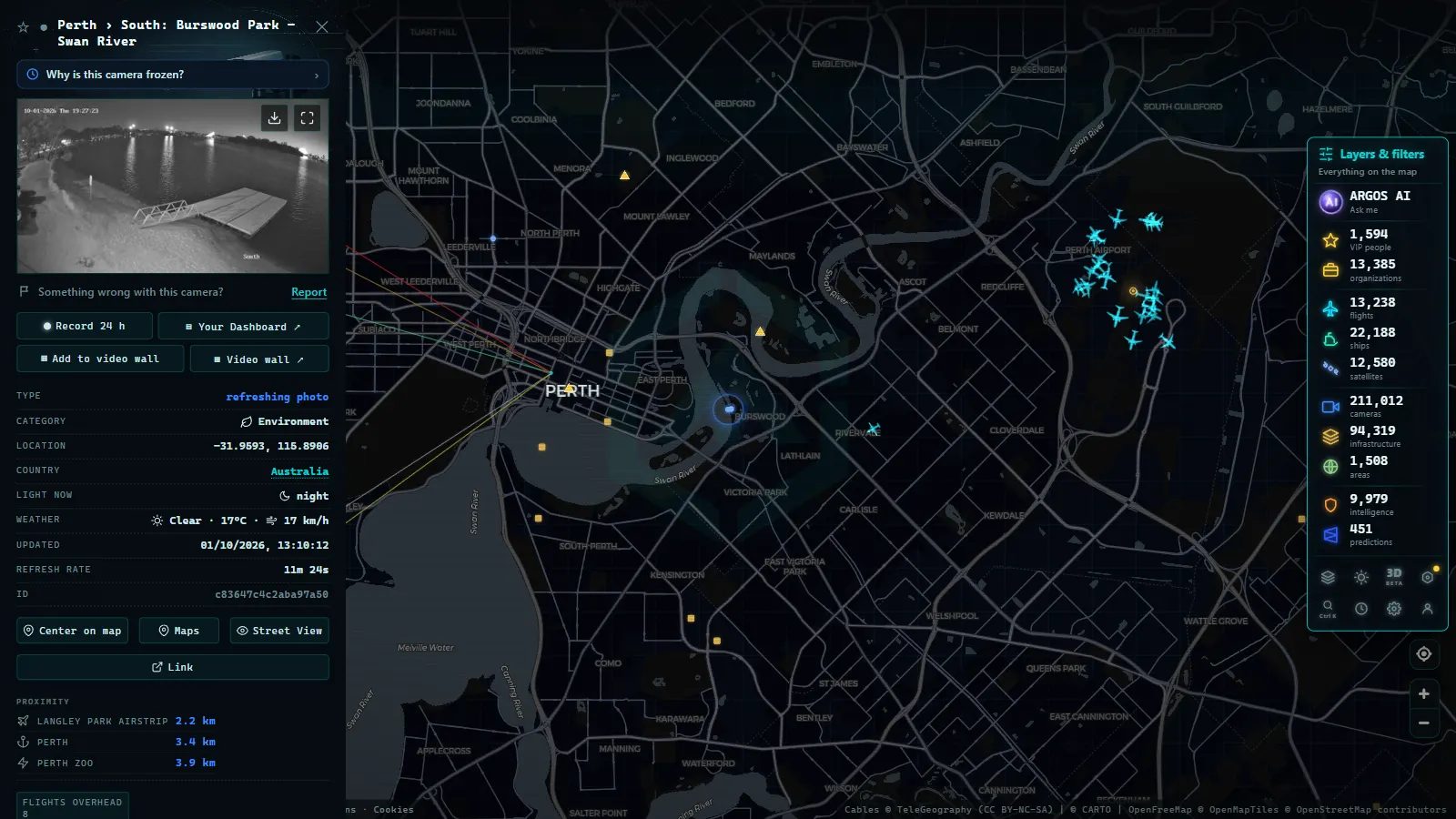
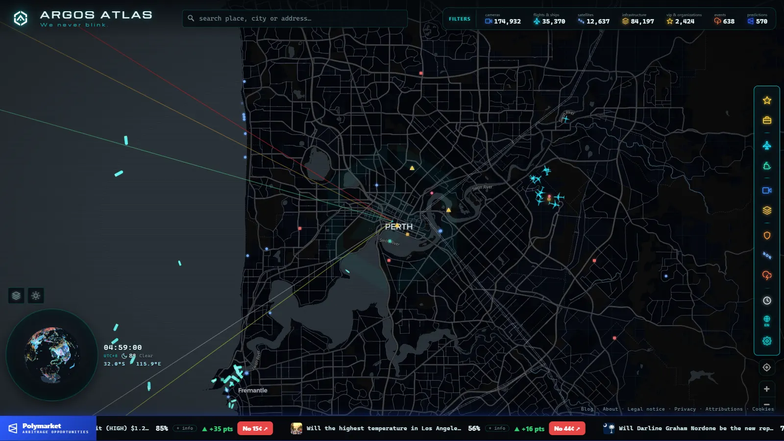
On the ARGOS ATLAS map you can open Perth and see its public cameras over the real geography: the river, the two coast-parallel freeways and the tunnel. Each camera opens with its latest image and timestamp, and they sit alongside live flights and ships, useful in a city whose airport and port (Fremantle) are part of everyday logistics.
Local usage tricks:
- Peak hour with a twist: Perth starts early; morning queues build sooner and dissolve earlier than in the eastern cities.
- Check the tunnel first: the Graham Farmer Freeway is the system's fuse; if it slows, the CBD and the bridges feel it within minutes.
- In summer, watch for smoke: bushfire advisories on the outer approaches are the most common non-traffic reason to open a camera here.
- Compare with the east coast: to see how a bigger network reads on the same map, try the guides to Sydney and NSW traffic cameras and Brisbane and Queensland.
Beyond the metro area
Outside Perth, Western Australia changes scale: it is a state of enormous distances, with corridors like the Great Eastern Highway toward the mining interior and the coastal route to the southwest, and camera coverage that is necessarily selective. The cameras that do exist beyond the metropolitan belt cluster around the approaches to larger towns and at known trouble spots.
For a traveler, the practical consequence is twofold. First: on a long WA drive, cameras help you at the departure and the arrival, not in between, for the middle stretch, official road reports and common sense take over. Second: precisely because they are scarce, the rural cameras that exist are valuable; if your route passes one, checking it before you leave gives you the only real image you will get of hundreds of kilometers.
That asymmetry is not a flaw in the map, it is the geography of Western Australia drawn in cameras. Density goes where people go, and the rest of the state is covered by other sources.
Reading a traffic camera like a local
Four quick habits that work in Perth and on any public network:
- Check the timestamp before the picture: a one-minute-old frame is information; a frozen hour-old one is noise.
- A still image is enough to decide: frequent snapshots do the same job as video when choosing a route.
- Use the camera to verify the app: if your navigation paints red, the image tells you whether it is a crash, roadworks or plain density.
- Absence is a signal too: if several cameras on one corridor drop at once, there is usually a power or network incident in the area, one more data point.
Perth's network is not Australia's largest, but it is one of the most satisfying to read: few corridors, clearly defined, and a geography you grasp at first glance. Open the live map, center it on the Swan River, and within two minutes you will know whether the city is flowing or stuck.
Google traffic vs. live camera footage for Perth
When people search "Google traffic Perth," they are often looking for two different things at once: the colored congestion lines on Google Maps, and an actual video feed of what a road looks like right now. These are not the same tool, and knowing the difference saves you from opening the wrong one.
Google Maps' traffic layer estimates congestion from the aggregated location and speed data of phones moving along a route. It colors roads green, orange or red based on how much slower traffic is running than free-flow speed. That's useful for planning a route or checking whether the Kwinana Freeway looks slow before you leave, but it shows no image of the road: no cars, no lane closures, no weather, no crash scene. It's a model of traffic, not a picture of it.
A live traffic camera feed does the opposite. Main Roads WA's roadside cameras show the actual current image of one specific point, refreshed every few seconds. That's the layer to check when you want to see, not estimate, what's happening: whether a lane is genuinely blocked, whether it's raining on the Mitchell Freeway, or whether that red segment on Google Maps is a crash or just school-pickup traffic.
| Tool | What it shows | Best for |
|---|---|---|
| Google Maps traffic layer | Modeled congestion by color, no image | Route planning, ETA |
| Traffic camera feed | Actual current image of one location | Confirming what's really happening |
In practice, the two work well together: use Google Maps to spot where traffic has slowed, then check the nearest camera to see why. Google's layer doesn't link out to individual roadside cameras, so you need a second map that plots the camera locations themselves, which is what the live map on this page does for Perth's freeway network. The same pairing (a congestion layer plus a real camera feed) is how commuters check conditions in other Australian cities: see the camera maps for Sydney and Brisbane if you're tracking a route beyond Perth.
Frequently asked questions
Who publishes Perth's traffic cameras?
Main Roads Western Australia, the state road agency, operates the camera network across metropolitan Perth's freeways and major arterials, plus key corridors elsewhere in the state.
How many traffic cameras are there in Western Australia?
The ARGOS ATLAS map gathers around 170 public cameras across Western Australia, most of them in metropolitan Perth. It is a smaller network than Sydney's or Brisbane's, but it covers the corridors that matter.
Do Perth traffic cameras stream live video?
The public network mainly serves still images that refresh every short interval, designed to show the real state of the road. For deciding a route, a recent snapshot does exactly the same job as video.
Can I watch Perth traffic cameras free, without signing up?
Yes. They are public informational cameras, and aggregator maps let you browse them with no account, alongside the rest of Australia and the world.
Are these cameras used for speeding fines?
No. These are traffic-management cameras with wide shots of the road. Speed and red-light enforcement cameras are separate systems under their own rules.
- Texas Traffic Cameras Live: TxDOT on One Free Map
- Madrid traffic cameras: 1,464 public cams live on one map
- Ontario 511 Cameras: Live Map of All 1,670 Highway Feeds
- 511NY Cameras Live: 1,770 NY Traffic Views on One Map
- London Traffic Cameras: 776 TfL JamCams on a Live Map
- Barcelona traffic cameras: the ring roads and AP-7 live