Blog · Traffic cameras
Traffic cameras in Europe: where to see the roads in each country
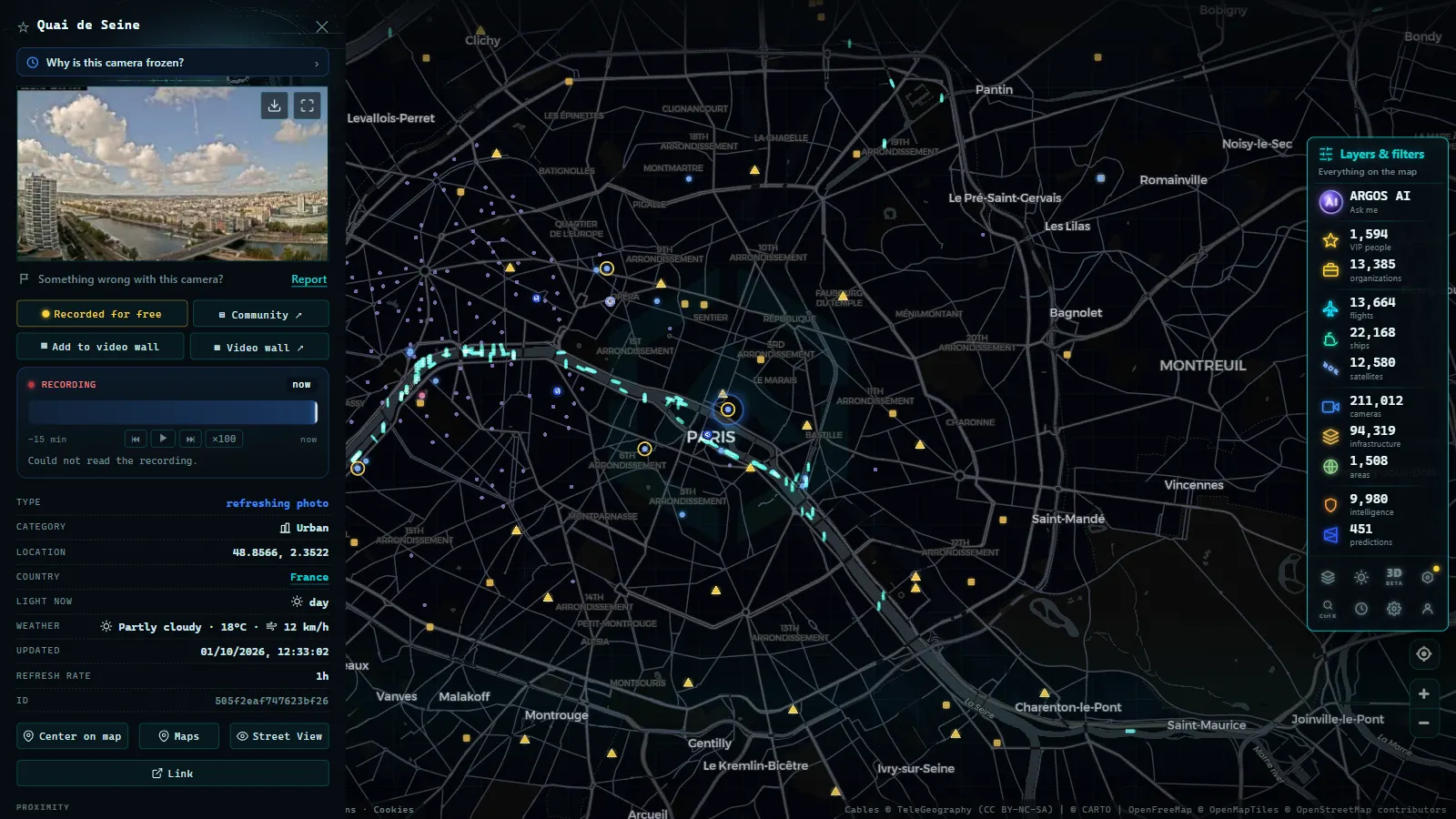
You are planning a long road trip across several countries and you want to do what you always do at home: check the road before you set off. Then you discover the problem. Traffic cameras exist across Europe -- many of them -- but each country publishes them on its own portal, in its own language, with its own format. What would take a minute at home turns into an expedition through French, Portuguese, or German websites that you may not even know how to search. This guide brings order to the situation: it explains who publishes cameras in the main countries, why coverage varies so much from one to the next, and how to view them all gathered in a single map without fighting your way through a dozen different portals.
The problem with international road travel
Within your own country, checking traffic is second nature: you know the official portal, your navigation app speaks your language, and you are familiar with the cameras that matter to you. The moment you cross a border, that knowledge evaporates. Who manages French motorways? Where does the UK publish its road cameras? Does the German site you found cover the whole country or just one state?
The root of the problem is structural: there is no single pan-European traffic camera portal. Each country organises its road network in its own way -- some through a strong national agency, others through private concessionaires, others through regional authorities -- and that organisation is reflected directly online: as many portals as there are operators, each with its own language, its own search function, and its own criteria.
For a trip crossing three or four countries, that means locating three or four different web ecosystems, often in languages you do not speak, just to do something as simple as checking a stretch of road. The information exists; what fails is access. Let us start with a map of who publishes what.
Country by country: who publishes the cameras
What follows is a broad overview of how traffic camera publication is organised in the main destinations. It is not intended as a directory of websites -- those change and reorganise constantly -- but as a mental map of the type of organisation you should look to in each country.
United States: the 511 systems
In the US, each state operates its own 511 traveller information system, most of which include public road camera feeds. State departments of transportation -- Caltrans in California, CDOT in Colorado, TxDOT in Texas -- publish cameras covering their highway networks. Mountain passes in the Rockies and Sierra Nevada are particularly well served, reflecting the same logic as Alpine webcam culture: in areas where weather can close a road in hours, visual confirmation before driving is a genuine safety tool, not a convenience.
United Kingdom: National Highways and the devolved operators
The UK offers one of the most centralised models. National Highways manages the strategic road network in England and publishes substantial traffic information, including camera feeds. Scotland, Wales, and Northern Ireland each have their own equivalent bodies. For the driver, this means relatively few portals to learn, though the interface and road numbering conventions are local. The concentration of cameras on motorways and A-roads makes the UK one of the countries where a pre-journey camera check is most productive.
France: motorway operators and ASFA
France combines two worlds. On one side are the toll motorway operators -- companies managing specific concessions -- many of which publish camera feeds for their sections. On the other is the national road information system, covering the non-toll national network. The ASFA framework, the association of French motorway operators, provides a degree of coordination, but in practice the cameras a driver needs may be split across several operators depending on the route. The practical consequence: the camera you are looking for depends on whether your route uses a toll motorway or the national network.
Germany: the Laender portals
Germany transfers its federal structure directly to traffic information. A significant share of management and publication is handled by the individual federal states, the Laender, each with its own mobility portal. Overall coverage is good, but it is distributed across more than a dozen regional websites with different interfaces. Crossing the country from west to east can involve three or four different portals. Travellers from countries with centralised systems often find this the most disorienting aspect of German road information.
Portugal: the infrastructure managers
In Portugal, road information publication centres on the transport infrastructure managers, who hold most of the data for the main network, complemented by individual motorway concessionaires. The logic is familiar to travellers arriving from neighbouring countries: one main actor supported by satellite operators. Coverage on the principal routes is reliable; rural roads are patchier.
Italy: the motorway concessionaires
Italy is both the paradise and the labyrinth of the concessionaire model. A large part of the motorway network is managed by concession companies, each responsible for their sections and the information they publish -- cameras included. That fragments the lookup: the camera you need depends on which company manages the section you are travelling, something a foreign driver rarely knows in advance. Crossing Italy from the Alps to the south can mean consulting four or five different operators.
Nordic and Alpine countries: the webcam tradition
Special mention goes to the Nordic countries and the Alpine nations -- Switzerland, Austria, and their mountainous neighbours -- where harsh weather has created a particularly strong road webcam culture. Road authorities in these countries maintain dense camera networks, many with an explicitly meteorological purpose: checking the state of an Alpine pass or an Arctic road before committing to it is not a comfort but a recognised necessity. For the traveller, these are among the countries where camera checks yield the most value. Austrian and Swiss motorway operators in particular publish high-resolution feeds of major passes that have been online for decades.
Why coverage varies so much between countries
If cameras exist almost everywhere, why do some countries offer thousands in the open while others share barely a few dozen? Two factors explain most of the difference.
The first is the publication model. Where the network is managed by a public body with a mandate to inform -- as with National Highways in England or the Laender agencies in Germany -- publishing cameras openly is natural. Where private concessionaires dominate, the decision to publish rests with each company, and criteria vary: some offer their cameras as a customer service, others provide only incident data. Where competence is regional, openness depends on the enthusiasm of each territorial administration.
The second factor is reuse licensing. European open-data policy pushes for public-sector information to be reusable, but the pace of adoption is uneven. Some countries publish their feeds with clear licences that allow third parties to aggregate them; others publish images for human viewing without a defined reuse framework. That distinction, invisible to the end user, determines which cameras can appear in aggregators and which remain confined to their original portal. The legal and privacy framework that underpins all of this -- public-sector reuse, GDPR, re-publisher commitments -- is covered in detail at traffic cameras and privacy.
From the ARGOS ATLAS channel.
The alternative: a map that has already found them all
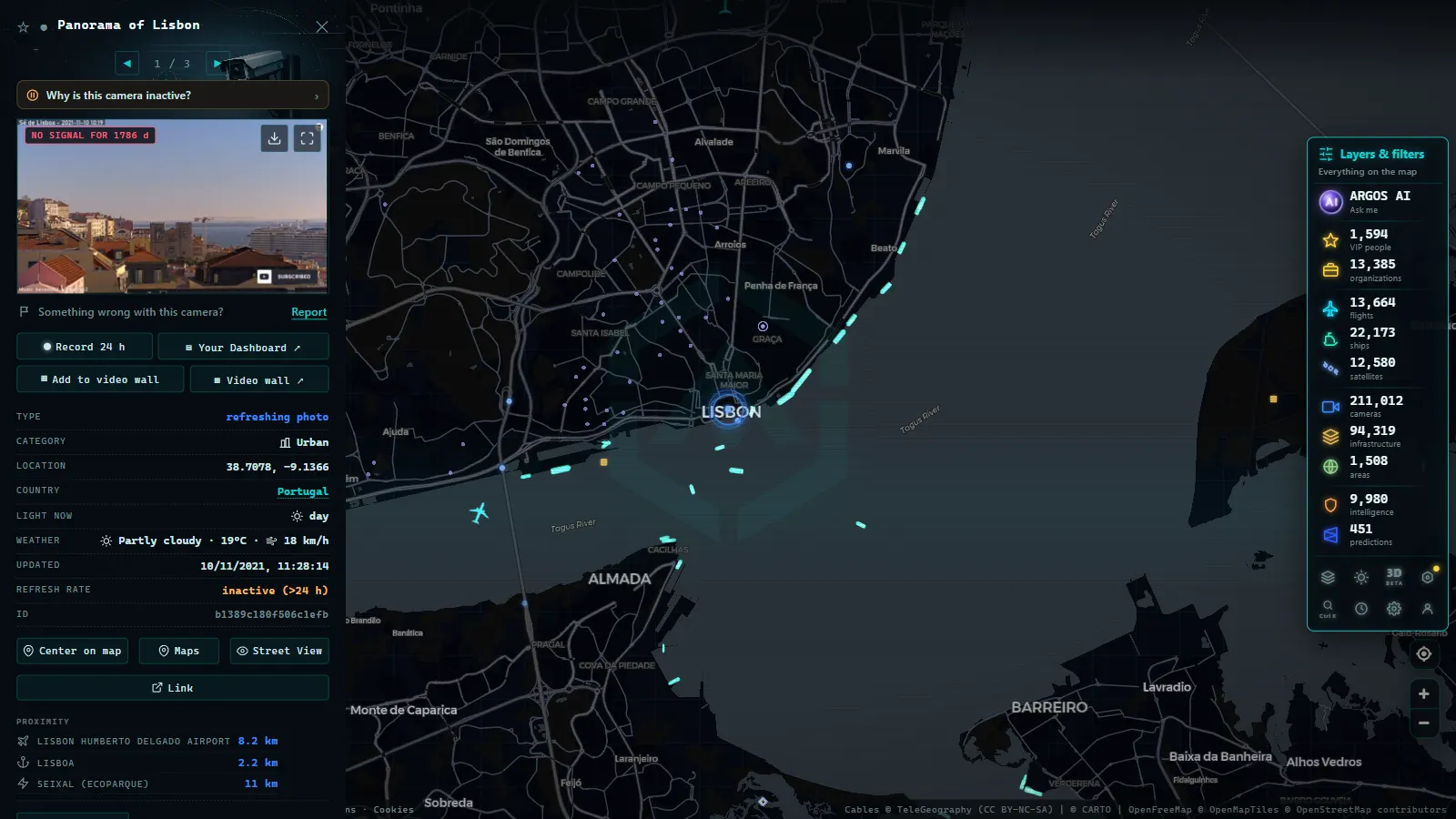
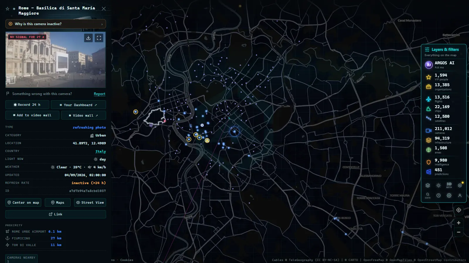
The practical conclusion is clear: going portal by portal works, but it costs time that few journeys justify. The alternative is to rely on someone who has already done that work. Argos Atlas aggregates thousands of public traffic cameras from official sources around the world -- Europe included -- and presents them geolocated on a single interactive map, free and without registration.
The mechanics could not be simpler: you move the map to the section that interests you -- whether it is in France, the Alps, or a Norwegian road -- and open the available cameras, each showing the latest frame published by its source with a citation of its origin. The fragmentation of portals, languages, and formats disappears: geography is the only index you need.
For the traveller, the difference is moving from "what is that country's traffic website called?" to "I zoom in to where I will be tomorrow."
Tips for planning a European route with cameras
A few final guidelines for getting the most out of cameras on an international journey.
- Prioritise critical points: border crossings, international tunnels, and mountain passes concentrate the largest share of surprises -- checks, delays, weather events. These are the sections where a pre-journey camera check pays off most.
- Watch the time zones: the timestamp on a camera image corresponds to the local time of the camera. If you are checking a Nordic or UK camera from a different time zone, adjust mentally before deciding whether the frame is recent.
- In mountain terrain, apply the full winter method: camera plus forecast plus official road condition report, just as you would for a high Alpine or Rocky Mountain pass. The complete system of sources is laid out at all the ways to see traffic in real time.
- Check the update cadence: each source refreshes at its own rate, and in some countries cameras update less frequently than in the UK or US. The timestamp is your compass.
Frequently asked questions
Do all European countries publish their traffic cameras?
The great majority publish at least part of their network, but with enormous differences in volume and accessibility. Countries with strong public bodies or a tradition of meteorological webcams -- the Nordic nations, the Alpine countries, and the UK -- offer dense open networks. In others, publication depends on private concessionaires or regional administrations and is more fragmented.
Do I need a different website for each country?
If you use the original sources, yes -- and sometimes several per country: motorway operators, state agencies, and regional portals coexist in many territories. The alternative is an aggregator like Argos Atlas, which has already located and geolocated thousands of official cameras from around the world on a single map: one site, one language, all of Europe.
Are they free?
Yes. Official traffic cameras are published as a public road information service and their use carries no cost, either on the original portals or through responsible aggregators. Argos Atlas in particular is freely accessible, with no registration and no payment.
Can I view them from anywhere without restrictions?
As a general rule, yes: these are resources published openly on the internet, accessible from any country without the geo-blocks that apply to some streaming services. The real barrier is practical rather than technical -- knowing which portal to find and how to navigate it -- and that is precisely the barrier that disappears when the cameras are gathered on a single map.
Conclusion
Europe is full of traffic cameras waiting to be seen; the only thing hiding them was the fragmentation of portals, languages, and operators. Now you have the mental map -- national agencies here, concessionaires there, regional portals further north -- and, above all, the shortcut: an aggregator that has done the searching for you and serves the results on an interactive map. The next time you plan a route that crosses a border, spend five minutes travelling it visually before you travel it physically: open the map, follow your itinerary country by country, and look at the roads that await you.
Frequently asked questions
Do all European countries publish their traffic cameras?
Most publish at least part of their network, but coverage varies enormously: some countries offer thousands of cameras in the open while others share only a few dozen, depending on how their road network is managed and their open-data policies.
Do I need a different website for each country?
If you go portal by portal, yes: each country -- and sometimes each region or operator -- publishes its cameras on its own website in its own language. An aggregator like Argos Atlas eliminates that problem by bringing them together, geolocated, on a single map.
Are they free?
Yes. Official traffic cameras are published as a public road information service at no cost to the user. Responsible aggregators that bring them together, such as Argos Atlas, are also free and require no registration.
Can I view cameras from another country without restrictions?
In general, yes: these are publicly published resources accessible from anywhere on the internet. The real barrier is not geographic but practical -- finding the right portal and navigating its language and interface.
- Why Is a Traffic Camera Not Working? Outages, Maintenance, and Alternatives
- Live Traffic Mexico City: 15,000+ CDMX Cameras In Real Time
- Live Traffic Cameras in Buenos Aires: Urban Autopistas, Metrobus, and the North-South Corridor
- Live Traffic Cameras in Bogota, Colombia: IDU, Movilidad, TransMilenio and Pico y Placa
- Santiago Traffic Cameras: Local Traffic Updates Live from Chile
- Live Traffic Lima, Peru: Watch Real-Time Cameras Now