Blog · Traffic cameras
Local Traffic Updates: See Any Road Live on One Map (Free)
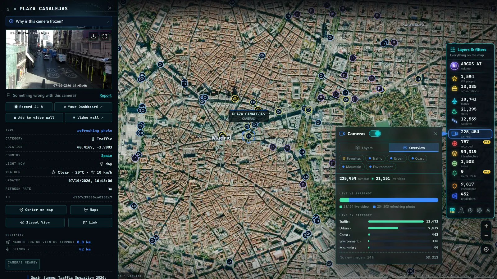
You can get local traffic updates for free, straight from your browser: your area's official traffic agency confirms incidents and roadworks, a live public camera shows you the road exactly as it is right now, and a live map pulls both together on one screen. In the case of the ARGOS ATLAS map, that means more than 200,000 cameras worldwide, with no app to install and no account to create. The full check (map color, camera image, decision) takes under a minute and can save you half an hour in a jam.
The information is out there, public and almost always free: traffic agencies, city governments and toll road operators publish real-time data and images from the main roads. The problem has never been a lack of data, it is knowing where to look and which source to trust at each moment. In this guide we walk through the most useful sources, explain why live cameras are the most honest primary source available, and give practical advice by scenario: the daily commute, a long trip or an unexpected incident mid-route.
What local traffic updates are and where they come from
Local traffic updates are any up-to-the-minute information about the state of the roads in your area: congestion, roadworks, accidents, closures, weather conditions on the pavement and estimated travel times. That information comes from several layers that complement each other:
- Road sensors, which measure speed and traffic density at specific points.
- Traffic cameras operated by public agencies and road operators, showing the road exactly as it is at that moment.
- Mobility data from vehicles and phones, which feeds the colored lines in navigation apps.
- Official incident reports: scheduled works, event closures, accidents confirmed by emergency services.
No single layer is perfect on its own. Sensors give you numbers but no context; navigation apps are fast but sometimes exaggerate a slowdown or take a while to clear a jam that has already dissolved; official reports are reliable but slow. A camera image, on the other hand, interprets nothing: it shows what is there. That is why the routine that actually works does not pick one source, it chains them in the right order.
Where to check local traffic: sources by area
Your first stop should always be the official source for your area. In most countries, traffic management is split across three levels (the national or regional road authority, the city government and the toll road operators) and each level publishes its own information. This table sums up where to look:
| Area | Where to see live traffic | Source type |
|---|---|---|
| United States | Each state's department of transportation and its 511 service | Official state agency |
| Spain | The DGT, with its incident map and cameras | Official national agency |
| Your city | The city government: traffic lights, urban cameras, closures for works or events | Municipal source |
| Toll roads | The road operator, with its own cameras and message signs | Road operator |
| Anywhere in the world | The ARGOS ATLAS live map, with more than 200,000 public cameras | Camera aggregator |
The takeaway from the table is simple: the more local the source, the finer its detail, and the aggregator works as a master index for all the rest. If you drive in the United States, the 511 system deserves a chapter of its own, since every state publishes its own open camera network; we cover it in depth in our guide to traffic cameras in the USA.
Almost all of these bodies offer websites with incident maps, camera directories and roadwork notices. Knowing how to tell an official source from a dubious aggregator is half the battle: an official source guarantees that the image matches the camera location shown and that the feed genuinely updates.
Live cameras: the primary source
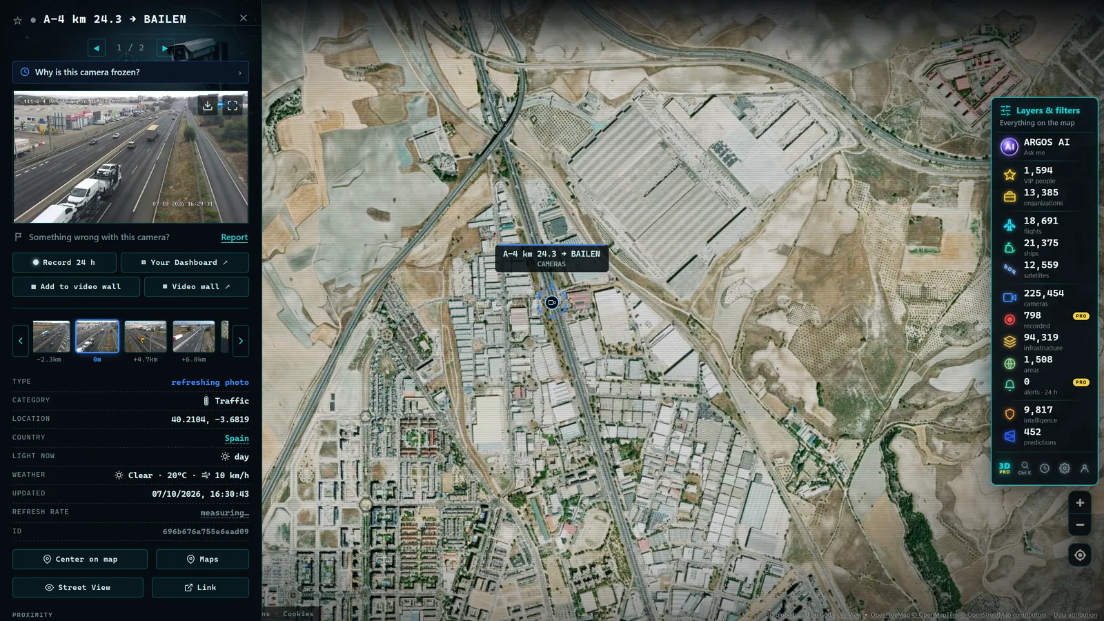
Among all available sources, traffic cameras deserve their own chapter because they are the only one that does not require trusting anyone's interpretation. A camera has no opinion: if there is congestion, you see it; if the road is clear, you see that too. That is why traffic control centers themselves use cameras as their main tool to confirm incidents before activating protocols.
Understanding how traffic cameras work helps you read them correctly. Most do not stream continuous video but publish still images that refresh every so often, so check the timestamp before drawing conclusions. And if a camera appears down or frozen, it does not always mean something serious is happening: there are common technical reasons why a camera stops broadcasting, from a communications outage to routine maintenance.
Cameras also have a weather advantage: they are the fastest way to know whether it is raining hard, whether there is fog on a mountain pass or whether the road surface is white before you commit to a route. One important note on privacy: these cameras use wide shots designed to show the general state of the road, they do not identify people and do not allow license plates to be read.
From the ARGOS ATLAS channel.
How to verify a traffic jam on a live map
The most useful verification flow combines two layers: the color on a map and the eye of a camera. If your navigation app marks a stretch in red, find the nearest camera to that point and confirm with the image whether the jam is real, which direction it affects and how far it stretches. With that information you can decide whether to wait, reroute or delay your departure.
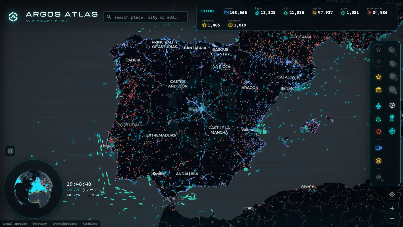
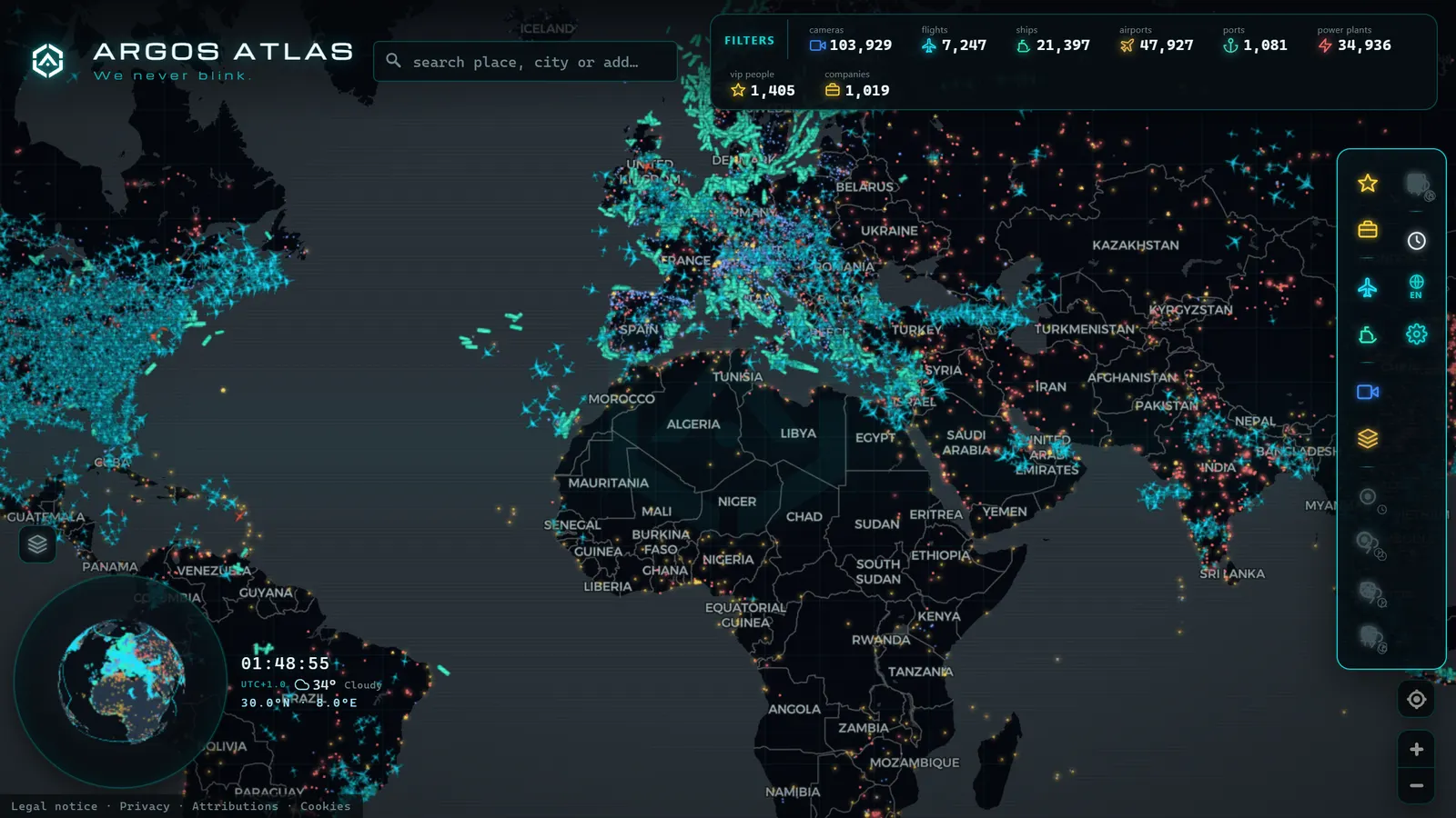
This is where an aggregator map makes the difference. The ARGOS ATLAS map brings together more than 200,000 live public cameras from around the world on a single map, so you can go from the app's colored line to the actual image without hopping between different agency websites. It also shows other live layers (flights, ships, airports, ports) which come in handy when a jam is caused by something bigger than a traffic light. If you want to go deeper into this way of checking the roads, there is a full guide on watching traffic live.
Which source to use in each scenario
Not every situation calls for the same tools. This table sums up the combinations that work best and the concrete habit that solves each case:
| Scenario | What to check | The habit that works |
|---|---|---|
| Daily commute | The two or three cameras along your usual route | A thirty-second glance before leaving to decide whether you need a head start today |
| Long trip | The official incident map plus cameras at known trouble spots | Review before setting off and at every stop: city approaches, mountain passes, work zones |
| Unexpected incident | The official report plus the nearest camera | Tell a minor accident apart from a long closure that justifies a detour |
| Bad weather | The camera on the affected stretch | See the actual state of the road (rain, snow, fog) instead of trusting a forecast |
There is one nuance the table cannot capture: order matters. The app alerts you, the official source confirms, and the camera shows you. Start with the camera without knowing what you are looking for and you waste time; stop at the app's colored line and you are deciding blind, on an interpretation nobody has verified.
The takeaway is simple: local traffic updates work best when you combine sources, and the camera is always the one that settles the question. With a live map like ARGOS ATLAS, that full loop takes less than a minute, from your browser, free, with nothing to install.
Frequently asked questions
Where can I see local traffic live, for free and on a map?
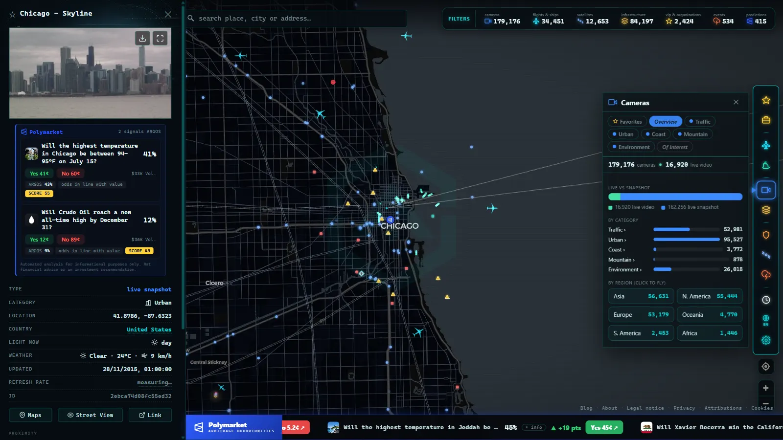
On an aggregator map such as ARGOS ATLAS, which brings together more than 200,000 live public cameras from around the world on a single free map. It opens in any browser, with nothing to install and no account to create, and takes you from the congestion color to the actual image of the road in a couple of clicks.
What is the most reliable source for local traffic updates?
A combination of an official source and a live camera. Your local traffic agency confirms incidents and roadworks, while the camera lets you see the road with your own eyes, with no interpretation in between. Navigation apps are useful as a first alert, but it pays to verify what they show.
How often do traffic cameras update?
It depends on the operator. Some stream continuous video, while others publish still images that refresh every few minutes. That is why you should always check the timestamp on the image before making a decision based on it.
Can traffic cameras identify me?
No. Public traffic cameras use wide shots designed to show the general state of the road, not to recognize faces or read license plates. Their purpose is to report traffic flow and road conditions while respecting privacy.
Do I need to install an app to check local traffic?
Not necessarily. Most traffic agencies publish their cameras and incident maps on the web, accessible from any browser. Aggregator maps such as ARGOS ATLAS also work directly in the browser, with nothing to install.
- US Traffic Cameras: All 511 Feeds on One Live Map
- Spain Summer Traffic Operation 2026: Dates and Live Cameras
- UK Traffic Cameras Live: JamCams, Motorways & More
- FL511 Traffic Cameras: 5,700 Live Feeds, One Map
- NSW Traffic Cameras: Watch Sydney Live on One Map
- California Traffic Cameras: 6,900 Live, Caltrans and More