Blog · Traffic cameras
Texas Traffic Cameras Live: TxDOT on One Free Map
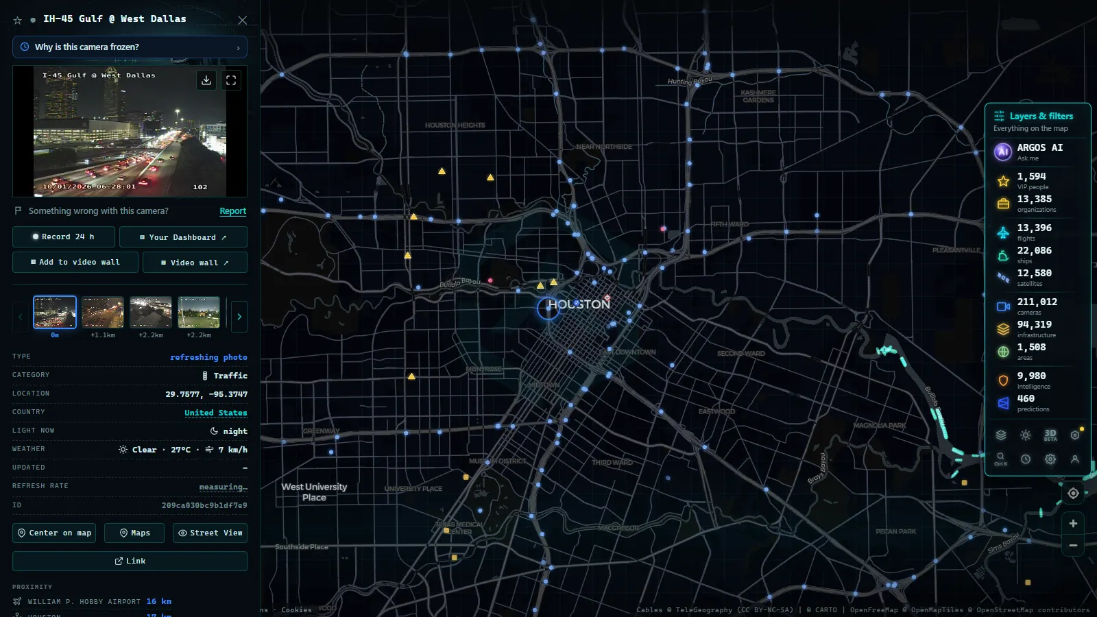
Texas is a state measured in hours behind the wheel: enormous distances, giant metro areas and weather that can go from sunshine to severe storm in an afternoon. That is why its public traffic camera network is one of the largest in the United States (around 4,400 cameras on the ARGOS ATLAS map, free and with no sign-up) and knowing how to use it saves real time for anyone driving through Houston, Dallas, Austin or San Antonio.
The essentials fit in three questions: who operates the cameras, where the most useful ones are, and how to see the whole state on a single live map. Let's take them in order.
Who operates traffic cameras in Texas
The main network belongs to TxDOT (Texas Department of Transportation), the state highway agency. Its cameras cover interstates, state highways and urban interchanges, feeding both traffic management centers and the public. The official channel is DriveTexas, the state's road conditions portal, where cameras sit alongside notices for roadworks, closures and incidents. For day-to-day use the distinction barely matters: the official feeds end up in the same public pool wherever you choose to view them.
The ARGOS ATLAS map carries around 3,900 TxDOT cameras which, together with other public sources, bring the state's total to around 4,400, putting Texas among the largest state networks in the country, in the same league as Florida. This system is part of the national traveler information ecosystem we explain in our guide to traffic cameras in the United States: each state runs its own network, but the model is the same nationwide.
Houston, Dallas-Fort Worth, Austin and San Antonio, in one table
The four big metro areas concentrate the highest camera density, and each has its own personality:
| Metro area | What defines it | What to check before leaving |
|---|---|---|
| Houston | The state's largest, with one of the most complex urban freeway networks in the country: loops and spokes that saturate daily | The cameras that separate alternate routes with very different travel times |
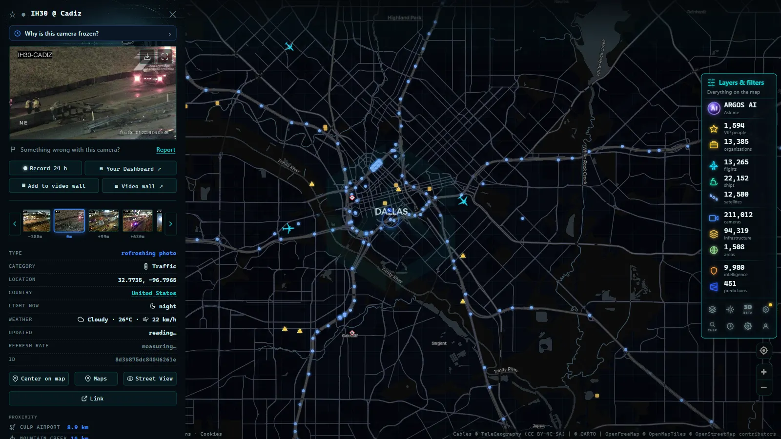
| Dallas-Fort Worth | A double conurbation crossed by corridors linking two urban cores and a huge airport | The multi-level interchanges |
| Austin | The capital, whose road network has strained under years of rapid growth | I-35 through downtown, one of the most-checked stretches in the state |
| San Antonio | The hub where southern Texas routes and border-bound traffic converge | The urban loop and the approaches |
Rush-hour patterns differ between the four, so the camera you need at seven in the morning is rarely the one you need at five in the afternoon. In all four, though, the usage pattern is the same: look at the camera on the problem stretch before leaving home or the office. One image beats any congestion icon, as we explain in our guide to watching traffic live.
I-10, I-35 and I-45: the corridors worth watching
Three interstates carry much of Texas road life:
| Corridor | Route | Why watch it |
|---|---|---|
| I-10 | The great east-west route: crosses the state from El Paso to Houston and continues toward Louisiana | Extremely long stretches with constant heavy truck traffic; its cameras help anticipate roadworks and bad weather en route |
| I-35 | The north-south spine linking Laredo, San Antonio, Austin and Dallas-Fort Worth | Some of the most congested urban stretches in the state, and a first-order trade corridor toward the Mexican border |
| I-45 | The Houston-Dallas link | The Gulf Coast's classic evacuation route when a hurricane threatens; in emergencies, its cameras show the real state of an evacuation better than any rumor |
The practical takeaway: if your trip uses any of these three, find their cameras before setting off. On normal days they save you from jams; on bad ones, they tell you the truth before anyone else does.
From the ARGOS ATLAS channel.
Severe weather: when a camera becomes safety information
Texas weather deserves its own section: severe storms, flash flooding and, on the coast, hurricane season. Seeing the pavement on a camera (heavy rain, standing water, visibility) is safety information, always keeping in mind that the camera shows what is happening now and that official warnings come first. A camera never replaces a closure notice, but it answers the question the notice cannot: what does the road actually look like at this minute?
The sensible way to use them on an ugly day is paired with the official report: DriveTexas and the alerts tell you what is closed or under warning; the camera shows you how the stretch looks right now. Check the forecast, check the images, and leave a few minutes earlier if either looks bad, Texas distances forgive very little improvisation.
How to see Texas cameras on a single map
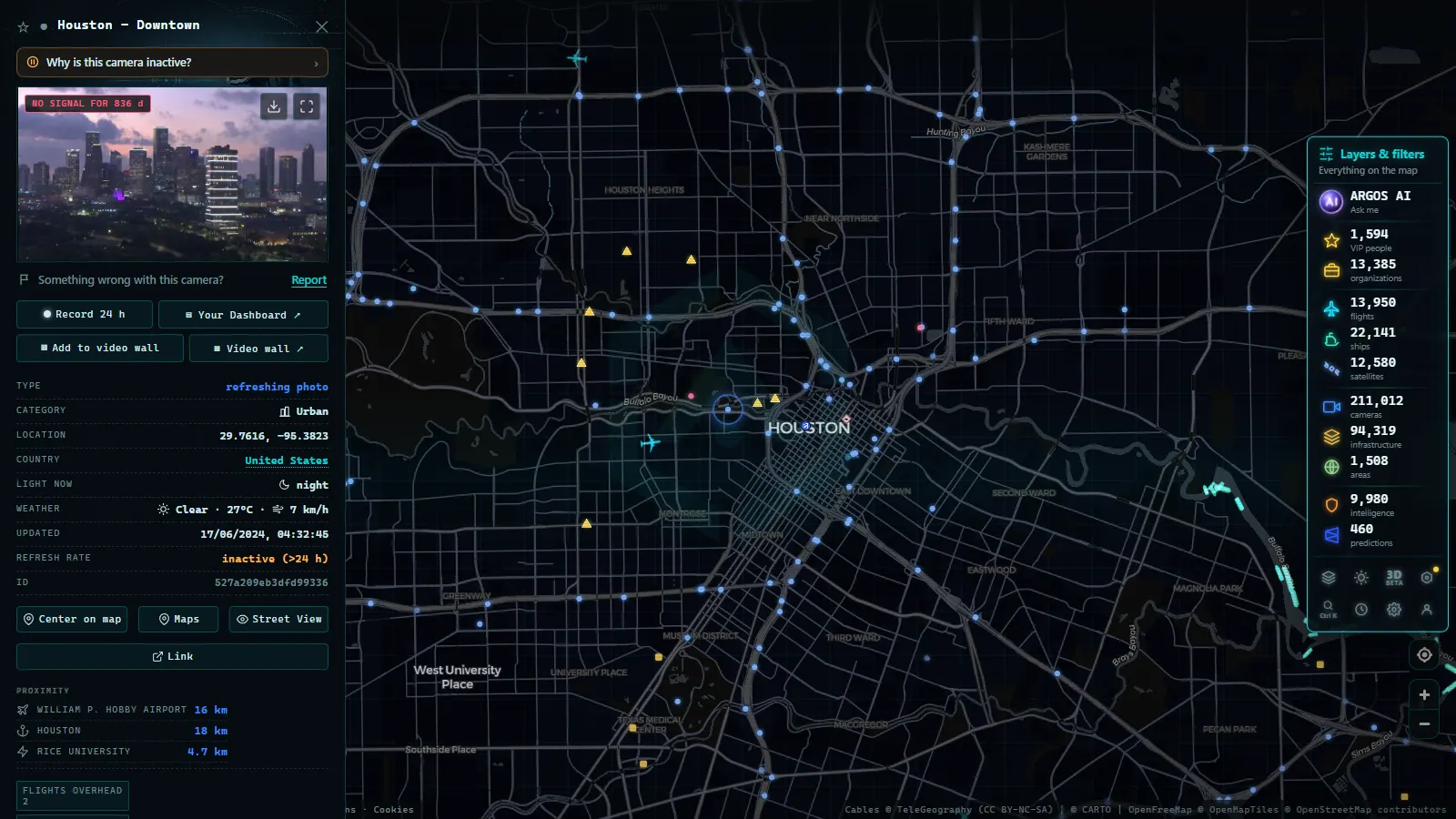
DriveTexas is excellent for the state, but falls short when the trip continues: drive from Houston to New Orleans or from El Paso westward and you switch portals at the state line. The alternative is an aggregator map. On the ARGOS ATLAS map you can browse Texas with its ~4,400 cameras and continue seamlessly into any neighboring state, within a total of more than 200,000 live public cameras worldwide, alongside real-time flights and ships. Heading west, that same continuous view connects with the network we cover in our guide to California traffic cameras. The workflow does not change from city to city: zoom to your corridor, open the two or three cameras at the interchanges that decide your trip, and give each one a quick look before trusting it.
One usage tip: always check the image timestamp. Most traffic cameras publish frequently refreshed snapshots rather than continuous video, and knowing whether a picture is one minute or one hour old completely changes its value. If a camera happens to be down, the next one along the same corridor is usually enough, a network as dense as TxDOT's rarely leaves a stretch uncovered.
For the Texan Hispanic community, with family and businesses on both sides of the border and in other states, this continuous view has obvious practical value: the same interface works for checking I-35 on a Monday morning and for scoping out the route east before a long trip, where it connects with the network we describe in our guide to Florida traffic cameras.
Privacy: what these cameras show and what they don't
It is worth closing with what these cameras do not do. TxDOT traffic cameras are wide-view: broad shots of the roadway, built to judge congestion and conditions, at a resolution that cannot identify faces or read plates. They are not police surveillance cameras or ticketing systems; their purpose is informational and their access, public.
That is precisely why they can be published openly without compromising anyone's privacy: they show the state of the road, not the people using it. With that settled, the recommendation is simple: before your next Texas trip, spend one minute checking the cameras on your route. It is the cheapest habit there is for arriving sooner and driving safer.
TxDOT's own map, Texas 511, and camera coverage in El Paso
TxDOT cameras are the traffic cameras owned and operated directly by the Texas Department of Transportation, as opposed to the ones run by individual cities or toll authorities. TxDOT publishes its own feed through two channels: the DriveTexas.org map and the Texas 511 service (website and app), both built around road conditions and closures, with camera snapshots organized district by district rather than as one continuous grid.
That district-by-district design is also the main limitation of those two tools. Texas 511 and DriveTexas split the state into TxDOT's own districts, so a view that is live for Houston resets as soon as you scroll toward Amarillo or the Rio Grande Valley: neither one offers a single pane with every TxDOT camera running at once. That is the gap a unified live map fills, pulling TxDOT's district feeds into one view instead of 25 separate ones.
Yes, there are traffic cameras across Texas, not only in the four metro areas covered above. TxDOT fields cameras on every major interstate and on most state highways, and several cities and toll operators (Houston TranStar, NTTA, the Central Texas Regional Mobility Authority) run their own networks on top of that. Coverage density tracks traffic volume, so interstates and urban loops carry far more cameras per mile than rural two-lane highways.
El Paso is a clear example of a city outside the big four with solid camera coverage. TxDOT's El Paso district runs cameras along I-10 through downtown and the Sun City stretch, plus Loop 375 (the border highway), which matters for two things locals actually search for: commute traffic on I-10 and conditions near the Zaragoza and Ysleta international bridges. The cameras show the highway approach, not the bridge queues themselves, but they do catch the backups that spill onto I-10 when a crossing slows down.
| Source | What it shows | Single live view of the whole state |
|---|---|---|
| DriveTexas.org | TxDOT road conditions and closures, by district | No |
| Texas 511 (web/app) | TxDOT camera snapshots and alerts, by district | No |
| A unified live map | TxDOT and partner cameras, statewide | Yes |
For traffic cameras outside Texas, see US traffic cameras.
Frequently asked questions
Who operates traffic cameras in Texas?
The main network belongs to TxDOT, the Texas Department of Transportation, which publishes its cameras through the official DriveTexas portal. Some cities and local agencies add their own cameras in metro areas like Houston and Dallas.
Are Texas traffic cameras free and public?
Yes. TxDOT publishes its cameras as a traveler information service, with no cost or registration. You can check them on DriveTexas or on aggregator maps that gather them alongside cameras from other states and countries.
How many traffic cameras does Texas have?
The ARGOS ATLAS map carries around 4,400 traffic cameras in Texas, of which around 3,900 come from TxDOT, one of the largest state networks in the US, with particular density in Houston, Dallas-Fort Worth, Austin and San Antonio.
Do these cameras identify people or license plates?
No. They are wide-view cameras showing the state of the road with broad shots and limited resolution. They cannot recognize faces or read plates; their job is to inform about traffic, not to watch anyone.
Where can I watch Texas traffic cameras live for free?
TxDOT cameras are on DriveTexas, and aggregator maps put them together with every other public source. The ARGOS ATLAS map shows around 4,400 Texas cameras live, free and with no sign-up, enough to check any route before you leave.
- Madrid traffic cameras: 1,464 public cams live on one map
- Ontario 511 Cameras: Live Map of All 1,670 Highway Feeds
- 511NY Cameras Live: 1,770 NY Traffic Views on One Map
- London Traffic Cameras: 776 TfL JamCams on a Live Map
- Barcelona traffic cameras: the ring roads and AP-7 live
- Chicago Traffic Cameras: 1,114 Live Views on One Map