Blog · Traffic cameras
FL511 Traffic Cameras: 5,700 Live Feeds, One Map
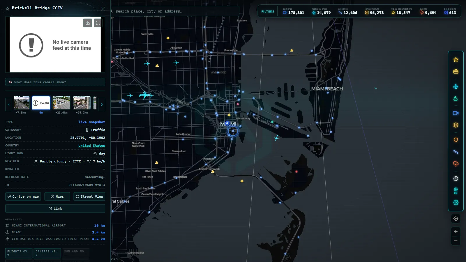
You can watch Florida traffic cameras live, free and without signing up for anything. FL511, the traveler information service of the Florida Department of Transportation (FDOT), openly publishes the largest state network in the United States, and the ARGOS ATLAS map carries around 5,700 live cameras in Florida: FL511's roughly 4,900 plus the state's other public sources, all pinned on a single map. Coverage runs from the interstates to the urban approaches of Miami, Orlando and Tampa.
For anyone living in or visiting Florida, these cameras have double value: the everyday use you would expect in any large metro region (dodging congestion, picking your departure time) and one use that is very much the state's own: seeing with your own eyes the state of the roads when a hurricane approaches.
The essentials, in 20 seconds
- FL511: FDOT's own network of about 4,900 public cameras, the largest state camera source in the US.
- Florida total: around 5,700 live cameras on ARGOS ATLAS (FL511 plus the state's other public sources).
- Four corridors: I-95, I-4, I-75 and Florida's Turnpike carry most of the state's traffic and camera coverage.
- Hurricane season: cameras show the real state of evacuation routes, though part of the network can go offline mid-event.
- Privacy: wide shots only, no plate reading or people identification, unrelated to tolling or enforcement cameras.
FL511: the Florida DOT camera network
FL511 is Florida's version of the 511 system, the national traveler information number in the United States. Since each state runs its own, FDOT has built a complete service around that number: an incident map, roadwork alerts, travel times and, above all, public access to its camera network.
What sets Florida apart is scale. Here are the baseline numbers, straight from the map:
| Scope | Live cameras on the ARGOS ATLAS map |
|---|---|
| FL511 network (FDOT) | About 4,900 |
| Florida in total | Around 5,700 |
| United States | Around 49,000 |
| Worldwide | More than 175,000 |
The table leaves two headlines. First: FL511 is, on its own, the largest state source in the country, ahead of powerful networks like those of Georgia, Texas or California, you can see the full comparison in the guide to traffic cameras in the USA. Second: Florida holds more than one in ten of the American cameras on the map, and that density is no accident. The state combines sprawling metro areas, heavily loaded tourist corridors and a genuine operational need to monitor its road network during weather emergencies. The network is not static either: FDOT expands coverage on the stretches where it detects the most incidents, so the most troublesome corridors also tend to be the best watched.
The key highways: I-95, I-4, I-75 and the Turnpike
Florida's backbone consists of four corridors, and all four are well covered by cameras. This is the mental map worth keeping:
| Corridor | Route | What it carries |
|---|---|---|
| I-95 | Atlantic coast, from Miami toward the north of the state | The spine of the southeastern metro areas and one of the busiest stretches |
| I-4 | Across the center of the state: Tampa, Orlando and the east coast | Commuter traffic plus tourism heading to the theme parks |
| I-75 | Down the Gulf side, then across the south along Alligator Alley | The link between the west coast and the Miami area |
| Florida's Turnpike | The toll road that cuts across the state | Much of the traffic between South and Central Florida |
Read as a whole, the table explains why a single trip can cross two or three of these corridors: driving from Tampa to Miami means combining I-75 or I-4 with the Turnpike, and anyone heading up the east coast lives glued to I-95. The practical habit is always the same: before taking one of these corridors, open the cameras along the stretch you are about to drive and check how it really looks. To interpret what you see correctly (image freshness, camera type, why some feeds look different) it helps to know how traffic cameras work.
From the ARGOS ATLAS channel.
Miami, Orlando and Tampa live
In the three big metro areas, cameras stop being a travel tool and become a daily routine tool. Miami is the most striking case: the map shows an especially high density of cameras, covering the urban expressways, the downtown approaches and the I-95 interchanges. Anyone driving the area every day can build a routine of three or four key cameras and glance at them before leaving; the mechanics of that routine (which cameras to pick, when to check them and how to combine them with other sources) are covered in our guide to local traffic updates.
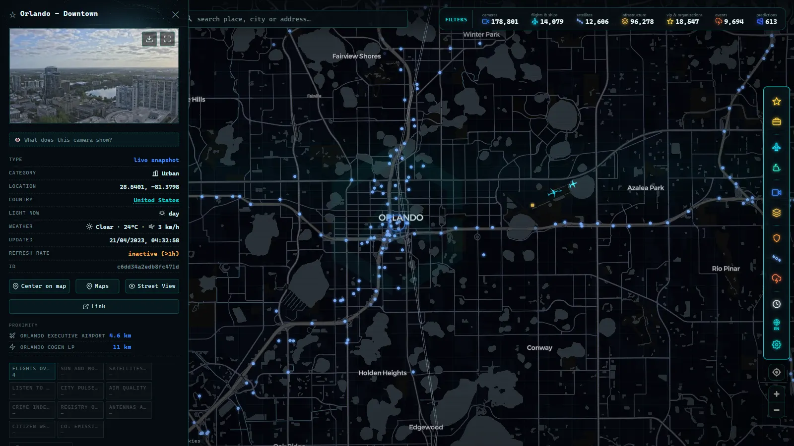
Orlando adds the tourist factor: the corridors toward the parks and the airport concentrate traffic peaks that do not always match classic rush hours. And in Tampa, the cameras on the bridges and approaches are the quick reference for how the bay is doing. In all three cases, the same general guide on watching traffic live applies as it would in any city.
Cameras during hurricane season
Here is the most serious use of Florida's network. When a hurricane or tropical storm approaches, traffic cameras let you see the real state of a road instead of imagining it: whether an evacuation route is flowing or saturated, whether it is already raining hard on a stretch, whether water is pooling on the pavement or whether the wind has forced a bridge closure.
That value has a limit worth knowing: cameras work as long as there is power and communications. At the height of an event, part of the network can go offline, and a downed camera does not necessarily mean the road is closed, there are several reasons why a camera stops working. That is why cameras complement (never replace) official emergency information: the authorities' instructions always come first, and the camera helps you understand the situation on the ground.
A good habit is to calmly prepare, before any warning exists, the list of cameras along your likely evacuation route. When the alert arrives, you already know exactly what to look at and in what order, without depending on last-minute searches while the network is under strain.
How to see them on one map, and what about privacy
FL511 publishes its cameras on its own platform, but if you want to see them alongside those of the rest of the country (or the world) the comfortable route is an aggregator. The ARGOS ATLAS map gathers more than 200,000 live public cameras from across the planet, with Florida's roughly 5,700 (FL511 included) integrated and pinned on the map, so you can jump from I-95 in Miami to any other network without switching platforms. If you drive these corridors often, it is worth saving the map view centered on your area: a single glance covers every interchange you care about.
One final and important clarification: FL511 cameras are informational. They use wide shots of the roadway, they do not identify people or allow plates to be read, and they have nothing to do with electronic tolling or enforcement cameras, which are separate networks. Watching Florida's traffic live is legal, free and privacy-respecting: the camera shows the road, not the people using it.
Frequently asked questions
What is FL511?
FL511 is the official traffic information service of the Florida Department of Transportation (FDOT). It publishes road conditions, incidents and roadworks, and provides public access to the state's traffic camera network, one of the largest in the entire country.
How many traffic cameras does Florida have?
The ARGOS ATLAS map carries around 5,700 live cameras in Florida. The FL511 network alone contributes about 4,900 of them, making it the largest single state source in the United States, with especially dense coverage in the Miami area and along the major interstate corridors.
Can I watch Florida traffic cameras live, free and on a map?
Yes. FL511 publishes its cameras openly, and if you want them all in one place, the ARGOS ATLAS map shows them pinned alongside cameras from the rest of the world. It works in any browser, with no app to install and no account to create.
Do traffic cameras work during a hurricane?
They work as long as there is power and connectivity, which is exactly why they are so useful for seeing the real state of a road before and during the event. Some may go offline if the power fails. In any case, always follow the instructions of the authorities.
Do FL511 cameras record license plates or faces?
No. They are informational cameras with wide shots of the roadway, designed to show traffic flow and pavement conditions. They do not identify people or allow plates to be read, and they are separate networks from tolling or enforcement systems.
- NSW Traffic Cameras: Watch Sydney Live on One Map
- California Traffic Cameras: 6,900 Live, Caltrans and More
- Queensland (QLD) Traffic Cameras: Brisbane Live Map
- Perth Traffic Cameras: Watch WA Freeways Live on One Map
- Texas Traffic Cameras Live: TxDOT on One Free Map
- Madrid traffic cameras: 1,464 public cams live on one map