Blog · Ships & AIS
Ceuta Live Camera: 7 Feeds & Real-Time Ship Traffic
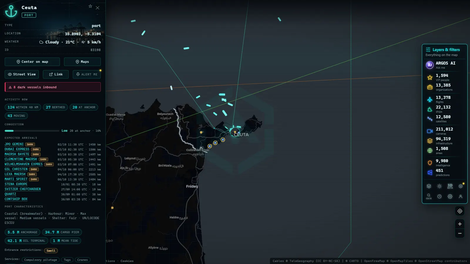
Few places on Earth pack so much into so little water: fourteen kilometres of sea between two continents, one of the busiest shipping lanes on the planet, two major ports, near-permanent wind and a Spanish city on the African shore. The Strait of Gibraltar is probably the most observable corner of Spain, and this summer, with Ceuta back in the headlines, plenty of people want to see it with their own eyes. This guide explains what you can genuinely watch live, what you cannot, and how to get the most out of the map.
The essentials, in 20 seconds
- 14 kilometres: the width of the Strait of Gibraltar, one of the busiest shipping lanes on the planet.
- Ceuta: has half a dozen public cameras showing the port, the city and its seafront.
- Forty cameras: watch the Strait's European shore, spread across Tarifa, Algeciras, the bay and the Gibraltar area.
- 15 June to 15 September: the dates of the Operación Paso del Estrecho, Europe's largest organised passenger movement.
- August 2026: the operation is in its return phase, with the month's final weekends as the peak.
What you can (and cannot) watch live in Ceuta
Let's start with honesty: there are no public cameras on the border fence or the El Tarajal crossing. The border footage circulating these days comes from television and news agencies, not from open webcams. Any site promising a "live border camera" is selling something that does not exist.
What does exist (and is worth your time) is this:
- In Ceuta itself: half a dozen public cameras with views of the port, the city and its seafront (as counted on the map in August 2026).
- Across the Strait: around forty cameras between Tarifa, Algeciras, the bay and the Gibraltar area, mostly still images refreshed every few minutes.
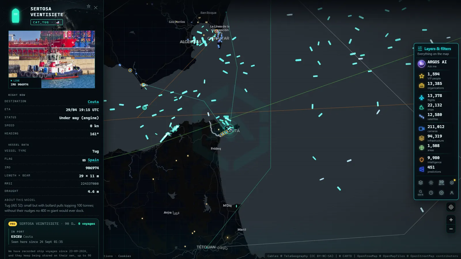
- At sea: the liveliest layer of all. Every ferry, cargo ship and tug crossing the Strait broadcasts its position via AIS and shows up on the map in real time.
The combination is the point: in an area with few cameras, live ship traffic is the main window, and the cameras complement it with real imagery of ports and coastline.
The Strait's ships, live via AIS
The Strait is a two-way maritime motorway with marked lanes, a traffic separation scheme that orders the passage between the Atlantic and the Mediterranean. Open the ship layer over the area and this is what you are looking at:
| Vessel type | How to spot it on the map | What it tells you |
|---|---|---|
| Strait ferries | Short, repeated hops Algeciras–Ceuta and Tarifa–Tangier | Which rotations are running and how often |
| Container ships and freighters | Long east–west tracks along the scheme's lanes | The pulse of trade between two oceans |
| Tankers and gas carriers | Distinct profile; often anchored in the bay, waiting | Algeciras Bay working as a maritime service station |
| Fishing boats and small craft | Short, irregular tracks close to shore | The day's local activity |
| Service vessels (tugs, pilots, rescue) | Sudden port departures, sometimes at speed | Operations under way in the area |
Two of our guides help you read all this properly: what AIS is and how it works and how to follow a specific ship live. And if you see a cluster of motionless vessels in the bay, nothing is wrong: they are at anchor, waiting for a berth, bunkers or cargo.
From the ARGOS ATLAS channel.
The European shore: Tarifa, Algeciras and the bay
The northern side of the Strait holds most of the area's cameras:
- Tarifa is Europe's wind capital, and its beach webcams (built for kitesurfers) double as the best visual gauge of the levante and poniente winds that rule the Strait. They belong to the same network as our Spanish beach webcams guide.
- Algeciras and its bay offer views of one of Europe's largest ports: cranes, berths and the constant come-and-go of ferries and container ships.
- The Gibraltar area completes the panorama, with the Rock as a backdrop and the bay's anchorage always busy.
For road traffic feeding the ports (the other half of any Strait crossing) Spain's DGT traffic cameras cover the A-7 and the approaches to Algeciras and Tarifa.
The Operación Paso del Estrecho, seen from the map
Every summer, from 15 June to 15 September, hundreds of thousands of people cross between Spain and North Africa in Europe's largest organised passenger movement. In August 2026 the operation is deep into its return phase, with the month's final weekends expected to be the peak.
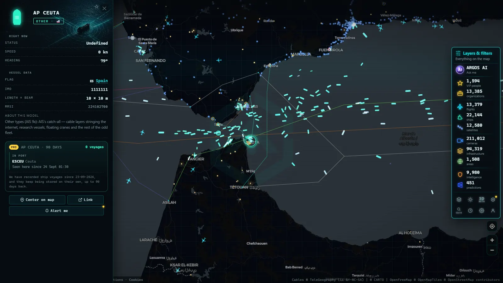
From the map, the OPE needs no press releases: more simultaneous ferry rotations, denser AIS traffic between Algeciras, Tarifa, Ceuta and Tangier, and queues of freighters giving way on the approaches. It makes a great open-data reading exercise: look at the area on a random Tuesday, then on a late-August Saturday, and compare.
Following the news with open sources, responsibly
Ceuta has returned to the headlines this summer because of mass arrivals of people across the border. When a place becomes news, open sources (public cameras, ship traffic, flights) are useful for context and verification, not for the event itself: they help you check what the place actually looks like, what distances are involved, what the weather was, or whether a viral video really shows that coastline.
If that responsible use interests you, we have two dedicated guides: live cameras for journalistic verification and how to geolocate a photo. The golden rule does not change: observing is legitimate; speculating with human lives is not.
The Strait has spent centuries as the place where Europe watches Africa and Africa watches Europe. Now anyone can lean over the railing with open data: open the map, centre it between Tarifa and Ceuta, switch on ships and cameras, and you will have in front of you (live and free) one of the most intense maritime landscapes in the world.
Frequently asked questions
Are there public cameras at the Ceuta border fence (El Tarajal)?
No. The border footage you see on TV comes from news media and agencies, not from open webcams. The public cameras in the area cover traffic, ports and beaches: they show the city and the Strait, not the border perimeter.
Can I watch the Algeciras–Ceuta ferries in real time?
Yes. The Strait ferries broadcast AIS like any commercial vessel, so they appear on the map with live position, heading and speed while crossing. It is the most reliable way to see whether rotations are under way at any given moment.
How many cameras are there in Ceuta and the Strait?
The ARGOS ATLAS map gathers half a dozen public cameras in Ceuta itself and around forty across the Strait area, between Tarifa, Algeciras and Gibraltar (as of August 2026). Fewer cameras than a big city, but the live ship layer more than makes up for it.
Is it free and registration-free?
Yes. Both the public cameras and the AIS ship layer are free to browse with no account, like every other layer on the map.
What is the Operación Paso del Estrecho?
Spain's summer operation that organises the crossing of hundreds of thousands of people between Spain and North Africa, from 15 June to 15 September. In August, during the return phase, the ferry density you see on the map is the highest of the year.
- Strait of Gibraltar crossing operation 2026: watch it live
- MarineTraffic alternatives: what free AIS tracking really does
- Pescara Port Live: 6 Ship Types on the Adriatic AIS
- Malta ship traffic live: what crosses between Sicily and Africa
- Panama Canal Ship Traffic Live: Read Both Queues on the Map
- Argentina Ports Live: Buenos Aires, Rosario, Bahía Blanca