Blog · Ships & AIS
Pescara Port Live: 6 Ship Types on the Adriatic AIS
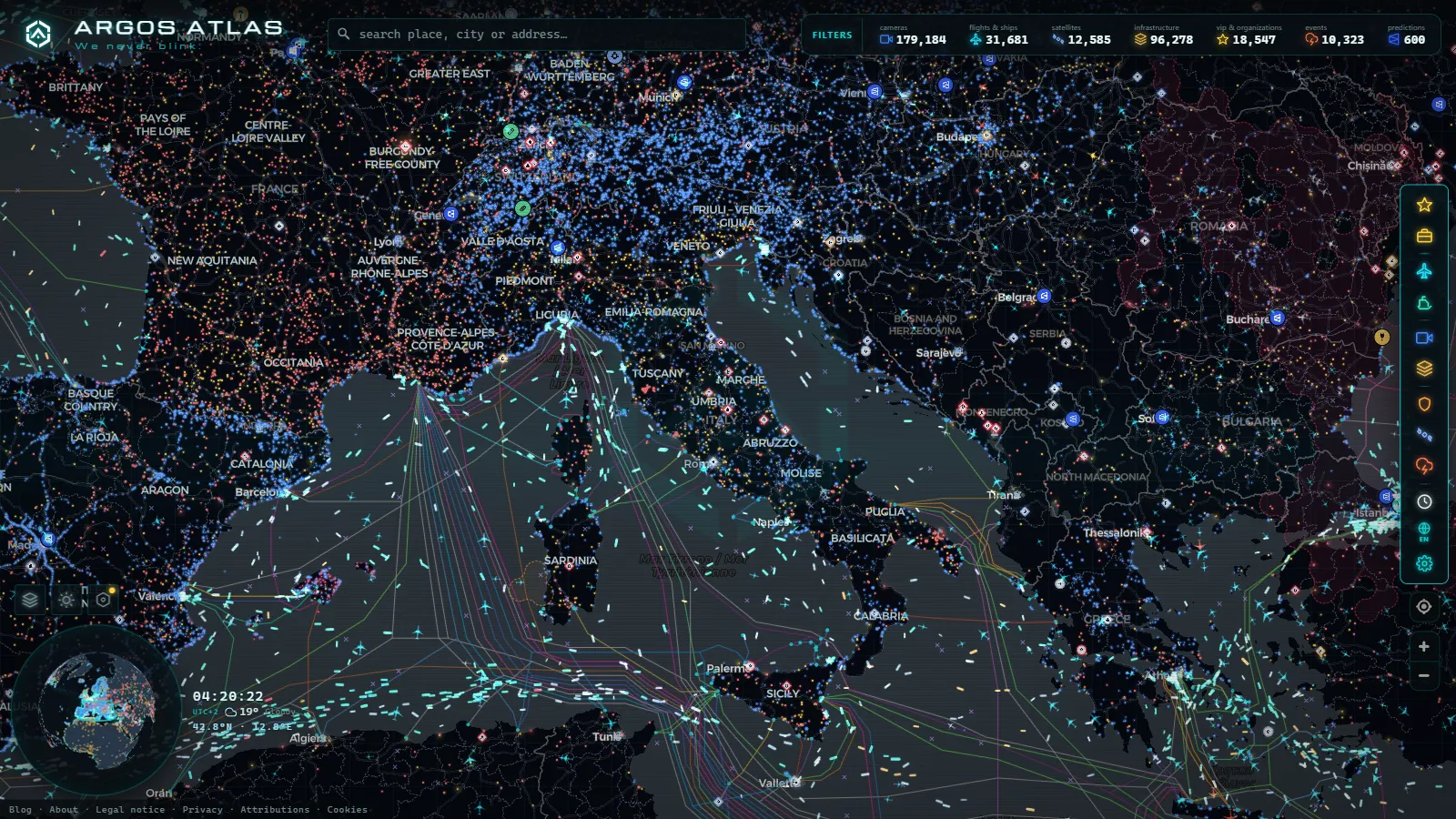
Pescara does not handle containers and it never will. The harbour is the last few hundred metres of a river, a canal cut between two breakwaters on the Abruzzo coast, and the depth at that mouth is the single fact that decides everything you see on the map: fishing boats, yachts, port craft, a seasonal passenger link when the season is running, and nothing much bigger.
That makes it one of the easiest ports in Europe to learn on. In Rotterdam a hundred targets overlap and you cannot tell a berth from a queue. In Pescara you can name almost every vessel on screen, work out what it is doing, and check it against the clock. What follows is what a mid-sized Adriatic passenger and fishing port looks like on open data, and (the part most guides skip) what never shows up at all.
Pescara port live: what is actually on screen
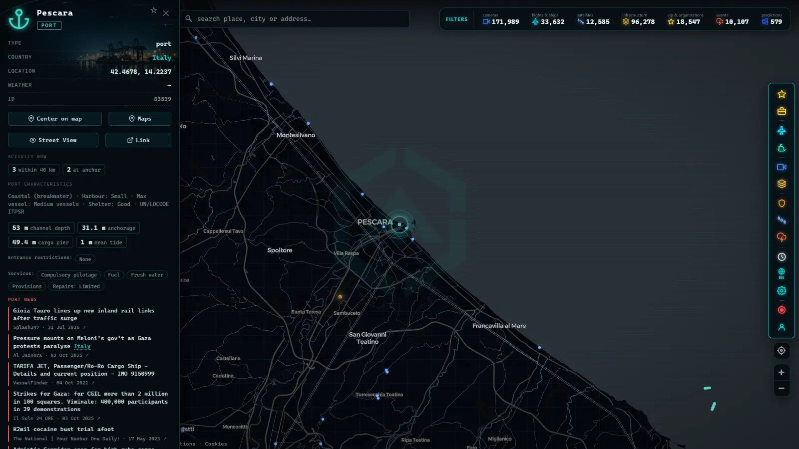
Open the ship layer on the live ARGOS ATLAS map and pan to the Abruzzo coast, around 42.46 N, 14.22 E. The vessel layer is global: 19,542 ships were visible in the most recent live window, out of 29,615 tracked across the whole feed, with 1,081 ports mapped as fixed points worldwide. At continent zoom that is a wall of triangles. At the river mouth it resolves into a handful of icons you can read one by one.
You will normally find three clusters, and telling them apart is the whole skill.
Inside the canal, a line of small targets along the quays, most of them motionless for days. Just outside the pier heads, a scatter of slow tracks doing tight loops or straight runs offshore: that is the fishing fleet working. And several miles out, a steady north to south procession of large cargo ships that have nothing to do with Pescara at all, running the Adriatic corridor between Trieste, Venice, Ancona, Bari and the Ionian.
Most people who look at a port map for the first time count that third group as port traffic. It is not. It is through traffic that happens to pass in front of the city.
The canal harbour, the marina and the fishing quay
The usable water is roughly a kilometre of channel between the sea and the road bridges, with the arch of the Ponte del Mare as the obvious landmark. On the north bank sits Marina di Pescara, one of the larger yacht harbours on this stretch of coast, which is why so many static Class B targets pile up there. On the south bank is the working port: the fishing quay next to the fish market, the coast guard berth, and the apron used by passenger craft when a seasonal service is running.
Silting is the chronic constraint. A river mouth deposits sand, the channel needs dredging to stay usable, and when dredging lags the deeper vessels wait, lighten or simply skip Pescara. You can read that constraint off the map without knowing a single local news story: watch for a week and notice that nothing with a real cargo profile ever crosses the pier heads. The bulk and general cargo for this part of Abruzzo goes to Ortona, a short way down the coast, and to Vasto beyond it. Pescara gets passengers, fish and leisure boating.
That is not a small port failing to be a big one. It is a different job, and the AIS picture reflects it exactly.
Reading AIS in a mid-sized Adriatic port
AIS is a self-reported VHF broadcast: every icon on the screen is a claim the ship is making about itself. In a harbour this small the claims are easy to audit against what you can see. If you want the mechanics of the protocol first, how AIS ship tracking works covers the transponder classes and the message types. Here is the local translation.
| What you see | AIS signature | Typical pattern at Pescara | Honest caveat |
|---|---|---|---|
| Trawlers and small fishing boats | Class B, type Fishing, destination often blank | Out before dawn, back late morning, tight loops offshore | Boats under 15 m are not required to carry AIS, so part of the fleet is simply invisible |
| Marina yachts | Class B, a name but no IMO number | Static for weeks, then weekend hops down the coast or across the Adriatic | Many switch the set off at the berth and reappear only under way |
| Seasonal passenger craft | Class A, type Passenger, destination set to a Croatian port | Summer only, out in the morning, back in the evening | Off season there is nothing at all, and the map carries no schedule |
| Port and service craft | Port tender, Pilot or Tug, short irregular tracks | A few minutes of movement, then silence | Some units broadcast only while working |
| Coast guard and rescue units | Law enforcement or SAR types | Patrols, drills, occasional fast runs offshore | Positions can be withheld or the transponder turned off during an operation |
| Passing cargo ships | Class A, destination Ancona, Bari, Venice, Trieste or Split | Continuous north to south flow, several miles offshore | They never enter Pescara, so do not count them as port activity |
One rule does most of the work: Class A transmits every few seconds under way, Class B every thirty seconds or so. A trawler's track therefore looks like a dotted line with corners cut off, while a passenger vessel's looks like a drawn curve. If you are still unsure what class of hull you are looking at, how to tell cargo ships, tankers and fishing boats apart gives the visual and data cues side by side.
From the ARGOS ATLAS channel.
Pescara port live and the camera problem
This is where honesty matters more than enthusiasm. The public camera catalogue holds 179,184 feeds (count as of September 2026), and they are overwhelmingly road and city networks: motorway operators, regional traffic authorities, municipal cameras. Ports are the worst-covered surfaces in the whole catalogue, everywhere in the world, because quay cameras are private security systems and marina webcams rarely publish an open stream.
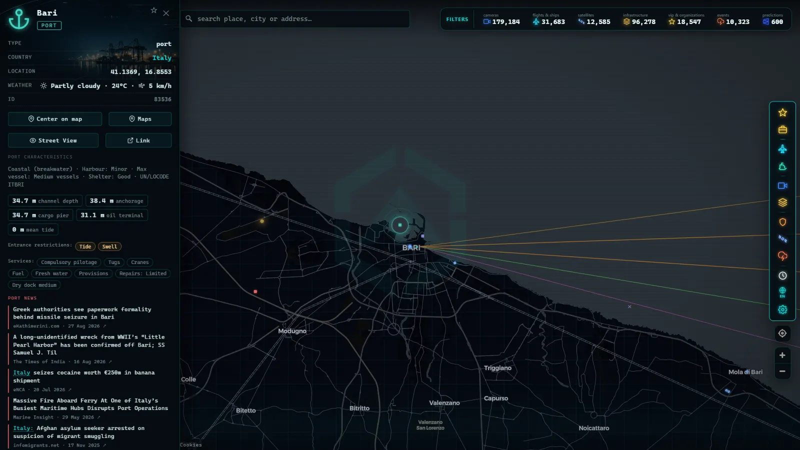
For Pescara that means you should expect cameras on the approach roads rather than a lens pointed down the canal. It is the same pattern documented in Bari traffic cameras, port and airport for the bigger city further south: the roads are watched in detail, the water is not.
Compare that with the one stretch where cameras and AIS genuinely line up. In Ceuta and the Strait of Gibraltar live the strait carries 41 public cameras (count as of September 2026) precisely because a strait is a road problem as much as a shipping one. The central Adriatic has no equivalent density. On this coast the ship layer is the primary source and the cameras are a bonus you should not count on.
Also worth saying plainly: many of the coastal cameras that do exist deliver a still frame refreshed every few minutes rather than video, and after dark most of them are useless for anything on the water.
Pescara port live in three minutes: a repeatable routine
- Open the map, enable the ship layer and zoom to the river mouth until the canal fills the screen. At that zoom the passing offshore traffic falls outside the frame, which is what you want.
- Click each target inside the piers and note three fields: type, speed over ground and time of last report. Speed zero plus a stale timestamp means moored, not present.
- Widen out a few miles and watch the fishing tracks. Loops and slow legs mean working gear; a straight run at steady speed means transit.
- Check the eastbound tracks. Anything Class A leaving the canal towards the Croatian coast is the seasonal passenger link, and its presence is the fastest confirmation that the service is running this month.
- Come back at dawn and at dusk. The fleet works a solar clock, not an office clock, and a single midday look will always make Pescara seem asleep.
That routine takes minutes and it beats any static schedule page, because it observes what is happening instead of what was planned.
What the map will not tell you
Destination fields are typed by a human and go stale. A vessel still showing a port it left three days ago is normal, not a mystery. Cargo descriptions and draught values are equally hand-entered and equally unreliable.
Coverage in the middle of the Adriatic is thinner than along either coast, because terrestrial receivers only reach so far offshore. A track that jumps mid-channel is a receiver gap, not a ship changing course.
And a vessel that goes dark near a small port is almost always a yacht switching off at the pontoon or a small boat that never carried a transponder. Deliberate silence is a real phenomenon, but it belongs to other waters and other trades: why some ships switch off their AIS explains where that behaviour actually concentrates. Pescara is not one of those places.
What you get instead is a port small enough to hold in your head: a river mouth, a marina, a fishing quay, a summer crossing, and a shipping corridor passing offshore that belongs to someone else. Read those five things and you have read the central Adriatic.
Frequently asked questions
Is watching Pescara port live free, and do I need to register?
Yes, it is free and no account is needed. The ship layer, the port markers and the camera catalogue open straight from the map in a browser, with no sign-up, no trial and no per-vessel paywall. The limits are technical (AIS coverage, refresh rate), not commercial.
Does Pescara have a ferry to Croatia?
The link across the central Adriatic has historically been a seasonal fast-craft service, running in summer and absent the rest of the year, so its presence changes from season to season. Do not trust a schedule page you find online: check the AIS instead. If a passenger-type Class A target is sitting at the south quay or crossing eastbound in the morning, the service is running that day.
Why do some fishing boats vanish from the map off Pescara?
Two ordinary reasons before you reach for anything sinister. Small boats under 15 metres are not obliged to carry AIS at all, so a good part of the local fleet was never on the map. And Class B transponders report far less often than Class A and have shorter range, so a boat at the edge of coastal receiver coverage drops out and reappears.
Can I watch the Pescara canal harbour on a live camera?
Not reliably. The public camera catalogue is overwhelmingly road and city networks, and port quays are the worst-covered surfaces in it. Around Pescara you should expect road cameras on the approaches rather than a lens on the water, and any marina or promenade webcam you find is usually a still frame refreshed every few minutes, not video.
How delayed are the ship positions?
Positions arrive from terrestrial receivers within seconds to a couple of minutes when a ship is in range, which covers the whole Pescara harbour area. Mid-channel, between the Italian and Croatian coasts, coverage from land thins and a track can jump: that gap is a receiver gap, not the ship changing course.
- Malta ship traffic live: what crosses between Sicily and Africa
- Panama Canal Ship Traffic Live: Read Both Queues on the Map
- Argentina Ports Live: Buenos Aires, Rosario, Bahía Blanca
- What is AIS: how ships are tracked in real time
- How to track a ship in real time: name, MMSI, and IMO explained
- Dark Vessels: Why Some Ships Turn Off Their AIS Transponder