Blog · Ships & AIS
What is AIS: how ships are tracked in real time
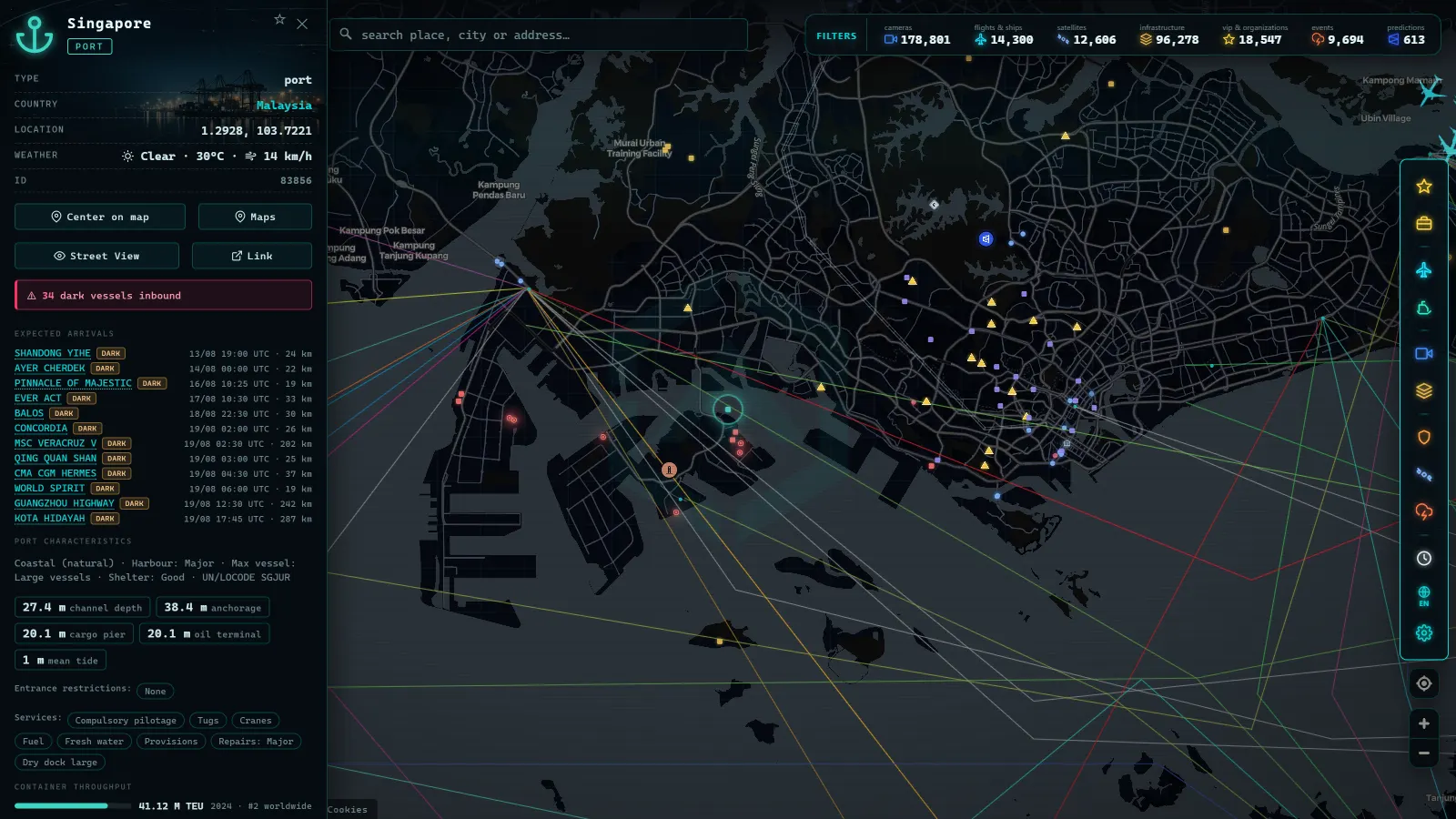
Every moving dot on a live maritime map is a real vessel telling its own story: who it is, where it is, how fast it is moving, and where it says it is headed. The technology that makes this possible is AIS. Understanding what AIS is serves as the master key to reading everything happening at sea from a screen. It is the maritime equivalent of ADS-B in aviation: a system originally designed so that ships could see one another, which along the way opened the ocean to anyone with curiosity and an internet connection.
What AIS is, in one sentence and in depth
AIS (Automatic Identification System) is a system by which vessels continuously and automatically broadcast their identity, position, course, and speed via VHF radio transceivers installed on board.
The key word is "broadcast." AIS is not a private network or an encrypted channel. Each unit transmits its messages on standard maritime VHF frequencies, and any receiver within range -- another vessel, a shore station, an amateur antenna -- can listen. The ship neither knows nor cares who is receiving: its job is to make itself visible.
Technically, transceivers share transmission time using a self-organizing protocol, allowing hundreds of vessels to use the same channels in a congested area without interfering with one another. The practical result: in a busy strait such as the English Channel or the Strait of Malacca, every bridge sees on its displays the identity and movement of all equipped vessels in the vicinity, updated within seconds.
Why AIS was created: fewer collisions, more rescues
AIS was not invented so that you could follow ships from your sofa. It was born as a tool for collision avoidance and maritime safety. Before its arrival, a watch officer saw anonymous radar echoes: they knew there was something three miles away, but not what it was, its name, or its intentions. Coordinating maneuvers by radio with an unnamed echo was slow and error-prone.
AIS changed that. Every echo now has a name, type, dimensions, course, and speed, and onboard systems can compute collision risk from reliable data. The International Maritime Organization (IMO) drove its adoption under the SOLAS convention -- the landmark treaty on the safety of life at sea -- which made it mandatory equipment for a large share of the world fleet.
Beyond preventing collisions, AIS helps authorities manage traffic in congested waters, supports search and rescue operations, and leaves a useful record for incident investigation. It is, in essence, a transparency layer built over the sea.
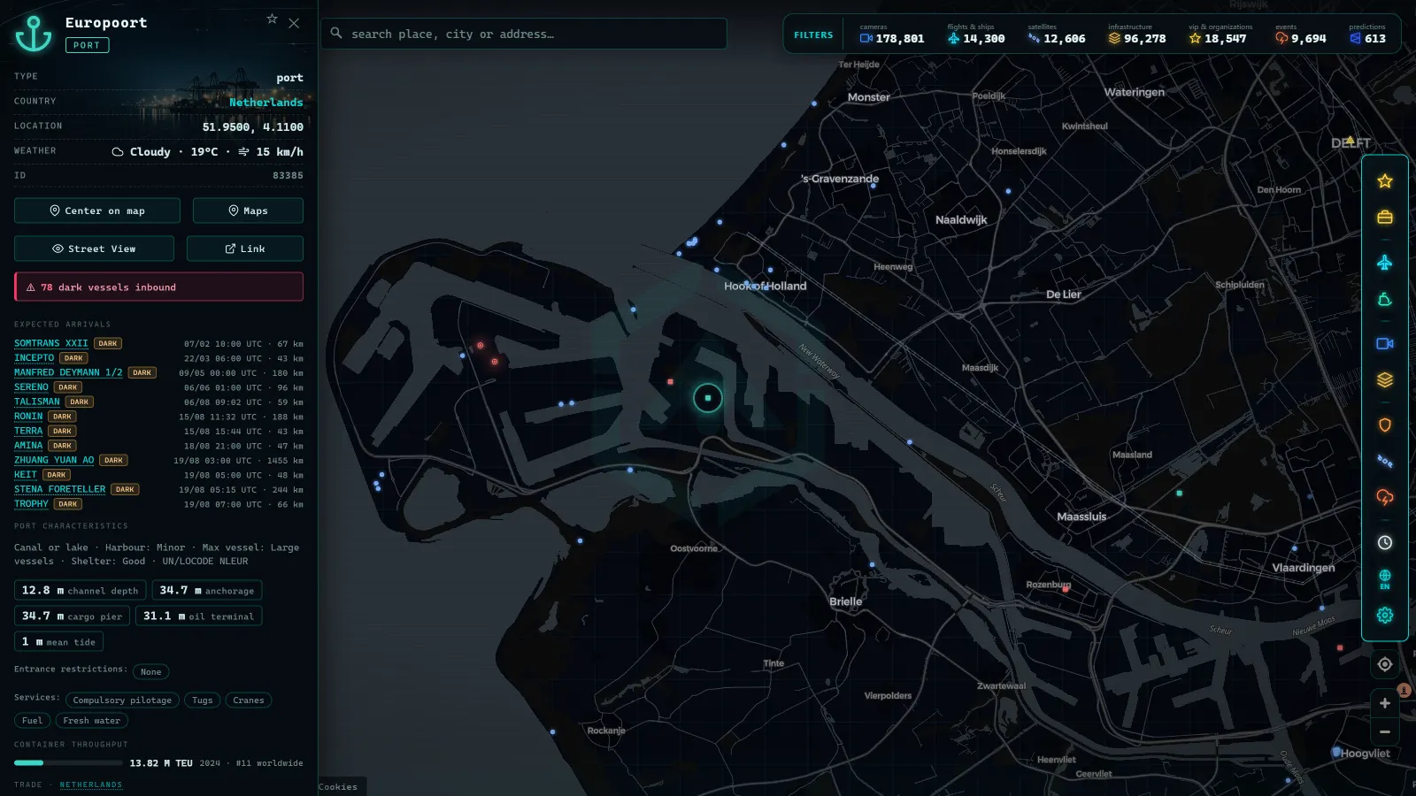
Who is required to carry it
The primary obligation comes from the IMO SOLAS convention and can be summarized as follows:
- Vessels of 300 gross tonnage or more on international voyages.
- All passenger ships, regardless of size.
On top of that international baseline, many countries and regions add their own requirements, extending AIS to cargo ships in domestic trade, fishing vessels above a certain length, or other categories. Then there is voluntary adoption, which is substantial: large numbers of fishing boats and recreational vessels install Class B equipment -- a simpler, lower-power variant -- simply because being visible to a 200-metre bulk carrier is the most effective safety measure available at sea.
The result is that the population of AIS emitters far exceeds the legal minimum, ranging from giant container ships to weekend sailing yachts.
From the ARGOS ATLAS channel.
What data a vessel broadcasts via AIS
AIS messages fall into three families of data. Knowing them makes a significant difference to interpreting what you see on a map.
Static data: who I am
These fields identify the vessel and do not change during the voyage: name, MMSI (the vessel radio station identification number), call sign, dimensions, and vessel type (cargo, tanker, passenger, fishing, recreational...). They are configured when the equipment is installed.
Dynamic data: where I am and how I am moving
This is the heart of the system: position, course, speed, and navigational status (underway, at anchor, moored, not under command...). These fields update continuously, at a rate that depends on the vessel situation. A fast-moving ship transmits every few seconds; one at anchor transmits at much longer intervals.
Voyage data: where I am going
This covers the declared destination, estimated time of arrival, and current draught. Here is the detail that surprises newcomers most: the destination is typed in manually by the crew. It is a free-text field that someone on the bridge enters, complete with personal abbreviations, typos, and occasional omissions. This is why you will sometimes see cryptic destinations, entries left over from the previous voyage, or blank fields. It is not a map error -- it is the human nature of the data.
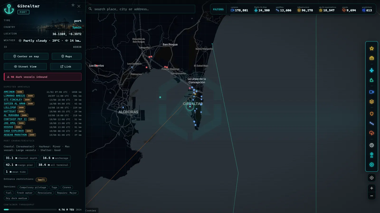
Terrestrial AIS and satellite AIS: two networks, one map
AIS signals travel by VHF radio, whose range is broadly limited to the radio horizon: tens of nautical miles depending on antenna height. That defines two coverage worlds.
Terrestrial AIS relies on receiving antennas positioned along coastlines. It covers ports, straits, and coastal shipping lanes with high detail and frequent updates -- the areas where most traffic and most interest are concentrated. But its reach ends offshore: a vessel crossing the mid-Atlantic or the central Pacific falls beyond the hearing of any coastal antenna.
That is where satellite AIS enters: satellites carrying AIS receivers that listen from orbit to the same signals the vessel keeps broadcasting. They fill the open ocean, with the trade-off that updates depend on orbital passes and are less frequent than those from a coastal antenna with the vessel in direct line of sight.
For anyone looking at a map, the practical consequence is straightforward: close to shore, vessels update almost continuously; in the middle of an ocean, a position may carry a larger time lag. The refresh rate varies by source and area, and accurate map platforms acknowledge this reality rather than hide it.
Who listens and aggregates: the network that makes the map possible
Just as in aviation, between the ship broadcasting and the map you are viewing there is a fascinating intermediate layer: the receivers. Official coastal stations, commercial operators, research institutions, and -- to a very significant extent -- hobbyists running a VHF antenna connected to the internet capture AIS messages in their area and share them with aggregation networks.
This is the same collaborative model that transformed flight tracking: thousands of stations distributed along the world coastlines, each covering its patch of sea, together building a near-global picture of maritime traffic. Aggregation networks combine these feeds with satellite data, deduplicate records, and publish the result.
The final link is visualization. Platforms such as Argos Atlas take AIS positions from open-data sources and plot them on the map, with live vessels organized by category and speed, alongside port layers and the rest of the geographic context. If you want to move from theory to practice and locate a specific vessel, the guide on how to track a ship live explains it step by step, and to tell a bulk carrier from a container ship, the overview of merchant vessel types is the right starting point.
Honest limitations: what AIS does not guarantee
It is worth closing the picture honestly, because AIS is powerful but not infallible.
- It can be switched off. The equipment is under crew control, and although regulations require it to be kept operational, there are situations -- some legitimate, some suspicious -- in which a vessel stops transmitting. The phenomenon of ships disappearing from the map is a topic in its own right, explored in depth in the article on dark vessels and AIS deactivation.
- It can degrade or be manipulated. The data a transceiver broadcasts is only as good as its configuration: incorrect positions, wrongly entered identities, and outdated fields all occur.
- Coverage is not uniform. As described above, the open ocean depends on satellite passes, and some coastal areas have few receiving stations.
None of this diminishes the system value -- it places it in context. AIS provides an extremely broad and largely reliable picture of global maritime traffic, with known gaps that any informed observer learns to account for.
Frequently asked questions
Which vessels are required to carry AIS?
The international obligation comes from the IMO SOLAS convention: vessels of 300 gross tonnage or more on international voyages, and all passenger vessels regardless of size. National and regional regulations extend the requirement to additional categories -- for example, fishing vessels above a certain length in some jurisdictions -- and voluntary adoption is widespread among fishing boats and recreational craft that want to be visible for safety.
Does AIS cover the entire ocean?
Not with a single network. Terrestrial antennas cover coastal waters and port approaches with high-frequency updates, but their VHF range ends tens of miles offshore. In the open ocean, satellites carrying AIS receivers pick up the signals, but with less frequent updates tied to their orbital passes. The complete picture is built by combining both networks.
Are AIS and GPS the same thing?
No, though the confusion is common. GPS -- and other global navigation satellite systems -- exists to tell the vessel where it is. AIS is the system that takes that position and broadcasts it over VHF radio along with the vessel identity and movement, so that other ships and shore stations can receive it. AIS depends on GPS as a position source, but its function is communication, not positioning.
How often does a vessel transmit its position?
It depends on navigational status. A vessel underway at speed broadcasts dynamic data every few seconds, and the interval lengthens when it slows, anchors, or moors. Static and voyage data are transmitted at intervals of several minutes. On the map, the refresh rate you see also depends on the cadence of each receiving source: near the coast you will see near-continuous updates; on the high seas, refreshes are more widely spaced.
AIS in plain terms: what the three letters actually stand for
Searches for just "AIS" are often ambiguous, because the acronym is reused across unrelated fields. In maritime tracking, AIS means Automatic Identification System, the transponder network this article covers. But the same three letters also show up in aviation (Aeronautical Information Service, which publishes airspace and airport data, nothing to do with tracking a vessel) and in medicine (adolescent idiopathic scoliosis). If a result about ships shows up when someone typed just "ais," it is because search engines infer maritime intent from context, not because the acronym itself is exclusive to boats.
| You typed | It usually means |
|---|---|
| AIS | Ambiguous on its own: maritime tracking, aeronautical information, or the medical condition, depending on context |
| AIS barcos | Automatic Identification System applied to ships (barcos), the maritime transponder network |
| AIS ship tracker | A website or app that reads AIS signals and draws them on a map |
| MMSI / IMO number | The identifiers a ship broadcasts inside its AIS message, not AIS itself |
When the intent is clearly maritime (as in "AIS barcos"), what people are usually looking for is not a technical definition but a way to use it: find a specific ship, understand why a vessel is not showing up, or just watch traffic move in a harbor. That practical angle is worth separating from the technical one. AIS is the protocol; a live map is the tool built on top of it. A single ship can be identified through AIS by three separate handles: its MMSI (tied to the transponder), its IMO number (tied to the hull, permanent for the vessel's life), and its call sign (tied to radio licensing). None of these change what AIS is, but confusing them is the most common reason someone searches for a ship and cannot find it: they typed a name that does not match how the vessel actually broadcasts its identity.
For readers who already grasp what AIS is and want to go straight to using it, how to follow a ship live and IMO ship tracking pick up from here.
AIS ships in practice: what a live map actually shows you
When someone searches "AIS" or "AIS barcos" they are usually not after the acronym, they want to see it working: a map with moving vessels they can click on. In practice, an AIS live map is a snapshot of thousands of position reports arriving every few seconds, each one tied to a vessel that is required (or chooses) to broadcast. What you see on screen is never "all ships", it is every ship whose AIS signal reached an antenna or satellite and got relayed to the aggregator behind the map.
The density varies enormously by region, because it follows real traffic corridors, not population. A strait or a major port area concentrates far more simultaneous vessels than open ocean, which is exactly why chokepoints are the most useful place to start when you open a live map for the first time.
| Area | Vessels tracked live |
|---|---|
| Spain | 10,638 |
| Andalusia | 1,234 |
| Canary Islands | 651 |
| Tenerife | 362 |
| Strait of Gibraltar | 40 |
| London (area) | 1,428 |
| Chicago (area) | 1,116 |
| Miami (area) | 942 |
| New York (area) | 1,000 |
Clicking a vessel on a proper AIS map should give you more than a dot: name, MMSI, type (cargo, tanker, fishing, passenger), course, speed and, for many ships, destination and ETA if the crew entered them. That last part is worth a caveat already covered elsewhere on this page: destination and ETA are typed by hand, so treat them as a stated intention, not a guarantee.
If your interest is specifically in identifying a vessel by name or MMSI rather than browsing traffic, IMO ship tracking explains the difference between the two identifiers and when each one is more reliable. And if you are comparing AIS map providers before picking one to use daily, this comparison of MarineTraffic alternatives lays out what actually differs between them beyond the interface skin.
Conclusion
AIS is one of those unobtrusive systems that hold the modern world together. It was created so that vessels would stop being anonymous echoes on a radar screen, and in doing so it turned the ocean into a legible space for anyone. Knowing what AIS is -- what it broadcasts, who carries it, where it reaches and where it does not -- transforms a map full of moving dots into a narrative: container ships on passage, ferries on their runs, fishing boats working their grounds, all announcing themselves so as not to collide.
The best way to absorb this is to see it in action: open the Argos Atlas map and watch the live vessels along your nearest coast, with their categories and speeds. Every moving dot is a VHF transceiver doing exactly what you just read about.
Frequently asked questions
Which vessels are required to carry AIS?
Under the IMO SOLAS convention, AIS is mandatory for vessels of 300 gross tonnage or more on international voyages and all passenger ships of any size. Many national and regional regulations extend the requirement to other vessel types, and large numbers of fishing boats and recreational craft install it voluntarily for safety.
Does AIS cover the entire ocean?
Terrestrial AIS is limited by the range of coastal antennas, so vessels in the open ocean disappear from land-based networks. Satellites equipped with AIS receivers fill that gap, though with less frequent position updates. Full coverage is the combined result of both networks.
Are AIS and GPS the same thing?
No. GPS and other global navigation satellite systems tell the vessel where it is; AIS is the system that broadcasts that position over VHF radio so other vessels and shore stations can receive it. AIS relies on GPS for its position input, but they are distinct technologies with different functions.
How often does a vessel transmit its position?
It depends on the vessel status. A ship underway at speed transmits dynamic data every few seconds, while one at anchor or moored transmits at much longer intervals. Static and voyage data are sent every few minutes. The update rate you see on a map also depends on the refresh cadence of each receiving source.
- Straits and Canals: The Chokepoints of World Trade
- Anchored Ship: See Which Vessels Are Waiting Right Now
- Live Ships in the Caribbean Sea: Cruise Liners, Container Ships and Island Traffic
- Live Ships in the South Pacific: Routes Connecting Chile, Peru and Ecuador to Asia
- Live Ships in the Mediterranean Sea: Ferries, Cruise Liners and Container Ships
- Live Ships in the Strait of Malacca, the World's Busiest Shipping Lane