Blog · Traffic cameras
Washington State Traffic Cameras: I-5, 3 Passes and Ferries
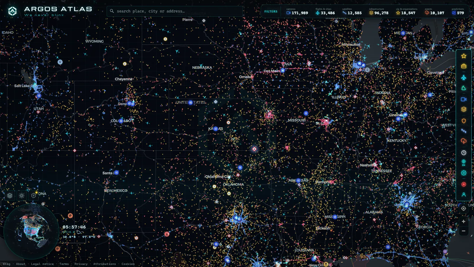
Search for washington state traffic cameras in July and you probably want I-5 through downtown Seattle. Search for the same thing in January and you want one very specific answer: whether Snoqualmie Pass is open, and what the pavement looks like at the summit right this minute. Those are two different jobs, and most camera directories only do the first one properly.
This is Washington the state, in the far northwest corner of the United States, not Washington DC. The network is run by WSDOT, the state transport department, and it covers three things that behave in completely different ways: the I-5 spine from the Canadian border down to the Columbia River, the Cascade passes that cut the state in half, and the Puget Sound ferry terminals. On the live map of public cameras worldwide all three sit in the same layer as everything else we carry, 200,000+ cameras (count as of September 2026), so you can jump from a pass summit to a ferry dock without changing site or opening a second tab.
What Washington state traffic cameras actually show
Almost all of them are still images, not video. A frame is captured and republished on a cycle, and the cycle is not identical across the network: some urban sites feel close to live, some rural sites go minutes between updates, and a few sit on a stale frame for hours without saying so. There is no public pan, tilt or zoom, even where the hardware can do it, and there is no audio. Resolution is deliberately modest, which is why these feeds are useful for judging a road and useless for reading a plate or recognising a face.
It also helps to know that "Washington cameras" is not one network. WSDOT runs the statewide highway sites. The city of Seattle runs its own downtown and arterial cameras. The ferry terminals are their own family again, pointed at holding lanes rather than at traffic lanes. Different owners means different refresh rates, different uptime and different failure modes, so when one group goes dark the others usually keep working. If a marker you rely on stops updating, the causes are boringly predictable and worth knowing in advance: why a traffic camera stops working covers the maintenance, power and rerouting cases.
The I-5 corridor: Blaine, Seattle, Tacoma and the two Vancouvers
I-5 is the only continuous north to south interstate in the state, and everything else is a variation on it. It enters at Blaine on the Canadian border, runs down past Bellingham and Everett, threads through Seattle, crosses Tacoma and Olympia, and leaves at Vancouver, Washington, on the Columbia River opposite Portland. Worth stating plainly because it catches people out: the Vancouver at the south end of I-5 is in Washington, and the Vancouver most readers picture is in British Columbia, north of the border and reached by the other end of the same road.
The Seattle squeeze is the part people watch. The Ship Canal Bridge north of downtown is the classic bottleneck, and just below it the reversible express lanes flip direction according to the time of day. That is the single best trick on this network: rather than looking up the express lane schedule, open a camera on that stretch and see which way the vehicles are pointing. The image answers the question faster than any timetable.
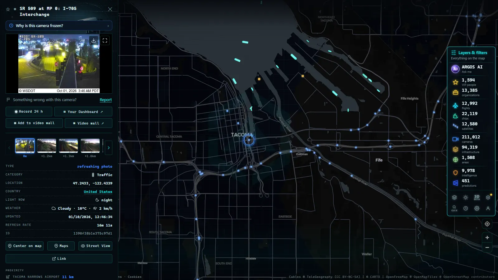
South of the city the pattern repeats. The stretch of I-5 past Joint Base Lewis-McChord between Tacoma and Olympia backs up on its own schedule, driven by base traffic rather than by the city. Crossing Lake Washington you choose between the I-90 and SR 520 floating bridges, and SR 520 is tolled, so the camera on one tells you whether paying is worth it. West of Tacoma, SR 16 and the Tacoma Narrows Bridge carry everything heading to the Kitsap Peninsula. For the wider picture of how this state fits into the national network, see the guide to traffic cameras across the United States.
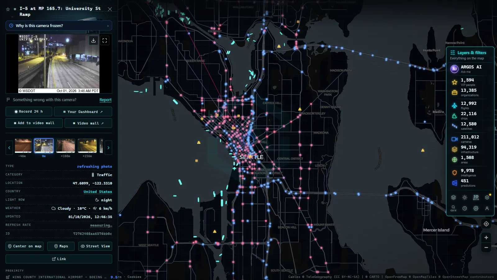
Washington state traffic cameras on the Cascade passes
Here is the part that justifies the whole network. On a dry August afternoon a highway camera is a curiosity. On a December morning at a Cascade summit it is the difference between leaving and not leaving, because the Cascades split the state into a wet, mild west side and a cold, dry east side, and the passes are the only ways through.
Three of them carry most of the traffic and most of the searches. Snoqualmie Pass on I-90 is the main one, the interstate crossing between Seattle and Ellensburg, Spokane and everything east. Stevens Pass on US 2 runs from the Everett area over to Leavenworth and Wenatchee, narrower and more exposed. White Pass on US 12 crosses south of Mount Rainier towards Yakima. Behind them sit the secondary crossings, Blewett on US 97 and the North Cascades Highway on SR 20, and that last one matters for a different reason: it closes for the winter entirely, so there is no road condition to report for months.
| Pass | Route | Connects | Why the camera gets checked | What it will not tell you |
|---|---|---|---|---|
| Snoqualmie | I-90 | Seattle to Ellensburg and Spokane | Interstate traffic, avalanche control closures announced at short notice | Whether chains are legally required at that moment |
| Stevens | US 2 | Everett area to Leavenworth and Wenatchee | Narrow profile, ski traffic, drifting snow | Conditions on the approach grades, several miles either side |
| White | US 12 | South of Mount Rainier to Yakima | Fewer alternatives if it closes, long detour | Whether a plow has been through since the frame was captured |
| North Cascades | SR 20 | Northern crossing, seasonal only | Reopening in spring | Nothing useful while the road is gated shut |
What you are reading in a pass image is texture, not text. Black pavement with visible lane markings is one story, uniform white is another, and a wet shine at freezing temperatures is the worst of the three. Look for the plow berms at the shoulder, for whether the snow stakes are still legible, and for whether the lens itself is fogged or iced. The general method transfers to any range: our guide to cameras on mountain passes and how to read snow on the road goes through it in detail. Northbound travellers should note that the same discipline applies once you cross the border, where a separate agency publishes its own feeds, covered in the guide to traffic cameras in Canada.
From the ARGOS ATLAS channel.
Puget Sound ferries: read the holding lanes, not the water
Washington State Ferries is part of WSDOT, which is why its cameras behave like highway cameras. The routes that matter are Seattle to Bainbridge Island and Bremerton, Edmonds to Kingston, Mukilteo to Clinton on Whidbey Island, Fauntleroy across to Vashon and Southworth, Point Defiance to Tahlequah, Port Townsend to Coupeville, and Anacortes out to the San Juan Islands.
The useful camera at a terminal is not the one pointed at the water. It is the one pointed at the vehicle holding lanes, because how many lanes are full is a direct read on whether you will make the next sailing or wait for the one after. That single frame replaces a lot of guessing.
The vessels themselves are a separate signal. Ferries broadcast AIS like any other commercial ship, so they show up on the vessel layer of the map as moving points with a heading and a speed, and the map carries 20,883 vessels reporting at the time of writing. If a terminal camera is down but the boat is visibly mid-crossing, you still know the route is running. The mechanics of that are explained in how AIS tracks ships in real time.
What Washington state traffic cameras cannot tell you
This is the honest list, and it is short but it costs people trips.
Chain and traction tire requirements are a legal restriction published as text, not something visible in a frame. A summit that looks clear can still be under a chain law, and driving past that assumption is how people end up ticketed or stuck. At night most mountain sites have no illumination at all, so the honest output is a black rectangle. During a storm the lens ices over precisely when the image matters most. Timestamps are not always trustworthy: some feeds keep serving the last frame they managed to capture without flagging it as old.
A camera is also a point sample. A clean picture at the summit says nothing about the runout a few miles down the grade, which is where the trouble usually is. And on the ferry side, terminal cameras will not show you a sailing cancelled for crewing, and they will not show reservation availability on the routes that use it. Knowing which body actually published a given feed is part of judging it, which is the subject of how to tell whether a webcam is official.
How the Washington network compares with other public camera systems
We do not publish a per-state camera count for Washington, so the honest description is several hundred visible sites arriving through the state feed, weighted towards the I-5 corridor and the passes, rather than a round number we cannot back up. For scale, here are networks where we do count the cameras individually.
| Network | Cameras (count as of August 2026) | Coverage |
|---|---|---|
| Illinois DOT | 2,157 | Chicago metro and state highways |
| New York 511 | 1,871 | New York state highways |
| Ontario 511 | 1,660 | Ontario provincial highways |
| Spain DGT | 1,948 | Spanish national road network |
| London TfL JamCams | 804 | Greater London arterials |
A two minute winter routine that works
- Read the pass report text first. Open, closed, chains required, traction tires advised. That is the decision.
- Then open the summit camera to confirm the text against what the road looks like.
- Then check one camera on each approach, west and east. Conditions on the two sides of a Cascade pass are routinely different.
- Check an I-5 or I-90 camera near where you are leaving from, because urban congestion decides your arrival time at the pass.
- Re-check five to ten minutes before you actually leave. Avalanche control closures are announced with very little notice and reopen the same way.
Finding the right feed: highway map, pass report, ferry and port terminals
"Washington traffic cameras" actually points to four separate systems, and searching the wrong one wastes time. Here is what each term means and where it lives.
| What you typed | What it actually is | Who runs it |
|---|---|---|
| Washington state cameras map / washington highway cameras | The statewide grid of roadside cameras on freeways and arterials | WSDOT |
| WA pass cameras / washington state mountain pass cameras / washington pass report cameras / WSDOT I-90 cameras | The Mountain Pass Report: camera thumbnails bundled with text conditions (chains required, traction advisory, closures) for each named pass | WSDOT, as a separate tool from the general highway map |
| WSF cameras Clinton | The holding lane camera at the Clinton terminal, on the Whidbey Island end of the Mukilteo-Clinton run | Washington State Ferries |
| Husky Terminal camera | A container dock camera at the Port of Tacoma, aimed at berths and cranes for shipping operations | The port authority, not WSDOT |
The distinction that trips people up most is the pass report versus the highway map. A general traffic camera shows you a stretch of road right now. The Mountain Pass Report is built around a question the map doesn't answer: is this specific pass safe to cross today. For I-90 over Snoqualmie, US 2 over Stevens Pass, US 12 over White Pass or WA-20 over the North Cascades (closed every winter), the report pairs each camera with a text line on surface condition and required traction gear. If you only pull the image and skip the text, you're missing half of what the page exists for, since a camera frame taken at night or in fog can look clear while the posted condition says otherwise.
Husky Terminal is a different kind of mistake: it has nothing to do with road traffic. It is one of several marine terminal cameras run by port authorities to watch vessel berthing and crane operations at the Port of Tacoma, which is also why it won't appear on any WSDOT page no matter how you search. If what you actually want is ship movement in Puget Sound rather than a static dock view, that is a maritime tracking question, not a traffic camera one.
"Live traffic cameras" as a bare search usually means the visitor wants one page that refreshes continuously without picking a specific highway first. That is the highway map's job, not the pass report's: the pass report is organized by named pass, while the general map is organized by geography, so start on the map if you don't already know which corridor you need.
For how other states structure the same split between a general highway map and a mountain-specific pass tool, see our guide to Oregon's traffic cameras.
Frequently asked questions
Are Washington state traffic cameras free to watch, and do I need an account?
Yes, they are free and no registration is needed. WSDOT publishes them as public traveler information, and our map shows them alongside the rest of the world's public cameras with no login, no email and no trial. Open the map, zoom to the state, click a marker.
Is a Snoqualmie Pass camera enough to know whether chains are required?
No. Chain and traction tire requirements are a legal restriction published as text in the pass report, not something you can read off an image. The camera tells you what the pavement looks like at that exact point. Check the restriction text first, then use the camera to sanity check it.
Why is a WSDOT camera showing a black rectangle or an image from an hour ago?
Three usual causes: it is night and that stretch has no lighting, snow or ice has covered the lens, or the site has lost its connection and the last good frame is being served stale. Mountain sites fail more often than urban ones, and in a storm they fail exactly when you need them.
Can I see the ferries themselves, or only the terminals?
Both, but from different sources. Terminal cameras show the holding lanes on land. The vessels are visible because they broadcast AIS, so they appear on the ship layer of the map as moving points with a heading and a speed, independently of whether the terminal camera is working.
Do the North Cascades Highway cameras work in winter?
The highway itself closes seasonally, so there is nothing to report on the closed section. Cameras near the gates may still be up, but a clear image there does not mean the route is passable. Treat a working camera on a closed road as scenery, not as a traffic decision.
- 511PA Traffic Cameras: I-76 and the 4 Turnpike Tunnels
- Nevada Traffic Cameras Live: I-15, I-80 and Sierra Passes
- Oregon Traffic Cameras on TripCheck: I-5, 3 Passes, US-101
- DriveBC Traffic Cameras: British Columbia's 5 Mountain Passes
- Finland Traffic Cameras: Fintraffic, Digitraffic and Lapland
- Sweden Traffic Cameras: Trafikverket Roads, Corridor by Corridor