Blog · Traffic cameras
Live Traffic Cameras in Canada: Ontario 511, DriveBC, and Quebec 511
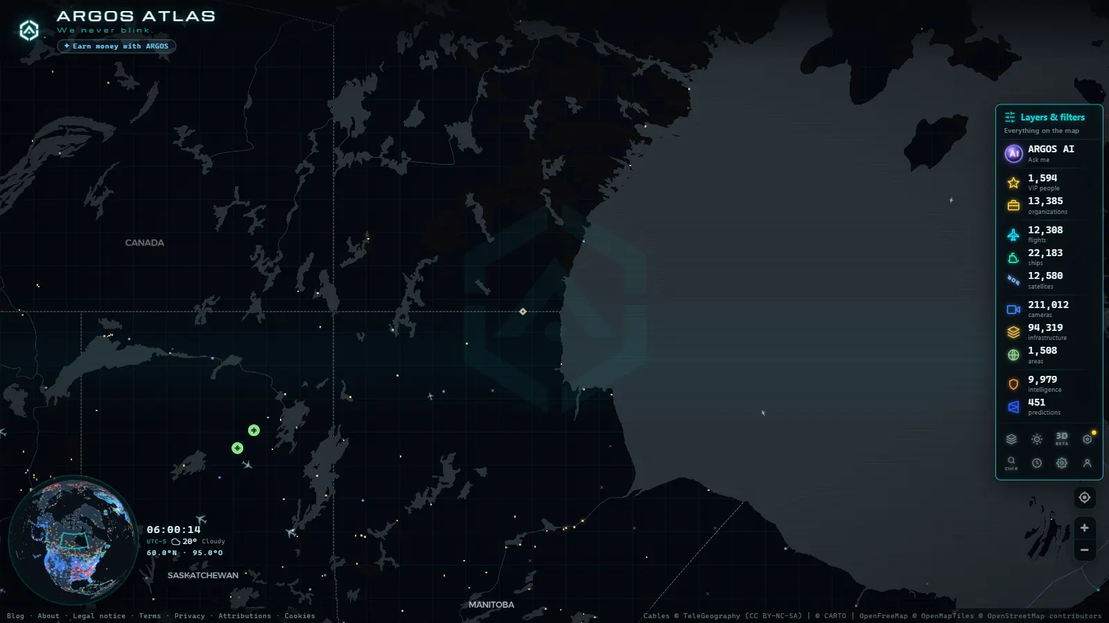
Canada is a country of vast distances and extreme climates. From the snow-covered passes of the Rockies to the industrial corridors of Ontario and the bilingual highways of Quebec, monitoring road conditions in real time is not a luxury, it is a practical necessity for drivers, freight carriers, and travellers. Public traffic cameras allow people to anticipate closures, snowstorms, accidents, and congestion before leaving home.
This article covers Canada's main traffic camera systems: Ontario 511, DriveBC in British Columbia, and the Quebec 511 portal, as well as the special winter conditions along the Trans-Canada Highway. Throughout, you will see how ARGOS ATLAS brings these sources together so you can check everything from a single interactive map.
Ontario 511: Canada's Largest System by Population Served
Ontario is Canada's most populous province and home to some of the busiest road corridors on the continent. Highway 401 (often called the busiest highway in North America) runs from Windsor to the Quebec border and handles millions of trips every week.
The Ontario 511 portal (511on.ca) aggregates traffic cameras deployed on:
- Highway 400 (northern corridor to cottage country)
- Highway 401 (main east-west axis through Toronto, London, and Kingston)
- Highway 417 (Ottawa corridor heading east)
- GTHA corridors (Greater Toronto and Hamilton Area)
How to Use Ontario 511
The platform allows filtering by incident type: accidents, road work, lane closures, and surface conditions. In winter, black ice reports and snow accumulation updates are refreshed every few hours through embedded road sensors.
"Before driving the 401 in winter, checking Ontario 511 should be as routine as looking at the weather forecast."
The system is also available by phone: dialling 511 from anywhere in Ontario connects you to automated road condition reports, making it accessible even without mobile data.
System Limitations
The cameras do not cover municipal roads or local streets. For Toronto, Hamilton, or Ottawa, municipal portals (such as the City of Toronto's own traffic dashboard) complement provincial coverage.
DriveBC: British Columbia and the Mountain Passes
British Columbia presents a geography radically different from Ontario. The Rockies, the Coast Mountain Range, and numerous high-altitude passes make BC's road network one of the most complex in North America. A closure on the Coquihalla Highway can cut access between Vancouver and the interior within minutes.
DriveBC (drivebc.ca) is the official system of the BC Ministry of Transportation and covers:
- Coquihalla Highway (Hope to Kamloops)
- Trans-Canada Highway in BC (from Kicking Horse Pass westward)
- Sea-to-Sky Highway (Vancouver to Whistler)
- Highway 3 (Crowsnest Corridor, Alberta border)
- Interior routes to Kelowna, Penticton, and Prince George
Real-Time Conditions and Winter Alerts
DriveBC integrates far more than cameras. It also provides:
- Avalanche alerts on specific passes
- Chain or winter tyre requirements with hour-by-hour validity
- Active chain-up zones for freight trucks
- Wind closure status for Fraser Canyon bridges
The Coquihalla cameras are especially valuable because this corridor can accumulate more than a metre of snow in 24 hours during winter storms. Camera images let you assess whether the pass is open and under what conditions before committing to the journey.
Seasonal Routes in BC
Some secondary routes in BC are accessible only in summer. DriveBC records the opening and closing dates of these routes, critical information for travellers planning trips through the province's interior or northern regions.
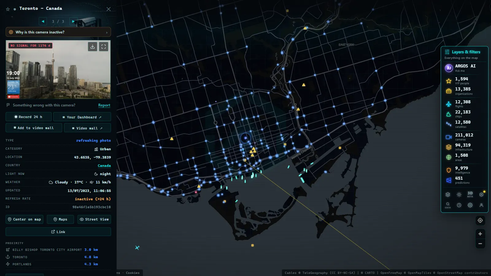
Quebec 511: Canada's Most Complete Bilingual Portal
Quebec has an extensive road network and a cultural distinction that sets it apart: it operates in both French and English, with a fully bilingual portal that serves both French-speaking residents and English-speaking travellers entering from Ontario or the United States.
Quebec 511 (quebec511.info) covers:
- Highway 20 (Montreal to Quebec City corridor heading east)
- Highway 40 (north shore of the St. Lawrence River, parallel to the 20)
- Highway 15 (corridor to the US border toward Vermont)
- Highway 10 (access to the Eastern Townships)
- Montreal bridges: Champlain, Jacques-Cartier, and Mercier
Winter Conditions in Quebec
Quebec experiences long winters with significant snowfall. The 511 portal integrates:
- Roadway clearing status (clear, partially covered, covered with packed snow)
- Reduced visibility reports during blizzards
- Bridge closure alerts due to wind
- Conditions in the St. Lawrence River tunnels under Montreal
Quebec's highways are maintained to high winter standards, but intense storms can significantly reduce road capacity. Checking cameras before a long trip (especially between Montreal and Quebec City in winter) allows drivers to adjust departure times or choose alternate routes.
From the ARGOS ATLAS channel.
The Trans-Canada Highway: 7,800 km of Contrasts
The Trans-Canada Highway is the world's longest paved national highway, stretching 7,821 kilometres from Victoria, British Columbia, to St. John's, Newfoundland. It crosses ten provinces and multiple climate zones, making it a unique case study in road monitoring.
Provincial Systems Along the Trans-Canada
There is no single national portal for the Trans-Canada. Monitoring is distributed across provincial systems:
- BC: DriveBC (mountain passes, Rocky Mountain conditions)
- Alberta: Alberta 511 (prairies and Banff and Jasper national parks)
- Saskatchewan and Manitoba: provincial portals with basic coverage
- Ontario: Ontario 511 (northern corridor along Lake Superior)
- Quebec: Quebec 511 (from the Ontario border to New Brunswick)
- Atlantic provinces: dedicated systems for New Brunswick, Nova Scotia, PEI, and Newfoundland
Critical Winter Sections
The most challenging segments of the Trans-Canada in winter include:
- Kicking Horse Pass (BC/Alberta): elevation 1,647 m, frequent fog, and rapid snow accumulation
- Lake Superior Corridor (Ontario): intense crosswinds and lake-effect snowfall
- New Brunswick to Nova Scotia stretch: Atlantic storms with freezing rain
Each of these segments has camera coverage through the corresponding provincial system.
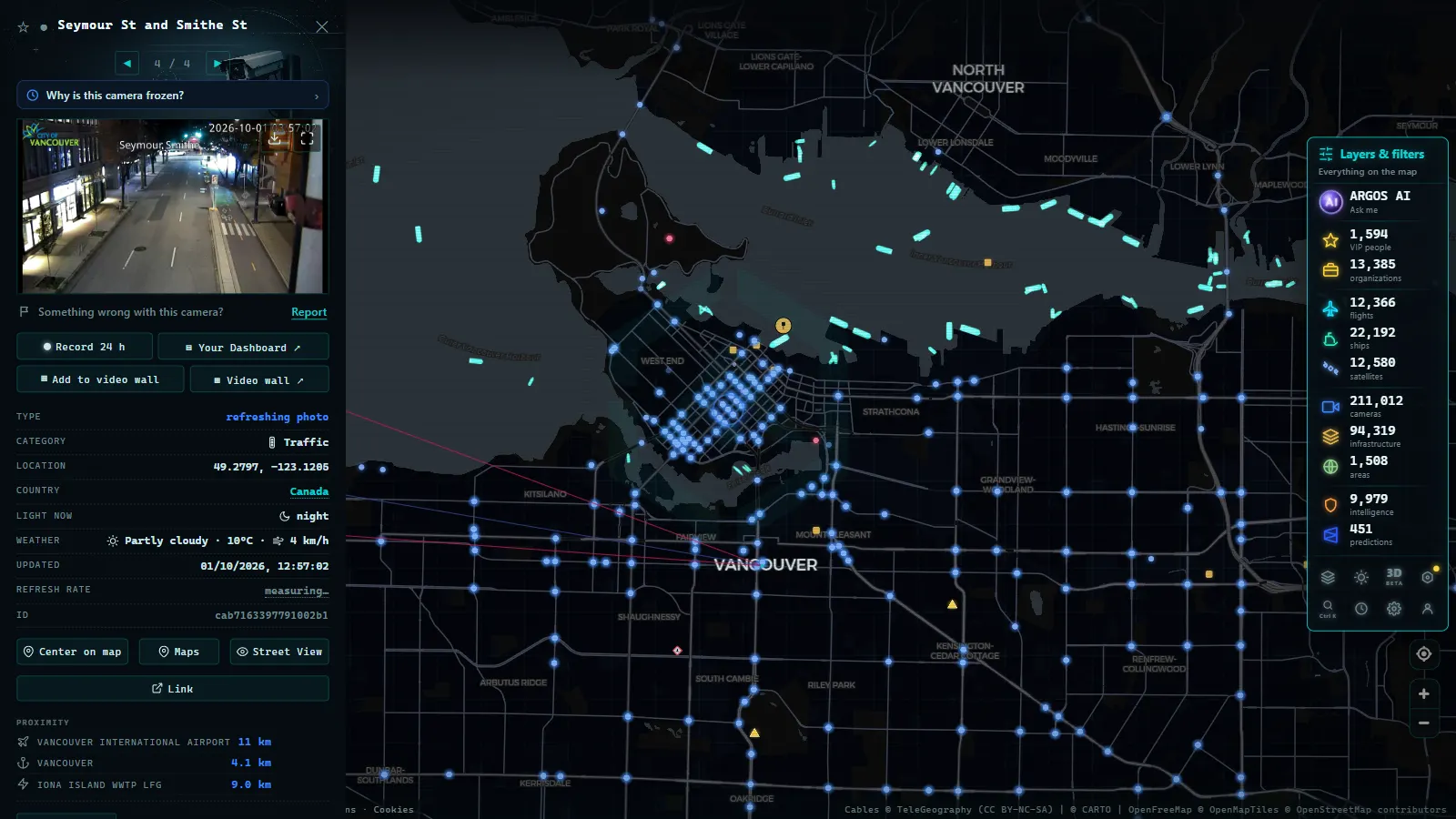
How ARGOS ATLAS Integrates Canadian Traffic Cameras
ARGOS ATLAS consolidates traffic camera sources from multiple countries (including Canada's main corridors) into a single interactive map. From the interface you can:
- Activate the traffic cameras layer and navigate to the region you want to check
- View real-time images without switching between provincial portals
- Cross-reference the data with flight and ship layers to understand regional logistics movement
- Access everything from a mobile device without installing separate apps
For a freight driver running the Ontario-Quebec corridor, a traveller planning to cross the Rockies via the Trans-Canada, or a travel planner assessing road access between provinces, having all cameras in one place reduces lookup time and improves decision-making.
If you want to explore how traffic camera systems work in other parts of the world, see our articles on traffic cameras in New York and traffic cameras in Europe.
Conclusion
Canada has sophisticated, freely accessible road monitoring systems. Ontario 511, DriveBC, and Quebec 511 cover the country's most critical corridors with real-time cameras, adverse condition alerts, and incident data. The Trans-Canada Highway, spanning ten provinces, requires consulting multiple sources, or using a tool that integrates them all.
ARGOS ATLAS provides exactly that integration: a single map where Canadian traffic cameras coexist with flight, ship, and infrastructure data, available at any time directly in your browser.
Frequently asked questions
What is Ontario 511 and how does it work?
Ontario 511 is the official portal of the Ontario Ministry of Transportation. It aggregates real-time traffic cameras, incident reports, and road conditions on provincial highways such as the 400, 401, and 417. It is accessible via web or by calling 511 from anywhere in Ontario.
Does DriveBC cover only highways or secondary routes as well?
DriveBC covers highways, provincial routes, and mountain passes in British Columbia, including the Coquihalla Highway and interior routes. It incorporates cameras, avalanche alerts, and snow conditions, making it essential for winter travel planning.
Is the Quebec 511 portal available in English?
Yes. Quebec 511 is fully bilingual (French and English) and is one of the most complete road portals in Canada, with cameras on highways 20, 40, 15, and major corridors toward Ontario and the United States.
- Live Traffic Cameras in Australia: Transport for NSW, VicRoads, Queensland TMC and More
- Traffic Cameras in New Zealand: Waka Kotahi NZTA, Auckland, Wellington and Alpine Passes
- Live Traffic Cameras in Belgium: Wallonie, Vlaanderen and the Brussels Ring
- Live Traffic Cameras in Japan: NEXCO Expressways, National Police Agency and Road Sensors
- Traffic Cameras in the Netherlands: Rijkswaterstaat, A1, A2, A4 and the Amsterdam and Rotterdam Networks
- Live Traffic Cameras in Portugal: Brisa, Infraestruturas de Portugal and the A1 Motorway