Blog · Traffic cameras
DriveBC Traffic Cameras: British Columbia's 5 Mountain Passes
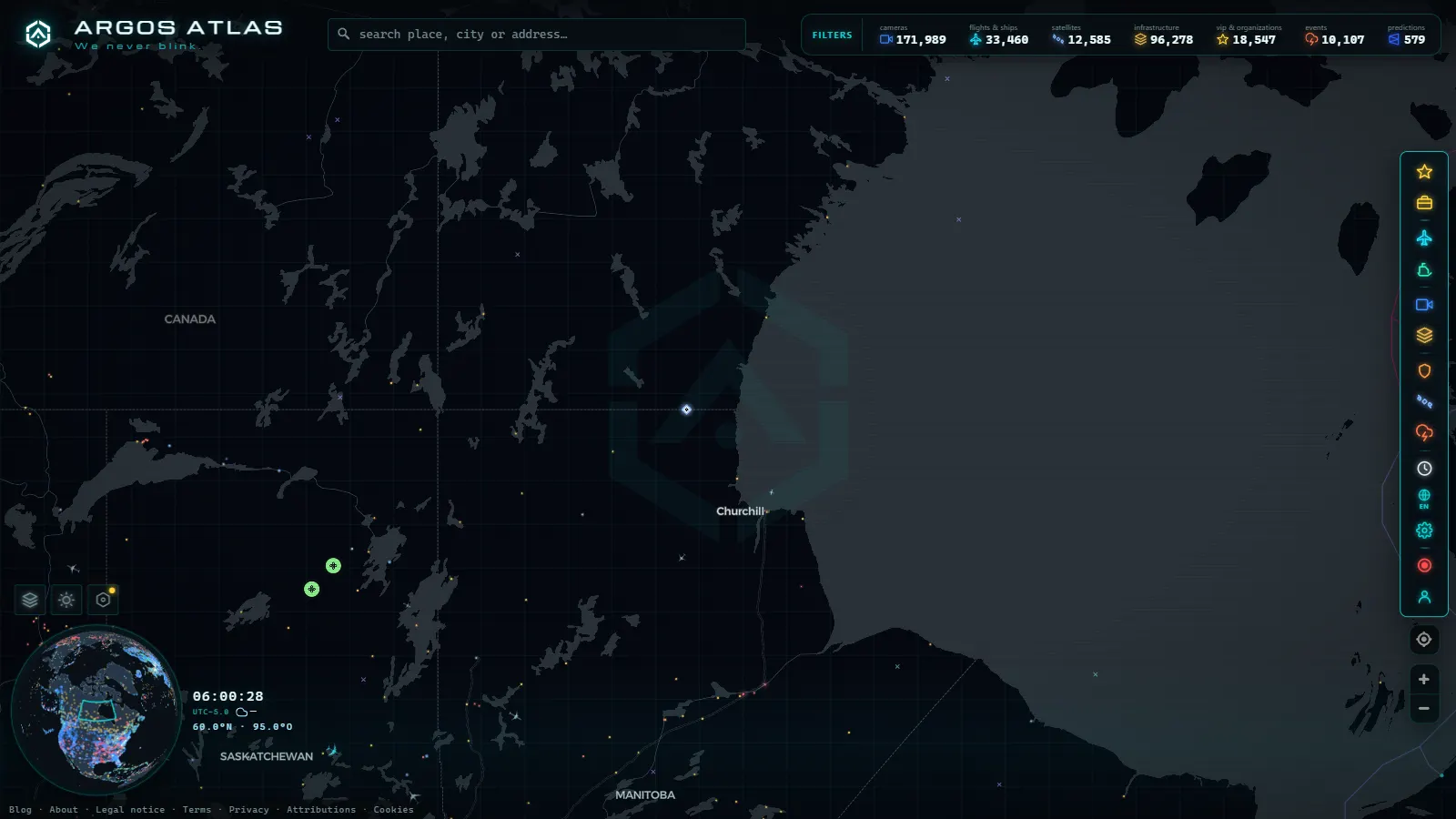
DriveBC is the road information service of the British Columbia government, and its camera network is the second big provincial system in Canada after Ontario 511. If you need to know whether the Coquihalla is open before you leave Hope, or whether there is fresh snow above Squamish on the Sea to Sky, these are the pictures you end up staring at. They are free, public, and posted on a cycle instead of streamed.
This guide is about reading them properly. On our map you can be looking at a camera on Highway 5 in about three clicks: open the map, zoom into southern British Columbia, click a marker. The harder part, and the part nobody bothers to explain, is knowing what each camera is pointed at, how old the picture in front of you might be, and how to tell a camera that has frozen from a highway that has closed. On screen those two look identical and they mean opposite things.
The essentials, in 20 seconds
- DriveBC is operated by British Columbia's transportation ministry and is Canada's second largest provincial camera network, after Ontario 511.
- Ontario 511 carries 1,660 cameras (count as of August 2026), far more than British Columbia's smaller, mountain-terrain network.
- Five corridors carry almost every winter closure: the Coquihalla (Hwy 5), Sea to Sky (Hwy 99), Rogers Pass on the Trans-Canada (Hwy 1), Crowsnest (Hwy 3) and the Okanagan Connector (Hwy 97C).
- Each camera publishes a still photo on a cycle, not a video stream, with no archive and no rewind.
- East Kootenay runs on Mountain time while the rest of the province uses Pacific, so a camera near the Alberta line can look an hour out of step with the coast.
What DriveBC is, and who runs the cameras
DriveBC is operated by the province's transportation ministry. It publishes three things a driver cares about: highway events (closures, collisions, construction, avalanche control), road condition reports fed by the maintenance contractors who work each service area, and a network of roadside webcams that reaches from Vancouver Island to the Peace River.
The cameras are the piece people use most and misread most. They are webcams, not video feeds. Each one takes a still photograph, publishes it, and overwrites it with the next. Nothing is kept for the public, there is no rewind and there is no sound. The resolution is deliberately modest: enough to tell black asphalt from white, or to see spray coming off a semi, and nowhere near enough to identify anyone. That restraint is exactly why the images can be published at all, which is the same logic behind every large public network and worth understanding before you judge the picture quality (we covered it in how traffic cameras work and why they are public).
For scale, Ontario 511 carries 1,660 cameras (count as of August 2026), the largest provincial set in the country. British Columbia's network is smaller in raw count and harder in terrain: a single summit camera can be the only public eye on a long stretch of highway with no cell coverage and no alternative route. The two provinces sit side by side in our guide to traffic cameras across Canada, and the contrast between a flat, dense grid and a mountain network explains most of the differences in how you use them.
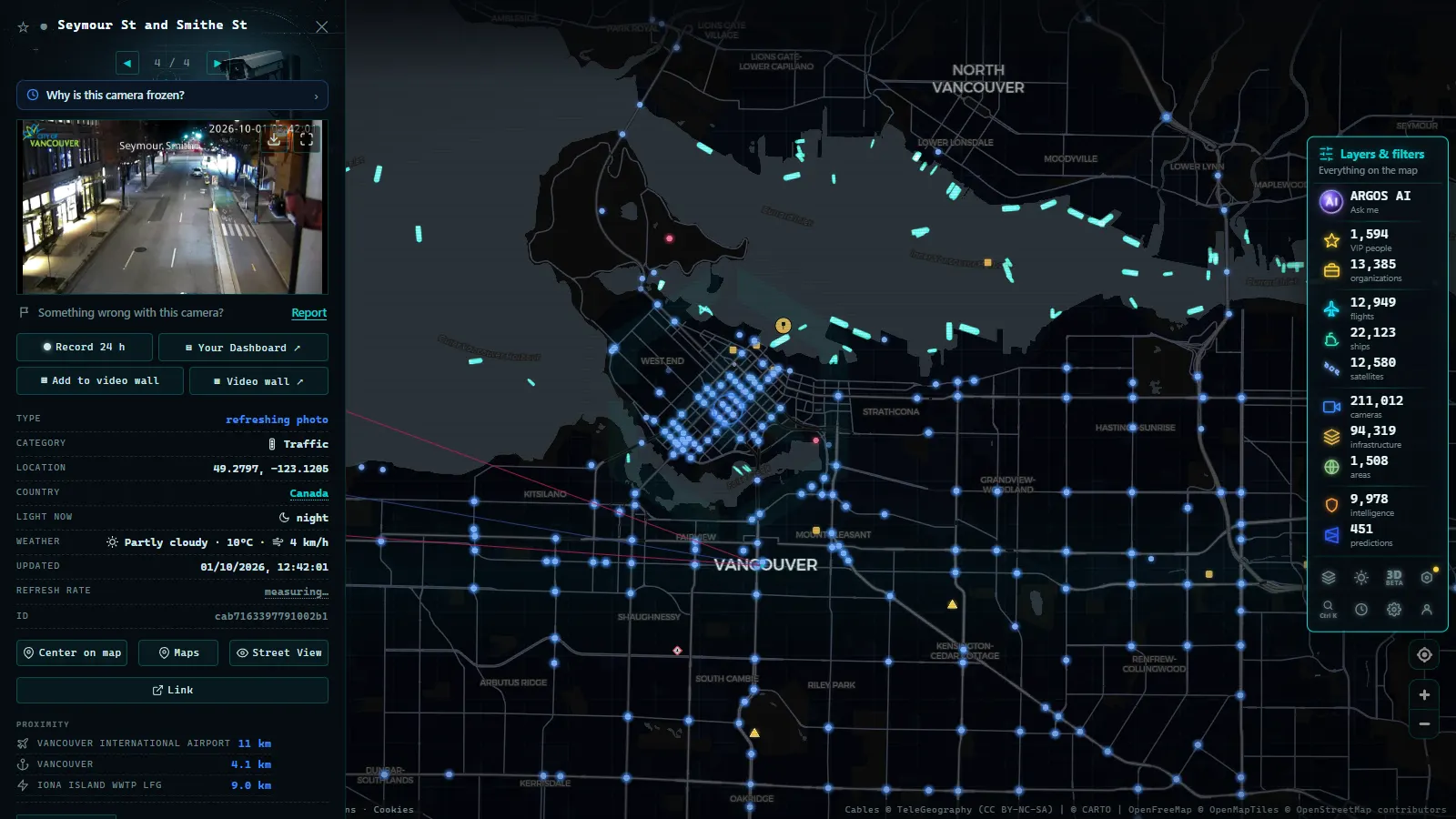
The five corridors DriveBC traffic cameras cover in British Columbia
Almost every winter closure story in the province happens on one of five routes. Knowing what the cameras on each are aimed at saves you from reading the wrong picture.
| Corridor | Highway | What the cameras are aimed at | Failure mode to expect |
|---|---|---|---|
| Coquihalla (Hope to Kamloops) | Hwy 5 | Summit area, the long climbs, the Merritt approach, maintenance yards | Snow and avalanche control closures, jackknifed trucks on the grades |
| Sea to Sky (Horseshoe Bay to Pemberton) | Hwy 99 | Cliffside sections, Lions Bay, Britannia, Squamish, the Whistler approach | Rockfall and collisions, with no realistic detour when it shuts |
| Trans-Canada, Rogers Pass (Revelstoke to Golden) | Hwy 1 | Summit, snowsheds, valley approaches | Scheduled avalanche control: road closed while the image looks clear |
| Crowsnest (Hope to the Alberta line) | Hwy 3 | Allison Pass in Manning Park, Kootenay Pass, small mountain towns | High summits on the route people assume is the low alternative |
| Okanagan Connector (Merritt to Kelowna) | Hwy 97C | Open plateau, wind-exposed straights | Whiteouts and drifting, with visibility gone between two frames |
Outside those five, the density flips. The Lower Mainland has closely spaced cameras on Highway 1, the tunnels and the bridges, where the question is congestion rather than survival. Vancouver Island puts them on the Malahat, the one climb that can cut the island in half. Northern routes have long gaps by design: there is nothing to mount a camera on, and no power to run it.
From the ARGOS ATLAS channel.
How often DriveBC traffic cameras refresh
There is no single cadence. Busy urban sites update on a short cycle. Remote summit cameras, often running on cellular backhaul and solar panels, refresh more slowly and slow down further in December when there are six hours of weak daylight to charge a battery.
Every image carries a timestamp, and the timestamp is the data. The picture is only the illustration. Read the clock first, then the road. Two details trip people up. Most of the province runs on Pacific time, but parts of the East Kootenay keep Mountain time, so a camera near the Alberta line can look an hour out of step with one on the coast. And darkness is real: outside lit interchanges, a mountain camera between dusk and dawn shows you a black rectangle with a few headlight streaks, which is not evidence of anything.
Winter adds its own failures. Snow packs onto the housing, ice glazes the lens, condensation turns the frame into milk, and low sun straight into the optics washes out the whole image. A camera can be working perfectly and still be useless, and that is a different problem from a camera that is down.
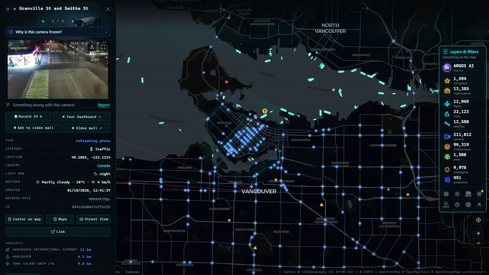
Frozen image or closed highway: how to tell them apart
This is the one skill worth having, because an empty highway on screen has two completely different explanations.
- Check the age against that camera's normal rhythm. Look at it twice on a calm day and you learn what fresh looks like. Anything much older than that is suspect.
- Compare with the neighbour. If the next camera along the same corridor updated two minutes ago and yours is forty minutes old, the fault is the camera, not the road. Corridor-wide staleness is the pattern that suggests a power or comms outage.
- Reload and look for change. Snow depth on the barrier, shadow angle, vehicle positions. Two different timestamps over pixel-identical images means a stalled image server that is still stamping fresh times on an old frame. It happens, and it is the trap.
- Check the light against the clock. Full daylight on a frame stamped 9 pm in January is a frozen image, no interpretation needed.
- Read the event list, not the picture. A real closure appears as a published event with a location, a reason and an estimated reopening. The camera is corroboration.
A camera that has stopped and a road that has emptied look the same. The timestamp, the neighbouring camera and the official event list are what separate them. Never make a departure decision on the picture alone.
If a camera stays dark for days, it is usually not a conspiracy. Public networks lose units to storms, power cuts, vandalism and slow replacement cycles, which we go through in why a traffic camera stops working.
What DriveBC cameras in British Columbia will not show you
Honest limits, because the gap between what people expect and what exists is where bad trips start.
There is no continuous video and no archive: you cannot rewind to see what the pass looked like an hour ago. There is no coverage between cameras, and in the mountains those gaps are long, so a clear summit tells you nothing about the descent. Cameras do not report road surface temperature, so black ice is invisible: a dry-looking, perfectly lit frame at minus two is the most dangerous image on the whole network. They do not show chain-up enforcement, they do not show queue length beyond their own field of view, and they cannot tell you whether the closure ahead is fifteen minutes or six hours.
The timing mismatch is the one that catches travellers. Avalanche control on Rogers Pass is often planned, so the highway can be shut while every camera shows an immaculate, empty, sunlit road. The reverse also happens: a camera buried in blowing snow on a highway that is open and moving fine two kilometres downhill.
Watching British Columbia's highways on one map
The official service is the authority for closures. What it is not built for is comparison: you are on one province's site, in one province's interface, and the moment your route crosses into Washington or Alberta you start again somewhere else.
That is the gap our live map of public cameras fills. It gathers 200,000+ public cameras (count as of September 2026) from hundreds of official networks into one view, DriveBC among them, with no signup and no app. Zoom to southern British Columbia, click a marker, and you get the current image with its timestamp. Two habits make it far more useful: keep one camera on the summit and one on the approach town, because the town tells you what is arriving; and pan east or south across the border to see the same storm hitting the neighbouring network before it reaches you. The province next door in the other direction is worth a look too, with Ontario 511 and its 1,660 cameras as the reference point for how a dense provincial grid behaves.
A winter routine that actually works
- The night before, look at the summit cameras and the forecast together. Note which cameras are already stale, because those will not help you in the morning.
- At breakfast, check three cameras per corridor, not one: bottom, summit, far side.
- Confirm against the event list. If there is a planned avalanche control window, plan around it rather than driving to the gate.
- Before you commit past the last exit, one final look. On the Coquihalla that means Hope. On the Sea to Sky it means Horseshoe Bay, because after that there is nowhere to turn around.
- On the road, at each stop, look at the camera ahead rather than the one behind.
That sequence is not specific to British Columbia. It is the same discipline every alpine road demands, and the general version, including how to read snow in a still image, is in our guide to mountain pass cameras and checking snow before you travel.
Used this way, DriveBC's cameras are one of the better public services in Canada: honest, timestamped, free, and pointed at the places where a bad decision costs the most. Used as a live video feed of a road that is definitely open, they will let you down, and the mountain will not care.
Frequently asked questions
Are DriveBC traffic cameras free to watch, and do I need an account?
They are free, public and need no registration. British Columbia publishes them as part of its road information service, the same way Ontario and Quebec do with theirs. You can also open them on our map with no signup, no app and no email address, alongside the rest of the public camera catalogue.
How often do DriveBC cameras refresh?
Most post a new still every few minutes rather than streaming video. Urban cameras in the Lower Mainland tend to update faster than remote summit sites running on cellular links and solar power, which slow down in deep winter. Always read the timestamp on the image before you read the road.
How do I know if a British Columbia highway is closed or the camera is just stuck?
Compare the camera with its neighbour on the same corridor. If the next one along updated two minutes ago and yours is forty minutes old, the problem is the camera. An empty highway with a genuinely fresh timestamp in the middle of a Friday afternoon is the pattern that suggests a real closure, and the official event list confirms it.
Do DriveBC cameras record video I can rewind?
No. Each camera holds one current photograph and overwrites it with the next one. There is no public archive, no rewind and no sound. Resolution is low on purpose: enough to see whether the asphalt is black, white or shining wet, not enough to identify a vehicle or read a plate.
Which British Columbia passes close most often in winter?
The Coquihalla summit area, Rogers Pass on the Trans-Canada and Kootenay Pass on Highway 3 are the usual names, with the Sea to Sky closing for rockfall and collisions rather than altitude. Rogers Pass closures are often planned in advance for avalanche control, so the road can shut while the camera image still looks perfectly clear.
- Finland Traffic Cameras: Fintraffic, Digitraffic and Lapland
- Sweden Traffic Cameras: Trafikverket Roads, Corridor by Corridor
- Austria Traffic Cameras: Alpine Passes, Tunnels and Vienna
- Iowa 511 Traffic Cameras Live: I-80, I-35 and I-380 in One Map
- Iceland road cameras live: Ring Road, passes and black ice
- Bergamo Traffic Cameras: A4, Tangenziale Sud and Orio al Serio