Blog · Traffic cameras
Nevada Traffic Cameras Live: I-15, I-80 and Sierra Passes
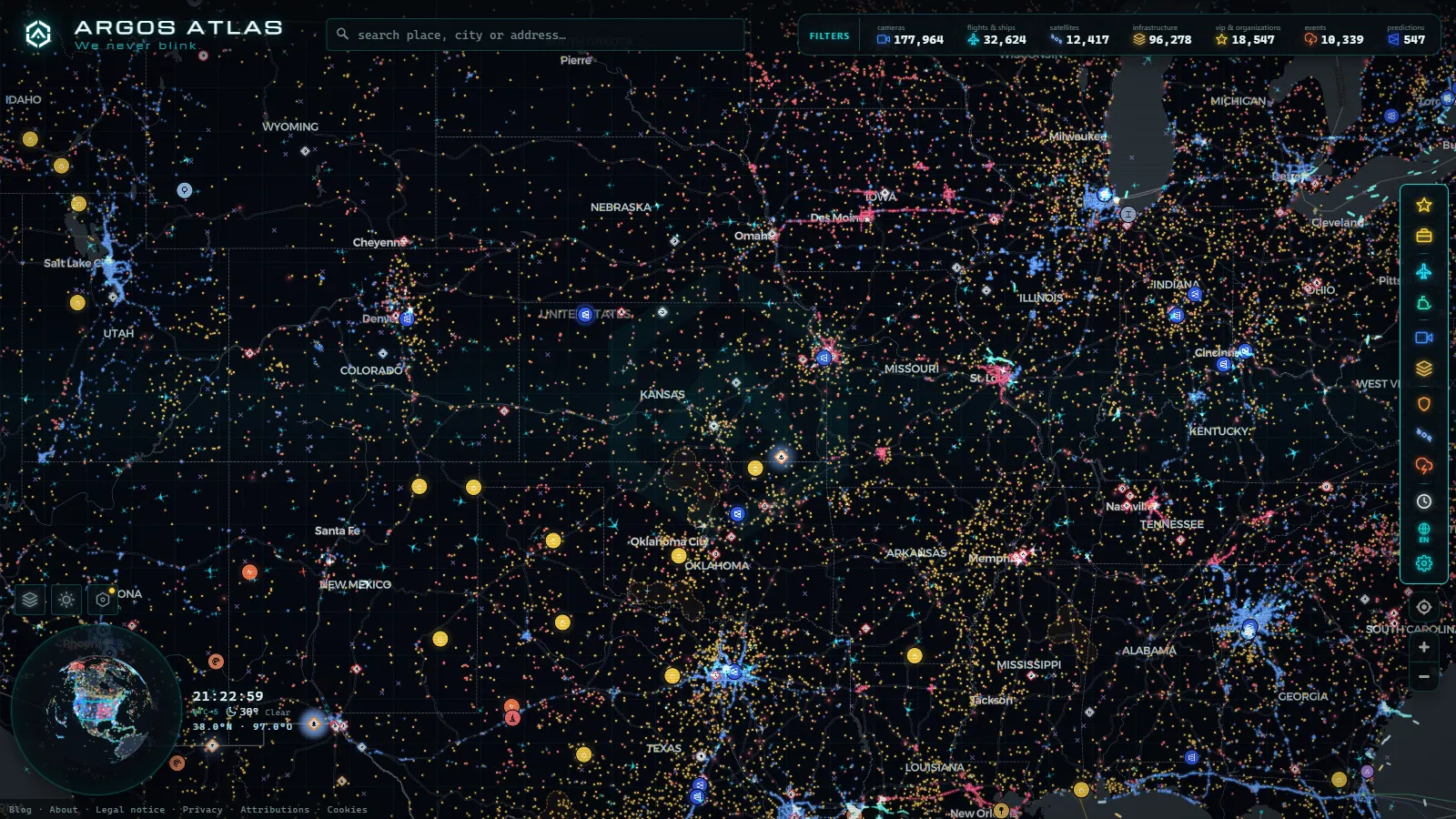
Nevada is the wrong state to search by city. Las Vegas and Reno hold almost everyone who lives there, but the drives that go badly happen in between: the Sunday run down I-15 to the California line, the long empty stretch of I-80 east of Winnemucca in a January whiteout, the Sierra passes above Lake Tahoe when the chain controls go up. A camera list sorted by town hides all three.
So this guide is sorted by corridor instead. For each one you get the operator behind the images, what the image actually is (a still frame or moving video), and which stretches have nobody watching at all. Everything below is already plotted on our live map of public traffic cameras, which holds 200,000+ public cameras worldwide (count as of September 2026). Nevada's share of that runs to hundreds, and they are not spread evenly.
Nevada traffic cameras live: three corridors, two operators
The Nevada Department of Transportation (NDOT) runs the statewide network and publishes it through NV Roads and the 511 phone and web service. That is the brand to look for: rural I-80, I-15 outside the metros, US-95, US-50 and the mountain highways all belong to NDOT.
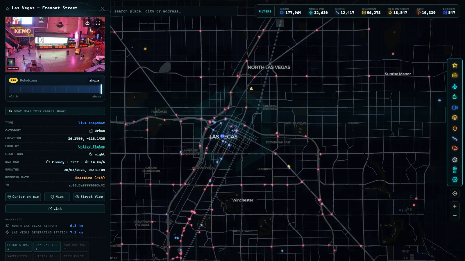
Inside the Las Vegas valley the operator changes. The Regional Transportation Commission of Southern Nevada runs FAST (Freeway and Arterial System of Transportation), a much denser grid that covers the freeways and a good number of surface arterials. The jump in density when you pan from Jean up into the valley is not a mapping artefact, it is a change of agency.
The third operator is not in Nevada at all. Caltrans covers the California side of both corridors that matter, and on I-15 and I-80 the decisive bottleneck is very often across the state line. Treating Nevada as a closed box is the single most common mistake here.
I-15 traffic cameras: Las Vegas to the California state line
Inside the valley, FAST gives you the Spaghetti Bowl, the resort corridor, US-95 and the I-215 beltway at close spacing. This is the only part of Nevada where you can genuinely watch a jam propagate from one camera to the next.
Head southwest and the coverage thins into NDOT territory: cameras clustered at the interchanges and summits between the valley and Primm, then the state line. That is where most people stop looking, and that is the mistake. On a holiday return the queue that ruins the afternoon usually forms on the California descent, around Mountain Pass and down toward Baker, and it backs up into Nevada. Those cameras belong to Caltrans, and they are worth checking before you leave the hotel rather than after you are already committed. Our guide to the traffic cameras of California covers that side in detail.
Northeast of the valley the pattern repeats: cameras at Apex, thinner coverage through the Moapa Valley, a cluster at Mesquite, and then Arizona takes over for the Virgin River Gorge under a different agency with different refresh behaviour.
I-80 from Reno to Elko across the Great Basin
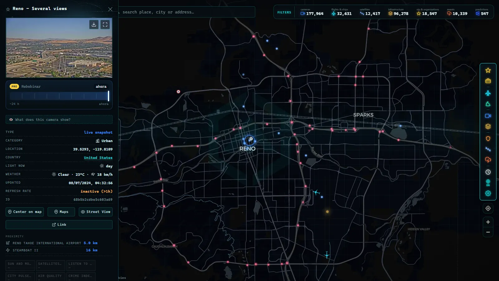
Reno and Sparks have a reasonable urban cluster. East of Fernley the logic changes completely: NDOT places cameras where the road closes, not where the traffic is. That means summits, interchanges and road weather sites, with long gaps in between.
The two points to memorise are Golconda Summit, east of Winnemucca, and the climb near Emigrant Pass between Battle Mountain and Carlin. Both are wind and blowing snow traps, both are where the highway patrol actually shuts the interstate, and both have cameras precisely because of that. Elko, Wells and West Wendover have their own views near the interchanges.
What you will not get is continuity. Between Lovelock and Winnemucca, or between Battle Mountain and Carlin, you can go a long way without a single public image. In winter this is where road weather station readings and the closure notices carry more information than any camera, because a clear frame at the summit says nothing about the ground blizzard twenty miles back.
From the ARGOS ATLAS channel.
The Sierra passes that close in winter
The passes are the reason people check cameras at all in this part of the state. On the Nevada side, NDOT covers Mount Rose Highway (NV-431), Kingsbury Grade (NV-207), Spooner Summit on US-50 and Geiger Grade (NV-341) toward Virginia City. Several of those points pair the image with a road weather readout, which is more useful than the picture itself when the light is bad.
But the pass that decides a Tahoe or Sacramento trip is usually Caltrans: Donner Pass on I-80 and Echo Summit on US-50. Chain controls there close the corridor for everyone leaving Reno, and no Nevada camera will warn you. The practical routine is to open both sides at once, which is exactly what a single map is for. If you make this trip regularly, our piece on cameras at mountain passes and how to see snow on the road explains what to read in a winter frame.
Who operates each group of Nevada traffic cameras
| Corridor or area | Operator | What you get | Best used for |
|---|---|---|---|
| Las Vegas valley (I-15, US-95, I-215) | RTC of Southern Nevada, FAST | Dense grid, a few points with moving video | Seeing which side of the Spaghetti Bowl is stuck |
| I-15 south of the valley to Primm | NDOT, via NV Roads and 511 | Stills at interchanges and summits | Judging the southbound queue before committing |
| I-15 in California (Mountain Pass to Barstow) | Caltrans | Stills on the descent and at the pass | The real holiday bottleneck |
| I-80 from Reno to Elko | NDOT | Stills at summits, interchanges, weather sites | Wind, blowing snow and closures |
| Nevada Sierra passes (Mount Rose, Kingsbury, Spooner, Geiger) | NDOT | Stills, often with a weather readout | Deciding whether to carry chains |
| Donner Pass and Echo Summit | Caltrans | Stills, refreshed hard during storms | Chain controls that decide a Tahoe trip |
| US-95, US-50 and US-93 between towns | NDOT, sparse | A camera at a junction, then nothing | Confirming a road is open, not watching it |
Where nobody is watching: the desert gaps
This is the part most guides skip. Large parts of Nevada have no public camera coverage whatsoever, and pretending otherwise is worse than useless.
US-95 between Las Vegas and Tonopah, and on north toward Fallon, is watched at a few junctions and nowhere else. US-50 across the middle of the state, the road that earned the nickname of loneliest highway in America, has isolated points near towns and long unwatched basins in between. US-93 north toward Ely and the Great Basin is the same. The side highways out toward Denio, Jarbidge or the Nevada Test and Training Range fringe are effectively invisible.
The reason is prosaic: cameras follow power, communications and traffic volume, and in those basins there is little of any. So the honest workflow in rural Nevada is to use cameras to confirm conditions at the points that have them, and to use closure and road weather information for everything else. A blank stretch on the map is real information too.
How to watch Nevada traffic cameras live in three clicks
Open the map, type the corridor or the town you care about (Primm, Winnemucca, Mount Rose), and click the marker. The current frame loads with its timestamp, and from there you can pan along the corridor without changing site, which is the whole point of pulling NDOT, FAST and Caltrans into one layer instead of juggling three official portals.
Two habits make it work. First, always read the timestamp on the frame rather than assuming what you see is now. Second, when an image looks frozen or comes back black, do not conclude the road is closed: cameras fail constantly, and we explain the usual causes in why a traffic camera is not working. If you want the wider picture across the country, the United States traffic cameras overview is the parent guide to this one.
What these cameras will not show you
They are traffic management tools, not surveillance. Resolution is low, angles are wide, and you cannot read a plate or identify a driver in them. They do not measure your speed and they do not issue anything.
They are also, in the rural half of the state, still images rather than video, which means a fast-moving squall can arrive and pass between two frames. At night many desert cameras give you little more than headlights and a dark shape, and after a storm the lens itself is often the thing covered in snow. Add the gaps described above and the realistic promise is this: on I-15 near Las Vegas and on I-80 near Reno you can watch the traffic, and everywhere else in Nevada you can check specific points that matter and infer the rest.
Lake Tahoe's Nevada side: the corridor US-50 leaves out of the count
Nevada Lake Tahoe traffic cameras cover a fourth corridor that does not fit neatly into I-15, I-80 or the Sierra passes above: US-50 along the lake's south and east shore, from the Spooner Summit junction with SR-28 down through Cave Rock to the Kingsbury Grade turnoff toward South Lake Tahoe. NDOT runs this stretch, and it behaves less like a highway than like a mountain pass with a lake attached: the road sits above 6,000 feet for most of its Nevada length, curves tightly around the shoreline, and gets hit by the same lake-effect snow bands that close Donner and Mt Rose.
What makes this corridor different from the rest of the article is the border. Lake Tahoe splits between Nevada and California, and so do the cameras: NDOT's feeds stop where the state line crosses US-50 near Stateline, and Caltrans picks up the coverage on the California side of the basin, including the cameras around South Lake Tahoe itself and the routes over Echo Summit. A driver checking road conditions for a full loop around the lake needs both systems open at once, because neither state's camera map shows the other's territory. California's traffic camera coverage is the place to check that other half.
| Segment | Operator | What to expect in winter |
|---|---|---|
| Spooner Summit to Cave Rock | NDOT | Chain controls common during storms, curves obscure sightlines |
| Cave Rock to Kingsbury Grade | NDOT | Lake-effect snow bands, slower plowing than the interstates |
| State line to South Lake Tahoe | Caltrans | Separate camera feed, separate closure announcements |
The practical gap is this: NDOT's camera count around Tahoe is thin compared to I-80, because the corridor carries far less freight traffic and gets prioritized accordingly. A storm can close Kingsbury Grade with only one or two cameras nearby actually pointed at the trouble spot, which means the feed often shows clear pavement seconds before the highway crew posts a closure. Anyone driving to or from the Nevada side of Tahoe in winter should treat the cameras as a first look, not a final answer, and pair them with NDOT's own closure alerts rather than relying on the images alone.
Frequently asked questions
Is it free to watch Nevada traffic cameras live, and do I need an account?
Yes, it is free and there is no registration. The feeds come from NDOT, RTC of Southern Nevada and Caltrans, all of them public agencies that publish their images without a login. On our map you open the camera layer, click a marker and the current frame loads. No account, no app, no trial.
Which agency operates traffic cameras in Nevada?
Two, plus a neighbour. NDOT runs the statewide network published through NV Roads and 511, covering rural I-80, I-15 outside the metros and the mountain highways. RTC of Southern Nevada runs the dense FAST grid inside the Las Vegas valley. Caltrans covers the California side of both key corridors.
Are Nevada traffic cameras live video or still images?
Mostly still images that are replaced periodically, not continuous video. A handful of urban Las Vegas points offer moving footage, but the rural NDOT cameras are single frames. Read the timestamp printed on the image: if it has not moved in ten minutes, the camera is stuck, not the traffic.
Can I see I-80 conditions between Winnemucca and Elko?
Partially. NDOT places cameras at the summits and interchanges that matter, including Golconda Summit and the climb near Emigrant Pass, but the flat runs between towns have long unwatched stretches. For those, road weather stations and closure notices tell you more than any camera will.
Do these cameras record plates or issue tickets?
No. These are traffic management cameras: low resolution, wide angle, aimed at flow rather than at vehicles. You cannot read a plate or identify a driver in them, and they are not the enforcement systems that issue citations. What they show is whether a lane is moving and whether there is snow on it.
- Oregon Traffic Cameras on TripCheck: I-5, 3 Passes, US-101
- DriveBC Traffic Cameras: British Columbia's 5 Mountain Passes
- Finland Traffic Cameras: Fintraffic, Digitraffic and Lapland
- Sweden Traffic Cameras: Trafikverket Roads, Corridor by Corridor
- Austria Traffic Cameras: Alpine Passes, Tunnels and Vienna
- Iowa 511 Traffic Cameras Live: I-80, I-35 and I-380 in One Map