Blog · Traffic cameras
511PA Traffic Cameras: I-76 and the 4 Turnpike Tunnels
Pennsylvania is a wide state and 511PA has to cover all of it, from the Delaware River to the Ohio line, with the Appalachians sitting in the middle. The spine of that coverage is I-76, which begins as the Schuylkill Expressway in Philadelphia, becomes the Pennsylvania Turnpike at Valley Forge, and then runs west through Harrisburg, the tunnel belt, Bedford and Somerset to the northern suburbs of Pittsburgh.
If you have used 511PA and felt that the cameras behaved differently in Philadelphia than they did near the Blue Mountain tunnel, you were not imagining it. The reason is written down nowhere on the site: you are looking at two separate camera networks presented as one. This guide walks the corridor end to end, explains that split, and is explicit about what these cameras will not show you.
What 511PA traffic cameras actually are
511PA is PennDOT's public traveler information service: cameras, incident alerts, travel times, construction notices and winter road conditions for the state highway system. The cameras are what most people come for, and the first thing worth knowing is that most of them are not video. They are still images refreshed on an interval. Open one, wait, refresh, and you get the next frame. That is enough to tell you whether the Schuylkill is stopped at Gulph Mills or whether there is snow on the deck at Somerset. It is not enough to follow a single vehicle from one frame to the next.
The second thing worth knowing is that the network is organised by PennDOT engineering district, not by route. A trip on I-80 crosses several districts, and camera density changes at those boundaries for budget reasons rather than traffic reasons. Rural districts get cameras at interchanges and mountain summits, and very little in between. If that surprises you, the general principles are covered in our explainer on how public traffic cameras work and why they are public.
The split nobody explains: PennDOT and the Turnpike are two networks
This is the part missing from every other guide to 511PA traffic cameras. Pennsylvania's highways are run by two different organisations, and both feed images into the same site.
PennDOT runs the free state system: I-95, I-81, I-83, I-79, I-80, I-376, the US routes, and the Schuylkill Expressway portion of I-76 inside Philadelphia. The Pennsylvania Turnpike Commission is a separate toll authority with its own traffic operations centre, its own maintenance crews and its own camera programme along the ticketed system: I-76 west of Valley Forge, I-276 across the Philadelphia suburbs, and the I-476 Northeast Extension.
511PA aggregates both, which is genuinely useful, but the ownership leaks through in ways that confuse people:
- The location references do not match. The Turnpike references everything by milepost, counting up from the Ohio line in the west toward the Delaware River bridge in the east. PennDOT references by route, segment and offset. "Mile 200" means something precise on the Turnpike and nothing transferable on I-80.
- Naming is inconsistent. Turnpike cameras tend to be labelled by milepost, interchange or service plaza. PennDOT cameras are labelled by the nearest crossroad. Search a place name and you find one set while missing the other.
- Outages belong to different crews. A dead Turnpike camera and a dead PennDOT camera on the same night are two tickets in two organisations with two repair schedules.
- Coverage philosophy differs. The Turnpike is a closed, tolled corridor with a strong operational incentive to watch tunnels, grades and interchanges. PennDOT spreads a thinner layer over far more centreline miles.
| Feature | PennDOT network | Pennsylvania Turnpike network |
|---|---|---|
| Operator | State DOT, split into engineering districts | Turnpike Commission (toll authority) |
| Share of the I-76 corridor | Schuylkill Expressway, Philadelphia to Valley Forge | Mainline, Valley Forge west to the Ohio line |
| Also covers | I-95, I-80, I-81, I-83, I-79, I-376, US routes | I-276, I-476 Northeast Extension, tolled connectors |
| Location reference | Route, segment and offset | Milepost, counting up west to east |
| Camera naming | Nearest crossroad | Milepost, interchange or service plaza |
| Density pattern | Urban clusters, sparse rural districts | Continuous along the toll road, heavy at tunnels |
| Typical weakness | Long outages in low traffic districts | Fewer gaps, but tunnel interiors stay private |
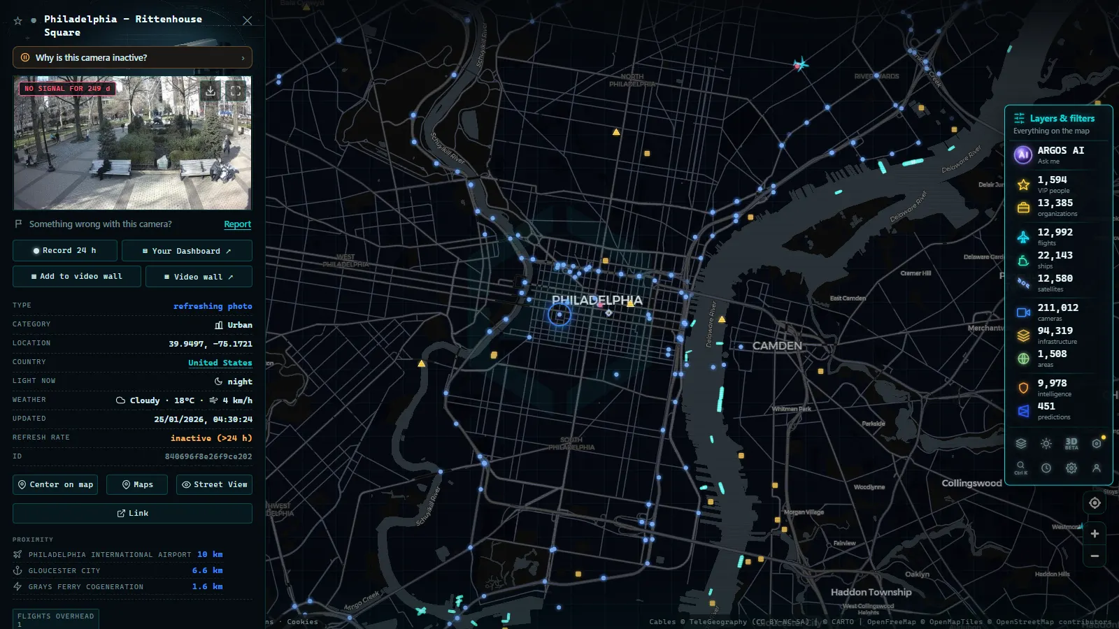
The practical consequence: planning a Philadelphia to Pittsburgh run, do not search once. Search the Philadelphia end by crossroad and the Turnpike section by interchange or milepost, or you will conclude that half the corridor has no coverage when in fact it has more than the eastern end.
Riding the corridor with 511PA traffic cameras, east to west
| Segment | Camera owner | What you get | Where it fails |
|---|---|---|---|
| Vine Street Expressway to Gulph Mills | PennDOT | Dense urban coverage of the Schuylkill, the tightest spacing on the whole route | Sun glare on the river bends, chronic congestion looks identical at every hour |
| Valley Forge to Morgantown | Turnpike | Interchange views on the climb out of the Piedmont | Long unwatched stretches between exits |
| Reading interchange to Harrisburg East | Turnpike | Rolling farmland, useful for valley fog | Few cameras between interchanges, fog itself blinds them |
| Harrisburg (I-83, I-81, US 322) | PennDOT and Turnpike overlap | The busiest crossroads in central Pennsylvania | Two naming systems collide here, duplicates and near-duplicates |
| Carlisle to Willow Hill | Turnpike | Tunnel portals and approach queues | Interiors are not public |
| Breezewood, Bedford, Somerset | Turnpike | Highest ground on the mainline, first snow of the season | Blowing snow makes images unreadable |
| Allegheny Mountain tunnel to New Stanton | Turnpike | Long truck grades, chain-up behaviour visible | Night usability is poor away from lit interchanges |
| Monroeville to Cranberry | Turnpike | The Pittsburgh ring, heavy commuter volume | The city itself is not on this road |
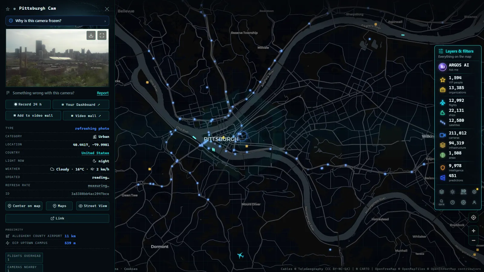
That last row deserves a sentence, because it catches people out. I-76 does not enter Pittsburgh. The Turnpike passes north and east of the city and carries on to the Ohio line. Downtown is reached by leaving at Monroeville for I-376, the Parkway East, which is PennDOT territory with PennDOT cameras and PennDOT naming. The final stretch of the drive changes networks one last time.
From the ARGOS ATLAS channel.
Tunnels and the passes that close for snow
The mainline still threads four tunnels, a legacy of the abandoned railroad grade the Turnpike was built on. Heading west from Carlisle you meet Blue Mountain and Kittatinny almost back to back, then Tuscarora, then Allegheny Mountain before Somerset. (The Lehigh Tunnel is on the Northeast Extension, not on I-76.) Public cameras cover the approaches and the portals. The bores are monitored, but that footage stays internal, so what you can read from outside is queue length, whether both tubes are flowing and whether traffic is being merged before the portal.
The snow story sits in Somerset and Bedford counties, on the highest ground of the route. This is where the corridor stops being a driving problem and becomes a weather problem: blowing snow across open cuts, whiteouts that arrive faster than any forecast refreshes, and tiered commercial vehicle restrictions that can go up while you are already committed between interchanges. A summit camera answers the only question that matters, which is whether the lanes are actually clear right now. The same logic applies anywhere in the world, and we covered the general method in our guide to checking mountain pass cameras before you travel.
What 511PA traffic cameras will not show you
This is the part worth reading twice, because the gaps are predictable.
- They are mostly stills. Refresh intervals vary by camera and by network. You cannot judge speed from a single frame, only occupancy.
- Rural coverage is thin by design. Long sections of US 6, US 22 and the two-lane roads through the ridges have nothing at all. Absence of a camera is not absence of a problem.
- Night is largely useless away from lit interchanges. A dark frame is not an incident report.
- Weather kills the lens first. Snow, ice and heavy rain on the housing take the camera out exactly when demand peaks.
- Outages persist. A camera can sit dead for weeks, especially in the districts with the least traffic. If one image never changes, it is probably frozen rather than showing an empty road, and the reasons are the usual ones we listed in why a traffic camera stops working.
- Nothing is archived for the public. There is no rewind, no history, no way to check what a junction looked like an hour ago.
Watching the whole corridor on one map
The awkward part of 511PA is that a real trip rarely stays inside one state. I-76 continues into Ohio under a different toll authority, I-70 heads for Maryland, I-79 runs down into West Virginia, and each of those has its own site with its own login-free but incompatible interface.
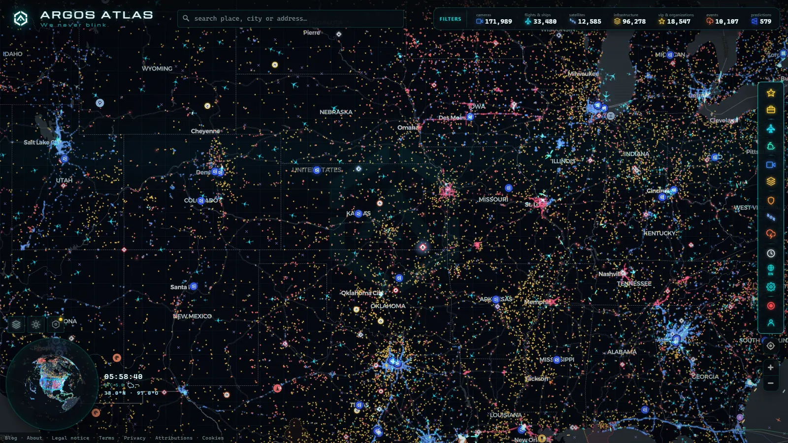
That is the gap our own project fills. ARGOS ATLAS pulls public camera feeds from official operators worldwide into a single view, 200,000+ cameras in total (count as of September 2026), alongside live flights, ships and infrastructure. You can open the map and pan the I-76 corridor without switching sites at the state line, and cross into the neighbouring networks the same way. For scale on how uneven US coverage is between states, our overview of traffic cameras across the United States is the place to start, and the contrast with a single dense state network is clear in New York's 511NY cameras, which contributes 1,871 cameras on its own (count as of August 2026).
One practical habit for this corridor: check three points before leaving, not one. The Philadelphia end for volume, Harrisburg for the crossroads, and a Somerset or Bedford summit for weather. If the third one is white, the other two do not matter.
Frequently asked questions
Is 511PA free, live and usable without an account?
Yes. 511PA is a public PennDOT service and its camera images are open to anyone, with no registration and no fee. The images are live in the sense that they refresh on a short interval, but most of them are stills rather than continuous video, so you get the latest frame, not a moving picture. The same applies to viewing Pennsylvania cameras on our map: free, no sign-up, no app.
Why do some I-76 cameras use mileposts and others use street names?
Because they belong to two different organisations. The Pennsylvania Turnpike Commission runs the tolled mainline west of Valley Forge and references everything by milepost, counting up from the Ohio line eastward. PennDOT runs the Schuylkill Expressway inside Philadelphia and the rest of the free system, and references cameras by the nearest crossroad. 511PA shows both, but it does not translate one system into the other.
Can I see inside the Blue Mountain or Allegheny Mountain tunnels?
No. The public cameras cover the approaches and the portals, not the tunnel bores. The interiors are monitored, but that footage is operational and stays with the Turnpike's traffic operations centre. If a tunnel is restricted or closed, you learn it from the alert feed and from queue length on the portal cameras, not from an interior view.
Do the cameras show whether the mountain sections are closed for snow?
Indirectly, and that is often better than a forecast. A portal or summit camera in Somerset or Bedford county tells you whether lanes are actually clear, whether trucks are moving and whether snow is blowing across the deck. Formal restrictions, including tiered commercial vehicle bans, arrive through the alert feed instead. The weakness is obvious: in heavy snow the lens itself ices over and the image stops being useful exactly when you need it most.
Does I-76 reach downtown Pittsburgh?
No, and this catches out a lot of first-time drivers. The Turnpike mainline passes north and east of the city through Monroeville, Harmarville and Cranberry, then continues to the Ohio line. To reach downtown you exit at Monroeville onto I-376, the Parkway East, which is a PennDOT road with PennDOT cameras. The last stretch of a Philadelphia to Pittsburgh trip changes camera networks one more time.
- Nevada Traffic Cameras Live: I-15, I-80 and Sierra Passes
- Oregon Traffic Cameras on TripCheck: I-5, 3 Passes, US-101
- DriveBC Traffic Cameras: British Columbia's 5 Mountain Passes
- Finland Traffic Cameras: Fintraffic, Digitraffic and Lapland
- Sweden Traffic Cameras: Trafikverket Roads, Corridor by Corridor
- Austria Traffic Cameras: Alpine Passes, Tunnels and Vienna