Blog · Traffic cameras
Turin Traffic Cameras: the 3 Roads That Decide Your Trip
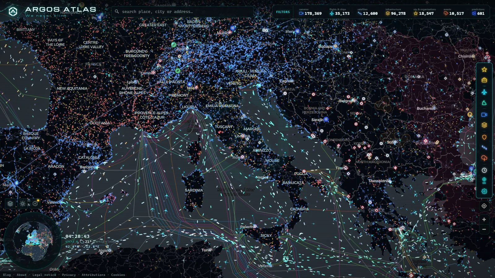
Turin is the largest Italian city that people look for inside our map, and until today it had no page of its own. Here it is, and it opens with the part most sites skip: as of August 2026 there is no verified public street camera for Turin in ARGOS ATLAS. Not one municipal view we can point at and say "that is corso Regina Margherita, live, right now".
What does exist is a city whose traffic is decided in three or four very specific places, and a map that can still tell you something useful about most of them. This page is about those places: the western ring locals call the tangenziale, the A4 running east to Milan, the road north to Caselle airport, and the restricted centre. Where a camera exists, we say who owns it. Where it does not, we say what to look at instead.
Who runs Turin traffic cameras, and which ones are public
Three operators, three very different levels of access. That distinction is worth more than any camera count.
The city's mobility control room runs the urban network: signal-controlled junctions, the access gates of the restricted zone, the reserved bus lanes. It is the densest set of eyes in Turin and the least visible. Those images exist to time traffic lights and to issue fines, not to be streamed to you. Italian municipal networks are almost never opened to the public, and Turin follows that rule rather than breaking it.
The motorway concessionaires own the second set, on the tangenziale itself and on the A4, A5, A6, A21 and A32 that fan out from it. These are the familiar roadside units that refresh a still image every few seconds instead of streaming video, and they are the ones with a real chance of being public. Coverage across the Italian network is uneven and split between operators, which is exactly the mess we mapped in the country-level guide to traffic cameras in Italy.
The third set belongs to nobody in particular: panoramic webcams aimed at the Mole Antonelliana, the river, the hills behind the city. Excellent for weather and for deciding whether the Alps are visible today. Useless for traffic.
The tangenziale: the ring that decides your morning
Turin's ring road is not a ring. It is a western arc, split into Tangenziale Nord and Tangenziale Sud, and it carries two incompatible jobs at once: local commuting between the belt towns, and every long-distance movement between France, Milan, Genoa and the Aosta valley. That overlap is the whole story of Turin traffic.
Three points concentrate the trouble:
- The northern junction area, where the ring meets the A4 for Milan and the A5 for Aosta. Weekday evenings and Sunday returns land in the same place.
- The southern industrial stretch around Orbassano and the freight interchange, where the heavy-vehicle share stays high well outside rush hour.
- The southern link towards the A6, which absorbs the entire coast-bound flow on summer weekends and at the start of holiday periods.
The practical move is to open the live map of public cameras over the corridor you actually need, not over the city centre, and see whether camera icons appear along it. If the operator of that stretch publishes images, you get one. If not, you get nothing, and pretending otherwise would waste your time.
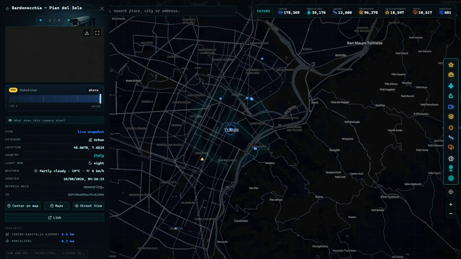
Turin traffic cameras on the A4 towards Milan
The A4 is the busiest axis in this article and the one where a camera check pays for itself. It leaves the Turin ring, runs past Chivasso, crosses the A26 near Santhià, passes Vercelli and Novara, and then joins the western approaches to Milan.
Two things break it, and they are seasonal opposites. In summer and on Friday evenings, the failure is volume, and it builds from the Milan end backwards. In autumn and winter, the failure is fog: the rice plain between Vercelli and Novara produces the thick, low visibility that closes lanes and drops speed limits, and it can sit there while Turin itself is clear. A roadside still image at two in the afternoon showing grey where a road should be is worth more than any regional forecast.
If your destination is the far end, the camera situation improves once you reach Lombardy, and we covered what is and is not visible there in the guide to Milan traffic cameras in real time. Between the two cities, treat the corridor as the unit and check both ends.
From the ARGOS ATLAS channel.
Getting to Caselle airport without guessing
Torino-Caselle sits north of the city, reached from the northern arc of the ring. The mistake people make is watching the airport when the problem is almost always the ring itself: the airport road is short and the queue that makes you late forms kilometres earlier, at the junction where long-distance and commuter traffic collide.
There is a second thing the map does well here, and it has nothing to do with cameras. Caselle is one of the 47,927 airports carried in the layer (count as of August 2026), and aircraft broadcasting ADS-B appear over Piedmont in the live flight layer. If you are collecting someone, watch the inbound aircraft turn onto final and then add your own road time on top, rather than trusting a scheduled arrival hour. Our guide on how to track planes in real time explains what that layer shows and what it silently leaves out. When weather closes the field, you will see it as aircraft breaking off the approach and heading elsewhere, usually towards Milan, before any board updates.
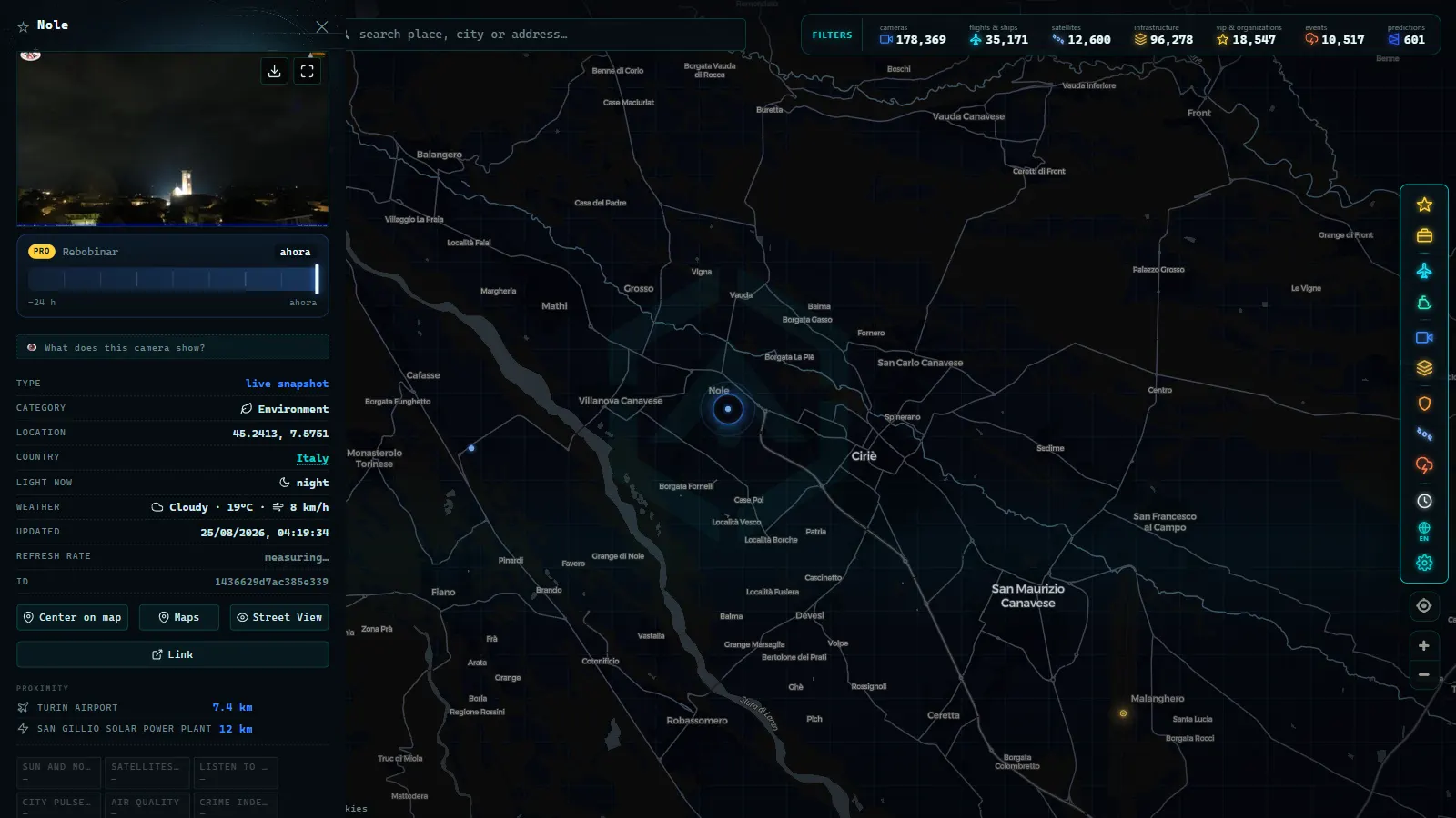
Turin traffic cameras and the ZTL: why the centre stays private
The historic centre is a restricted traffic zone on weekday mornings, with camera gates at each entry point. Those gates are cameras, but they belong to a different legal family: they read number plates and identify vehicles, so they fall under data protection rules that make publication impossible. A motorway camera pointed at a lane from a distance identifies nobody, which is precisely why it can be published. Check the city's official page for the current active hours and exemptions before you drive in, because they change and no live map will tell you.
One more thing worth knowing before you blame the map: public traffic cameras fail constantly. Frozen frames, black rectangles, images stuck on last night. If a camera on your route looks wrong, our page on why a traffic camera stops working covers how to tell a dead feed from a dark road.
What the ARGOS map shows for Turin, layer by layer
| Layer | What you get around Turin | Useful for | Honest limit |
|---|---|---|---|
| Public cameras | Motorway and interurban units where the operator publishes them. No verified municipal city feed (August 2026) | Checking a corridor before leaving | Pan the corridor itself; do not expect a street view of the centre |
| Live flights | Aircraft over Piedmont, approaches and departures at Caselle | Airport pickups, spotting diversions | ADS-B only; non-broadcasting and filtered aircraft are invisible |
| Airports | Caselle plus the smaller Piedmont fields, part of 47,927 worldwide | Knowing what is where, and the alternates | Static reference data, not live operations |
| Power infrastructure | Substations and plants across the industrial belt, part of 34,936 worldwide | Context on the corridor you are driving | No live load or status |
| Ports and ships | Nothing local; the nearest coast is Liguria | Freight context for the A6 flow | Turin is inland, and the map says so |
All product totals above are counts as of August 2026, across the full catalogue of 200,000+ cameras rather than Italy alone.
Heading for the Alps: the other reason to check Turin
Turin is a gateway city. The A32 climbs towards the Fréjus tunnel and France, the A5 runs north towards the Aosta valley and Mont Blanc, and the old pass roads above the Susa and Chisone valleys carry the ski traffic. From November onwards, your trip out of Turin is decided in the mountains, not on the ring: chain requirements, closures and queues at the tunnel portals. The method for checking that kind of road before committing is the same one we set out for mountain pass cameras and snow on the road, and it applies here without changes.
A five minute check before you drive
- Open the map over your corridor, not over Turin. Cameras follow roads, not city labels.
- Look for camera icons along the stretch you will actually use, and open the two or three closest to the known pinch points.
- Read the timestamp on the image. An old frame is a broken camera, not a quiet road.
- In autumn and winter, check a camera on the Vercelli to Novara plain for fog before committing to the A4, and a mountain camera before committing to the Alps.
- If you are meeting a flight, add the live aircraft position to the equation and leave when it is on approach, not when the schedule says so.
None of this makes Turin a camera-rich city. It is not one, and the useful version of this page is the one that says so on the first line. What the map gives you here is the corridor, the airport, the aircraft and the infrastructure around them, which is enough to answer the only question that matters at eight in the morning: do I leave now, or do I wait twenty minutes.
Frequently asked questions
Are there live traffic cameras for Turin city centre?
Not publicly. The city's mobility control room operates a dense urban network (junctions, bus lanes, restricted zone gates), but those images are used for signal timing and enforcement and are not streamed. As of August 2026 there is no verified public street-level camera for Turin inside ARGOS ATLAS either, and we would rather say so than show you a webcam pointed at a rooftop and call it traffic.
Is the ARGOS ATLAS map free, live and usable without registration?
Yes. No account, no email, no trial. You open the map and the layers load: public cameras where operators publish them, live aircraft, ships, airports, power infrastructure. The camera images come from their official operators and refresh at whatever rate that operator sets, so what you see is as live as the source allows.
What is the best way to check the A4 from Turin to Milan before driving?
Check the corridor rather than the two cities. Pan the map along the A4 between Turin, Vercelli, Novara and the Milan ring and see which roadside cameras are carried on your stretch. In autumn and winter add fog to the plan: the plain between Vercelli and Novara is where visibility collapses, and a camera image tells you that faster than any forecast.
Can I see flights landing at Turin Caselle airport?
Yes, through the live flight layer rather than a camera. Caselle is one of the 47,927 airports in the map (count as of August 2026), and aircraft broadcasting ADS-B show up on approach, so you can watch an inbound turn onto final before you leave to collect someone. Aircraft that do not broadcast, or that are filtered by the source, will not appear.
Why do Italian cities publish fewer traffic cameras than the UK or the US?
It is an institutional habit, not a technical limit. British and American road agencies treat the camera image as a public service and publish it by default, which is why our map carries 820 TfL JamCams in London and 2,976 from New York's 511 system (counts as of August 2026). In Italy, urban cameras sit with municipal police and mobility departments, where the default is closed, and motorway images stay with each concessionaire's own channels.
- Bologna traffic cameras: A1, A14 and Marconi airport
- Bari traffic cameras: the 3 ways into the city, live
- Genoa Traffic Cameras: A10, A7, A12 and the Port Live
- Catania Traffic Cameras: Live Views of the Ring Road and Etna
- Brescia Traffic Cameras: the A4 Corridor and Lake Garda
- Illinois Traffic Cameras: 2,157 IDOT Views Beyond Chicago