Blog · Traffic cameras
Bari traffic cameras: the 3 ways into the city, live
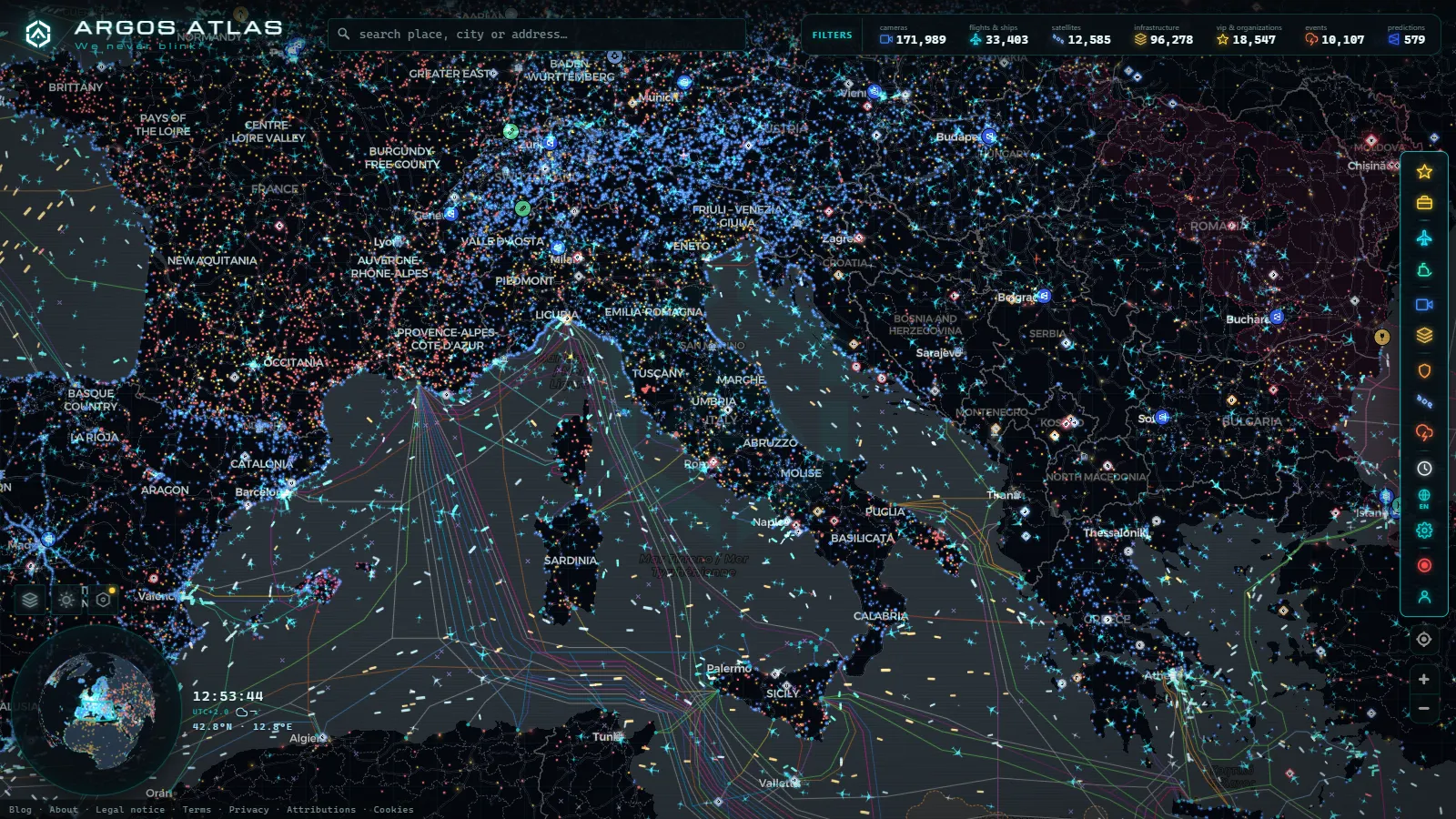
Bari is the last big Italian city before the Adriatic stops being a coastline and becomes a ferry route. Almost everything that moves through it passes one of three places: the SS16, which doubles as the city's ring road; the ferry terminals pointed at Greece and Albania; and Karol Wojtyła airport, a few kilometres up the coast at Palese. Most pages about Bari traffic cover one of the three. This one covers all three, and it starts with what you will not find.
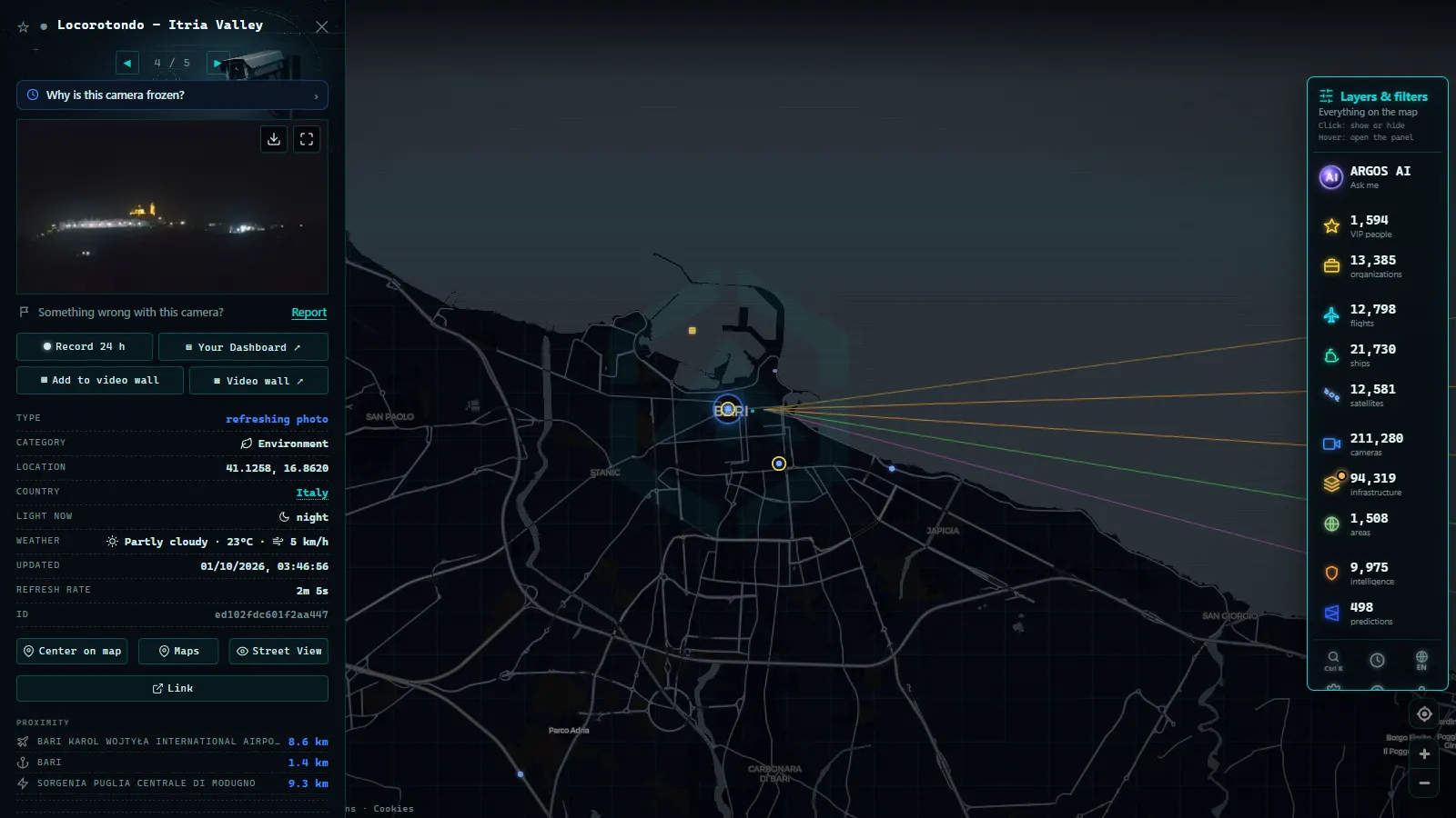
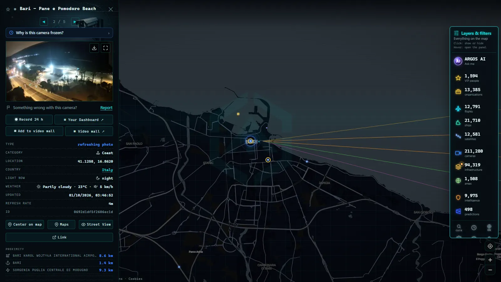
Southern Italy is thin on public traffic cameras compared with what drivers in Spain or the UK take for granted. There is no Italian equivalent of Spain's DGT, which publishes 1,945 roadside cameras as one national feed (count as of August 2026). In Italy the views are split between the motorway concessionaires, the state road agency and dozens of municipal systems, and most of the municipal ones are enforcement devices that never produce a public image. So the honest answer for Bari is that the city does not hand you a wall of live street views. What it does hand you, in real time and without asking for anything, is the sea traffic, the air traffic and the shape of the road network you are about to drive into.
Bari traffic cameras: what is public and what is not
Three separate bodies own the cameras around Bari, and they behave very differently.
The motorway concessionaires publish views along the tolled network. For Bari that mostly means the A14, the Adriatic motorway that comes down from Bologna and passes the city on its way to Taranto. These are usually low frame rate stills that refresh every few minutes, not video, and they exist to show conditions rather than to let you read a number plate.
ANAS, the state road company, runs the free trunk roads, and the SS16 through Bari is one of them. ANAS has been extending monitoring across its network for years, but its public output varies a lot from region to region, and Puglia is not among the better served.
The comune's own cameras are the ones people assume exist and mostly do not, at least not for you. The ZTL gates in the old town, the bus lane enforcement and the varchi elettronici are cameras in the literal sense, but they are legal instruments. Their footage goes to the municipal police and to nobody else, and publishing it would be illegal rather than merely inconvenient.
That is why you will not see a number for Bari anywhere on this page. We publish counts only where we can verify them, and for the municipal network in Bari we cannot. The wider picture across the country, motorway by motorway and pass by pass, is in our guide to traffic cameras in Italy.
The SS16 tangenziale: where Bari actually jams
The SS16 Adriatica runs most of the eastern side of Italy, but inside Bari it stops being a long distance route and becomes the tangenziale, the ring road every local uses instead of the city streets. It is free, it has no toll gates, and it carries commuters, airport runs, port lorries and beach traffic on the same asphalt.
The pattern is predictable once you know the exits. The northern suburbs (Santo Spirito, Palese, and beyond them Giovinazzo and Molfetta) feed the morning inbound flow, and the airport exit sits in that same northern stretch. A bad morning on the SS16 and a tight check in time are therefore the same problem, not two different ones. Going the other way, the southern exits around Japigia and Bari Sud carry the weekend traffic toward Mola di Bari, Polignano a Mare and Monopoli, and in August that is the stretch that fails first. September then drops the Fiera del Levante on the western side of the city for the best part of two weeks.
The A14 matters here even though it is a different road. If you are arriving from Foggia or from the north, you leave the motorway and land on the tangenziale, which is why an incident on the SS16 backs traffic up onto a road that is not the SS16.
The port of Bari: ferries to Greece and Albania in real time
This is where the map earns its place, because the port is the one access point with genuinely live, complete coverage. Every ro-pax ferry and cruise ship in the harbour broadcasts AIS, and AIS is public by design.
Bari's ferry business points east and southeast: Durrës in Albania, Igoumenitsa, Patras and Corfu in Greece, Bar in Montenegro, Dubrovnik in Croatia. Most of the Albanian and Greek services are overnight crossings, which gives the terminal two rhythms a day: a long loading afternoon, then a burst of vehicles rolling off at dawn and straight onto the ring road.
On the map you get each vessel's name, speed, heading and position, updating continuously. Read the destination field with care: it is typed in by the crew, nobody verifies it, and it is often abbreviated or left over from the previous voyage. The position is machine generated and reliable, the text next to it is a human note. How AIS works, and what it does not tell you goes through the failure modes in detail.
Bari is one of 1,081 mapped ports, inside a vessel layer carrying 22,937 ships at a typical moment (counts as of August 2026).
From the ARGOS ATLAS channel.
Karol Wojtyła airport: reading arrivals over Palese
Bari's airport sits between the coast road and the sea at Palese, a few kilometres northwest of the centre. That geography is unusual and useful: from the northern stretch of the SS16 you can watch the approaches while sitting in the traffic those same flights are about to add to. It is a low cost heavy field, with a lot of movement to and from Albania, Romania, Poland, Germany and the UK, plus the domestic runs up to Milan and Rome.
ADS-B does for aircraft what AIS does for ships: the aircraft broadcasts its own position and anyone with a receiver can read it. On the map that means callsign, altitude and track, refreshing continuously, against a layer of 47,927 airports (count as of August 2026). At Bari it answers two practical questions: whether the aircraft due to operate your flight has actually left its previous airport, and whether the field is currently working its arrivals over the water or over the northern suburbs.
What it will not answer: gate changes, security queues, baggage, or the status of a flight that has not taken off yet. An aircraft that is not in the air is not in the data. Watching aircraft in real time explains how to read a track properly.
What you actually get at each point around Bari
| Access point | What covers it | How often it updates | What it will not tell you |
|---|---|---|---|
| SS16 tangenziale | State road camera stills, uneven across Puglia | Minutes apart | Anything street level inside the city |
| A14 north of Bari | Motorway concessionaire cameras | Minutes apart | Queue length; a still is a snapshot |
| Port of Bari | AIS positions of ferries and cruise ships | Continuous | Whether check in has closed; destination text is crew typed |
| Bari airport (BRI) | ADS-B tracks plus the airport layer | Continuous | Terminal queues, gate changes, flights still on stand |
| City centre and ZTL | Nothing public | Never | Enforcement footage is not published, by law |
How to check Bari before you drive or sail
Open the live map and put the Adriatic coast on screen with Bari roughly in the middle. The harbour shows up immediately as a cluster of vessels, the airport as a thin stream of tracks along the coast.
The most useful trick is reading speed instead of labels. A ferry showing 0.1 knots alongside the quay is loading. One showing eighteen knots and a heading east of the harbour has sailed, whatever the operator's website still says. If you want to know whether tonight's crossing to Durrës is running, look at where the ship physically is: if it has not arrived from Albania yet, it is not leaving on time.
For the road, do the check the evening before rather than on the morning itself. Stills on the SS16 and the A14 tell you the shape of the flow, not the precise queue, so what you are looking for is the direction that is already loaded, not a minute by minute count.
Bari, Naples and the rest of the Italian south
Bari behaves like the rest of the Mezzogiorno on this front: heavy real traffic, thin public imagery. Naples has more published views and a busier port, and the same honesty problem applies there, which is why we wrote out what you really see on the Naples cameras. Sicily is thinner still, and the pattern in Palermo, where the port carries the coverage is almost exactly Bari's.
The conclusion is the same in all three cities. If you came looking for a live street view of Corso Cavour, nobody has it and we are not going to pretend otherwise. If you came to find out whether the ring road is loaded, whether your ferry has sailed and whether your aircraft is on its way, that is all open data, it is all on one page, and it costs nothing to look.
Frequently asked questions
Are there public live traffic cameras in Bari?
Not in the way drivers in Spain or the UK expect. The motorway concessionaire publishes stills along the A14 and ANAS covers parts of the state road network, but Puglia is unevenly served and the comune's own cameras (ZTL gates and bus lane enforcement) are legal instruments whose footage is never published. We do not give a camera count for Bari because we do not have one we can verify.
Is the map free, live and usable without registration?
Yes to all three. ARGOS ATLAS opens straight into the map with no account, no email and no trial. The ship and aircraft layers are live positions, not replays, and the camera views refresh at whatever rate their operator publishes them.
Can I see the ferries leaving Bari for Greece and Albania in real time?
Yes. Every ro-pax ferry and cruise ship in the harbour broadcasts AIS, so you get name, speed, heading and position updating continuously. Bari is one of 1,081 mapped ports and sits inside a vessel layer carrying 22,937 ships (counts as of August 2026). The destination text next to a ship is typed by the crew and is not verified, so treat it as a note rather than a schedule.
Can I check whether my inbound flight to Bari airport has left yet?
If the aircraft is airborne and transmitting ADS-B, yes: you can see the aircraft that is due to operate your flight while it is still on its previous leg. What you cannot see is anything that has not taken off, plus gate changes, security queues and baggage, none of which appear in any open data feed.
What is the best way to check the SS16 before driving south in August?
Look at the southern side of the tangenziale, around the Japigia and Bari Sud exits, because that is the stretch that fails first when the coast road toward Mola, Polignano and Monopoli fills up. Combine whatever stills are available with the time of day: the southbound weekend build starts far earlier than most visitors expect.
- Genoa Traffic Cameras: A10, A7, A12 and the Port Live
- Catania Traffic Cameras: Live Views of the Ring Road and Etna
- Brescia Traffic Cameras: the A4 Corridor and Lake Garda
- Illinois Traffic Cameras: 2,157 IDOT Views Beyond Chicago
- Washington State Traffic Cameras: I-5, 3 Passes and Ferries
- 511PA Traffic Cameras: I-76 and the 4 Turnpike Tunnels