Blog · Traffic cameras
Brescia Traffic Cameras: the A4 Corridor and Lake Garda
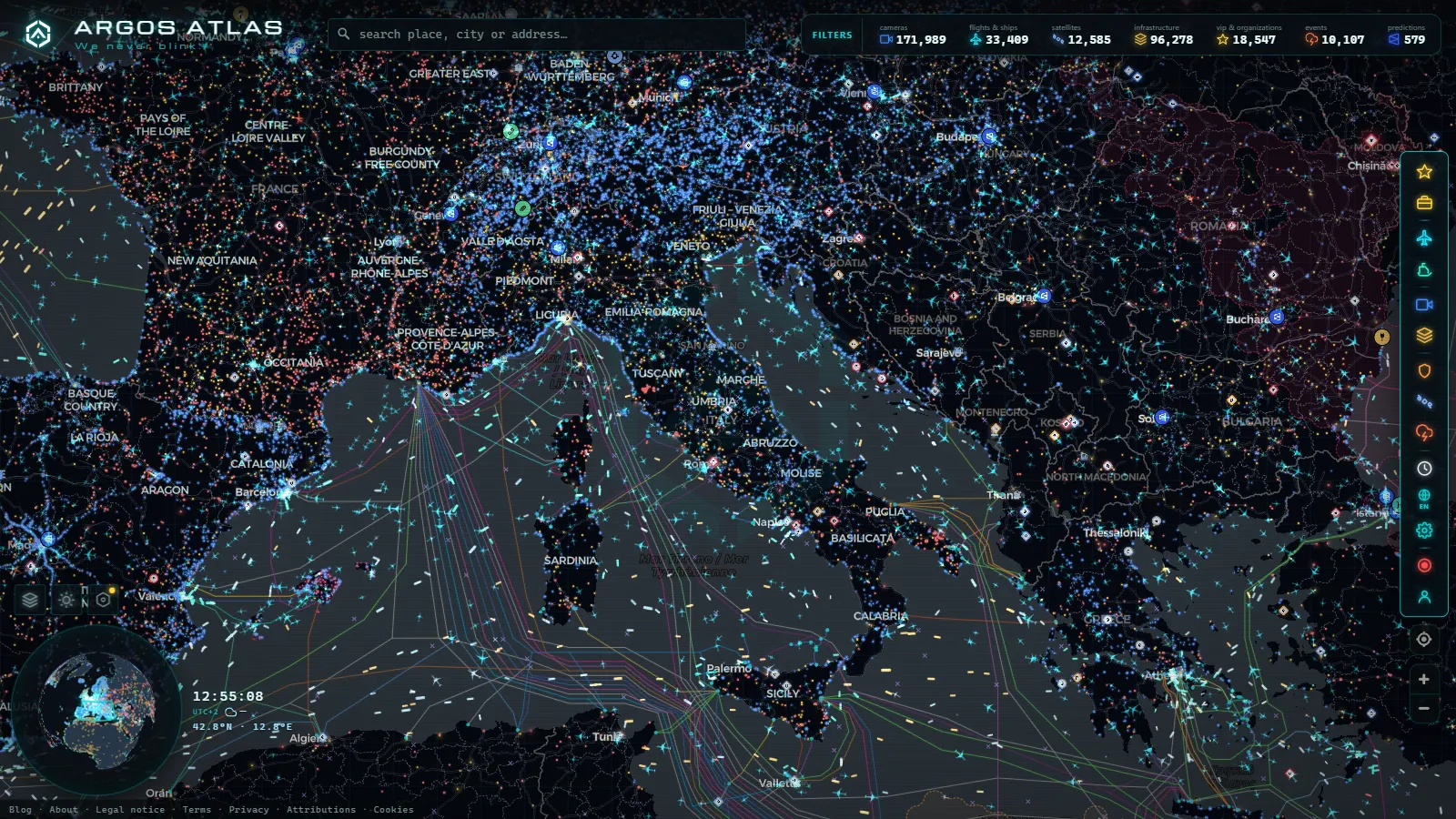
Brescia is where the A4 stops behaving like a Milan commuter road and starts behaving like a transit corridor. Everything moving between Lombardy and Veneto by road passes through here, the Franciacorta hills sit on one shoulder of it, and the southern tip of Lake Garda hangs off the eastern exits. If you are watching traffic in this part of Italy, you are really watching four flows that only look like one thing on a map: long distance motorway freight, the ring of trunk roads around the city itself, the seasonal push toward the lake, and the valleys climbing north into the Alps.
Those four congest at different hours, for different reasons and in different months. A national overview will not tell you that, and a Milan page will not either, because by the time the traffic reaches Brescia its composition has changed entirely. This is a practical guide to what the public cameras along this corridor actually show, which stretches are well covered, and which ones are effectively blind.
What the Brescia traffic cameras actually show
Italy does not have one national camera network. What you get here comes from a short list of operators who happen to publish: the motorway concessionaires that run the A4 and its connections, ANAS on the state roads, regional and municipal control rooms in and around the city, and tourism webcams that point at a square, a lake front or a valley floor and catch a road in frame. They were never designed as a single system, so they differ in refresh rate, framing, naming convention and reliability. The same junction can be a crisp motorway still from one operator and a distant low resolution wide shot from another.
The honest description of what a road camera gives you is this: congestion, weather and light. You can see whether a carriageway is moving or stacked, whether the asphalt is wet, whether fog is sitting on the plain (which it does often around here in autumn), and whether the queue extends past the frame. You cannot read a plate, identify a driver, count vehicles precisely or tell how long a jam has been building from a single image. If a camera looks like it would settle an argument about a specific car, it will not. The general mechanics of who runs these devices and why the images are public are covered in our guide to how traffic cameras work and why they are public.
The A4 corridor: Milan, Brescia and Verona
The A4 is the backbone and the reason this page exists. West of the city the exits come in quick succession around Ospitaletto and Rovato, then Brescia Ovest, Brescia Centro and Brescia Est spread the city's own traffic onto the motorway. East of Brescia Est the road runs across open plain toward Desenzano and the provincial boundary with Veneto, and that is the stretch where lake traffic and long distance freight are mixed into the same lanes.
Three things make this corridor different from the Milan ring. First, heavy goods share: this is a main route between the Milan area and the Adriatic side, and a feeder toward the Brenner axis via Verona, so the truck proportion stays high outside commuter hours and stays high on weekdays in general. Second, the alternatives are real. The A35 BreBeMi runs parallel to the south between the Milan area and Brescia and is usually the emptier option, while the old SS11 Padana Superiore shadows the motorway at surface level through a chain of towns. Third, the A21 branches south from Brescia toward Cremona and Piacenza, which pulls a distinct freight flow off the A4 and creates its own pinch at the junction.
What that means when you are looking at cameras: a red stretch on the A4 does not tell you whether the alternative is viable. Check a BreBeMi camera and an SS11 camera before you commit to the diversion, because a motorway queue that clears in fifteen minutes is often faster than a trunk road with traffic lights in every town. The pattern is the same one described in our piece on traffic cameras in Milan and what they do not show, scaled down to a corridor rather than a metropolitan ring.
Lake Garda changes the shape of the traffic
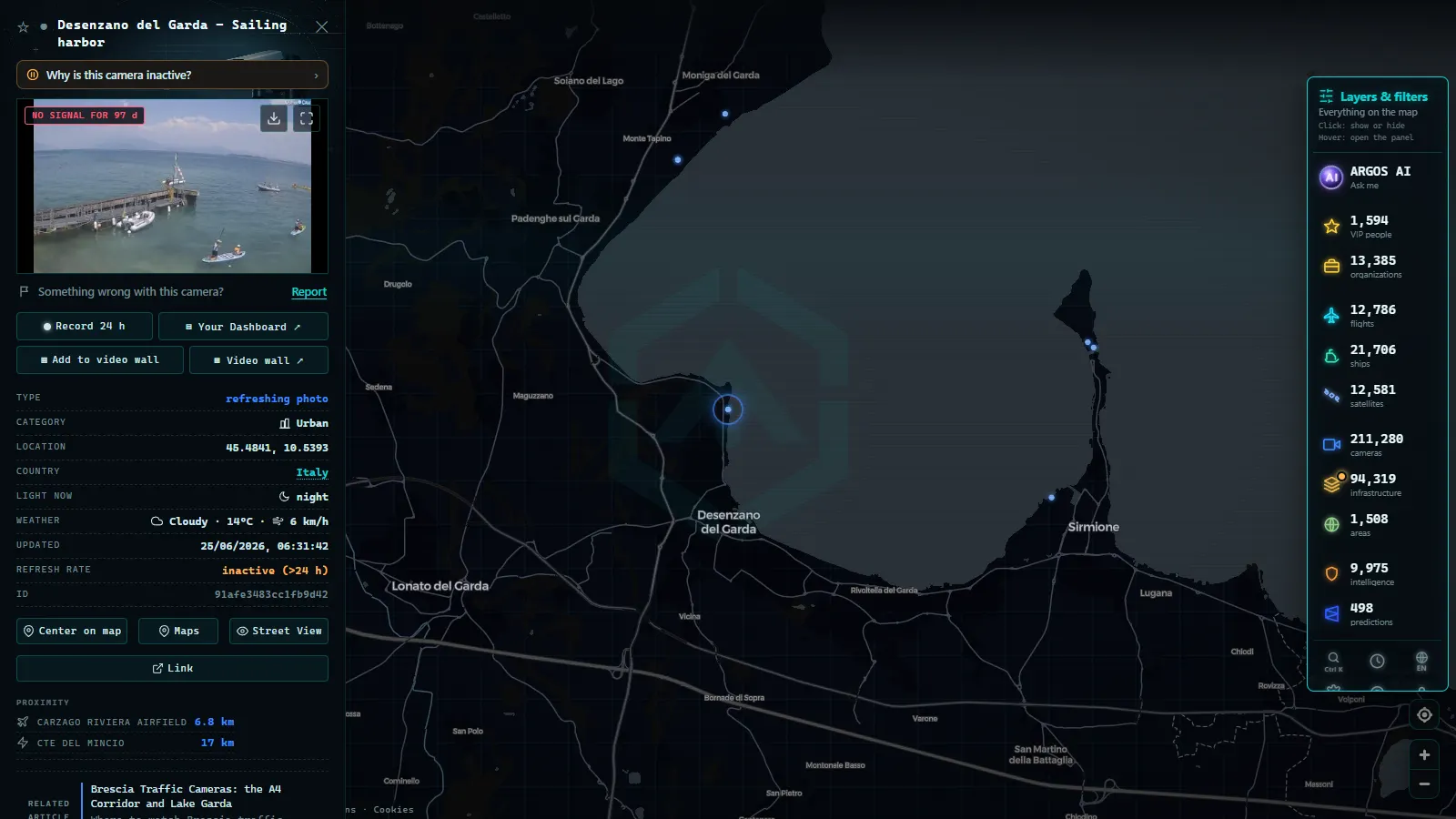
From roughly the start of the season to the end of summer, the eastern exits stop behaving like motorway junctions and start behaving like a funnel. Desenzano and the Sirmione peninsula draw the southern shore traffic, the SS572 heads for Salò and the western shore, and the SS45bis (the Gardesana Occidentale) climbs north through a long series of tunnels and rock galleries toward Gargnano and Limone.
The rhythm is predictable enough to plan around, even without exact numbers. Saturday morning is inbound and Sunday afternoon into evening is outbound, both concentrated at the same handful of exits. August is its own regime, and the mid month holiday week is the peak of it. Weekday middays in season are far calmer than any weekend hour. Outside the season the same roads are ordinary provincial traffic and the queues largely disappear.
Here is the honest part. The lake shore is the worst covered ground in this whole area. The Gardesana roads spend a lot of their length inside tunnels where nothing public looks, the towns are covered mainly by tourism webcams framed for scenery rather than for road state, and several of those webcams simply stop publishing out of season. Your best real signal for a Garda trip is a motorway camera before the exit, not a camera at the destination.
From the ARGOS ATLAS channel.
Corridor by corridor: what is watchable
Coverage in the table below is described qualitatively on purpose. Camera counts for individual Italian corridors move as operators add, retire and re-point devices, so a hard number would go stale faster than the road does.
| Corridor | What it links | When it backs up | Public camera coverage |
|---|---|---|---|
| A4 (Milan to Verona) | The main east to west transit route | Weekday peaks, holiday departures, incidents | Dense, the best on this list |
| A35 BreBeMi | Milan area to Brescia, parallel to the A4 | Rarely, it is the relief valve | Moderate |
| A21 (Brescia to Piacenza) | Southbound freight toward Emilia | Weekday freight hours, junction with the A4 | Moderate |
| Tangenziale and SS11 | City ring and the old surface route | Commuter peaks, and whenever the A4 diverts | Patchy, town by town |
| SS45bis Gardesana Occidentale | Western shore of Lake Garda | Summer weekends, holiday weeks | Thin, mostly tunnels |
| SS510 Val Trompia | Brescia north to Gardone and Lumezzane | Industrial commuting, morning and evening | Thin |
| SS42 Val Camonica and Tonale | North toward Aprica, Tonale and the passes | Ski weekends, snow events | Thin, better at the passes themselves |
North of the city: the valleys and the passes
Brescia has an alpine half that most traffic pages ignore. The SS510 runs up Val Trompia into a dense industrial belt around Gardone and Lumezzane, which produces a commuting pattern with almost nothing in common with the motorway below. The SS42 goes further, up Val Camonica through Darfo Boario toward Edolo, and from there to Aprica and the Tonale. In winter this becomes a snow question rather than a congestion question, and cameras stop being about queues and become about whether the surface is white.
That is a different kind of image to read, and it is worth knowing what to look for: fresh tracks versus untouched snow, whether the verge banks are cut back, whether the camera lens itself is fogged or iced (a very common false alarm). Our guide to watching mountain pass cameras for snow before you travel goes into how to read those frames without over interpreting them.
How to watch the Brescia traffic cameras on the map
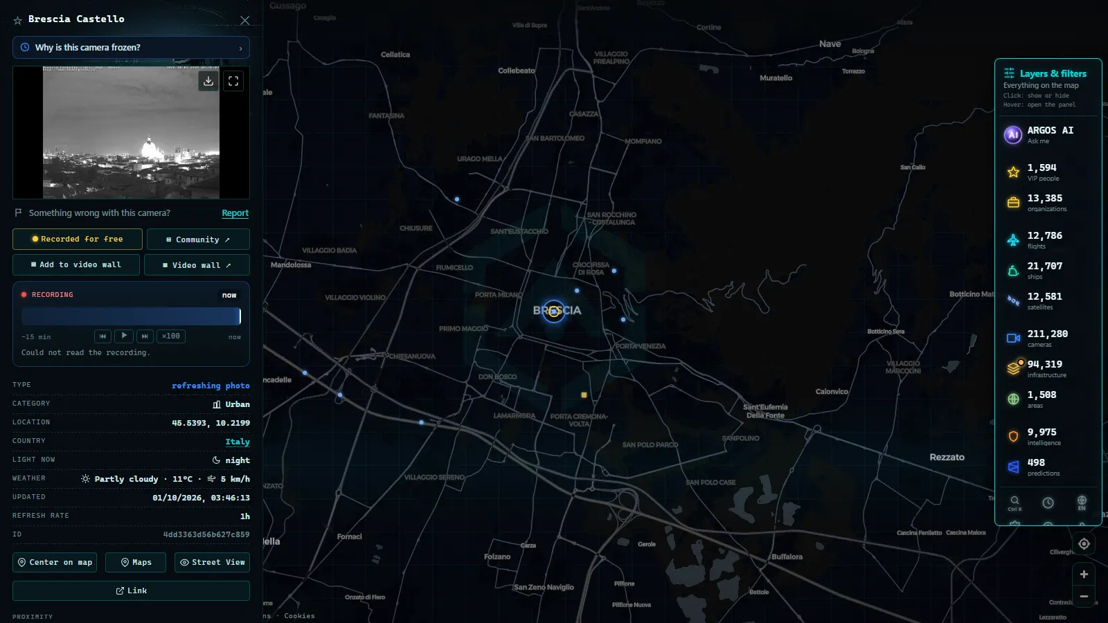
Open the live map and zoom to Brescia. Camera markers cluster at low zoom and split apart as you go in, so the A4 junctions resolve first and the valley roads appear as you keep zooming. Click a marker to open its feed with the operator name and the timestamp attached, which matters more than it sounds: the timestamp is how you tell a live corridor from a stalled one. The whole catalogue holds 200,000+ cameras worldwide (count as of September 2026), and the Italian entries sit in it alongside everything else, which is why the same click behaviour works whether you are looking at the A4 or at a motorway in another country.
Two habits make this genuinely useful rather than just interesting. First, always read two cameras on the same corridor before deciding anything. One frozen image proves nothing, two agreeing images are a signal. Second, when you find the pair that works for your regular route, keep the map URL: the view is encoded in it, so the same link reopens the same corridor at the same zoom tomorrow.
If a camera you rely on goes dark for days rather than hours, it is usually the source and not your browser. The failure modes, from maintenance windows to seasonal webcams that stop publishing, are laid out in why a traffic camera stops working. And for the wider picture of who publishes what across the country, including the concessionaires and the alpine passes, see the overview of traffic cameras in Italy.
A five minute routine before you drive through
- Start on the A4 camera nearest your entry point and read the timestamp before the image.
- Check a second camera further along your direction of travel to see whether the queue has an end inside the frame.
- If it looks bad, check the parallel option (BreBeMi to the west, SS11 at surface level) rather than assuming the diversion is clear.
- Going to the lake in season, check the motorway cameras before the exit, not the webcams at the destination.
- Going north into the valleys in winter, look at surface condition and lens state, and treat any single clear frame as provisional.
None of this replaces an official incident bulletin, and it is not meant to. What the cameras give you is the thing a bulletin cannot: the actual state of a specific stretch of asphalt, right now, in a place where the same road behaves like three different roads depending on the month.
Frequently asked questions
Is watching Brescia traffic cameras free, live and without registration?
Yes. The feeds are published by motorway concessionaires, ANAS and local traffic control rooms as public information, and our map serves them without an account, a paywall or an app. \"Live\" needs one caveat: most Italian road cameras are still images refreshed on a cycle of a few minutes, so what you see is recent rather than instantaneous.
Which stretch around Brescia has the best camera coverage?
The A4 itself, by a wide margin. It is the corridor the concessionaires instrument most heavily, so junctions, service areas and the approaches to the Brescia exits are the easiest places to get a usable picture. Coverage thins fast as you leave the motorway network for provincial roads.
Can I see the road along the shore of Lake Garda?
Only partly, and less than people expect. The Gardesana roads run through a long series of tunnels and rock galleries where no public camera looks, and the lakeside towns are covered mainly by tourism webcams pointed at squares and waterfronts that catch a road by accident. For the southern approach from Desenzano you are better served by the motorway cameras before the exit.
Do these cameras record number plates or identify drivers?
No. Traffic monitoring cameras are framed wide and compressed hard because their job is to show whether a carriageway is flowing. Plates are not legible and people are not identifiable at that scale. Enforcement systems are separate hardware, and their images are not published.
Why is a camera near Brescia showing an old or frozen image?
Usually the source itself has stalled: a maintenance window, a lost link at the roadside cabinet, or a seasonal webcam that stops publishing out of season. Check the timestamp, then check a second camera on the same corridor. If both are stale, the corridor is unwatched rather than empty.
- Illinois Traffic Cameras: 2,157 IDOT Views Beyond Chicago
- Washington State Traffic Cameras: I-5, 3 Passes and Ferries
- 511PA Traffic Cameras: I-76 and the 4 Turnpike Tunnels
- Nevada Traffic Cameras Live: I-15, I-80 and Sierra Passes
- Oregon Traffic Cameras on TripCheck: I-5, 3 Passes, US-101
- DriveBC Traffic Cameras: British Columbia's 5 Mountain Passes