Blog · Traffic cameras
Bologna traffic cameras: A1, A14 and Marconi airport
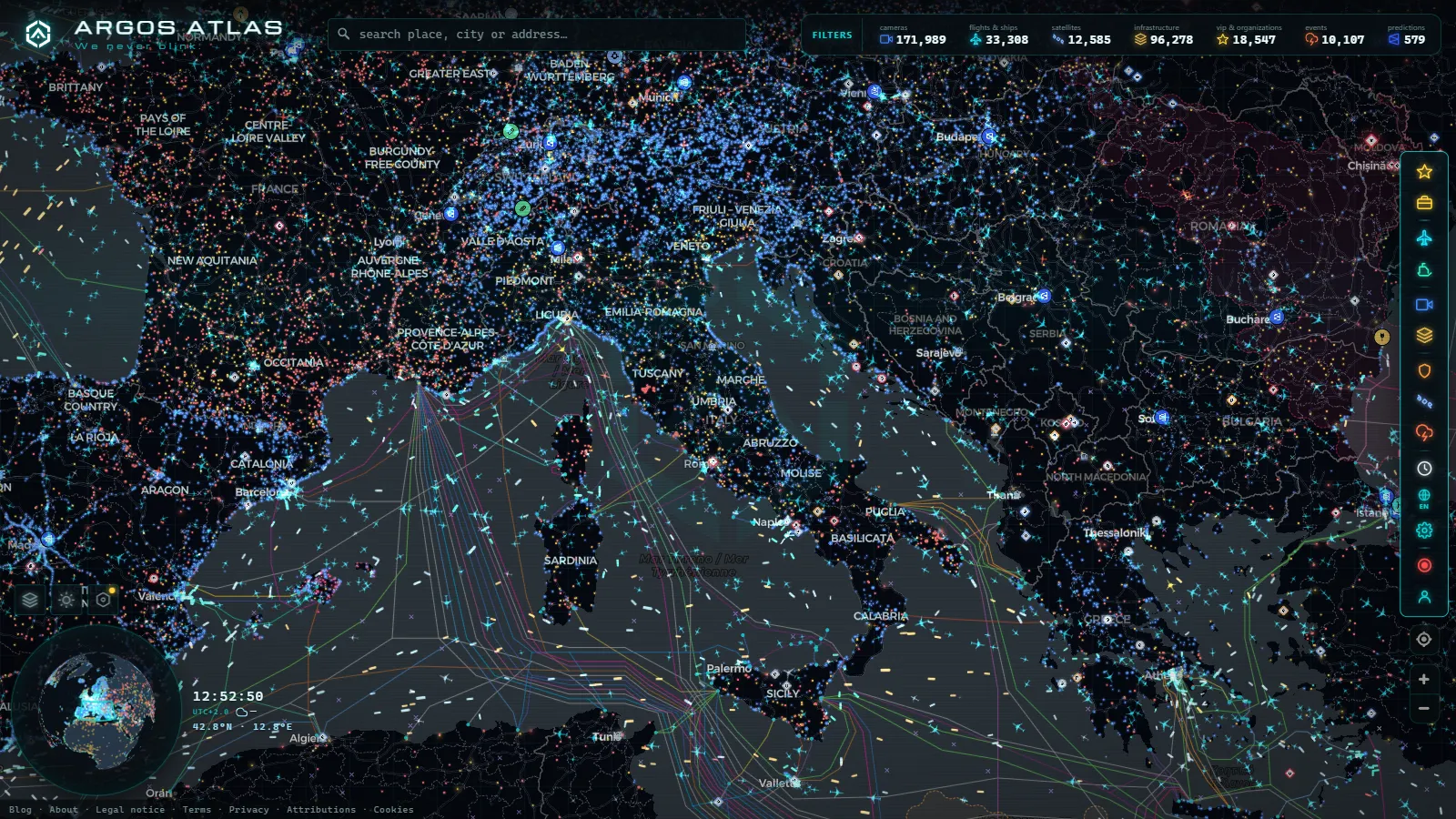
Bologna is not a city you drive to. It is a city you drive through. The A1 that links Milan with Rome and the A14 that runs the length of the Adriatic coast meet on its western edge, at the exact point where the Po Valley stops being flat and the Apennines begin. That geography has not moved since the Romans laid the Via Emilia along the same line. If a lorry leaves Naples for Munich, it passes Bologna. If half of Italy sets off on holiday on the same August Saturday, it queues in Bologna.
So this is a transit page, not a city guide. Nothing here about porticoes or tagliatelle. What follows is what you can check before you commit to a route through the junction: which cameras exist, who runs them, what the map shows around Guglielmo Marconi airport, and, just as important, what nobody publishes and you will not find anywhere.
Why every Italian traffic jam ends up in Bologna
Three long-distance corridors converge within about twenty kilometres of the city. The A1 arrives from the north through Modena and leaves to the south by climbing the Apennines towards Florence. The A14 splits off and turns southeast towards Rimini, Ancona and eventually Puglia. The A13 heads north to Ferrara and Padua. Add the A22 to the Brenner Pass and Austria, which meets the A1 just up the road at Modena, and you have most of Italy's north-south freight in one funnel.
The climb south is the fragile part. Between Sasso Marconi and the Mugello the motorway crosses the Apennine watershed, and this is the stretch that punishes fog, snow and any incident involving a heavy vehicle. When it closes, the alternatives are the old passes on the SS65 (Futa and Raticosa) and the SS64 towards Porretta, which are single-carriageway mountain roads with hairpins. A diversion that looks like twenty extra minutes on a map is often two hours in practice.
Freight makes it worse in a way that is easy to miss. The interport at Bentivoglio, north of the city, is one of the largest logistics hubs in the country, and the traffic it generates is not commuter traffic. It runs at night, at weekends and in August, exactly when you assumed the road would be empty.
| Corridor | Runs towards | Why it matters | Where it bites |
|---|---|---|---|
| A1 north | Modena, Milan | Main freight spine of the country | Merges and tolls near Casalecchio |
| A1 south | Apennine crossing, Florence | Only fast route to central Italy | Fog, snow, lorry incidents on the climb |
| A14 | Rimini, Ancona, the Adriatic | Carries the whole coast exodus | Splits from the A1 at the city's edge |
| A13 | Ferrara, Padua, Venice | Northeast connection | Feeds into the same ring |
| Tangenziale | The city itself | Local traffic and airport access | Shares its geometry with the motorway |
Bologna traffic cameras: what the map actually shows
Here is the honest part, and it is the reason this page exists. Italy has no single national camera feed of the kind the United Kingdom or several US states publish. Motorway views come from the concessionaire operating each stretch, mostly Autostrade per l'Italia, and state road views come from ANAS. Both publish images, both change their endpoints without warning, and neither guarantees anything to anybody.
The city itself is a different story. Bologna's municipal cameras exist, but the ones most people imagine, the ones watching the ZTL gates of the historic centre, are enforcement devices rather than public webcams. Their images are not published, and they should not be. If you came here hoping for a live view of Piazza Maggiore, the answer is no, and no amount of clicking will change it.
What you do get around Bologna is the motorway and airport layer, plus everything that is not a camera at all. The global catalogue holds 200,000+ cameras (count as of September 2026), and Italy's share of that comes from road operators, not from any city feed. We do not publish a verified camera count for Bologna, because we do not have one, and inventing a number would make this page worth less than the two minutes you spent reading it.
| Layer around Bologna | What you get | Honest limit |
|---|---|---|
| Motorway cameras | Still frames from operator feeds on the A1 and A14 corridors | Not video, and coverage is uneven between stretches |
| Airport view | Approach and apron context for Marconi | Depends on the source being up that day |
| Live flights | Aircraft overhead, out of 12,295 in the air worldwide at the August 2026 count | Positions depend on ADS-B receiver coverage |
| Airports | 47,927 in the catalogue, Marconi and every strip around it | Static reference, not operational data |
| Power infrastructure | 34,936 plants and substations worldwide | Reference layer, no live output figures |
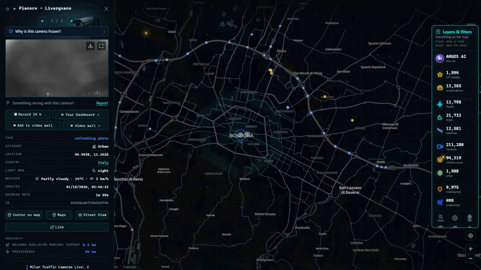
The A1 and A14 junction, corridor by corridor
The geometry catches out drivers who know Italy well. Around Bologna the A14 and the city's ring road, the Tangenziale, run side by side on the same embankment for most of the arc, the ring road's numbered exits doing the local work while the motorway carries the through traffic. From the driver's seat they look like one road, and in a sense they are, but you pay for one and not the other, and the exit you want is often signposted from only one of them.
The western end, at Casalecchio di Reno, is where the A1 hands over. It is the busiest decision point in the whole system: through traffic for the south, traffic for the ring and local traffic for the valley all sort themselves out within a short distance. The eastern end, at San Lazzaro di Savena, is calmer but does the same job for the Adriatic direction.
Widening the whole corridor has been discussed for years under the name Passante di Bologna. Treat any claim about its current state with suspicion, including from people who drive it weekly, and check the road operator's own bulletin rather than a forum post from two summers ago.
The practical trick is to stop thinking in city terms and start thinking in corridor terms. Open the live traffic camera map, follow the motorway line instead of the city outline, and click every camera icon along the stretch you plan to drive. Two frames twenty kilometres apart tell you far more about whether the road is moving than any single view of the ring road.
From the ARGOS ATLAS channel.
Getting to Guglielmo Marconi airport without a surprise
Marconi sits close to the city, northwest of the centre, off the ring road at the exit signposted for the airport. That proximity is a trap. Because it is close, people assume it is quick, and then they meet the Tangenziale at half past five on a Friday with a bag in the boot and ninety minutes to check-in.
The alternative is the Marconi Express, the elevated shuttle that connects Bologna Centrale station with the terminal in a few minutes and does not care about traffic at all. On a bad afternoon the train plus the shuttle beats a taxi, comfortably. This is exactly the sort of decision the map is good for: check the corridor before you choose, not while you are stuck in it.
The airport card is one of the most opened on the map, so it is worth knowing what sits inside it. Alongside the airport itself you get the aircraft overhead in real time, useful when you want to know whether arrivals are being held or sent elsewhere. Marconi is a busy secondary hub rather than a giant, so it does not show up in the usual rankings of Europe's busiest airports, but it moves a serious amount of freight, which again means movements at hours nobody expects.
Reading a Bologna traffic camera before you trust it
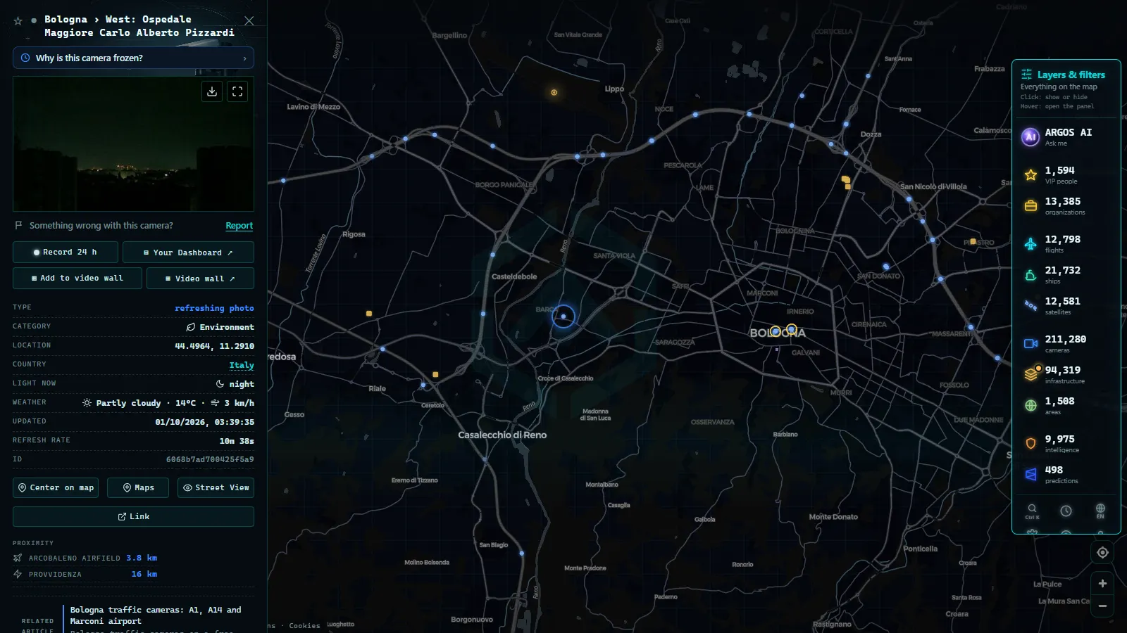
Every still frame carries a timestamp somewhere, and it is the first thing to look at. A frozen image from four hours ago showing an empty carriageway is worse than no image at all, because it feels like information.
Three things go wrong specifically here. Po Valley fog, which between late autumn and late winter can reduce a camera to a grey rectangle while the road underneath is perfectly open. Rain on the housing, which turns a night view into a smear of headlight bloom. And plain source failure, when an operator moves an endpoint and every downstream map goes dark until somebody notices. If a view you rely on has died, why a traffic camera stops working covers the usual causes and what to check instead.
When Bologna traffic cameras are worth checking
Not always, and pretending otherwise would be silly. Most of the year the junction absorbs its load without drama. The moments that justify opening the map are the August exodus weekends, when the A14 carries the entire Adriatic coast at once; Friday evenings all year round; fog season on the plain; snow on the Apennine crossing; and the big trade fair weeks, when the exhibition district on the northeast side fills every hotel and every lane around it.
If your route is wider than one city, the country-level picture beats any single view: traffic cameras in Italy covers the motorway concessionaires and the Alpine passes, and Milan traffic cameras does the same job for the other end of the A1. Bologna is the hinge between the two, which is precisely why it earns a page of its own.
Frequently asked questions
Is the Bologna traffic camera map free and live, and do I need an account?
It is free, it updates live and there is no registration of any kind. You open the map, click a camera icon on the corridor you care about and you get the latest frame the operator published. No email, no trial, no paywall on the road layers.
Can I watch Bologna city centre streets on a public camera?
No. The cameras most people picture in the historic centre are ZTL enforcement devices, and their images are not published to the public. What you can watch around Bologna is the motorway and airport layer, plus flights overhead. If a page promises you a live view of Piazza Maggiore, it is either a private webcam pointed at a hotel terrace or it is lying.
How many traffic cameras does the map have in Bologna?
We do not publish a figure, because we do not have a verified count for the city. The global catalogue holds 200,000+ cameras (count as of September 2026), and Italy's share comes from motorway and state road operators rather than a municipal feed. Any specific Bologna number you see quoted elsewhere is almost certainly invented.
What should I check before driving south from Bologna towards Florence?
The Apennine crossing, not the ring road. That climb is the fragile link: fog, snow and heavy vehicle incidents close it, and the alternatives are single-carriageway mountain roads over the Futa and Raticosa passes. Check two camera frames twenty kilometres apart on the corridor rather than one view near the city.
Is the ring road or the Marconi Express faster to the airport?
It depends on the hour, which is the point of checking first. The airport is physically close, so people assume the road is quick, then meet the ring road on a Friday evening. The elevated shuttle from Bologna Centrale ignores traffic entirely, so on a bad afternoon it wins comfortably.
- Bari traffic cameras: the 3 ways into the city, live
- Genoa Traffic Cameras: A10, A7, A12 and the Port Live
- Catania Traffic Cameras: Live Views of the Ring Road and Etna
- Brescia Traffic Cameras: the A4 Corridor and Lake Garda
- Illinois Traffic Cameras: 2,157 IDOT Views Beyond Chicago
- Washington State Traffic Cameras: I-5, 3 Passes and Ferries