Blog · Traffic cameras
Live Traffic Cameras in Italy: Autostrade A1 Autosole, ANAS Roads and Alpine Passes
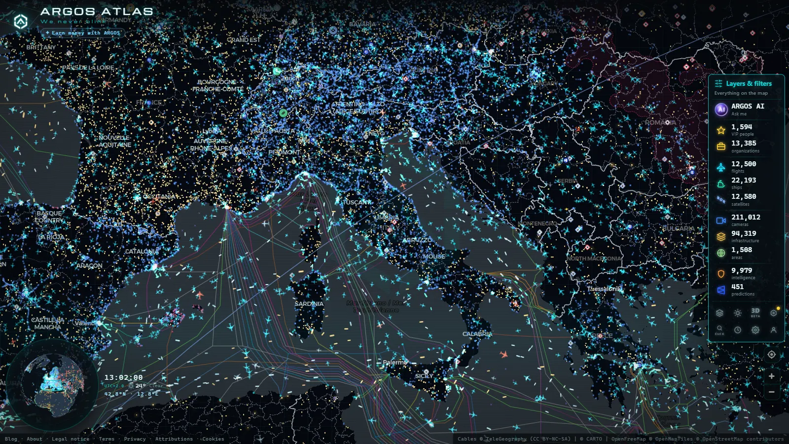
Italy's road network, watched from every angle
Italy operates one of the densest traffic camera networks in Europe. The combination of challenging terrain (the Alps to the north, the Apennines running the full length of the peninsula and two seas flanking its coasts) with exceptionally heavy tourist and freight traffic makes real-time monitoring a critical tool for authorities and travellers alike.
ARGOS ATLAS brings together cameras from Autostrade per l'Italia, ANAS and regional road operators on a single interactive map, letting you check road conditions before you leave and track them throughout your journey.
Autostrade per l'Italia: the toll motorway backbone
Autostrade per l'Italia (ASPI) is the privately managed concession operator responsible for roughly 3 000 km of toll motorways, including the most heavily trafficked corridors in the country.
The A1 Autosole: Milan to Naples
The A1, nicknamed the Autosole because it runs north to south following the sun's arc, is Italy's longest motorway at 754 km. It connects Milan with Naples via Bologna, Florence and Rome, carrying both long-haul and intense interregional traffic throughout the year.
Cameras along the A1 cover:
- The approaches to the Bologna junction, where the A13 from Padua and the A14 Adriatic motorway converge
- The Tuscan Apennines section between Roncobilaccio and Barberino, a mountain stretch prone to winter fog and snowfall
- The Variante di Valico, the modern alignment that replaced the historic route over La Porretta
- Both the northern and southern approaches to Rome's Grande Raccordo Anulare (GRA), the orbital ring road where the most persistent congestion in Italy occurs
- The final approach to Naples and the branches toward Caserta and the junction with the A3 toward Reggio Calabria
"On August weekends, the A1 between Florence and Rome can become a 200-kilometre car park. A live camera feed is worth more than any statistical forecast."
The A14 Adriatic: Italy's eastern corridor
The A14 stretches 743 km from Bologna to Taranto along the Adriatic coast. It is the logistics artery feeding the ports of Ancona, Pescara and Bari, and carries particularly intense heavy goods traffic. Cameras on this motorway are essential for detecting incidents on single-carriageway sections or in the frequent roadworks zones.
A7, A8 and A9: the approaches to Milan
Milan's motorway hub concentrates three major routes converging from the north:
- A7 (Milan-Genoa): the link to the port of Genoa and the Ligurian Riviera
- A8/A9 (Laghi): access to Lake Como and Lake Maggiore, with tourist traffic peaks every spring weekend
- A4 (Turin-Trieste): the east-west corridor across the Po Valley, linking the two extremes of northern Italy's industrial heartland
ANAS: the state road network
The Agenzia Nazionale per le Strade (ANAS) manages more than 32 000 km of state roads (Strade Statali, with the SS prefix), many of which serve as toll-free alternatives to the motorways. Its camera network is less dense than ASPI's, but covers strategic sections where road surface conditions can change rapidly.
The most monitored state roads include:
- SS1 Via Aurelia: the ancient Roman road running along the Tyrrhenian coast from Rome to La Spezia
- SS2 Via Cassia: the inland axis between Rome and Florence through the Tuscan hills
- SS7 Via Appia: the road descending south from Rome toward Brindisi along the original consular route
- SS36 del Lago di Como e dello Spluga: the access road from Milan to Lake Como and the Maloja Pass toward Switzerland
From the ARGOS ATLAS channel.
Alpine passes: critical monitoring in the winter season
The mountain passes linking Italy to its northern neighbours are vital control points for trans-Alpine traffic. Snow, ice, wind and avalanches can close them with little warning.
The Brenner Pass (A22)
The Brenner (1 374 m) is the busiest Alpine pass in Europe, with more than 50 million vehicles crossing each year. The A22 Brenner-Modena motorway traverses it and connects Innsbruck in Austria with the Po Valley. Brenner cameras are the most consulted in Italy between November and March, when snowfall can cause closures lasting several hours.
Managing traffic at the Brenner also requires coordination with Austrian authorities, who impose lorry circulation restrictions on weekends and public holidays. Live cameras let drivers verify whether restrictions are active before reaching the toll plaza.
The Simplon Pass (SS33)
The Simplon (2 005 m) connects the Piedmont region with the Swiss canton of Valais. It is a state road (not a motorway) and can close for consecutive days in winter. ANAS cameras on the Simplon show snow accumulation and surface conditions on the highest bends.
The St Gotthard approach (Italian side)
Although the Gotthard Base Tunnel itself lies in Swiss territory, the Italian approaches through the canton of Ticino are monitored from the trans-Alpine side. Cameras on the Italian shore, in the province of Como, show traffic backing up before entering the rail tunnel or crossing into Switzerland.
The Great St Bernard Pass
The Great St Bernard (2 473 m) connects the Aosta Valley with the Swiss canton of Valais. The road closes completely in winter (roughly November to May) but the parallel toll tunnel remains open year-round. Cameras show the condition of the tunnel approach and potential queues during the summer peak.
The Strait of Messina: where road meets sea
The Strait of Messina is not a road, but it is one of the most distinctive mobility bottlenecks in Europe. The crossing between Sicily and the Italian mainland is made by ferry (the long-promised bridge remains unbuilt) and cameras at the port areas of Villa San Giovanni and Messina show the ferry loading state, lorry queues and maritime traffic in real time.
This convergence of road and sea traffic in a channel barely 3 km wide makes the Strait of Messina one of the richest observation points on ARGOS ATLAS, where the traffic camera layer and the AIS shipping layer overlap on the same geographic frame.
How to use ARGOS ATLAS to plan journeys across Italy
ARGOS ATLAS lets you toggle independent layers over the base map. For effective monitoring of Italian roads:
- Enable the traffic cameras layer and centre the map on your area of interest, for example, the Bologna junction or the Brenner approach.
- Combine with the flights layer if you are heading to an airport: you can simultaneously check motorway access traffic and the airport's operational status.
- Check Alpine pass cameras before setting out in winter: the difference between a passable road and a closed one can materialise within hours.
- Use the satellite view to understand the geography around each camera and see why certain sections are prone to congestion.
The tool requires no registration and is completely free. Each camera displays its most recent available image with minimal latency, making it a reliable reference for real-time mobility decisions.
Data and sources
Images come from the public systems of Autostrade per l'Italia, ANAS, regional traffic agencies (including the Città Metropolitana di Milano and Regione Toscana) and Alpine pass operators. ARGOS ATLAS aggregates these sources without modifying the original data, offering a unified view that no individual source can provide on its own.
For the Strait of Messina, vessel position data is combined with terrestrial cameras using the AIS protocol (the same Automatic Identification System used by every commercial ship in the world) making the area a natural intersection of the platform's maritime and road monitoring capabilities.
Explore related coverage: traffic cameras in France and Switzerland complete the picture of trans-Alpine road monitoring across Western Europe.
Frequently asked questions
Can I watch the A1 Autosole between Rome and Milan in real time?
Yes. ARGOS ATLAS integrates cameras from Autostrade per l'Italia along the full length of the A1, Italy's longest motorway connecting Milan to Naples via Florence and Rome.
Are the Brenner Pass cameras available year-round?
Brenner cameras operate year-round. In winter they are especially valuable for spotting snowfall, ice and temporary closures before starting a journey over the Alps.
What is the difference between Autostrade and ANAS cameras?
Autostrade per l'Italia manages the toll motorway concessions, while ANAS operates the state road network (SS roads) with free access. Both networks run independent camera systems, both visible in ARGOS ATLAS.
- Live Traffic Cameras in Canada: Ontario 511, DriveBC, and Quebec 511
- Live Traffic Cameras in Australia: Transport for NSW, VicRoads, Queensland TMC and More
- Traffic Cameras in New Zealand: Waka Kotahi NZTA, Auckland, Wellington and Alpine Passes
- Live Traffic Cameras in Belgium: Wallonie, Vlaanderen and the Brussels Ring
- Live Traffic Cameras in Japan: NEXCO Expressways, National Police Agency and Road Sensors
- Traffic Cameras in the Netherlands: Rijkswaterstaat, A1, A2, A4 and the Amsterdam and Rotterdam Networks