Blog · Traffic cameras
Milan Traffic Cameras Live: 2 Airports, 1 Plant, 0 City Cams
Search for milan traffic cameras live and you get a wall of pages promising the Duomo, the Navigli and the tangenziali in real time. Click through and most of them are one tourist webcam pointed at a cathedral, plus a list of links that died years ago. This page does the opposite. It tells you what a live OSINT map actually shows over Milan, layer by layer, and it tells you what it does not show, which for this particular city is the more useful half of the answer.
Short version: there is no public municipal street camera feed for Milan the way there is for London or Madrid. What there is over Milan is a great deal of live air traffic, three airports worth of movement, and a mapped grid of power infrastructure that includes the plant at Tavazzano, southeast of the city. That is a real answer, and it is more than most pages will give you.
The essentials, in 20 seconds
- Zero: Milan publishes no public municipal traffic camera feed, Area C and Area B cameras only feed enforcement
- Three airports: Malpensa, Linate and Bergamo Orio al Serio generate the city's live, uninterrupted aircraft traffic
- Three tangenziali: the A51 east, A50 west and A52 north ring Milan as motorways, not city streets
- Tavazzano: the thermal power plant southeast of the city sits on the map as a fixed point, not a live reading
- 1,412 and 1,443: the open camera counts for London and Madrid, the kind of public network Milan does not have
Milan traffic cameras live: the honest answer first
Milan is covered in cameras. Area C, the congestion charge inside the Cerchia dei Bastioni, is enforced by camera gates on every entry point. Area B, the low emission zone that wraps almost the entire municipality, works the same way. Add bus lane cameras, red light cameras and the enforcement gantries on the ring, and the city has one of the denser camera estates in southern Europe.
None of it is a public stream. Those are enforcement systems: the images feed a processing chain that issues fines, and the operator has neither a reason nor an easy legal route to publish them openly. The difference between Milan and a city you can watch is administrative, not technical. The hardware could stream tomorrow. The mandate does not allow it. Where that line sits, and why some networks end up public while others never do, is the subject of our piece on traffic cameras, privacy and what the law actually says.
Compare with the cities that did choose to publish. The map carries 1,412 cameras across the London area and 1,443 across metropolitan Madrid (counts as of August 2026), because Transport for London and the Spanish DGT both treat their camera networks as an open traffic information service, free for anyone to watch. Milan has no equivalent. If a site shows you a grid labelled "Milan street cams", look closely: it is hotel and piazza webcams, pleasant to watch and useless for deciding whether to take the tangenziale est.
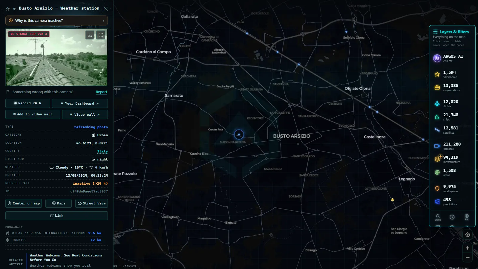
What you can actually see over Milan on the map
Here is the layer by layer picture, with no promises attached to the rows that are empty.
| Layer | What Milan gives you | Live? |
|---|---|---|
| Aircraft (ADS-B) | Everything airborne over Lombardy: callsign, altitude in feet, speed in knots, heading and track | Yes, continuous |
| Airports | Malpensa, Linate and Bergamo Orio al Serio as fixed points with codes and runway data | Points fixed, traffic live |
| Power infrastructure | Plants, substations and transmission around the metro area, Tavazzano included | Mapped, not live |
| Motorway cameras | Whatever the Italian motorway operators publish on the autostrade, never a city street | Where the operator allows it |
| Municipal traffic cameras | Nothing. Milan does not publish any | No |
| Ships (AIS) | Nothing. Milan is inland, the nearest AIS traffic is on the Ligurian coast | No |
For scale, so you know what you are querying when you pan over Lombardy: the map holds 200,000+ cameras, 47,927 airports and 34,936 power assets, with 16,377 aircraft in the air at the moment these figures were taken (all counts as of August 2026). Milan contributes to three of those four numbers and to none of the first one.
From the ARGOS ATLAS channel.
The tangenziali and the approaches: where Milan actually jams
Milan does not have a single ring. It has three arcs run as motorways: the A51 to the east (Agrate down past Linate to San Donato), the A50 to the west (Assago up through Rho), and the A52 closing the north (Rho to Sesto San Giovanni). They are concessionaire roads, which is why they behave, legally, like the rest of the autostrade rather than like city streets.
The pressure points are predictable if you know the city. The eastern arc absorbs everything coming off the A4 from Venice and Bergamo plus the Linate traffic, and it is the arc that fails first on a weekday morning. The A8 dei Laghi carries the Malpensa and Varese flow and turns into a wall on Friday afternoons when the lakes exodus starts. The A7 toward Genoa does the same in summer, when half the city leaves for the Ligurian coast. The A1 south toward Bologna and the A9 north toward Como and the Swiss border complete the star.
What this means practically: the traffic you can hope to watch around Milan is ring and approach traffic, published by motorway operators such as Autostrade per l'Italia and ANAS, never a camera on Corso Buenos Aires. Our country level guide to Italian traffic cameras covers who publishes what across the whole network, including the Alpine passes. Treat this page as the Milan drill down: the operators are the same, the coverage is motorway shaped, and the city itself is a blank.
And when a motorway feed you were watching goes dark, that is usually maintenance or a dead uplink rather than censorship. We collected the common causes in why a traffic camera stops working.
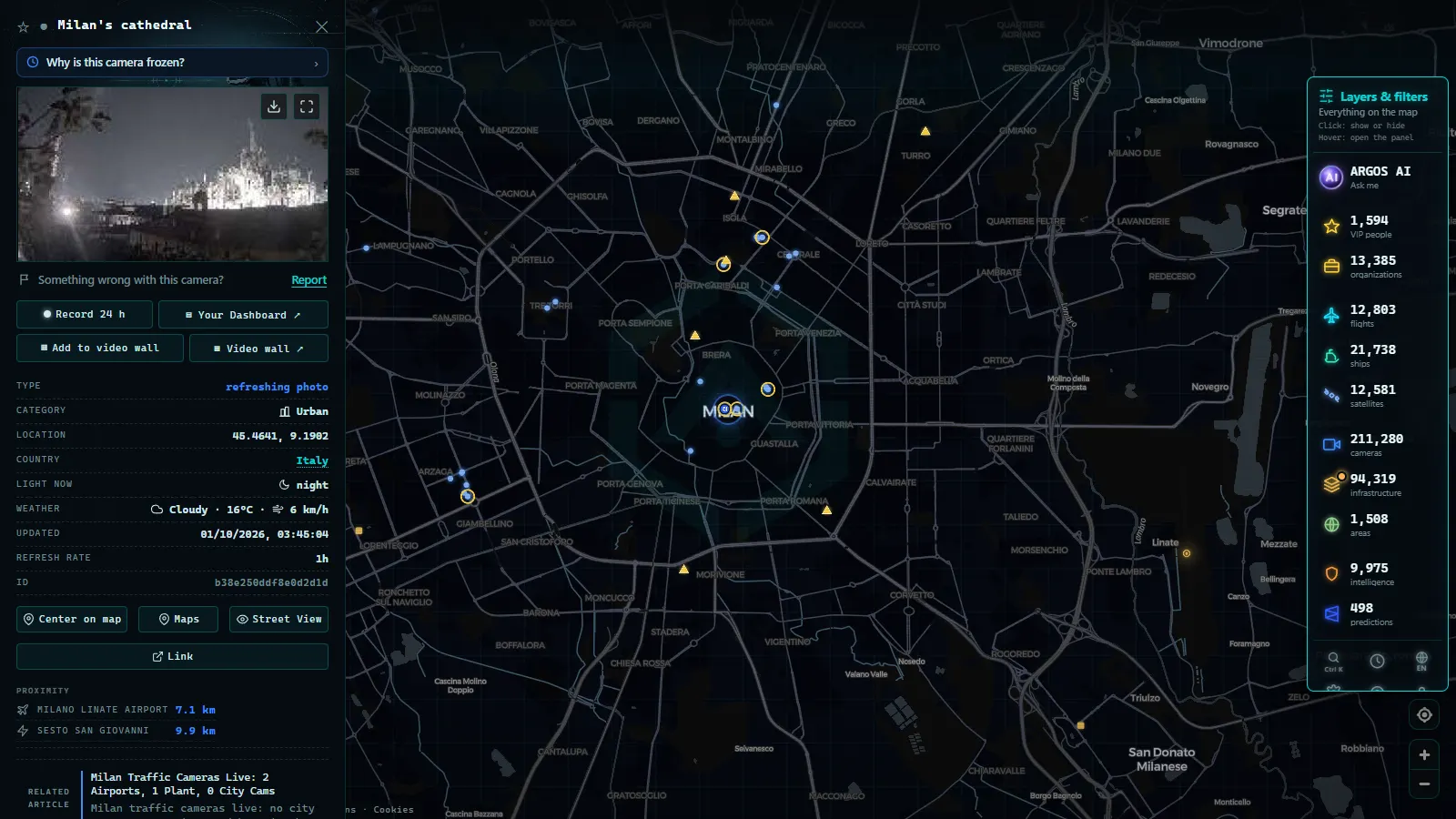
Malpensa and Linate: two airports and live flights you can verify
This is where Milan becomes genuinely watchable. Air traffic is the one live signal over the city that nobody can switch off, because it is broadcast by the aircraft themselves.
Malpensa (MXP) sits northwest of the city toward Varese, far enough out that the airport express is part of the journey. It is the long haul and cargo airport for northern Italy, which gives it the most interesting traffic on the map: intercontinental arrivals stacking over Lombardy, freighters at hours when the passenger terminals are quiet, and the occasional diversion when fog closes something else in the Po valley.
Linate (LIN) is the city airport, a short taxi east of the centre and hemmed in by the ring road. Its approaches are low, short and constant during business hours, and if you are standing anywhere near the eastern tangenziale you are underneath them. On the map this shows as a dense stream of aircraft appearing and vanishing within a small radius.
Bergamo Orio al Serio (BGY) is the third airport that serves Milan in practice even though it carries another city's name. Low cost traffic, northeast, and a meaningful share of everyone who says they flew to Milan.
Click any aircraft and you get its callsign, altitude in feet, ground speed in knots and its track. That is enough to answer the question most people actually have (is my flight in the air, where is it, is it early) without an account. If you want the method rather than the Milan specifics, start with how to watch aircraft in real time, and for how Malpensa compares with the giants, the busiest airports in Europe.
Tavazzano: the power plant southeast of the city
Drive southeast toward Lodi and you pass a set of stacks visible from the road: the thermal generation site at Tavazzano e Villavesco, one of the significant power installations in the Milan hinterland. On the map it is a point in the power layer, sitting inside a web of substations and transmission that feeds the metropolitan area.
Be clear about what that point is and is not. It is location, category and context: you can see where generation sits relative to the city, how the grid fans out toward the Po valley, and which substations mediate between them. It is not telemetry. The map does not show megawatts, load or whether a unit is running tonight. Anyone presenting a static infrastructure point as a live output reading is overselling, and that is exactly the habit this site exists to avoid.
Reading Milan on the map in under a minute
- Open the live map and centre on Milan. No account, no trial.
- Turn off every layer except aircraft first. Lombardy fills immediately and you get an honest sense of what live actually means here.
- Zoom to the eastern edge for Linate approaches, then northwest for the Malpensa stack. The two patterns look nothing alike.
- Switch on power infrastructure and follow the line southeast until Tavazzano appears, then trace the substations back toward the city.
- Only then look at cameras. You will find motorway coverage on the Italian network and nothing municipal. That absence is the accurate result, not a bug in your search.
What would have to change for real Milan traffic cameras live
One decision, taken by one authority. If the Comune di Milano or the Lombardy mobility agency published a read only camera feed the way Transport for London publishes JamCams, it would be on the map within days: the ingestion side is a module per source, and a city that decides to open its network is the easy case.
Until that happens, the useful posture is the one this page takes. Watch the air, because it is genuinely live and genuinely verifiable. Use motorway feeds for the ring and the approaches, knowing they stop at the concession boundary. Read the infrastructure layer as geography rather than telemetry. And distrust any page that hands you a wall of thumbnails labelled Milan without saying who operates a single one of them.
Frequently asked questions
Is the map free, live and usable without registration?
Yes. It opens in a browser with no account, no trial and no email. Flights refresh continuously, and the camera, airport and power layers are there from the first second. Nothing on this page requires a login.
Are there any live traffic cameras inside Milan?
No public ones. The city's camera network is enforcement hardware for Area C, Area B, bus lanes and red lights, and none of it is published as an open stream. What you can find are tourist webcams pointed at squares and hotel views, which show weather and crowds, not traffic conditions.
Can I see the tangenziali in real time?
Only where the motorway operator publishes a feed. The ring roads (A50, A51, A52) and the approaches (A4, A7, A8, A9, A1) are run by motorway concessionaires, not by the city, so coverage depends entirely on what each operator makes public. It is thinner than Spain or the UK and it never reaches a city street.
Which airport shows the most live traffic over Milan?
Malpensa, by a wide margin: it is the long haul and cargo airport for northern Italy, so its arrivals stack over Lombardy well before landing. Linate sits inside the city and generates short, low approaches you can follow from the eastern ring. Bergamo Orio al Serio adds a third stream of low cost traffic to the northeast.
Does the map show how much power the Tavazzano plant is producing?
No. Power infrastructure is mapped as location and type, not as live telemetry. You get the site, its category and its position relative to the city and the grid around it. Real time generation figures are published by grid operators, not by any camera or map layer.
- Naples Traffic Cameras Live: What You Can Really Watch
- Palermo live cameras and port: ferries, cruises and flights
- Turin Traffic Cameras: the 3 Roads That Decide Your Trip
- Bologna traffic cameras: A1, A14 and Marconi airport
- Bari traffic cameras: the 3 ways into the city, live
- Genoa Traffic Cameras: A10, A7, A12 and the Port Live