Blog · Traffic cameras
Catania Traffic Cameras: Live Views of the Ring Road and Etna
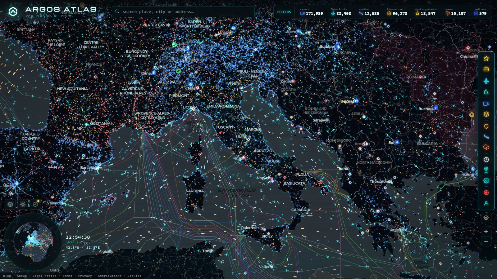
Catania is where the eastern side of Sicily narrows into a single plain. The motorway from Messina comes down the Ionian coast, the road from Palermo arrives across the interior, the runway at Fontanarossa sits on the shoreline a few kilometres south of the centre, and above all of it Etna decides how much of that is going to work today. Ash on the asphalt, ash on the runway, a mountain road shut by snow in February: none of that is theoretical here, and all of it lands on the same handful of corridors.
That is also why people search for Catania traffic cameras and come away disappointed. The east of Sicily is not covered the way a capital is. Our own catalogue holds around 1,450 cameras in the Madrid metropolitan area and 1,412 in the London area (counts as of August 2026), and nothing on the Ionian coast approaches that density. What does exist is genuinely useful, but only if you know who runs each feed and what it was installed for. Our piece on Palermo cameras and the port in real time covers the western end of the island. This one is the Ionian side.
What Catania traffic cameras actually show
Four very different things get called "a Catania traffic camera", and they behave nothing alike:
- Motorway operator cameras. The A18 along the coast towards Messina is run by the Sicilian motorway consortium, the A19 towards Palermo and the state roads fall under ANAS. These are the closest thing to a real traffic camera in the area: wide angle, low resolution, a still image refreshed every few minutes, no sound, framed to answer one question (is anything blocking the carriageway).
- Municipal and control room cameras. The city and the local police run their own, mostly for enforcement and incident response. Most of those feeds are simply not published, and the ones that are tend to be limited views.
- Coastal and tourist webcams. The seafront, Ognina, the beaches south of the airport, the odd square in the centre. Better picture quality, often continuous video, but installed by hotels, beach clubs and local media. They point at the sea or at the crowd, not at the road, and some go dark out of season.
- Volcano cameras. The national geophysics institute keeps visible and thermal cameras trained on the summit craters. They are not traffic cameras, but they are the best early warning you have for the thing that closes the airport.
If you only remember one distinction, make it this one: the first group tells you about the road, the third group tells you about the weather and the mood, and the fourth tells you whether tomorrow is going to be a mess.
The tangenziale is Catania's whole traffic story
The ring road, the RA15, is the single piece of infrastructure that explains the city's congestion. It is toll free, it arcs around the west of the built-up area, and it collects everything: through traffic between Messina and Siracusa, commuters coming in from Misterbianco and the towns on the lower slopes of Etna, lorries heading for the port, and every taxi and rental car going to the airport. Much of it is two lanes each way. When one of those lanes goes down for roadworks or a shunt, the whole eastern side of the island notices.
The pattern is predictable enough to plan around. Mornings load up inbound roughly between seven and nine, evenings unload outbound from five until half past seven, and summer Fridays push everything towards the coast in the afternoon. What a camera adds to that is the one thing a schedule cannot give you: whether the queue is stationary or crawling, and whether it starts before or after the junction you were planning to use. That is the difference between staying on the ring road and dropping onto the SS114 along the coast.
| Corridor | What it connects | When it clogs | What a live view tells you |
|---|---|---|---|
| RA15 ring road | A18, A19, SS114, airport | Weekday peaks, summer Fridays | Whether the tail starts before or after your exit |
| A18 coastal motorway | Catania to Taormina and Messina | Weekends, holiday returns | Queue at the toll plazas, lane closures |
| A19 interior motorway | Catania to Enna and Palermo | Long weekends, roadworks | Whether the interior route is worth it today |
| SS114 Orientale Sicula | Coast south to Augusta and Siracusa | Beach season, ring road incidents | If the coastal alternative is already full |
| SP92 up to Rifugio Sapienza | Nicolosi to the south side of Etna | Snow, ash, eruptive episodes | Cloud and snow at altitude, rarely the road itself |
| Port and seafront | Ferries, freight, promenade | Ferry departures, summer evenings | Weather and sea state, almost never the quayside |
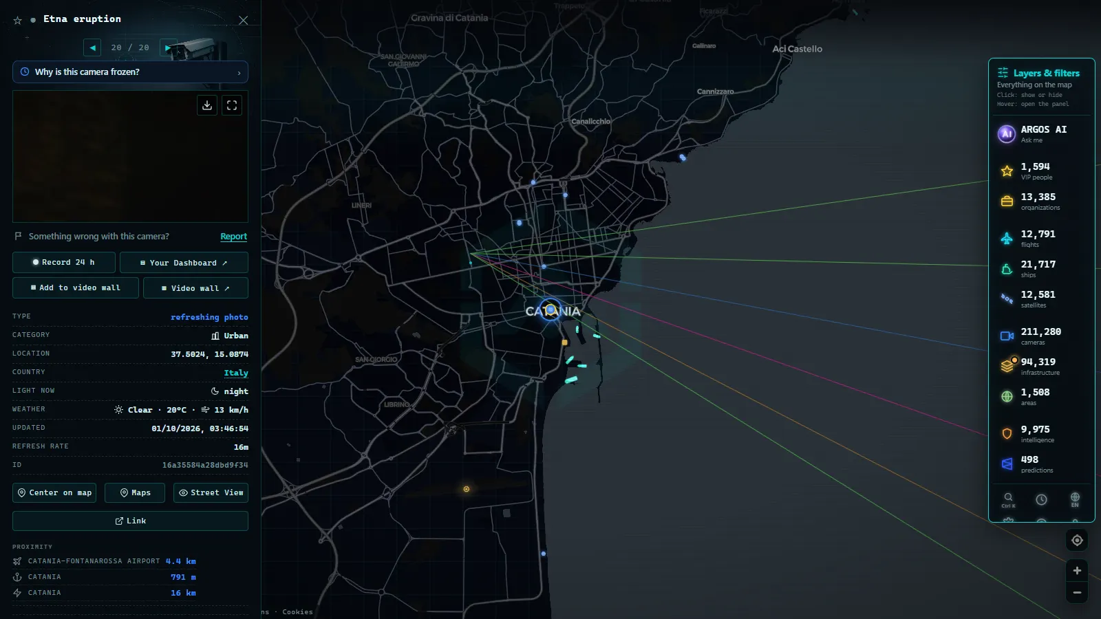
Fontanarossa, an airport with its feet in the water
Fontanarossa is unusual among busy European airports in how tightly it is glued to both the sea and the city. The runway runs close to the shoreline, the approach is over the Gulf of Catania, and the terminal is a short drive from the centre. That proximity is convenient right up to the moment it is not: the airport hangs off the same ring road as everything else, so a lorry across two lanes on the RA15 is not a traffic story, it is a missed flight story.
The second complication is the volcano. Ash from Etna does not need a dramatic eruption to matter. A modest ash column drifting the wrong way is enough to close the runway or divert arrivals, sometimes for hours, sometimes for a day. This is why the volcano cameras belong in any honest guide to watching Catania: they are the only public visual that gives you warning before the departure board does.
If you want to see what is actually inbound, aircraft positions are a better tool than a camera. Our map was holding 12,677 aircraft in the air at the moment of the count (August 2026), across a catalogue of 47,927 airports. Be aware of the limits: reception over the Ionian is solid near the coast and thinner over open water at low altitude, so an aircraft can drop off the plot on approach and reappear a minute later. That is a coverage gap, not a disappearance.
From the ARGOS ATLAS channel.
Where the Catania traffic cameras come from
Every public camera has an owner, and the owner tells you what the image is for and how much to trust it. On this stretch of Sicily the ownership map is short: motorway concessionaires for the A18 and A20, ANAS for the A19 and the state roads, the municipality for the urban network it mostly keeps to itself, private operators for the seafront views, and the geophysics institute for the mountain.
That matters more than it sounds. An operator camera is maintained on a public budget and usually carries a timestamp you can rely on. A beach club webcam can be a year old in practice, still serving a cached frame from a machine nobody checks. If you are unsure which you are looking at, the general rules in our guide to how traffic cameras work and why they are public apply here exactly as they do anywhere else in Europe.
| Feed type | Who runs it | What you get | Worth it after dark? |
|---|---|---|---|
| Motorway cameras | Concessionaire and ANAS | Still image, refreshed every few minutes | Only where the carriageway is lit |
| Urban cameras | City and local police | Mostly unpublished | Not applicable |
| Seafront webcams | Hotels, beach clubs, local media | Continuous video, good quality | Little more than lights on the water |
| Volcano cameras | National geophysics institute | Summit views, visible and thermal | Yes, thermal works at night |
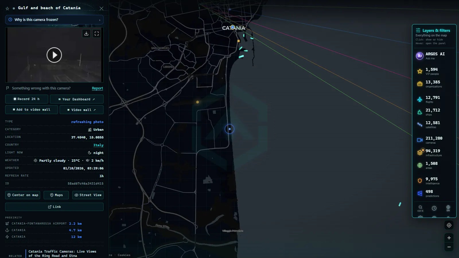
What Catania traffic cameras will not show you
This is the part most guides skip, so here it is straight.
They will not identify anyone. The framing is deliberately wide and the resolution deliberately poor, so cars are coloured blocks. They will not show you the inside of the port or the ferry berths, which are restricted for security reasons. If you want to know which vessels are in the gulf or alongside, position reports are the tool, not video, and our explainer on how AIS tracks ships in real time covers what those reports do and do not include.
They will not give you the city centre either. Via Etnea, the fish market, the streets around the cathedral: at best you get a tourist webcam on a rooftop, at worst nothing. And a real share of what you find listed online will simply be dead, showing a frozen frame or a connection error. That is normal for public networks and usually a maintenance issue rather than censorship, which we unpack in why a traffic camera stops working.
Finally, nothing here is instantaneous. A still image with a timestamp several minutes old is the standard, not a fault. Read the timestamp before you make a decision on it.
Watching it all on one map
The reason to put Catania on a single canvas is that its problems arrive from different systems at once: a queue on the ring road, an ash plume on the mountain, a diverted arrival at Fontanarossa, a ferry sailing late. Our live map of public cameras and traffic carries 200,000+ cameras (count as of September 2026) alongside aircraft, vessels and infrastructure on the same view, so you can check the road and the sky without changing tabs.
In practice: zoom into eastern Sicily, turn on the camera layer and click any marker to see who publishes it and when the frame was taken. Add the flight layer if you are meeting someone at Fontanarossa, and the ship layer if you are watching the gulf. If the newest frame on a camera is older than a quarter of an hour, treat it as decoration and move to the next one along the corridor.
For the rest of the country, the same logic applies with far denser coverage in the north: our guide to traffic cameras in Italy walks through the motorway networks and the Alpine passes. Catania is the thin end of that network, and it is better to know that going in than to assume the feed you cannot find is hiding from you.
Frequently asked questions
Is it free to watch Catania traffic cameras, and do I need an account?
Yes, it is free and there is no sign-up. Our map is open to anyone with a browser: you open it, zoom into eastern Sicily and click a camera marker. The feeds themselves belong to the motorway operators and to the local webcam owners, who publish them openly; we point at them and show the source name and the timestamp next to each one.
Are the images live video or just still photos?
Almost everything around Catania is a still image that refreshes every few minutes, not a video stream. Motorway operators use them for incident management, so a single frame is enough for their purpose. A few seafront and refuge webcams do stream continuously, but they are the exception, and they are pointed at the view rather than at the road.
Can I see the queue on the Catania ring road before I leave?
You can see whether traffic is stationary and roughly where the tail begins, which is the decision that matters. What you cannot do is measure it: there is no speed readout, no travel time and no continuous coverage of the RA15 from end to end. Treat a camera as evidence for one point on the arc, not as a picture of the whole road.
Do the cameras show whether the Etna road is open?
Rarely, and that is worth saying plainly. The cameras up the mountain are volcano observation cams pointed at the summit craters and webcams at the refuges and ski stations. They tell you about cloud, snow cover and ash plumes. They do not show the hairpins on the SP92 above Nicolosi, which is exactly where a closure gate would be.
Can these cameras identify me or read my number plate?
No. Public motorway and traffic cameras are framed wide and at low resolution on purpose, so a car is a coloured shape and a plate is a smudge. The enforcement systems that do read plates are a separate network and their images are not published. If a public feed ever shows you a readable face or plate, that feed is misconfigured.
- Brescia Traffic Cameras: the A4 Corridor and Lake Garda
- Illinois Traffic Cameras: 2,157 IDOT Views Beyond Chicago
- Washington State Traffic Cameras: I-5, 3 Passes and Ferries
- 511PA Traffic Cameras: I-76 and the 4 Turnpike Tunnels
- Nevada Traffic Cameras Live: I-15, I-80 and Sierra Passes
- Oregon Traffic Cameras on TripCheck: I-5, 3 Passes, US-101