Blog · Traffic cameras
Tokyo Traffic Cameras: What Each Corridor Really Shows
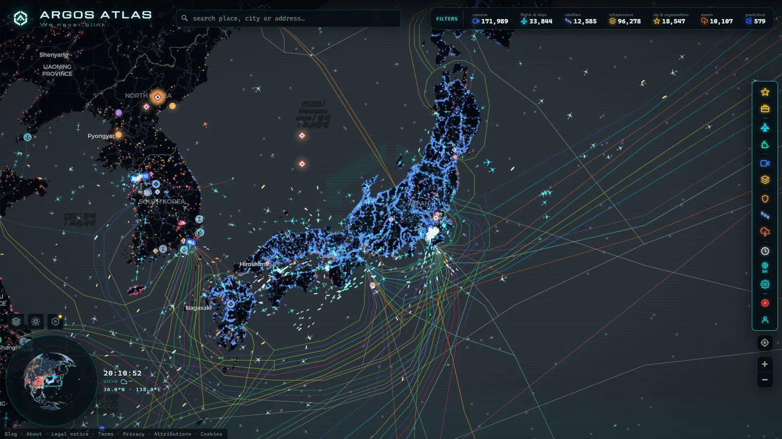
The Japan guide works at country scale: NEXCO's regional companies, the national police feeds, the toll expressways. That is the right altitude for a first look and the wrong one the moment you need to know whether the Bayshore Route is moving at 07:40 on a Tuesday. Greater Tokyo and Yokohama behave as a single metropolitan road system with four or five separate operators layered over it, and each publishes cameras differently, at a different quality, under a different set of rules.
This is the city level. Which corridors actually have public cameras, what those cameras show once you open them (in most cases a still frame refreshed on a timer, not a video stream), and which parts of the network live only inside an operator's own website and never reach any map. The global camera layer holds 200,000+ public cameras (count as of September 2026), and Japan is one of the places where the distance between "a camera exists here" and "you can look through it" is widest.
Where Tokyo traffic cameras actually come from
There is no single Tokyo camera network. There are several, and knowing which one you are looking at explains most of the oddities:
- Metropolitan Expressway Company (Shuto Kosoku) runs the urban elevated network: the C1 Inner Circular, the C2 Central Circular, the numbered radial routes and the Bayshore Route. This is the densest coverage in the region and what most people mean by Tokyo traffic cameras.
- NEXCO East covers the intercity expressways feeding the capital from the north and east, including the Tokyo Bay Aqua-Line. The western corridors (Tomei, Chuo) belong to NEXCO Central.
- The Kanto Regional Development Bureau of MLIT publishes the ground-level national routes: Route 1, Route 15, Route 246, Route 357 along the bay, Route 16 around Yokohama.
- Prefectural and city authorities add scattered cameras, plus seasonal snow and disaster cameras in the mountains west of the metropolis.
- JARTIC, the Japan Road Traffic Information Center, aggregates conditions from all of the above, but it publishes a congestion map, not pictures. It will tell you a section is jammed without showing you the jam.
Add the private cameras (port terminals, hotel roofs, observation decks) and you have the whole picture: several publishers, one road network, no shared standard. For the underlying logic of why any of this is open at all, the explainer on how traffic cameras work and why they are public applies to Japan as much as to Europe.
Tokyo traffic cameras on the Metropolitan Expressway: C1, C2 and the Bayshore Route
The C1 Inner Circular is the hub of the whole system, a tight elevated loop around the Imperial Palace with cameras clustered at its junctions (Takebashi, Kandabashi, Tanimachi, Ichinohashi). They answer one question well: is the loop moving, and in which direction is it not. They answer nothing about weather, because much of the C1 threads between and under buildings.
The C2 Central Circular is the trap for newcomers. A long stretch of it is the Yamate Tunnel, so a good share of its cameras are tunnel cameras. Constant artificial light, identical at three in the morning and at noon. Fine for spotting a stopped vehicle or a queue building toward Ohashi junction, worthless for judging conditions outside.
The radials are where the daily congestion actually lives. Route 3 Shibuya Line and Route 4 Shinjuku Line carry the western commute, Route 5 Ikebukuro the northwest, Route 6 Mukojima the northeast with the long-standing Hakozaki bottleneck, Route 7 Komatsugawa the run out toward Chiba. Route 11 Daiba crosses the Rainbow Bridge, and its cameras are among the few in central Tokyo with a genuine horizon in frame.
The Bayshore Route (the Wangan) is the one to open first. Wide, straight, mostly at grade or on open viaduct through Odaiba, Ariake, Shinkiba and Kasai, which means its cameras show sky, sea and several lanes at once. It is also the spine that links the Tokyo side to Yokohama through the Yokohane Line, so a single incident on it propagates across two cities.
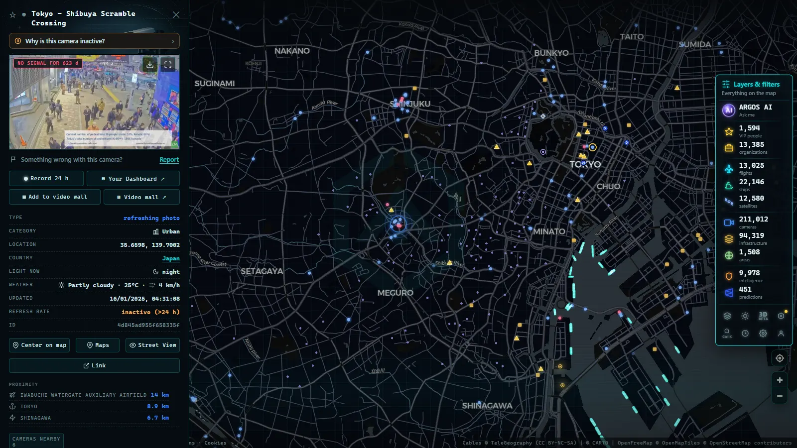
Yokohama traffic cameras: the K routes, the port and the Aqua-Line
Yokohama is not a suburb of Tokyo in camera terms, it is its own network with its own operator branch. The K1 Yokohane Line runs south from Haneda along the bay and is the single most useful corridor to watch if you move between the two cities. K3 Kariba and K7 Yokohama-Kita handle the inland side, K5 Daikoku ties the port together at the Daikoku Futo junction, one of the more photogenic interchanges anywhere on the network.
At ground level, Route 357 crosses the port area past Daikoku and Honmoku, and Route 16 loops the city. South of Yokohama the Yokohama-Yokosuka Road (the Yokoyoko) is NEXCO East territory, as is the Tokyo Bay Aqua-Line running east under and over the bay to Kisarazu, with the Umihotaru rest area sitting in the middle of the water.
One honest caveat that catches people out: the Yokohama Bay Bridge and the Aqua-Line both close in high wind. The camera will happily show you an empty, clear, perfectly dry deck while the road is shut. Closures are announced as text on the operator sites and never as a visible change in the image.
| Corridor | Operator family | What the camera really shows | The catch |
|---|---|---|---|
| C1 Inner Circular | Metropolitan Expressway | Junction queues, direction of the standstill | No sky, no weather read |
| C2 Central Circular | Metropolitan Expressway | Tunnel interior, stopped vehicles | Looks identical day and night |
| Route 11 Daiba, Rainbow Bridge | Metropolitan Expressway | Deck traffic with a real horizon | Few cameras, high demand |
| Bayshore Route (Wangan) | Metropolitan Expressway | Wide multi-lane views, bay weather | Long gaps between camera points |
| K1 Yokohane Line | Metropolitan Expressway | The Tokyo to Yokohama commute | Congestion propagates faster than the refresh |
| Route 357, port of Yokohama | MLIT Kanto Bureau | Ground-level port access | Sparser coverage than the expressways |
| Tokyo Bay Aqua-Line | NEXCO East | Approaches and Umihotaru | Wind closures invisible in the image |
| National Routes 1, 15, 246 | MLIT Kanto Bureau | Surface arterial conditions | Lower refresh, some cameras retired quietly |
From the ARGOS ATLAS channel.
Why so much Japanese camera material is a still image, not video
This is the part that surprises visitors coming from London or Chicago. Japanese road cameras are, first and foremost, operational tools for control rooms. What reaches the public web is a snapshot exported from that internal system, not the internal feed itself. Three consequences follow.
First, refresh is on a timer measured in minutes, not seconds. Between refreshes the picture is genuinely frozen, and the burnt-in timestamp (Japan Standard Time, UTC+9) is the only reliable way to tell a stale frame from a quiet road.
Second, resolution and framing are deliberately modest. Plates are not legible, faces are not legible, and there is no public pan, tilt or zoom. That is a policy posture as much as a technical one, and it is consistent across operators.
Third, many operator pages are built for a human in a browser: session tokens, refresh loops, occasional rate limiting. A camera can be entirely public and still be effectively unmappable, which is exactly why some of what you find on an operator site never appears anywhere else. If you are unsure whether a Japanese camera page is the real operator or a mirror, the guide on how to tell whether a webcam is official covers the checks that matter.
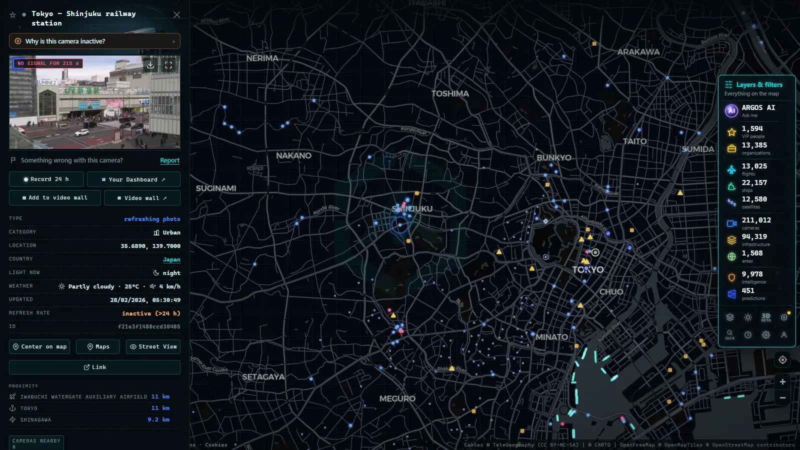
What reaches the map and what stays on the operator site
Worth being blunt about the split, because it decides where you should look:
- On the map: expressway and national route cameras that publish a stable image address, which covers the bulk of the Metropolitan Expressway and a good share of the Kanto national routes.
- Operator site only: cameras behind a session or a JavaScript refresh loop, some tunnel interiors, seasonal mountain cameras that appear only in winter, and most private port and terminal cameras.
- Nowhere as an image: the police-side monitoring and the JARTIC aggregation, which exist as congestion data rather than pictures.
We do not publish a Japan-specific camera count, and you should distrust any site that gives you a precise one: the number moves every time an operator rotates a batch of endpoints. Country-level context lives in the Japan traffic camera guide, and this piece is the city-level layer under it.
A five minute routine with Tokyo traffic cameras before you drive
Open the live camera map, zoom to Tokyo Bay, and work in this order. Start on the Bayshore Route, because it tells you the state of the whole east side at a glance. Move to the C1 to see whether the core loop is absorbing or rejecting traffic. Then take the radial you actually need (Route 3 for the southwest, Route 4 for Shinjuku and the west, Route 6 for the northeast). If you are heading toward Yokohama, finish on K1.
Check the timestamp on every frame before you trust it. Two cameras in the same interchange can be several minutes apart, and the older one will quietly contradict the newer one.
If a camera never updates or shows a placeholder, that is normal and usually temporary. The rundown on why a traffic camera stops working lists the patterns worth recognising before you assume the road is closed. And if the drive ends at Haneda or Narita, cross-checking against live flights over Japan tells you whether the delay is on the road or in the air, which is not the same problem and rarely has the same answer.
Reading a Japanese camera page without reading Japanese
A short vocabulary covers most of what you will meet. 上り (nobori) is the inbound direction, toward Tokyo; 下り (kudari) is outbound. 渋滞 is congestion, 事故 an accident, 工事 roadworks, 通行止め a full closure. The word next to the clock is normally 更新, meaning updated, and the four digits after it are your real freshness indicator.
One last piece of honesty: these cameras are excellent at telling you whether a specific stretch of asphalt is full of cars right now, and poor at everything else. They will not tell you why, how long it will last, or whether the closure ahead has already been lifted. Treat them as one instrument among several, and they are the fastest read on Tokyo and Yokohama road conditions you can get for nothing.
Frequently asked questions
Is it free to watch Tokyo traffic cameras, and do I need to register?
Yes, it is free, and no, there is no account. Open the map, zoom into Tokyo Bay and click any camera marker. The images come from public operator endpoints, so you are seeing what the road authorities themselves publish, refreshed on their timer rather than ours.
Are Tokyo traffic cameras live video or still images?
Almost all of them are still images refreshed on a timer. A handful of private webcams (port decks, hotel roofs, observation platforms) stream real video, but the expressway and national route cameras publish a single frame with a burnt-in timestamp. If the picture looks frozen, it usually is not broken, it is simply between refreshes.
Can Tokyo traffic cameras read my licence plate?
The public images cannot. Their resolution is low enough that plates and faces are not legible at normal distances, and they are fixed views without public pan, tilt or zoom. Automatic number plate recognition in Japan runs on separate enforcement equipment that is not published as a public camera feed.
Why do some Metropolitan Expressway cameras look identical day and night?
Because they are inside a tunnel. Much of the C2 Central Circular runs through the Yamate Tunnel, and its cameras see artificial lighting around the clock. They are useful for spotting a stopped vehicle or a queue, and useless for judging weather, daylight or road surface.
Which corridor should I check first for a Haneda or Narita run?
For Haneda, check the Bayshore Route and the Route 1 Haneda Line first, then the K1 Yokohane Line if you are coming from the south. For Narita, the Higashi Kanto corridor matters more than anything inside the C1 loop. Airport-bound delays are usually visible on the approach cameras long before the terminal signage admits them.
- Alberta 511 Traffic Cameras: Calgary, Edmonton and the Passes
- Salerno traffic cameras: the A2, the coast road and the port
- Greece Traffic Cameras: Live Roads From Athens to Crete
- North Carolina Traffic Cameras: I-40, Charlotte and NC-12
- Sichuan traffic cameras: what the map shows and what it doesn't
- Missouri traffic cameras: MoDOT, KC Scout and Gateway Guide