Blog · Traffic cameras
North Carolina Traffic Cameras: I-40, Charlotte and NC-12
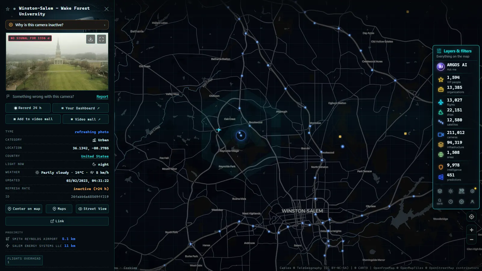
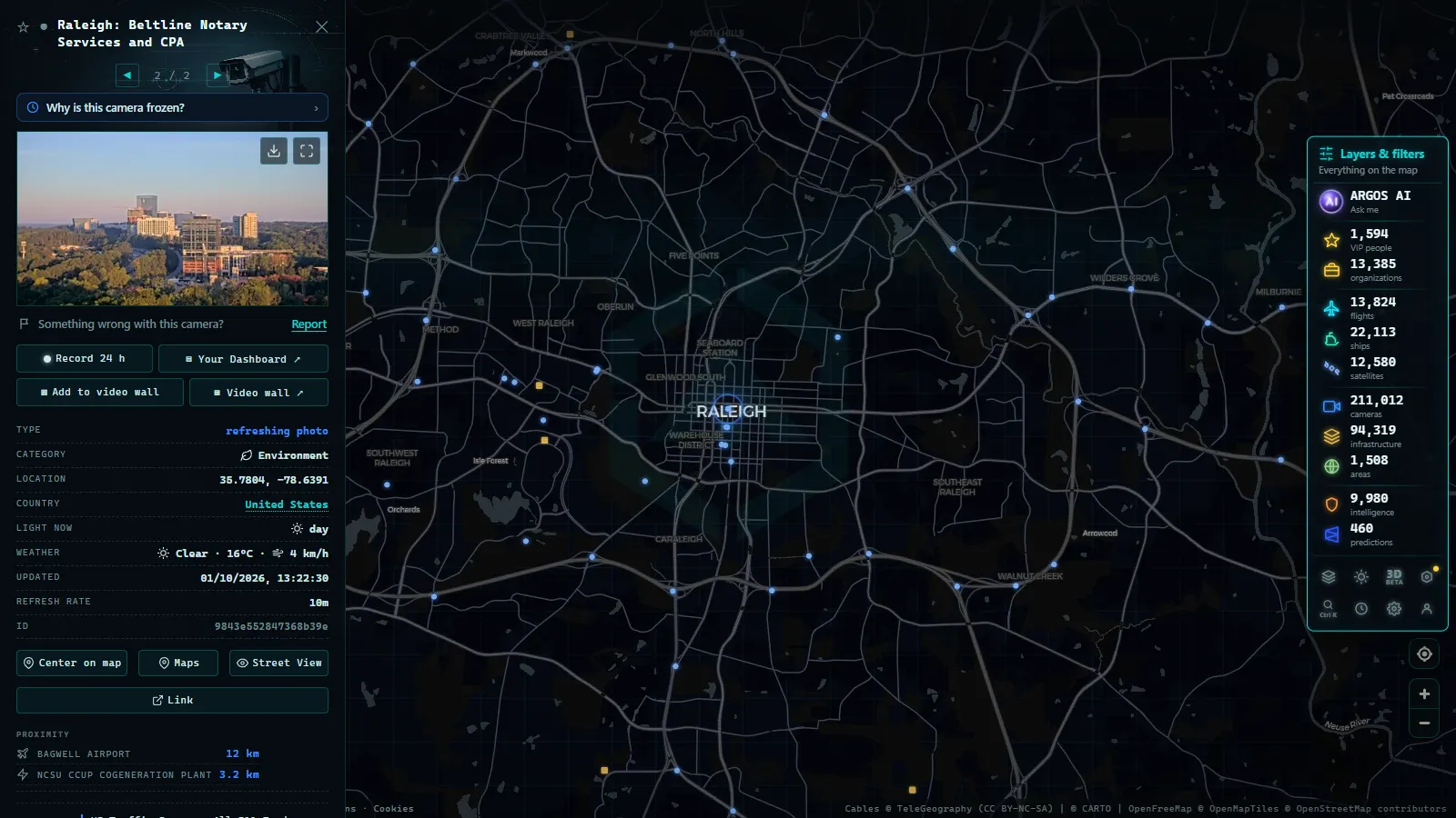
North Carolina publishes almost everything its traffic cameras see, and it does it through a single agency. NCDOT runs the statewide network from its transportation operations centres and pushes the pictures to its public traveller information system, DriveNC. One operator means one style of camera, one naming convention and one set of quirks from the Tennessee line to Hatteras Island, which for a state this size is unusual.
The coverage map is stranger than you would guess. The thick parts are the obvious ones (the Triangle, the Triad, Charlotte), but the useful parts are often the thin ones: a long run of I-40 down to the coast with real gaps in the middle, mountain grades where one camera tells you whether the trucks are still moving, and a barrier island road that the Atlantic crosses several times a year. This is a corridor by corridor guide to what those feeds are actually good for. All of them sit on the ARGOS ATLAS live map next to the rest of the world's public cameras (179,594 in the catalogue, count as of September 2026), free and with no account.
The essentials, in 20 seconds
- NCDOT: runs the statewide traffic camera network from its transportation operations centres and publishes it through DriveNC.
- Four operators: NCDOT, the NC Turnpike Authority, Charlotte's transport department and the NCDOT Ferry Division each run their own separate camera set.
- Old Fort grade: on I-40 between Old Fort and Ridgecrest, it's the steepest sustained interstate climb in the state.
- NC-12: the only road down the Outer Banks, with no detour if it closes.
- Blue Ridge Parkway: run by the federal National Park Service, it has no traffic camera network at all.
Who runs the North Carolina traffic cameras
NCDOT owns most of them, and they exist for one reason: incident management. An operator needs to see whether a lane is blocked before deciding what to write on the overhead signs and whether to send an incident management patrol. Public access is a by-product of that job, which is why the framing is always operational (wide shots of pavement) and never scenic.
Three other operators put cameras on North Carolina roads and each behaves differently. The North Carolina Turnpike Authority covers the toll roads, the Triangle Expressway on the south and west side of Raleigh and the Monroe Expressway out of Charlotte. Charlotte's own transport department runs cameras at city signals, mounted lower and closer to the pavement than highway poles, with a much tighter field of view. The NCDOT Ferry Division watches its terminals, which matters more than it sounds when you are trying to work out whether the Hatteras run is loading or sitting.
One notable absence: the Blue Ridge Parkway is federal, run by the National Park Service, and has no traffic camera network. When the Parkway ices over you learn it from a closure notice, not from a picture. The same goes for most roads inside Great Smoky Mountains National Park. For the mechanics of why highway agencies publish these feeds at all, we covered that in how traffic cameras work and why they are public.
I-40 from Raleigh to Wilmington: the beach corridor
I-40 ends in Wilmington, and its last stretch is the road half the Triangle takes to the coast. It leaves Raleigh past RDU and Cary, crosses I-95 at Benson, then runs through Newton Grove, Warsaw, Wallace, Burgaw and Castle Hayne before finishing at College Road (NC-132).
Camera density drops sharply after the I-95 interchange. Through Sampson and Duplin counties you are in farm country with long spacing between feeds, and a crash there can be circulating on social media well before anything in the network shows you the queue. Coverage thickens again on the approach to Wilmington and around the US-17 bypass.
Three things are worth watching here. Summer Friday afternoons southbound and Sunday afternoons northbound, where the backup usually forms near Benson and stacks upstream. The I-40 and I-95 interchange itself, which mixes local beach traffic with the entire eastern seaboard. And the Cape Fear Memorial Bridge in Wilmington, a lift span: when it goes up for river traffic, US-17, US-74 and US-76 stop with it, and the views near the bridge approaches show the queue building before any routing app reacts. Hurricane evacuation for the southern beaches leans on I-40 westbound out of Wilmington, with a contraflow scheme that has existed on paper far longer than it has been used.
From the ARGOS ATLAS channel.
The Charlotte knot: I-77, I-85, I-485 and Independence
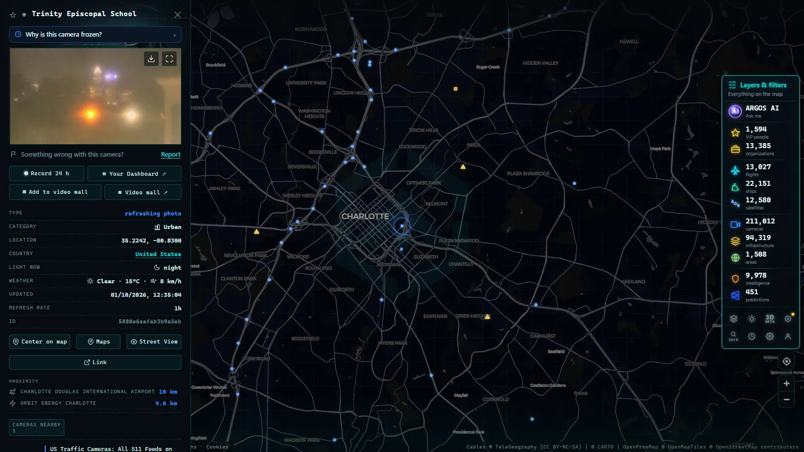
Charlotte is where the network is densest, and it needs to be. I-77 runs north through the express toll lanes into Huntersville, Cornelius and Mooresville, and the lane separation means the general purpose lanes and the toll lanes can be in completely different states inside the same frame. I-85 heads northeast to Concord past Charlotte Motor Speedway, which turns race weekends into a separate traffic season. I-485 loops the whole city, and the southern arc around Pineville and Ballantyne, where it meets I-77, is the piece worth checking first.
Inside the loop, the John Belk Freeway on the south side and the Brookshire Freeway on the north form a tight ring around uptown that tends to seize in both directions at once, and the I-77 and I-85 interchange just northwest of it is the pinch point every local complains about. US-74 Independence Boulevard east towards Matthews has its own express lanes and its own camera set, and Billy Graham Parkway and Josh Birmingham Parkway cover the airport approaches.
That last one is where layering pays off. Charlotte Douglas works in banks, so on the map you can put the ADS-B flight layer over the same view and watch the arrival stream that is about to become rental car traffic on Billy Graham. For the same trick one state south, the Georgia 511 camera guide covers the Atlanta end of the I-85 corridor.
Mountain passes: the Old Fort grade, the gorge and Sam's Gap
Western North Carolina is where a single camera earns its keep. Four places matter more than the rest.
The Old Fort grade, I-40 between Old Fort and Ridgecrest, is the steepest sustained interstate climb in the state and the first place trucks get into trouble when there is ice on the pavement. If the eastbound descent is stacked, the corridor into Asheville is about to be.
The Pigeon River Gorge, I-40 west of Asheville to the Tennessee line, is narrow, short of shoulder and has a long history of rockslide closures. It was also torn apart by the September 2024 flooding and rebuilt in stages, so a camera there may be showing you a lane pattern that did not exist the last time you drove it. Read the frame, not your memory of the road.
I-26 over Sam's Gap carries the same freight problem on a long grade into Tennessee. And the High Country approaches, US-421 up through Deep Gap to Boone, US-321 from Blowing Rock and NC-105 towards Linville, are the ones that decide whether a ski weekend happens at all.
Mountain fog defeats these cameras completely, and that is not a malfunction: a grey rectangle at Sam's Gap in November is telling you precisely what you would find there. How to read winter road cameras properly is in our guide to mountain pass cameras and checking snow before you travel.
The Outer Banks: NC-12 cameras in hurricane season
NC-12 is the only road down the barrier islands, and there is no detour. The chain of pressure points is short enough to memorise: the Wright Memorial Bridge on US-158 from the mainland into Kitty Hawk, the Marc Basnight Bridge over Oregon Inlet, the Rodanthe bridge that carries the road out over the sound to bypass the old S-curves at Mirlo Beach, the low ground around Pea Island and north of Buxton, then Hatteras village and the ferry to Ocracoke.
In hurricane season, June through November, the pattern repeats. Dare and Hyde counties order visitors out first and residents second, and the traffic runs west on US-64 across the Virginia Dare Memorial Bridge over Croatan Sound and the Alligator River bridge beyond it, or north over the Wright Memorial. The camera views at those bridges, plus the ferry terminal feeds, tell you whether the order is being followed and how fast.
Then the honest part. The cameras that matter most during a storm, the ones on the low overwash sections, are exactly the ones that lose power, fibre or their mounting first. Sand across NC-12 and ocean overwash are the two conditions that close the road, and both tend to arrive with the outage. A frozen frame looks identical to a live one, so check the timestamp before you believe the empty road it shows you.
What the North Carolina traffic cameras cannot show you
Almost every feed in the network is a still image on a refresh cycle rather than continuous video. A clean looking frame can be a minute or more old, which is enough time for a lane to close. Operators also pan and zoom during incidents, so the view you learned last week may be pointing at a different ramp today.
They are operations cameras, not enforcement devices. Resolution is nowhere near plate reading at highway distances, there is no audio, and nothing is aimed at identifying a driver. A few North Carolina cities have run red light programmes under separate local authority, but that is different hardware on different poles.
Coverage gaps are real and they follow population rather than need. Most of the northeastern counties, US-64 east of Rocky Mount, US-70 towards Morehead City and the Sandhills secondaries are lightly watched or not watched at all. Night is its own limitation: many highway cameras give you headlight smear and little else, and only lit interchanges stay readable. When one specific camera is dark the reason is usually mundane, and the full list of causes is in why a traffic camera stops working.
Watching the North Carolina traffic cameras on one map
| Corridor | What to look at first | Best for | Where it thins out |
|---|---|---|---|
| I-40, Raleigh to Wilmington | I-95 at Benson, Castle Hayne, Cape Fear Memorial Bridge | Weekend beach queues, bridge lifts | Sampson and Duplin counties |
| Charlotte | I-77 express lanes, I-85 at Concord, I-485 at Pineville, US-74 | Rush hour, race weekends, airport runs | Streets off the interstate grid |
| Mountains | Old Fort grade, Pigeon River Gorge, Sam's Gap, Deep Gap | Ice, fog, rockslides, crash closures | Blue Ridge Parkway (no cameras) |
| Outer Banks | Wright Memorial, Oregon Inlet, Rodanthe, Hatteras terminal | Overwash, sand, evacuation traffic | Between villages, and during outages |
On the map the NCDOT feeds sit in the same catalogue as every other public camera, so you open a marker, get the latest frame with its timestamp, and can share that exact view as a link. The maritime layer is on the same screen, which is useful on this coast: the AIS ship view (21,266 vessels at the last count, September 2026) shows what is working the Cape Fear river and Morehead City while the road cameras show the bridges those ships are about to open. For how the state systems differ from one another before you go looking elsewhere, start with the United States traffic cameras overview.
Frequently asked questions
Are North Carolina traffic cameras free to watch, and do I need an account?
Yes, free, and no. NCDOT publishes its feeds as public information, and on the ARGOS ATLAS map you open a camera marker and see the latest frame with its timestamp without registering, paying or installing anything. The North Carolina cameras sit in the same catalogue as every other public feed on the map (200,000+ cameras, count as of September 2026).
Who actually operates the traffic cameras in North Carolina?
NCDOT runs most of them from its transportation operations centres and publishes them through its DriveNC traveller information system. Three others add cameras on specific roads: the North Carolina Turnpike Authority on the Triangle Expressway and the Monroe Expressway, Charlotte's city transport department at its own signals, and the NCDOT Ferry Division at the ferry terminals. The Blue Ridge Parkway is federal and has no traffic camera network.
Are the feeds live video or still images?
Almost all of them are still images on a refresh cycle, not continuous video. That means a clean looking frame can already be a minute or more old, which is long enough for a lane to close. Always read the timestamp on the picture, especially in bad weather, because a camera that has frozen on its last frame looks exactly like one that is working.
Can I follow NC-12 and the Outer Banks during a hurricane evacuation?
Partly, and it is worth knowing the limits. The bridge cameras (Wright Memorial, the Marc Basnight span at Oregon Inlet, the Virginia Dare Memorial Bridge over Croatan Sound) and the ferry terminal views usually keep working and show you how the evacuation is flowing. The cameras on the low overwash sections, which are the ones you most want, are the first to lose power or fibre in a serious storm.
Do North Carolina traffic cameras record drivers or issue tickets?
No. These are operations cameras aimed at pavement so that an operator can see whether a lane is blocked. The resolution is nowhere near plate reading at highway distances, there is no audio, and nothing is pointed at identifying a driver. A few North Carolina cities have run red light programmes under separate local authority, but that is different hardware on different poles.
- Sichuan traffic cameras: what the map shows and what it doesn't
- Missouri traffic cameras: MoDOT, KC Scout and Gateway Guide
- Croatia Traffic Cameras: the A1, Pelješac and the Adriatic
- Arizona Traffic Cameras: ADOT Live Views on I-10, I-17, I-40
- Czech Republic Traffic Cameras: D1, D5 and D8 Live in Winter
- Ho Chi Minh traffic cameras: reading a city on two wheels