Blog · Traffic cameras
Alberta 511 Traffic Cameras: Calgary, Edmonton and the Passes
Every member of the 511 family runs the same idea with a different accent. Ontario's system is a dense grid around the Golden Horseshoe, DriveBC lives and dies by mountain passes, and the New York and Illinois networks are congestion tools for metro areas. Alberta sits across all three at once, and it is the one drivers ask about without getting a straight answer: what do the provincial cameras actually see between Calgary, Edmonton, the Deerfoot Trail and the road up to Banff?
Short version: the 511 traffic cameras in Alberta are a highway network, not a city one, and in winter they stop being a congestion tool and become a road surface tool. That shift is the whole point of this guide. In July, a camera on the QEII tells you whether traffic is moving. In January, the same camera tells you whether the pavement is black, white or shining wet, and that answer is worth far more than a queue length.
The essentials, in 20 seconds
- 511 Alberta: covers only numbered provincial highways (Deerfoot Trail, Stoney Trail, Anthony Henday Drive, the QEII), not the municipal streets inside Calgary or Edmonton.
- The QEII: the single most-watched corridor in the province, running through Airdrie, Red Deer and Leduc between Calgary and Edmonton.
- Highway 40 at Highwood Pass: closes every winter, from early December until the middle of June.
- A winter still image: shows one of four surface readings, from bare and dry to patchy grey ice after a chinook, not traffic flow.
- The cameras: carry no video and cannot resolve a licence plate, by design.
What 511 traffic cameras in Alberta actually cover
The provincial service, branded 511 Alberta and run by the province's transportation ministry, covers numbered provincial highways. That one sentence explains most of the confusion. Deerfoot Trail, Stoney Trail, Anthony Henday Drive and the QEII are provincial highways running through or around cities, so they appear. Whitemud Drive, Macleod Trail, most of the arterial grid in both big cities and every downtown intersection do not: municipal streets are the city's business, and Calgary and Edmonton run their own separate camera systems.
There is a second split worth knowing. Some views are ordinary traffic cameras aimed down a lane. Others are road weather stations that happen to carry a lens, planted on exposed stretches where wind and drifting matter more than volume. The second kind is often pointed at a shoulder or a bare patch of asphalt rather than at the traffic itself. On a July afternoon that looks like a broken camera. In February it is the most useful image on the network.
If you want the wider picture of how the country's systems fit together, the guide to traffic cameras across Canada puts Alberta next to Ontario, Quebec and British Columbia.
Calgary: Deerfoot Trail, Stoney Trail and the way out of town
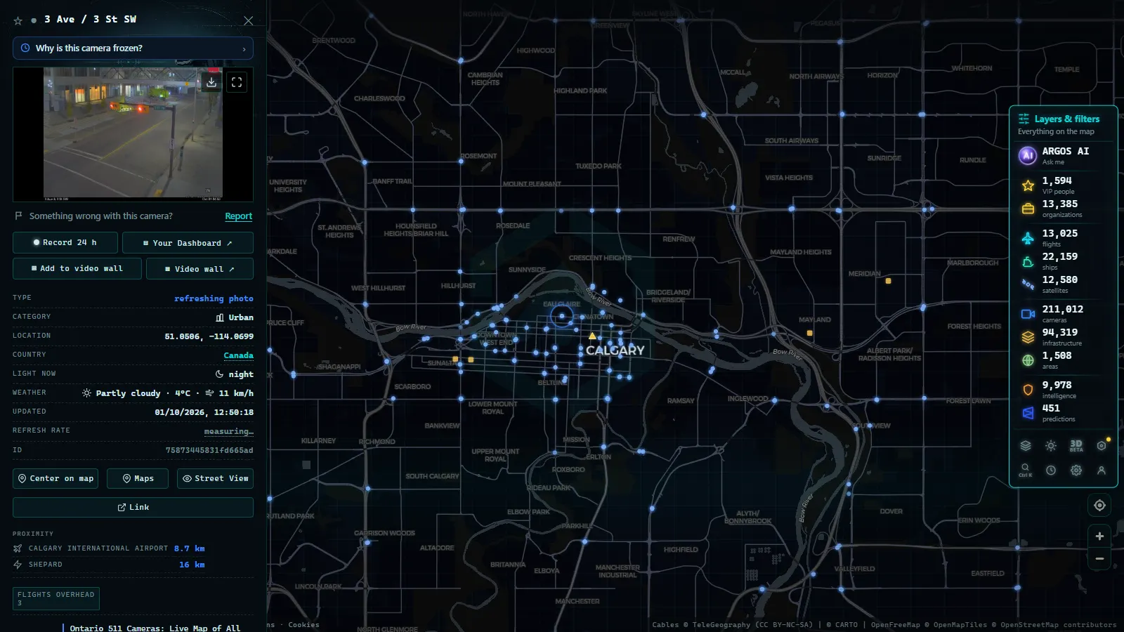
Deerfoot Trail carries Highway 2 straight through Calgary, and it is the piece of the provincial network that behaves most like a city expressway. The cameras sit at the interchanges that decide everything: the Glenmore junction, Memorial, the airport approach, the north end where Stoney Trail joins. If the mainline is stacked at one of those, it is stacked for kilometres in both directions.
Stoney Trail, the ring road, is the other half of the same decision. The useful question in Calgary is rarely "how bad is Deerfoot", it is "is the ring a better bet right now", and you answer that by flipping between two or three views rather than staring at one. Coverage is denser near the interchanges and thinner along the open stretches on the outer legs, which is exactly where a winter incident is hardest to see coming.
One honest limitation: on a low winter sun, the westbound afternoon views wash out badly. The image is technically working and tells you almost nothing. That is not a fault to report, it is physics.
From the ARGOS ATLAS channel.
Edmonton, the Henday and the QEII corridor
Anthony Henday Drive, Highway 216, is Edmonton's provincial ring and the city's best-covered asset in the 511 set. Its approaches run through open farmland, which matters more than it sounds: those flat, unsheltered kilometres are where blowing snow builds drifts across live lanes while the road inside the city stays clear.
Between the two cities, the QEII is the single most-watched corridor in the province and the reason many people open 511 at all. Airdrie, Red Deer and Gasoline Alley, Leduc on the northern approach: those are the checkpoints. The corridor's defining trait is that it is long enough to have genuinely different weather at each end. A dry, sunny departure from Calgary tells you nothing about a glare-ice band sitting over the middle third. Checking the ends and skipping the middle is the classic mistake.
The passes towards Banff, and the handoff to British Columbia
West of Calgary, Highway 1 climbs steadily to Canmore and then to Lake Louise, and the cameras change character with the altitude. Inside Banff and Jasper national parks the road is federally managed, so provincial coverage thins out and you are working with fewer views over longer distances. Past the summit near Lake Louise you leave Alberta entirely and the information comes from a different system: our guide to British Columbia traffic cameras and the DriveBC corridors covers what happens next on the way to Field, Golden and Rogers Pass.
The rest of the mountain set is thinner and more seasonal. Highway 93 North, the Icefields Parkway, is the emptiest major road in the province and is monitored accordingly. Highway 40 through Kananaskis closes at Highwood Pass every winter, from early December until the middle of June, so cameras there answer a different question in each half of the year. Highway 3 through the Crowsnest is a wind road first and a snow road second. Highway 11, the David Thompson, and Highway 16 towards Hinton and Jasper both have long stretches where the nearest camera is far from where you will actually be in trouble.
If reading snow off a still image is new to you, the piece on mountain pass cameras and how to judge snow before you drive is the technique guide that goes with this section.
Corridor by corridor: what a still image really answers
| Corridor | Highway | What a single still tells you | The winter caveat |
|---|---|---|---|
| Deerfoot Trail, Calgary | Hwy 2 | Whether the mainline is stacked at the big interchanges | Low sun and spray wash out afternoon views |
| Stoney Trail ring | Hwy 201 | Whether the bypass beats crossing the city | Open outer legs drift before the core does |
| Anthony Henday, Edmonton | Hwy 216 | Ring flow and where an incident backup starts | Blowing snow across the farmland approaches |
| QEII, Calgary to Edmonton | Hwy 2 | Surface colour at Airdrie, Red Deer and Leduc | Both ends dry while the middle is glare ice |
| Trans-Canada to Banff | Hwy 1 | Bare or packed lanes around Canmore | Coverage thins inside the national parks |
| Icefields Parkway | Hwy 93N | Very little: the thinnest coverage of the set | Long unmonitored stretches and no services |
| Crowsnest Pass | Hwy 3 | Wind, drifting and visibility near the summit | Chinook melt that refreezes after dark |
| David Thompson | Hwy 11 | Whether the climb west of Nordegg looks passable | Big gaps between views |
| Yellowhead to Jasper | Hwy 16 | Surface near Hinton and the high ground west | Ice fog sitting in the valley bottoms |
| Fort McMurray road | Hwy 63 | Flow on the twinned sections and closures | Freezing fog, and smoke in wildfire season |
Winter: what 511 traffic cameras in Alberta are really for
Here is the shift that most guides skip. From roughly November to April, you are not looking at the cars. You are looking at the pavement, and there are four readings worth memorising.
Dark and uniform is bare and dry, or bare and wet, and the difference is the shine. Uniformly white is snow-packed: slow, but usually predictable. Dark with two pale ribbons means the wheel tracks are worn through to compacted ice while the lane between them holds snow, which is the pattern that punishes lane changes. Patchy dark grey on a cold, clear morning after a chinook is the one to respect, because meltwater that ran across the surface in the afternoon is a sheet by dawn.
Three habits make the difference. Read the timestamp first, every time, because a four-hour-old frame is visually indistinguishable from a fresh one. Look at the shoulder and the snowbank, not the lane, if you want to know how much has fallen since the plow went through. And treat a lens caked in frozen spray as data rather than a fault: if the camera is blind, the highway is throwing enough slush to blind you too. Night views are close to useless outside lit urban stretches, so a clear image at 4 pm is worth more than a black rectangle at 9 pm.
What the 511 traffic cameras in Alberta cannot tell you
They cannot show you video. They cannot resolve a licence plate, and they are not built to: the resolution and the framing are chosen so they cannot, which is the same design decision behind most public traffic networks. They cannot tell you a road is closed, because a closure is text on a map, not something visible in a frame of empty asphalt (an empty highway at 7 am looks exactly like a closed one).
They also go dark. Remote sites on marginal power and communications drop out, cameras freeze on a single frame for hours, and nobody sends you a notification when it happens. If you want the full list of failure modes and what to do about each, we wrote it up in why a traffic camera stops working.
And one thing we will not pretend about: coverage is not uniform. The QEII and the two ring roads are watched closely. The Icefields Parkway, the David Thompson and long stretches of the north are not, and no amount of clicking will make a camera appear where there is none.
Watching Alberta alongside the rest of the 511 world
Our map pulls hundreds of public camera networks into one dark interface: 200,000+ cameras worldwide (count as of September 2026), no account, nothing to install. The Canadian piece of that set is anchored by Ontario 511 and its 1,660 live cameras (count as of September 2026), plus the British Columbia network on the far side of the Rockies.
Alberta is the honest gap. The province's own 511 feed is not one of the networks we ingest yet, so for Alberta highways the provincial service remains the source, and what our live map of public cameras gives you today is everything around it: the Ontario grid, the BC passes that continue every Alberta mountain route westward, and the American 511 systems on the other side of the border. When the Alberta feed joins, it slots into the same view as the rest, with the mountain corridors handed off cleanly between provinces instead of stopping at a jurisdictional line that no storm has ever respected.
Frequently asked questions
Are Alberta's 511 traffic cameras free to watch, and do you need an account?
Yes, they are free and there is no registration. 511 Alberta publishes its camera images openly because the province funds the network with public money and wants drivers to check conditions before leaving. The same applies to our map: it is free, live and needs no account. What you do not get is video. Almost everything in the 511 world is a still image that refreshes on a timer, so \"live\" means \"recent\", not \"continuous\".
Do Alberta's 511 cameras show video or still photos?
Still photos, refreshed every few minutes at most locations. That is normal for provincial traveller information services and it is a bandwidth decision, not a technical limit: hundreds of simultaneous video streams across a province this size would cost far more than the safety benefit. The practical consequence is that you cannot judge speed from a single frame. You judge surface colour, spray, tire tracks and how tightly the vehicles are packed.
Are Calgary and Edmonton city streets included in 511 Alberta?
No. The provincial service covers numbered provincial highways, which is why Deerfoot Trail, Stoney Trail, Anthony Henday Drive and the QEII appear while Whitemud Drive, Macleod Trail and the downtown grids do not. Both cities operate their own separate camera systems for municipal roads. If your commute is entirely inside city limits and never touches a ring road, the provincial feed will not help you much.
Which cameras matter most for driving from Calgary to Banff in winter?
The ones on Highway 1 between Calgary and Canmore, and then the climb west of Canmore towards Lake Louise. Check surface colour rather than traffic volume: bare and dark is fine, uniformly white is snow-packed and slow, and patchy grey with dark streaks is the compacted-ice pattern that catches people out. Coverage thins inside Banff National Park, and once you cross into British Columbia the handoff is to DriveBC, a different system entirely.
Why does a 511 camera go dark or repeat the same image for hours?
Usually power or communications, especially at remote mountain and prairie sites running on marginal links. Sometimes the lens is simply covered in frozen spray or blowing snow, which is a diagnosis in itself: if the camera is caked, so is your windshield. Always read the timestamp on the image. A stale frame from four hours ago looks identical to a live one and is the single most common way people misread a winter camera.
- Salerno traffic cameras: the A2, the coast road and the port
- Greece Traffic Cameras: Live Roads From Athens to Crete
- North Carolina Traffic Cameras: I-40, Charlotte and NC-12
- Sichuan traffic cameras: what the map shows and what it doesn't
- Missouri traffic cameras: MoDOT, KC Scout and Gateway Guide
- Croatia Traffic Cameras: the A1, Pelješac and the Adriatic