Blog · Traffic cameras
Greece Traffic Cameras: Live Roads From Athens to Crete
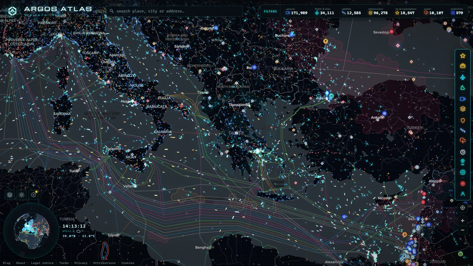
Greece rebuilt almost its entire motorway network over the last two decades, and it did it through private concessions. That decision shapes what you can watch today: the cameras exist, and there are a lot of them, but the companies running the roads treat their CCTV as a control room tool rather than a public feed. There is no Greek equivalent of the Spanish DGT grid or the London jam cams.
What fills the gap is a patchwork that turns out to be genuinely useful once you know who runs what: weather station cameras that happen to point at a junction, municipal cameras on a seafront, port webcams that frame the ferry ramp and the access road behind it, ski resort cameras sitting above a mountain pass. This guide goes corridor by corridor (the A1 spine from Athens to Thessaloniki, the Attica ring, the run west into Patras and over the Rio bridge, the Egnatia across the north, and Crete) and says for each one who publishes the picture, and where no picture exists at all.
What you can actually see on Greece traffic cameras today
Four families of feed, in rough order of how many there are:
- Weather network cameras. The National Observatory of Athens runs the densest weather station network in the country, and a large share of those stations carry a camera. Most were installed to show the sky, but plenty frame a national road, a town entrance or a pass. They are stills, refreshed every few minutes.
- Municipal and regional cameras. Seafronts, main squares, harbour mouths. Usually one per town, often a real stream rather than a still.
- Port and ferry webcams. Piraeus, Rafina, Patras, Igoumenitsa, Heraklion. These are the closest thing Greece has to a queue camera, because the ramp queue and the access road sit in the same frame.
- Motorway operator CCTV. Present on every concession, published almost nowhere. What operators do release is text: incidents, lane closures, wind restrictions.
Knowing which family you are looking at changes how much you should trust the image, which is the whole point of checking whether a webcam is official before you rely on it.
The A1 from Athens to Thessaloniki, split between two operators
The A1 (the old PATHE) is the spine of the country and it is not one road administratively. The southern half, from the Athens exit at Metamorfosi north past Thiva, Kammena Vourla and Thermopylae up to Skarfeia, is run by Nea Odos. From there to Kleidi, just short of Thessaloniki, it belongs to Aegean Motorway, and that stretch includes the two pieces that actually matter to a driver: the Domokos climb between Lamia and Larissa, which is where snow closes lanes in winter, and the Tempi valley tunnels between Larissa and the coast.
Neither operator publishes those cameras. What you can see is the ring of weather station cameras around the corridor: Lamia, Larissa, Katerini, and the coastal strip at Platamonas where the motorway runs between Olympus and the sea. For the Domokos section in January, the mountain cameras are more informative than any road feed, which is the same logic as watching mountain pass cameras before you drive.
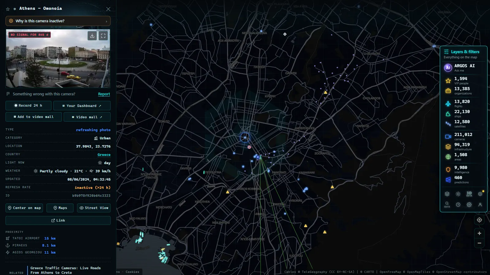
Attica: Attiki Odos, the Athens ring and the airport run
Attiki Odos (A6) is the toll ring that connects Elefsina to the airport at Spata, with the Ymittos link cutting south. It has the best instrumented control room in Greece and the least generous publication policy: status text and variable message signs, no open camera list.
In Athens itself, the roads that clog are the Kifisos axis heading north, Kifisias Avenue, Mesogeion and the Poseidonos coastal road toward Glyfada. None of them has a public CCTV grid. What Athens does have in quantity is city view cameras (the Acropolis, Syntagma, Lycabettus, the Piraeus harbour mouth) plus the port cameras, which are the ones worth opening on a Friday in August when the ferry traffic backs up onto the access road. If you want the wider picture of how European capitals compare on this, the country by country guide to European traffic cameras sets Athens against cities that publish far more.
From the ARGOS ATLAS channel.
Patras, the Rio bridge and the western corridor
Olympia Odos runs the A8 from Elefsina through Corinth to Patras, the fastest road in the country and the one most tourists use without noticing. Traffic reality on it is concentrated in three places: the Corinth Canal crossing, the Kiato and Aigio exits, and the final approach into Patras where the motorway meets the new port.
Just north of Patras, the Rio to Antirrio bridge is a separate operation with its own concession, and it is the one piece of Greek infrastructure whose public information is genuinely operational: when the northerly wind gets up, the bridge restricts motorbikes and high sided vehicles, and that gets announced. Cross it and you are on the A5 (Ionia Odos) heading to Agrinio and Ioannina.
Patras port webcams are the useful ones here. They show the ferry ramps for the Italian crossings and, behind them, the queue on the access road. When the frame is empty and the sailing is in an hour, that is real information.
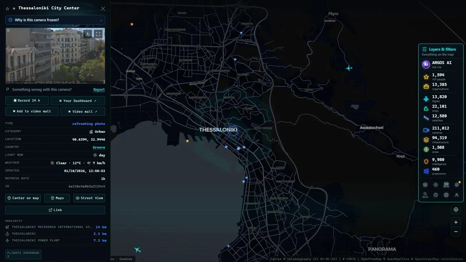
Crete: the BOAK and an island that runs on harbour webcams
Crete is the hardest case in Greece. The northern coastal axis, the BOAK, runs from Kissamos through Chania, Rethymno, Heraklion and Agios Nikolaos toward Sitia, and it has spent years as a state road under piecemeal upgrade rather than a concession with a public information service. There is no island-wide camera network and no realistic prospect of one appearing soon.
What Crete has instead is a thick layer of tourism and weather cameras: the Venetian harbour in Chania, the Rethymno seafront, the Heraklion port entrance near the airport exit at Nea Alikarnassos, Agios Nikolaos on the lake. Inland there are weather cameras on the Omalos plateau and around Psiloritis that tell you whether the mountain roads are passable.
What you will not find: anything on the Sfakia road down to the south coast, anything in the Kourtaliotiko or Aradena gorges, and nothing at all on the eastern run past Ierapetra. On those roads you are driving blind, and the honest answer is to plan for it.
Northern Greece: the Egnatia and the Thessaloniki ring
The A2 (Egnatia Odos) crosses the north from Igoumenitsa on the Ionian to Kipoi on the Turkish border, through Ioannina, Grevena, Kozani, Thessaloniki, Kavala and Alexandroupoli. The Metsovo section with its long tunnels is the winter chokepoint. Its cameras stay internal, but the weather stations at Metsovo and around Ioannina cover the same weather.
Thessaloniki's inner ring road is the other place worth watching, and the border crossings are the third: Evzoni for North Macedonia, Promachonas for Bulgaria and Kipoi for Turkey, where freight queues build in a way no road camera in Greece will show you directly.
Who publishes each of the Greece traffic cameras
| Corridor | Who runs it | What is public | Best available view |
|---|---|---|---|
| A1 Athens to Skarfeia | Nea Odos | Incidents and closures, text only | Weather cams at Thiva, Lamia |
| A1 Maliakos to Kleidi | Aegean Motorway | Incidents, winter warnings | Domokos and Platamonas weather cams |
| A6 Attiki Odos | Attiki Odos | Status and message signs | Athens city and port webcams |
| A8 Elefsina to Patras | Olympia Odos | Incidents and toll info | Corinth and Patras port cams |
| Rio to Antirrio bridge | Gefyra | Wind restrictions, closures | Antirrio and Patras area cams |
| A2 Egnatia Odos | Egnatia Odos | Incidents, winter closures | Metsovo and Ioannina weather cams |
| BOAK, Crete | State and region | Almost nothing | Harbour and mountain webcams |
For scale, compare that with countries whose road authorities do publish (counts as of September 2026): Spain carries 10,914 public cameras on the map, of which 1,948 come from the DGT alone, and the London area carries 1,420. Greece has hundreds of usable public feeds, but they come from dozens of small publishers rather than one agency, which is exactly why the country never got a tidy camera page. The contrast with a neighbour that did solve this is worth seeing in the guide to Italy's Autostrade and ANAS cameras.
What Greece traffic cameras will not show you
Be clear about the limits before you plan around them:
- No tunnel interiors. Tempi, Metsovo, Ymittos: all monitored, none public.
- No toll plaza queues. The operators see them, you do not.
- Most islands have one camera or none. Outside Crete, Rhodes and Corfu, expect a single harbour view.
- Stills, not video. A picture several minutes old is normal, and a frozen frame usually means the camera or its source has dropped out rather than that the road is empty.
- Seasonal blackouts. Beach and ski cameras go dark out of season and come back without notice.
How to watch Greek roads on the map
Open the live map with every public camera in one place, zoom onto Greece and the camera layer fills in as you go: the Attica basin first, then the A1 corridor, then the Cretan coast. Click a marker and the card gives you the live image plus the name of whoever publishes it, so you know whether you are looking at a road authority or somebody's weather station.
Two things make the Greek view better than the cameras alone. Switch on ships and Piraeus, Patras and Igoumenitsa turn into live ferry boards, which tells you when the port access road is about to fill. Switch on flights and the Athens and Heraklion approaches show up, which in August is a decent proxy for how busy the airport exit will be. The map is free, needs no account, and carries 200,000+ public cameras worldwide (count as of September 2026), so the same trick works the moment you cross a border.
Frequently asked questions
Is watching Greek traffic cameras free, live and without an account?
Yes. Every feed described here is published by its owner (a weather network, a municipality, a port authority) and shows in the browser with no signup, no app and no payment. On the ARGOS ATLAS map the Greek cameras sit next to flights and ships on the same screen, also free and with no registration.
Is there one official website with all Greek motorway cameras?
No, and that is the single most important thing to know. The A1, A2, A5, A6 and A8 are run by different concession companies, each with its own control room, and none of them publishes an open camera grid. What they publish is text: incidents, lane closures and weather restrictions. The pictures come from other networks.
Can I see the A1 through the Tempi valley or inside the tunnels?
Not directly. The tunnel and valley CCTV belongs to the motorway operator and stays in the control room. The nearest usable views are weather station cameras in the towns either side of the corridor, plus the coastal cameras around Platamonas and Katerini once the road reaches the sea.
Why does Crete have so few road cameras?
Because the northern coastal axis (the BOAK) has been a state road under permanent upgrade rather than a tolled concession with a public information service. There is no island-wide camera network. What Crete does have is a dense layer of harbour, seafront and mountain weather cameras in Chania, Rethymno, Heraklion and Agios Nikolaos.
Why does a Greek camera show the same picture for a long time?
Most Greek feeds are stills, not video, and they refresh on a timer of several minutes. On top of that, seasonal cameras at ski areas and beaches go offline out of season, and rural stations drop out during power cuts. A frozen frame usually means the source stopped, not the road.
- North Carolina Traffic Cameras: I-40, Charlotte and NC-12
- Sichuan traffic cameras: what the map shows and what it doesn't
- Missouri traffic cameras: MoDOT, KC Scout and Gateway Guide
- Croatia Traffic Cameras: the A1, Pelješac and the Adriatic
- Arizona Traffic Cameras: ADOT Live Views on I-10, I-17, I-40
- Czech Republic Traffic Cameras: D1, D5 and D8 Live in Winter