Blog · Traffic cameras
Live Traffic Cameras in Japan: NEXCO Expressways, National Police Agency and Road Sensors
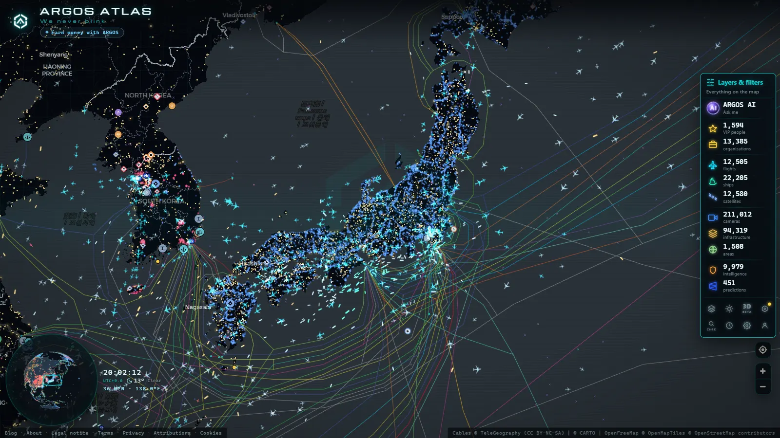
The essentials, in 20 seconds
- NEXCO: runs the toll expressway camera network through three divisions (East, Central, West), created in 2005 when the Japan Highway Public Corporation was privatised.
- National Police Agency: enforces national routes (kokudo) and operates Traffic Control Centres that build real-time congestion maps.
- VICS: pushes traffic data through three channels (infrared roadside beacons, FM radio and expressway beacons), forecasting congestion up to 30 minutes ahead.
- Tokyo Metropolitan Expressway: cameras sit at virtually every interchange, among the highest camera densities per square kilometre anywhere.
- Hanshin Expressway: a separate operator covering the Osaka, Kyoto, Kobe and Nara corridor with its own monitoring system.
Asia's Most Precise Road Monitoring Network
Japan operates one of the most sophisticated road monitoring infrastructures on the planet. The combination of extraordinary traffic density, mountainous terrain and an institutional culture built around precision has produced a surveillance network that covers toll expressways, national routes, tunnels, bridges and urban intersections, all in real time.
Tools such as ARGOS ATLAS now make it possible to access many of those live feeds directly, watching vehicle flow on the Tomei Expressway connecting Tokyo to Nagoya, the approaches to Osaka Port or the tangle of elevated highways threading through central Tokyo, from any internet-connected device anywhere in the world.
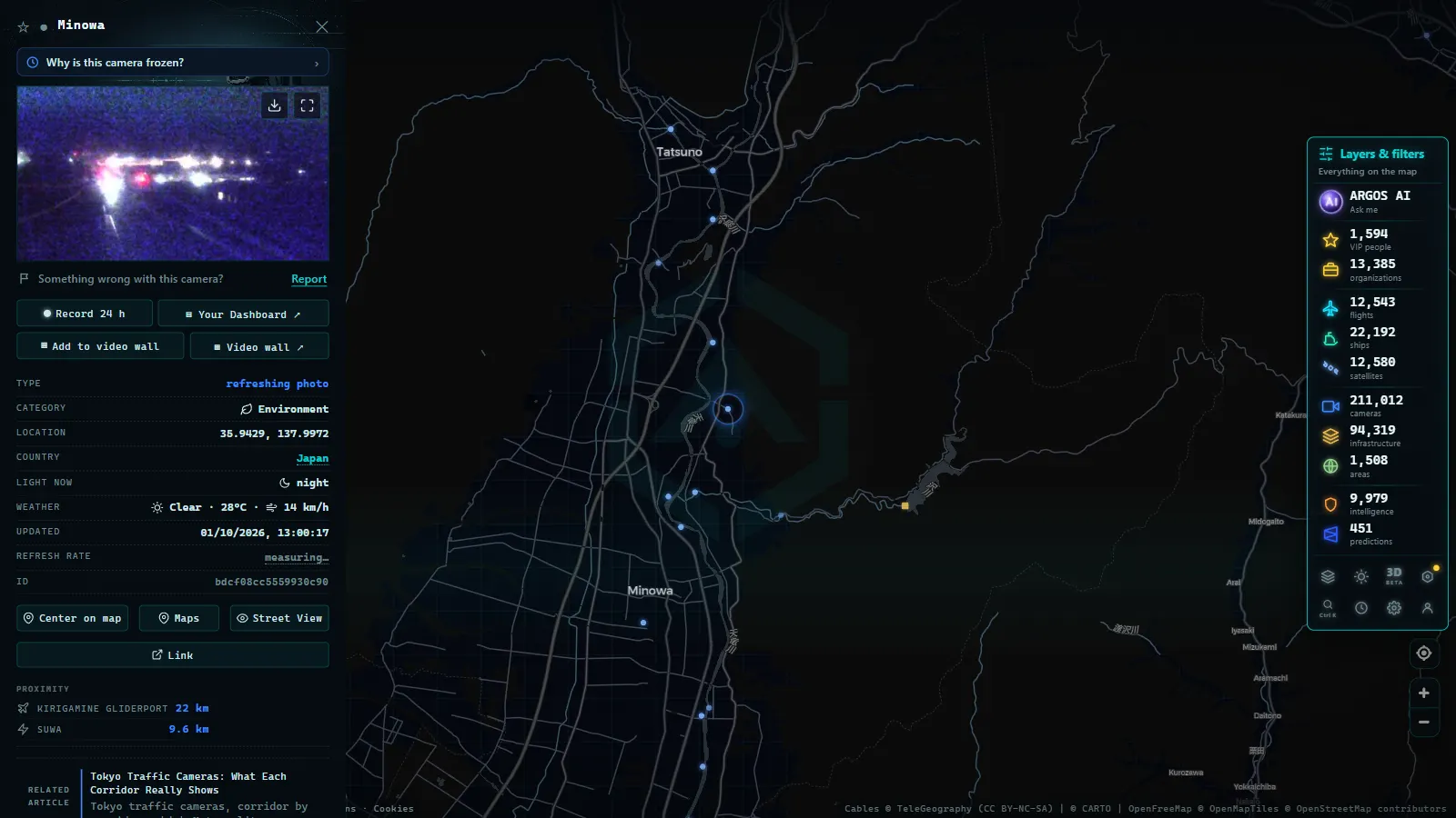
NEXCO: The Corporation That Built the Expressway Network
The backbone of Japan's road monitoring system is the three divisions of NEXCO (Nippon Expressway Company Limited), created in 2005 when the Japan Highway Public Corporation was privatised:
- NEXCO East: covers Hokkaido, Tohoku, Kanto and surrounding areas. Operates routes including the Tohoku Expressway and the Ken-O Expressway.
- NEXCO Central: manages the central corridor, including the iconic Tomei Expressway (Tokyo–Nagoya) and the Chuo Expressway.
- NEXCO West: administers the Kansai region toward Kyushu, with expressways such as the Meishin and the San-yo.
Each division deploys monitoring cameras at regular intervals along its routes. The objective extends well beyond enforcement: images feed control centres that can coordinate variable-message signs, trigger fog or ice alerts and dispatch assistance vehicles within minutes of an incident being detected.
High-Density Camera Zones
The densest installations cluster around the highest-risk or highest-demand stretches:
- Tokyo access points: the interchanges of the Metropolitan Expressway have near-continuous camera coverage.
- Mount Fuji corridor: both the Tomei and Chuo expressways pass close to the volcano; cameras monitor fog and rapidly changing weather.
- Japanese Alps tunnels: in the Nagano region, high-altitude tunnels require constant surveillance due to accident risk and sudden temperature shifts.
"In Japan the road is not merely mobility infrastructure, it is an integrated system of sensors, cameras and decision centres working in real time to minimise response time to any incident."
From the ARGOS ATLAS channel.
The National Police Agency and National Routes
While NEXCO handles the toll expressways, the network of national routes (kokudo) falls under the Ministry of Land, Infrastructure, Transport and Tourism (MLIT), with road safety and traffic enforcement managed by the National Police Agency (NPA).
The NPA operates through its prefectural divisions and works alongside Traffic Control Centres (TCC) distributed across the country. These centres receive data from cameras, inductive loops embedded in the road surface and speed sensors to produce real-time congestion maps that are distributed through VICS (Vehicle Information and Communication System).
VICS: The System That Ties Everything Together
VICS is the traffic information network that pushes road data to vehicle navigation systems throughout Japan. It operates via three channels:
- Infrared roadside beacons at urban intersections: deliver point-specific information as vehicles pass.
- FM radio signals: broadcast traffic data for long-distance routes.
- Expressway beacons: real-time systems for high-speed expressway management.
Cameras operated by the NPA and MLIT feed into this system, building a layer of road intelligence that Japanese drivers consult daily through their in-vehicle GPS units. Predictive algorithms running on the aggregated data can publish congestion estimates up to 30 minutes ahead.
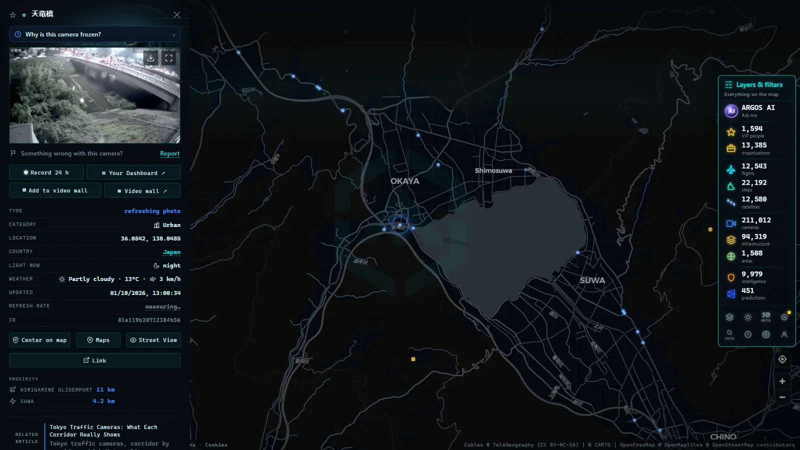
Tokyo: The City with the Highest Camera Density per Square Kilometre
The Tokyo Metropolis runs its own parallel network through the Tokyo Metropolitan Police Department and the Tokyo Metropolitan Government. The Metropolitan Expressway (a web of elevated and underground roads threading through the capital) has cameras at virtually every interchange and along the most congested stretches.
Municipal data integrates with the national system to produce near-continuous coverage across Greater Tokyo. During peak hours this network allows controllers to divert traffic from the C2 inner ring toward alternative routes using dynamic message signs updated in real time.
Osaka and the Kansai Corridor
The second major concentration of camera infrastructure lies in the Kansai corridor linking Osaka, Kyoto, Kobe and Nara. The Hanshin Expressway, operated by a separate public company, runs its own monitoring system covering the most critical links in the Osaka metropolitan area. Data from the Hanshin network feeds the same regional traffic management framework, giving operators a unified picture of movement across the entire conurbation.
The Shinkansen and Rail Corridors
Although the Shinkansen runs on tracks entirely segregated from road traffic, Japan Railways (JR) and its regional divisions also deploy cameras along high-speed lines. Their function differs from road cameras: rather than monitoring vehicles, they detect obstructions on the track, landslides in mountain zones or the presence of people in prohibited areas.
These cameras form part of the Shinkansen's passive safety system, which also includes seismic sensors capable of automatically halting trains upon detecting earthquake activity. The integration of cameras, sensors and early-warning systems makes the Shinkansen a global benchmark in rail safety.
Beyond Video: Multi-Sensor Integration
What sets the Japanese system apart from most others globally is the depth of integration between data sources. Video cameras are only one component:
- Inductive loop detectors in the pavement measure speed, lane occupancy and vehicle classification.
- Roadside weather stations record road surface temperature, wind speed and visibility.
- Snow and ice sensors trigger automatic alerts along northern corridors.
- ETC systems (Electronic Toll Collection) generate anonymised journey-time data at scale.
All these streams converge in NEXCO and NPA control centres where traffic prediction models generate congestion estimates published to motorists through VICS and roadside panels. The result is a feedback loop between infrastructure and driver behaviour that keeps Japan's expressways running at a level of efficiency rare anywhere else in the world.
Exploring Japan's Road Network on ARGOS ATLAS
ARGOS ATLAS aggregates public traffic camera feeds from dozens of countries, with Japan prominently represented on the map. To explore the Japanese road network:
- Open the map at argosatlas.com and navigate to the Japanese archipelago.
- Enable the traffic cameras layer from the layers panel.
- Zoom into major expressways: the Tomei, the Meishin, the Tohoku Expressway or the Metropolitan Expressway network around Tokyo.
- Click camera icons to access available live streams.
You can also combine the cameras layer with the live flights layer to simultaneously observe air traffic over Tokyo (Haneda and Narita airports) alongside vehicle flow on the capital's access roads.
For a comparative perspective, see our article on traffic cameras in South Korea to contrast the monitoring systems of East Asia's two leading technology nations.
A Replicable Model
Japan's road monitoring framework has served as a reference for projects in Singapore, Taiwan and several Latin American countries seeking to modernise traffic management. The formula of sustained public investment, multi-source data integration and open distribution to drivers through VICS is one that few systems have matched in effectiveness.
For OSINT researchers, urban mobility analysts or anyone simply curious about how traffic flows on the other side of the world, Japan's camera network offers a privileged window into one of the most complex and best-managed road systems on earth.
Frequently asked questions
What is NEXCO and why does it operate traffic cameras?
NEXCO (Nippon Expressway Company) is the company that operates Japan's toll expressways, split into NEXCO East, NEXCO West and NEXCO Central. It installs cameras along its expressways to monitor vehicle flow, detect incidents and manage traffic in real time.
How many traffic cameras does Japan have on its national road network?
Japan operates tens of thousands of cameras spread across NEXCO toll expressways, national routes monitored by the National Police Agency and municipal systems in major cities such as Tokyo, Osaka and Nagoya.
Can I watch Japan's traffic cameras on ARGOS ATLAS?
Yes. ARGOS ATLAS aggregates public traffic camera feeds from around the world, including key nodes of the Japanese road network. Open the map, enable the cameras layer and zoom into major expressways to access available live streams.
- Traffic Cameras in the Netherlands: Rijkswaterstaat, A1, A2, A4 and the Amsterdam and Rotterdam Networks
- Live Traffic Cameras in Portugal: Brisa, Infraestruturas de Portugal and the A1 Motorway
- Live Traffic Cameras in Switzerland: Alpine Passes, ASTRA and Road Conditions
- Live Traffic Cameras: How to Monitor Global Road Conditions
- Local Traffic Updates: See Any Road Live on One Map (Free)
- US Traffic Cameras: All 511 Feeds on One Live Map