Blog · Traffic cameras
Michigan Traffic Cameras: MDOT's Live Feed on One Map
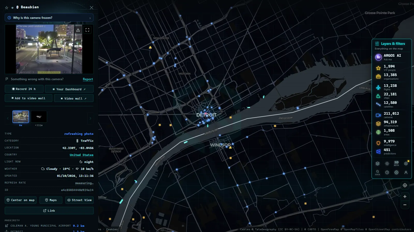
Michigan runs one of the biggest state-operated freeway camera networks in the country, built primarily around one job: telling drivers what the road looks like before lake-effect snow, a crash, or a slowdown on the Lodge Freeway ruins their commute. A meaningful slice of that network is already live on ARGOS ATLAS, with no login and no app, you open the map, find Michigan, and the feed is there.
This guide covers what's actually in the catalog, which corridors carry most of the coverage, who operates the cameras, and (because that's the part most guides skip) what the feed genuinely can't show you: cameras that have gone dark, rural stretches with no coverage at all, and the lag between what you see and what's happening on the asphalt right now.
The essentials, in 20 seconds
- MDOT runs Michigan's freeway camera network as part of its intelligent transportation system, the same infrastructure behind Mi Drive, the state's traveler-information service.
- 200,000+ public cameras worldwide (count as of September 2026) share the ARGOS ATLAS map with Michigan's MDOT feed.
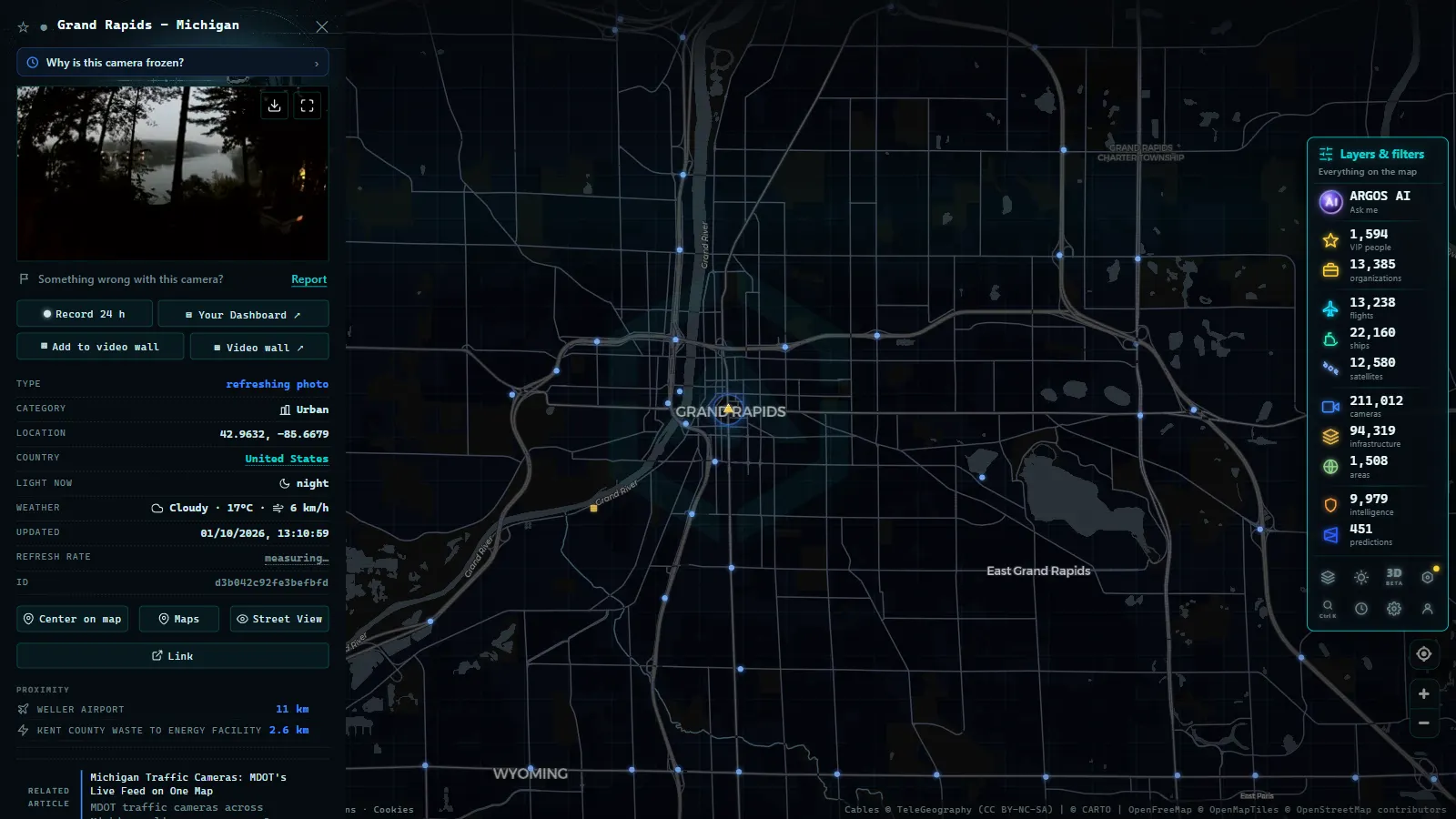
- I-94, I-96 and I-75 carry the densest camera clusters, concentrated around Detroit, Grand Rapids and the Mackinac Straits.
- The Mackinac Bridge cluster gets checked more than its small size suggests, since high winds can force closures.
- MDOT has no verified camera count of its own yet, unlike New York's 511NY (2,972) or Illinois' IDOT (1,042).
What's in the Michigan traffic cameras catalog on ARGOS
Michigan's cameras are part of a wider live catalog: 200,000+ public cameras worldwide (count as of September 2026) sit on the same map, spanning traffic authorities, ports, weather stations and city operators across dozens of countries. Michigan's contribution is a state DOT feed, the same category as two networks that already have their own guides here, New York's 511NY, at 2,972 live cameras (count as of August 2026), and Illinois' IDOT feed, at 1,042 (count as of August 2026). Michigan's MDOT network sits in that same tier of state-run coverage, distinguished by what it's built to watch for: winter, not just congestion.
Unlike the national US roundup, which spreads across every state that publishes a public feed, this guide stays inside Michigan and gets specific about corridors, operators and what's actually visible camera by camera.
| State DOT feed | Source | Live cameras (Aug 2026) |
|---|---|---|
| New York | 511NY | 2,972 |
| Illinois | IDOT | 1,042 |
| Michigan | MDOT | counted within the wider catalog, not yet broken out as its own source line |
That last row is deliberate honesty, not a gap in the writing: Michigan's MDOT feed doesn't have its own verified count in our figures yet, so this guide won't invent one. What we can say with confidence is where the cameras cluster and why, which is more useful for planning a drive than a raw total anyway.
Who operates Michigan's road cameras
MDOT runs the state's freeway camera network as part of its intelligent transportation system (ITS), the same infrastructure behind Mi Drive, Michigan's official traveler-information service. The cameras exist for two jobs: spotting incidents and congestion in real time, and (because Michigan sits between three Great Lakes) tracking winter road conditions before they turn into closures. In the Detroit metro area, some cameras are managed through regional traffic operations centers working alongside MDOT rather than MDOT running every feed solo. That matters if a camera looks different in resolution or refresh rate from one freeway to the next: it's likely a different operator behind it, not a broken feed. Mi Drive itself is worth knowing about, but it only shows Michigan; ARGOS puts the same feeds next to every other camera, flight and ship on the map, which is the point of checking it here instead.
From the ARGOS ATLAS channel.
Where Michigan traffic cameras cluster: the corridors that matter
Coverage isn't spread evenly across the state. It concentrates on the routes that carry the most traffic and the routes most exposed to lake-effect weather:
- I-94, the Detroit-to-Chicago spine along Michigan's southern tier, plus the stretch through Detroit itself where it interchanges with I-96 and I-75.
- I-96, Detroit to Grand Rapids, running straight into the west-Michigan snow belt.
- I-75, the state's north-south spine, from the Ohio line through Detroit, Flint and Saginaw up to the Mackinac Straits, passing near the Detroit–Windsor border crossing, one of the busiest freight corridors between the US and Canada.
- US-131, the Grand Rapids corridor, another route that gets hit hard by lake-effect bands off Lake Michigan.
- I-696 and the Detroit metro interchanges, dense urban coverage where MDOT and regional operators both have cameras watching the same few miles of freeway from different angles.
- The Mackinac Straits crossing, a small but closely watched cluster, given how often high winds force restrictions on the bridge.
If you're trying to check conditions before a specific drive, start at the interchange nearest your route rather than scrolling the whole state, Michigan's camera density drops off fast once you leave the interstate spine.
Winter driving: why Michigan leans on live cameras
Michigan's geography is the reason this network exists in the first place. Lake-effect snow off Lake Michigan hammers the western corridor (Grand Rapids, Muskegon, the US-131 approach) with bands that can dump inches an hour while a few miles east the road is dry. The Upper Peninsula deals with its own lake-effect off Lake Superior, on top of far less camera coverage overall. And the Mackinac Bridge adds a hazard unique to the state: sustained wind can force partial or full closures, which is exactly why the Straits cameras get checked more than their small number would suggest.
The same logic applies to mountain-pass conditions anywhere snow decides a route in minutes rather than hours, if that's the kind of check you're used to making before a drive, the mountain pass camera guide covers the same idea for terrain instead of lake bands.
How to read Michigan traffic cameras live on ARGOS
On the live map, Michigan's cameras show up as part of the same traffic-camera layer that covers the rest of the catalog, there's no separate Michigan-only view to hunt for. Zoom into the state and the interstate corridors listed above will show the densest clusters, especially around Detroit and the I-96/US-131 stretch toward Grand Rapids. Click a camera icon to pull up its current frame; most state DOT feeds refresh every few seconds to a couple of minutes, not as continuous video, so treat what you see as a recent snapshot rather than a live broadcast. Zooming out puts Michigan's cameras next to every other layer on the map (flights, ships, power infrastructure) which is useful if you're checking conditions along a route that crosses state lines, not just inside Michigan. If a camera near your route looks empty or won't load, don't assume the road is clear, assume the feed is down and check a neighboring camera on the same corridor instead.
What you won't see on the map
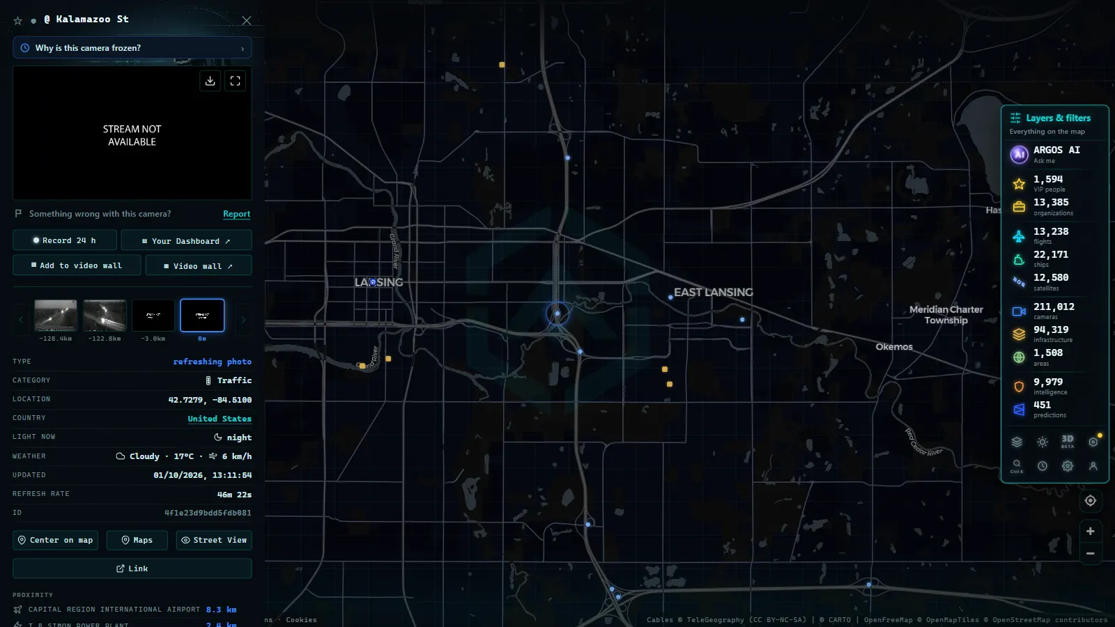
This is the part worth saying plainly, because it's the difference between a useful tool and a false sense of certainty. MDOT doesn't publish a public uptime log, so a camera can go dark from a power fault, storm damage or routine maintenance with no notice anywhere on the map, it just stops updating. Rural Michigan, and most of the Upper Peninsula beyond the I-75 spine, has sparse coverage at best; a two-lane state highway forty miles from an interstate almost certainly has no camera at all. Refresh latency varies by feed, so during the exact moment a storm is worst (when the picture matters most) some cameras update slower than the conditions are changing. And a camera that loads a clear frame doesn't mean the road is currently clear: it means the road looked that way when the frame was captured, which could be several minutes old. For a broader look at why cameras drop out and what to do about it, this explainer on camera downtime covers the causes across every state feed, not just Michigan's.
Used with that caveat in mind, live cameras are still the fastest way to get a real look at a Michigan freeway before you commit to it, faster than waiting on a traffic app's incident report, and more concrete than a generic weather forecast for the whole state.
Frequently asked questions
Are Michigan traffic cameras free to watch on ARGOS ATLAS?
Yes. The map is free, live and doesn't require an account. You open it, find Michigan, and the MDOT feeds already in the catalog load straight from the source, no signup, no paywall.
Who runs the traffic cameras on Michigan's highways?
The Michigan Department of Transportation (MDOT) operates the state's freeway camera network as part of its intelligent transportation system, mainly to monitor congestion, crashes and winter road conditions on interstates and state trunklines. Some metro-area cameras are run jointly with regional traffic operations centers rather than MDOT alone.
Do Michigan traffic cameras cover the whole state?
No. Coverage clusters on interstates and other high-volume trunklines, the Detroit metro freeways, the I-96/US-131 corridor toward Grand Rapids, and the I-75 spine up to the Straits. Rural two-lane roads and most of the Upper Peninsula have little to no camera coverage.
Why does a Michigan traffic camera sometimes show nothing or an old image?
Cameras go offline for maintenance, power loss or storm damage without warning, and MDOT doesn't publish a public uptime log. Some feeds also refresh a still frame every few seconds rather than streaming continuous video, which can look 'stuck' during heavy snow, exactly when the picture matters most.
Can I see the Mackinac Bridge camera on the map?
If MDOT's feed for the Straits crossing is active in our catalog, yes, it's one of the more closely watched cameras in the state because of wind restrictions on the bridge. Bridge-authority cameras and MDOT road cameras aren't always the same feed, so treat what you see as a road-conditions snapshot, not an official bridge-status page.
- Jakarta Traffic Cameras Live, on a Map
- Utah Traffic Cameras UDOT: Live on a Map
- Milan Traffic Cameras Live: 2 Airports, 1 Plant, 0 City Cams
- Naples Traffic Cameras Live: What You Can Really Watch
- Palermo live cameras and port: ferries, cruises and flights
- Turin Traffic Cameras: the 3 Roads That Decide Your Trip