Blog · Traffic cameras
Ho Chi Minh traffic cameras: reading a city on two wheels
Ho Chi Minh City moves on two wheels, and that single fact changes how you read a traffic camera there. A frame packed edge to edge with vehicles would mean gridlock on a Spanish motorway. On Điện Biên Phủ at eight in the morning it can mean traffic is flowing perfectly well. If you are checking the Saigon Bridge before a ride to the airport, or you simply want to see what rush hour looks like in District 1, the images are public. What you need is to know who publishes them and what the frame is actually saying.
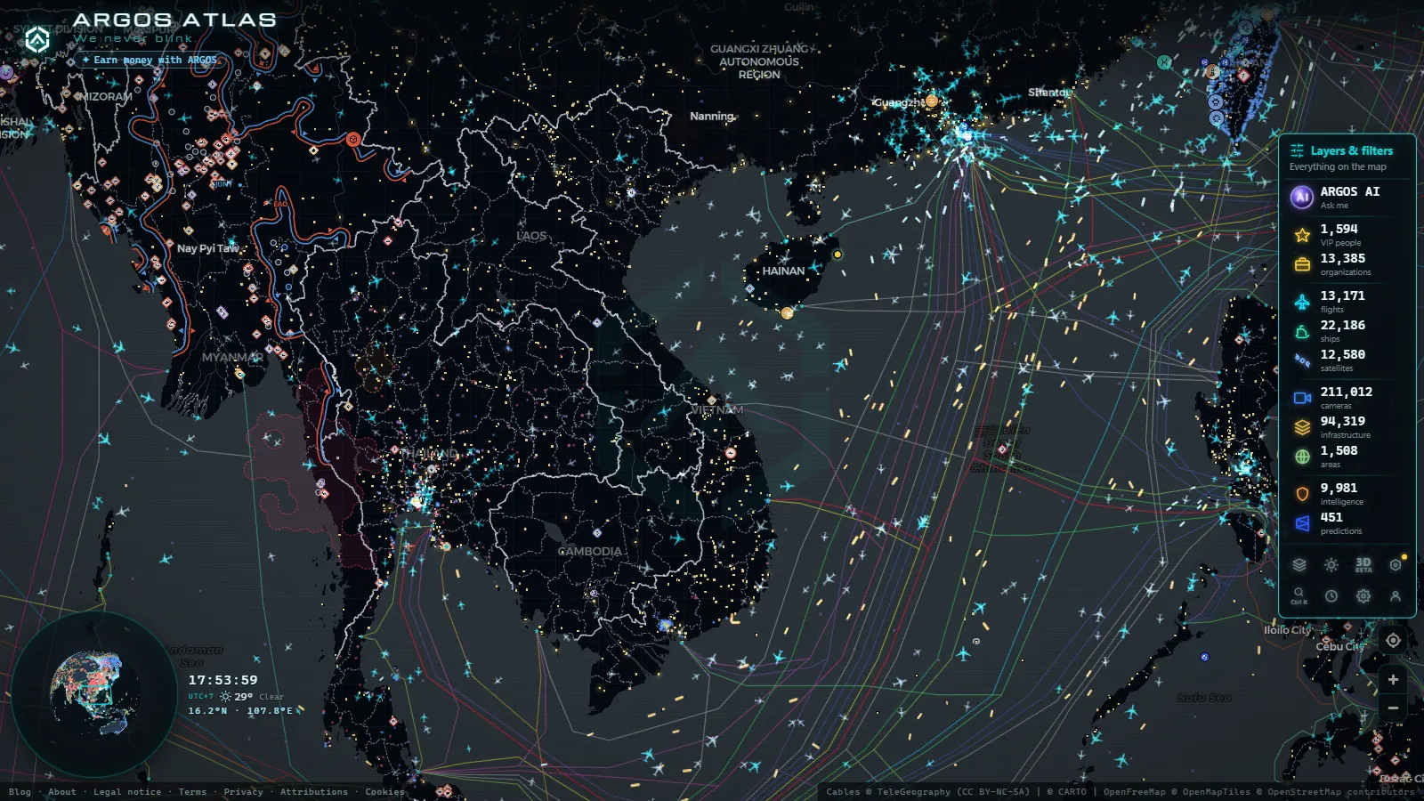
This is a guide to the municipal network, to the bridges and tunnels that decide whether the city moves, and to the limits. One of those limits is ours: ARGOS ATLAS carries 200,000+ public cameras worldwide (count as of September 2026), and Vietnam's municipal feeds are not among the sources ingested today. So part of what follows is about where the images actually live, and part is about what our map does put over the city.
Who runs the Ho Chi Minh traffic cameras
The cameras you can see belong to the city, not to a private operator. They are run from the Urban Traffic Management and Operations Centre (Trung tâm Quản lý Điều hành Giao thông Đô thị), the control room that also drives the variable message signs and the signal timings on the main corridors. It sits under the city's transport administration, which was reorganised in 2025 when transport functions were folded into the Department of Construction. The organisation chart changed; the cameras did not move.
The centre publishes a public map portal: camera points, a still image behind each point that refreshes on a cycle, and a colour layer grading the main corridors from free flowing to congested. That colour layer is worth as much as the pictures. It comes from the centre's own sensors and camera analytics, and it tells you where to look before you start opening thumbnails one by one.
Two things are deliberately absent from that portal. Enforcement cameras, the ones that read plates for red light and speed penalties, feed the traffic police and are not published anywhere. And the private aggregator apps advertising "Saigon traffic cameras" are, in the main, re-embedding the same official frames. If two sites show you an identical image, it is because there is one source behind both. That is a general rule worth internalising, and it is why knowing whether a webcam is official matters more than how many cameras a site claims to have.
One boundary note. The 2025 administrative merger extended Ho Chi Minh City toward Bình Dương and Bà Rịa-Vũng Tàu. The camera network still concentrates on the old core plus Thủ Đức, so "city cameras" now covers a smaller share of the administrative city than it did before.
The bridges and tunnels that set the pace
The Saigon River cuts the city in two, and almost everything that matters passes through a handful of crossings and interchanges. Learn these eight points and you can diagnose the city from a phone screen without opening fifty thumbnails.
| Chokepoint | What it carries | What to look for in the frame | Honest caveat |
|---|---|---|---|
| Saigon Bridge | Hanoi Highway and Võ Nguyên Giáp from Thủ Đức into Bình Thạnh | Strong direction asymmetry: inbound in the morning, outbound in the evening | The metro line runs alongside part of this axis, so surface counts no longer track total demand |
| Thủ Thiêm Tunnel | District 1 to Thủ Thiêm under the river, with separate motorbike lanes | Whether the motorbike lane is moving while the car lanes are not | Stills only, and night maintenance closures are rarely flagged on the portal |
| Phú Mỹ Bridge | The ring route, container trucks from Cát Lái toward the south | Truck queues stacking on the approach ramps | The lorries that matter move outside the inner city curfew hours |
| Bình Triệu Bridge | The northern entry from Phạm Văn Đồng and National Route 13 | Backups that reach the bridge deck itself, the classic morning failure | Coverage thins quickly north of here |
| Hàng Xanh roundabout | Điện Biên Phủ, Xô Viết Nghệ Tĩnh and Bạch Đằng converging | The flyover deck versus the surface: they jam independently | Riders shelter under the flyover in rain, which reads as a false jam |
| Trường Sơn | The single main road into the Tân Sơn Nhất terminals | Taxi and ride hail stacking at the terminal kerb | An airport inside the city means no alternative route worth taking |
| An Sương interchange | National Routes 1 and 22, the north west gateway toward Tây Ninh | Long distance coaches and freight mixing with local motorbikes | Outer district cameras are sparser and go dark more often |
| Nguyễn Hữu Cảnh | The riverside link between Bình Thạnh and District 1 | Standing water after a downpour, the city's best known flooding street | Night plus rain makes this camera close to unreadable |
Why motorbikes make Ho Chi Minh traffic cameras read differently
European and North American cameras train you to count cars and measure the gaps between them. That method fails here, and it fails in a specific, learnable way.
Density is not delay. A frame filled wall to wall with two wheelers can be moving at 25 or 30 km/h. Motorbikes pack tighter than cars, so the same volume of traffic occupies far less road and looks far worse in a photograph. The visual that means gridlock in Madrid means normal Tuesday on Cách Mạng Tháng Tám.
Judge by blur, not by fill. Most public frames are stills pulled on a slow refresh cycle, and here that is a gift. Motorbikes in motion smear across the exposure. Stopped motorbikes are sharp, and you can count the helmets. A sharp, countable frame is a stopped frame; a soft one is a moving one. That single test reads faster than any congestion colour.
The real jam signal is the pavement. When the carriageway saturates, riders climb onto the pavement. If you can see two wheelers threading along the kerb line or between the street trees, the road ahead is genuinely blocked, not merely full.
Look at the tail, not the stop line. At a red light the front of the queue fills with motorbikes in seconds and empties just as fast on green. The stop line always looks dramatic. What matters is whether the queue runs off the edge of the frame and whether the cars behind it have moved between two refreshes.
A truck in a central frame at rush hour is news. The city restricts heavy goods vehicles inside the inner ring during peak windows, which is why container traffic concentrates on the Đồng Văn Cống, Mai Chí Thọ and Phú Mỹ Bridge corridor. A line of containers on a District 1 camera at six in the evening usually means a diversion is in force somewhere else.
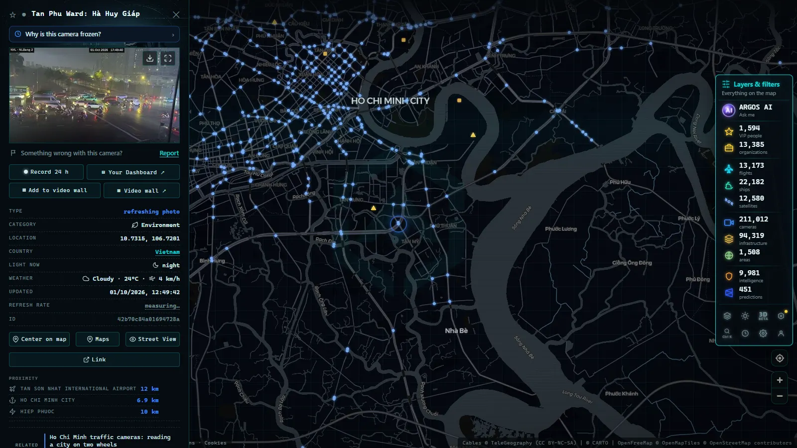
Rain rewrites all of it. In the wet season, roughly May to November with the downpours concentrated in the late afternoon, the flow does something no European camera will ever show you: it stops and shelters. Riders pull up under flyovers and overpasses in a solid mass, then release all at once when it eases. A camera at Hàng Xanh during a storm shows a motionless crowd under the deck and an empty road beside it. That is not congestion, it is weather, and it clears in ten minutes.
The closest published parallels we have are Jakarta's traffic camera network, where the same motorbike physics apply, and Taiwan's traffic cameras, where scooters dominate the surface streets while the freeways read like European ones. For the mechanics of the equipment itself, how traffic cameras work and why they are public covers the general case.
From the ARGOS ATLAS channel.
What the Ho Chi Minh traffic cameras will not show you
This is the part most guides skip. The public feeds are stills on a refresh cycle, not streaming video, so you are always looking at the recent past rather than the present. For a bridge that saturates in ninety seconds, the difference is real.
Cameras drop out and the dead thumbnails stay in the list, showing you a frozen frame from hours earlier with no warning label. The tell is a scene that never changes between two page loads and light that does not match the local hour. That failure mode is universal, and we wrote it up in detail in why a traffic camera stops working.
Coverage is dense in the old core, in Bình Thạnh and along the Thủ Đức corridors, and thin everywhere else. Củ Chi, Cần Giờ, Nhà Bè and the newly merged areas have little or nothing. Night is the other hard limit: many of these sensors handle low light poorly, and between the rain and the sodium street lighting you often get an orange smear with headlight flares rather than a readable road. Labels are in Vietnamese, usually a street name plus a district or junction reference, so a machine translation of the point list is a reasonable first move.
Watching Ho Chi Minh City from another time zone
The city runs on Indochina Time, UTC+7, with no daylight saving. The morning peak sits roughly between 06:30 and 08:30 local, which is 23:30 to 01:30 UTC the night before. The evening peak, the heavier of the two, runs roughly 16:30 to 19:00 local, or 09:30 to 12:00 UTC. From Spain in summer that lands between 11:30 and 14:00, which makes the busiest frames of the day easy to catch during a European lunch break.
Two calendar effects are worth knowing. Around Tết, the lunar new year in late January or February, the roads out toward the provinces jam for a couple of days and then the city empties for about a week: the cameras show a version of Ho Chi Minh City almost nobody sees. And through the wet season the evening peak and the daily downpour frequently coincide, which is when the shelter effect described above turns the images briefly unreadable.
What our map shows over Ho Chi Minh City today
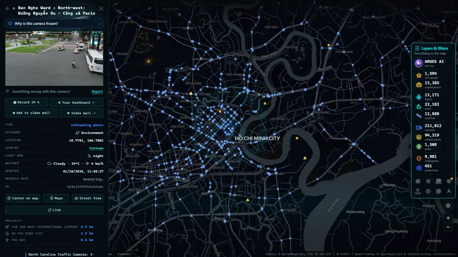
Straight answer first: no Vietnamese municipal camera feed is ingested into ARGOS ATLAS at the moment, so for the street level frames you want the city's own portal. Saying otherwise would waste your time.
What the live map does put over the city is the rest of the picture. Aircraft on ADS-B, so you can watch the approach and departure pattern at Tân Sơn Nhất, which sits inside the built up area and is the reason the Trường Sơn corridor never really relaxes (12,338 aircraft airborne at the moment of the count). Vessels on AIS along the Saigon River up to Cát Lái and out to the Cái Mép terminals, drawn from 21,507 ships shown out of 34,290 tracked. The ports layer, 1,081 of them worldwide, and the power infrastructure layer with 34,936 assets, which together explain a good part of why the freight corridors run where they run.
Used alongside the municipal portal, that is a workable combination: the city's frames for the street, our layers for the traffic that never touches the street. And when the camera network does reach mainland Southeast Asia, this is the article that will change first.
Frequently asked questions
Are Ho Chi Minh traffic cameras free to watch, and do I need to register?
Yes, they are free and no account is needed. The city's Urban Traffic Management and Operations Centre publishes its camera map openly, and any site charging you for those frames is reselling a public feed. ARGOS ATLAS is also free and registration free, although its camera layer does not include Vietnamese municipal feeds today.
Can I watch the Thu Thiem Tunnel live?
The centre operates cameras at both portals and inside the tube, and their frames appear on the public portal. What you get is a still image on a refresh cycle rather than continuous video, so you see the state of the tunnel a few tens of seconds ago. Night maintenance closures are common and the portal does not always flag them.
Why do the images look jammed when the traffic is actually moving?
Because motorbikes pack far tighter than cars, so the same volume of traffic fills the frame edge to edge while still moving at 25 or 30 km/h. The reliable test is blur: motorbikes in motion smear across a still frame, stopped ones are sharp enough to count helmets. If you can count them, the road is stopped.
What time is rush hour in Ho Chi Minh City?
Roughly 06:30 to 08:30 and 16:30 to 19:00 local time, which is Indochina Time, UTC+7. For a viewer in Spain in summer that puts the evening peak between 11:30 and 14:00 CEST, so the busiest frames land in the middle of your working day. The evening peak often collides with the wet season downpours.
Does ARGOS ATLAS carry Vietnamese traffic cameras?
Not today. The camera layer holds 200,000+ public cameras worldwide (count as of September 2026) and no Vietnamese municipal feed is among the ingested sources. What the map does show over the city is live air traffic into Tan Son Nhat, AIS vessel positions on the Saigon River and the Cai Mep approaches, and the port and power infrastructure layers.
- Idaho Traffic Cameras: I-84, I-90 and US-95 on One Live Map
- Morocco live map: 42 cameras, ships and flights in real time
- Tennessee traffic cameras: I-40, I-24 and I-75 corridors
- Alabama Traffic Cameras: I-65, I-20 and I-10 on One Map
- Perugia Traffic Cameras: The E45 and Ponte San Giovanni
- Alaska Traffic Cameras: Ice, Polar Night and Mountain Passes