Blog · Traffic cameras
Tennessee traffic cameras: I-40, I-24 and I-75 corridors
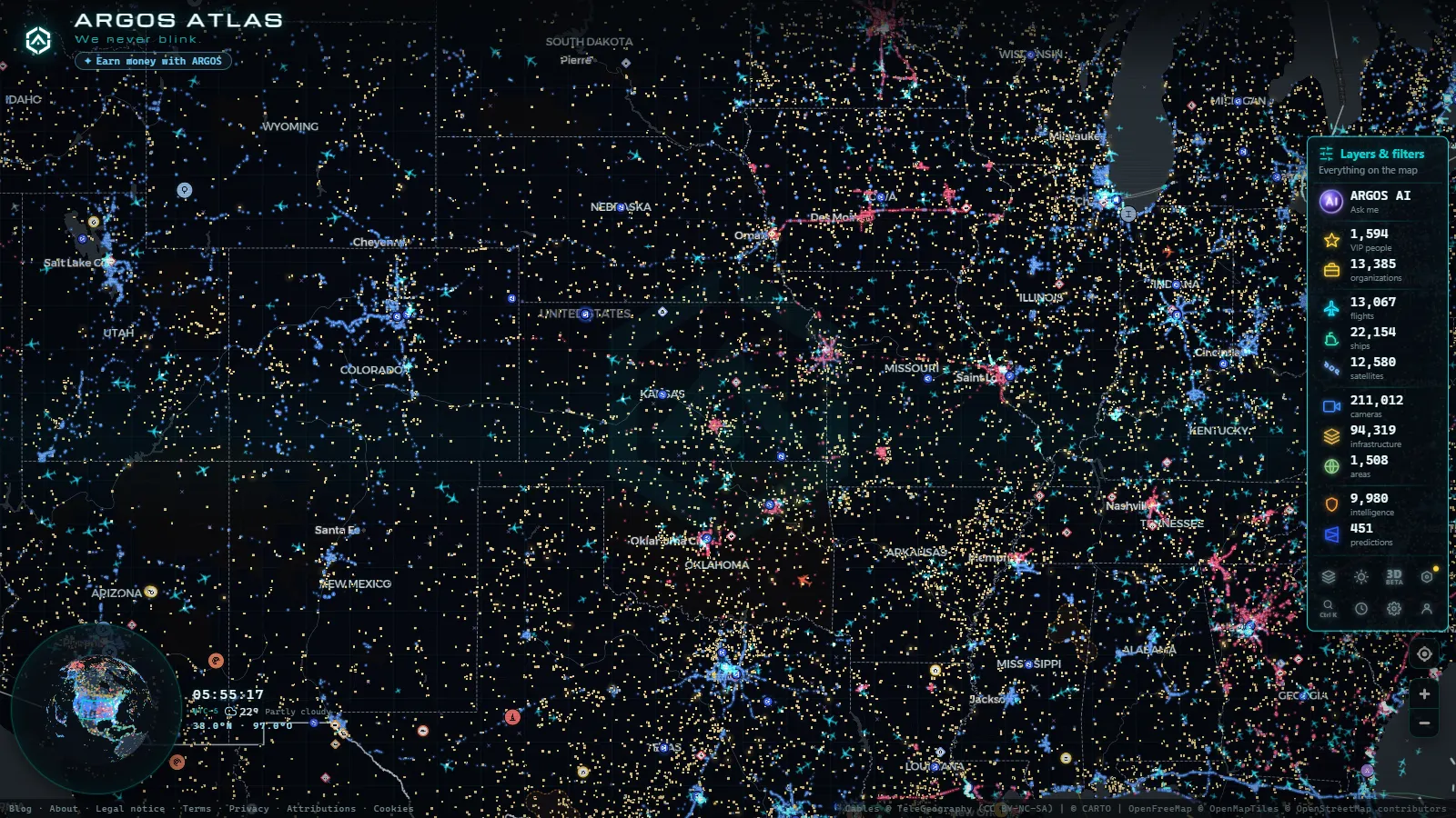
Tennessee traffic is shaped like a letter. I-40 draws the long horizontal stroke from Memphis through Nashville to Knoxville, and I-24 and I-75 drop down to the state's southeast corner at Chattanooga. Almost every serious backup in Tennessee happens on one of those three roads, on the urban loops that feed them, or on a mountain grade between them. And almost every public camera pointed at that traffic belongs to one agency: the Tennessee Department of Transportation, through the system it calls SmartWay.
That single fact explains most of what you will find and most of what you will not. Tennessee is a state highway camera state. If your question is about an interstate, there is probably a camera near enough to answer it. If your question is about the light at the end of your street in East Nashville, there almost certainly is not, and no amount of searching will produce one.
What a Tennessee traffic camera actually shows you
TDOT operates traffic management centres covering its regions, with the big four metros (Memphis, Nashville, Chattanooga, Knoxville) each running their own operations floor. The cameras are pan, tilt and zoom units on poles, mast arms and bridge structures, and they exist so an operator can confirm an incident before dispatching a HELP truck or posting a message on an overhead sign. Public viewing is a side effect of that job, not the purpose of it.
Three consequences follow, and they are worth internalising before you trust what you see.
First, most published feeds are still images on a refresh cycle, not continuous video. Live here means a photograph taken recently, which is enough to see stopped traffic and not enough to watch a vehicle move.
Second, the operator owns the camera. If somebody swings a unit to look at a crash on the shoulder, your view swings with it. A camera labelled with a mile marker can spend an hour pointing at the ramp behind it, and the label will not change.
Third, image quality is modest on purpose. Low resolution, no audio, no plate detail, no face detail. This is the same design logic behind public feeds everywhere, and it is why traffic cameras across the United States look uniformly grainy compared to the security camera on a corner shop.
Tennessee traffic cameras on I-40: Memphis, Nashville, Knoxville
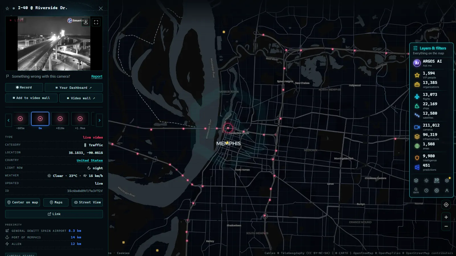
Memphis. The cameras that matter most in west Tennessee are the ones watching river crossings. I-40 crosses the Mississippi on the Hernando de Soto Bridge, the arched one locals call the M bridge, and I-55 crosses on the older Memphis and Arkansas Bridge downstream. There are only two crossings, so when one closes the alternative is the other, and the camera at each approach tells you in one glance whether the queue has already formed. Around that, coverage is dense on the I-240 loop, on the I-40 and I-240 interchanges and along the industrial approaches near the airport. Note the hard edge: TDOT's coverage stops at the state line, so the West Memphis side of the bridge belongs to Arkansas and appears on a different system. The same applies going north on I-55 toward the Missouri traffic cameras run by MoDOT.
Between Memphis and Nashville. Coverage thins out fast. Through the rural stretch past Jackson the cameras cluster at interchanges and around the Jackson urban area, with long unwatched gaps in between. A crash out there is visible on the map as a queue at the next camera downstream, not at the crash itself.
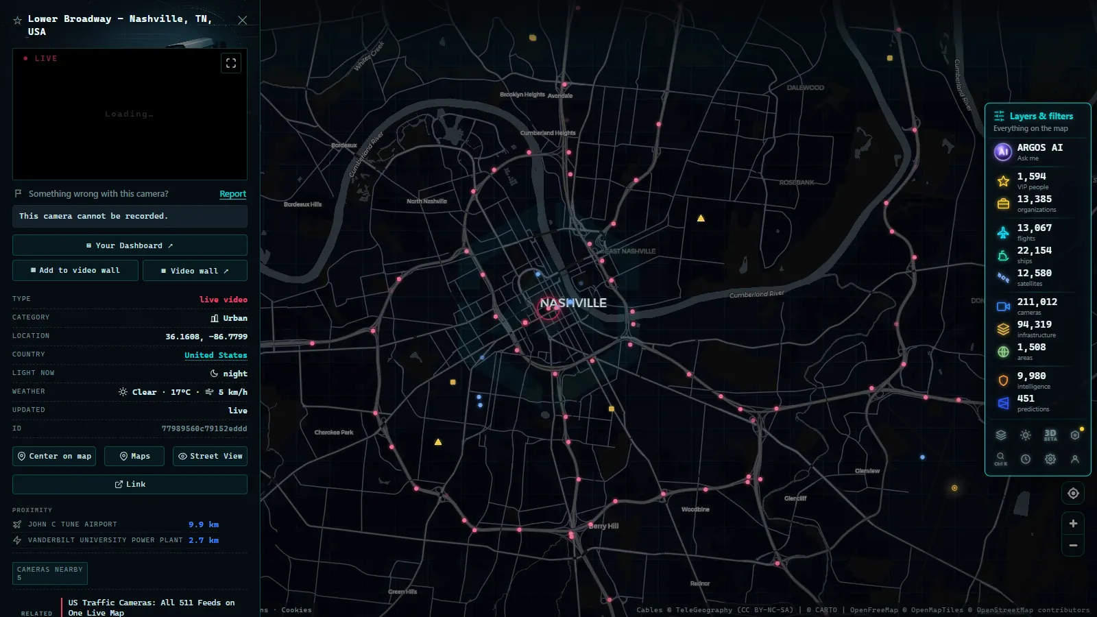
Nashville. The densest camera cluster in the state, and the busiest operations floor. I-40, I-24 and I-65 all converge inside the loop, and the loop itself, plus I-440 and Briley Parkway, is heavily instrumented. The commuter corridors radiating out (I-24 southeast toward Murfreesboro, I-65 south through Brentwood and Franklin, I-24 northwest toward Clarksville) are covered well past the county line, which reflects where the daily congestion actually is rather than any tidy rule about road class.
Knoxville. Two things make Knoxville unusual. I-40 and I-75 run together on a concurrency west of the city, so one incident blocks two interstates at once, and the I-640 bypass exists precisely to absorb that. Cameras cover the concurrency, the downtown I-40 corridor and the I-640 split closely. East of Knoxville, I-40 climbs into the Pigeon River Gorge toward the North Carolina line, where rockslides and weather closures are a recurring fact of life. That corridor continues into the I-40 cameras on the North Carolina side, and checking both is the only way to plan that drive honestly.
I-24 and I-75: fog, grades and the Chattanooga funnel
I-24 leaves Nashville as a commuter road and turns into a mountain road. Past Murfreesboro it climbs the Cumberland Plateau at Monteagle, a long steep grade with runaway truck ramps, and it collects fog and ice in conditions that leave the valleys clear. In winter the Monteagle cameras are among the most watched in Tennessee, and for good reason: the difference between a wet road and a white one is exactly what a snapshot can tell you.
I-75 comes up from Georgia through Chattanooga, where it meets I-24 in a funnel that squeezes long haul freight and local commuting into the same lanes at the same hours. North of there the road runs through Cleveland, Athens and Sweetwater to Knoxville, crossing river bottoms that generate dense ground fog. TDOT operates a fog detection and warning system on that stretch, built after a catastrophic multi vehicle pileup in fog, and the cameras there are part of a wider setup with variable speed limits and gates rather than standalone viewing. Further north, past Knoxville, I-75 climbs Jellico Mountain toward the Kentucky line, another grade where a camera earns its keep.
From the ARGOS ATLAS channel.
Corridor by corridor: coverage and blind spots
| Corridor | Segment | Who operates the cameras | What you actually see | Where it goes dark |
|---|---|---|---|---|
| I-40 / I-55 | Memphis metro and the river bridges | TDOT SmartWay (Memphis) | Both Mississippi crossings, the I-240 loop, airport approaches | The Arkansas bank, which is a separate state system |
| I-40 | Jackson and rural West Tennessee | TDOT SmartWay | Interchanges and the Jackson urban area | Long rural gaps between exits |
| I-40 / I-65 / I-24 | Nashville inner loop, I-440, Briley | TDOT SmartWay (Nashville) | The densest coverage in the state, including commuter radials | City intersections and surface arterials |
| I-40 | Cumberland Plateau, Cookeville | TDOT SmartWay | Interchange views, weather conditions on the climb | Sparse coverage between towns |
| I-40 / I-75 | Knoxville concurrency and I-640 | TDOT SmartWay (Knoxville) | The double interstate section and the bypass split | Secondary routes around the ridge lines |
| I-40 | Pigeon River Gorge to the state line | TDOT SmartWay | Gorge conditions, closure points | The North Carolina side, on NCDOT's system |
| I-24 | Murfreesboro, Monteagle grade | TDOT SmartWay | Commuter queues, fog and ice on the mountain | The plateau back roads used as detours |
| I-24 / I-75 | Chattanooga | TDOT SmartWay (Chattanooga) | The junction funnel and downtown approaches | Signal cameras inside the city |
| I-75 | Hiwassee bottoms to Jellico Mountain | TDOT SmartWay | Fog system corridor, grades toward Kentucky | Rural stretches between the mountain sections |
State cameras versus city cameras in Tennessee
This is the distinction that trips people up when they go looking for Tennessee traffic cameras and find a wall of dead links.
TDOT SmartWay cameras are the state layer. They sit on interstates and a handful of heavy state routes, they are named consistently by route and mile marker, they publish snapshots openly, and they all appear on one map. If you can name the interstate, you can usually find the camera.
Municipal cameras are a different animal. Nashville, Memphis and Chattanooga all run cameras at signalised intersections, mostly for signal timing and incident verification by city traffic engineers. Some cities publish a subset of these; many publish none. The ones that do publish tend to offer very low frame rate snapshots on a city portal with no consistent naming and no guarantee of uptime, because nobody's job depends on the public seeing them.
There is a third category people confuse with both: enforcement cameras. Red light and speed enforcement devices in Tennessee are not viewing cameras, they are evidence systems, and their imagery is never public. If a feed is public, it is not enforcement.
A working rule of thumb: interstate means TDOT and probably viewable, city intersection means municipal and probably not, and anything advertised as showing you a specific vehicle is neither.
What Tennessee traffic cameras will not show you
The honest list matters more than the feature list.
- No archive. Public feeds are ephemeral. Yesterday's image is gone, and there is no public rewind for the crash you missed.
- No identification. Plates, faces and vehicle detail are not resolvable at highway distance on a compressed snapshot, by design.
- No rural certainty. Camera placement follows congestion and funding, not geography. Large parts of Middle and West Tennessee simply have no eyes on the road.
- Poor nights. Outside lit interchanges, a colour camera at night gives you headlight streaks and little else. In fog it gives you fog, which is itself useful information on Monteagle or the Hiwassee bottoms.
- Outages. Construction cuts fibre, storms cut power, and some units stay frozen on a cached frame for weeks. The reasons a feed dies are the same everywhere, and they are worth knowing before you assume the road is clear: see why a traffic camera stops working for the failure patterns.
Watching the three corridors on one live map
The practical annoyance with Tennessee is that a single trip crosses agencies. Memphis to Little Rock is TDOT plus Arkansas. Knoxville to Asheville is TDOT plus NCDOT. Chattanooga to Atlanta is TDOT plus Georgia. Each has its own map, its own naming and its own refresh behaviour.
Our live traffic camera map exists to collapse that. It aggregates public camera feeds worldwide (200,000+ cameras, count as of September 2026), so you pan across a state line and the cameras keep appearing instead of stopping. Open the map, zoom into Tennessee, and the SmartWay units along I-40, I-24 and I-75 sit alongside their neighbours on the same screen. No account, no payment, nothing to install.
One Memphis specific trick: the same map carries live flight data, and Memphis International is a freight hub whose real activity happens between midnight and dawn. Watching the cargo bank land while the I-240 cameras are empty is a decent picture of how that city actually works at night.
A five minute routine before a Tennessee drive
- Identify your corridor and your two chokepoints. On I-40 west that is the river bridges, on I-24 south that is Monteagle, on I-75 north that is Jellico.
- Check the camera before the chokepoint, not at it. Queues form upstream, and an upstream camera shows you a problem several minutes earlier.
- Check a second camera further back. If both are stacked, the incident is real and large. If only one is, you may be looking at a camera pointed at a ramp.
- In winter, look at the road surface colour and the spray behind trucks rather than the sky. Wet, slushy and white look nothing alike even at low resolution.
- If a feed is frozen, skip it rather than trusting it, and use the next one on the same route.
Do that and the cameras will earn their keep. Expect them to tell you who is on the road, or to show you the accident that closed it, and they will disappoint you every time.
Frequently asked questions
Are Tennessee traffic cameras free to watch, and do they need an account?
Yes, they are free and no registration is needed. TDOT publishes its SmartWay camera images as a public service, and third party maps that pull the same feeds, including ours, keep them open too. Anyone who asks you to pay or sign in to see a state highway camera is reselling something that was already public.
Are the images really live?
Close to it, but not video. Most public Tennessee feeds are still images refreshed on a short cycle, so what you see is a snapshot from seconds or a couple of minutes ago. That is fine for judging whether a lane is blocked and useless for watching a vehicle move.
Can a traffic camera in Tennessee read my license plate?
Not on the public feed. Resolution and compression on published snapshots are too low for plates or faces at highway distance. Automated plate readers and red light enforcement cameras are separate hardware on separate networks, and their images are never published on the SmartWay map.
Why does a camera keep showing the same frozen image?
Usually a dead link between the pole and the traffic management centre, so the last good frame stays cached. Power cuts, fibre damage during construction and long term hardware failures do the same thing. If the timestamp stops advancing, treat the camera as offline and use the one before or after it on the same corridor.
Does TDOT cover the whole state or only the interstates?
Mainly the interstates and a handful of busy state routes around the metros. Rural two lane roads, most county roads and almost every city intersection have no public camera at all, so a quiet stretch of the SmartWay map means no coverage rather than no traffic.
- Alabama Traffic Cameras: I-65, I-20 and I-10 on One Map
- Perugia Traffic Cameras: The E45 and Ponte San Giovanni
- Alaska Traffic Cameras: Ice, Polar Night and Mountain Passes
- Cagliari Traffic Cameras: SS131, Elmas Airport and the Port
- Treviso traffic cameras: the A27, the A4 and the passes north
- Padua Traffic Cameras: the Tangenziale, the A4 and the A13