Blog · Traffic cameras
Alabama Traffic Cameras: I-65, I-20 and I-10 on One Map
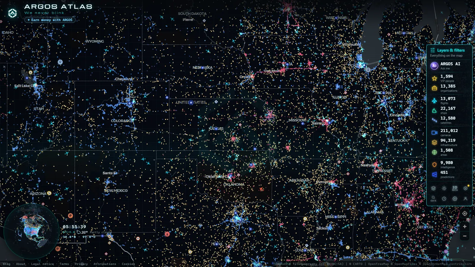
Alabama puts most of its public traffic cameras in exactly the places a Gulf storm walks through. The network is run by ALDOT and published through ALGO Traffic, and it is built around three interstates: I-65 running north to south from Birmingham through Montgomery to Mobile, I-20 and I-59 crossing the state on the diagonal, and I-10 along the coast. That is also the evacuation skeleton of the state, which is the uncomfortable part. The cameras you most want to check during a hurricane warning are the ones most likely to be dark when you need them.
This is a corridor by corridor guide to what Alabama actually shows you, and an honest account of what happens to those feeds when the weather turns. All of it sits on the same dark map as everything else we track, a catalogue of 200,000+ public cameras (count as of September 2026), so you can follow traffic from the Mobile Bayway into the Florida panhandle without switching sites.
The essentials, in 20 seconds
- ALDOT: runs Alabama's public traffic cameras and publishes them through ALGO Traffic, built around three interstates (I-65, I-20/I-59, I-10).
- 200,000+: public cameras in the catalogue this map tracks (count as of September 2026), alongside Alabama's feeds.
- Most ALDOT views: are refreshing still images, not continuous video, with nothing archived for the public.
- I-10, the Wallace Tunnel and the Bayway: the most storm-exposed corridor, the first cluster to fail under surge and wind closures.
- Twenty cameras gone together: the tell for a power or backhaul outage, not just one broken camera.
Who publishes Alabama traffic cameras
ALDOT is the main publisher. Its regional traffic management centers operate the cameras, the dynamic message signs and the incident list you see on ALGO Traffic. Coverage follows congestion and funding rather than fairness: metro interchanges have a camera every mile or so, and long rural stretches have almost nothing at all.
Everything else in the state behaves differently. City signal cameras in Birmingham and Huntsville are mostly not published. The private toll crossings in Baldwin County publish nothing useful. Beach webcams in Gulf Shores and Orange Beach belong to hotels and businesses, which matters in a storm, because a private operator can pull a feed without warning while a state feed usually just stops. For how these agency networks are wired in general, the guide to traffic cameras across the United States explains the 511 model that Alabama follows.
One thing to accept before you start: most ALDOT public views are refreshing still images, not continuous video, and nothing is archived for the public. There is no rewind. If the crash cleared ten minutes ago, it is gone.
The I-65 spine: Birmingham to Montgomery to Mobile
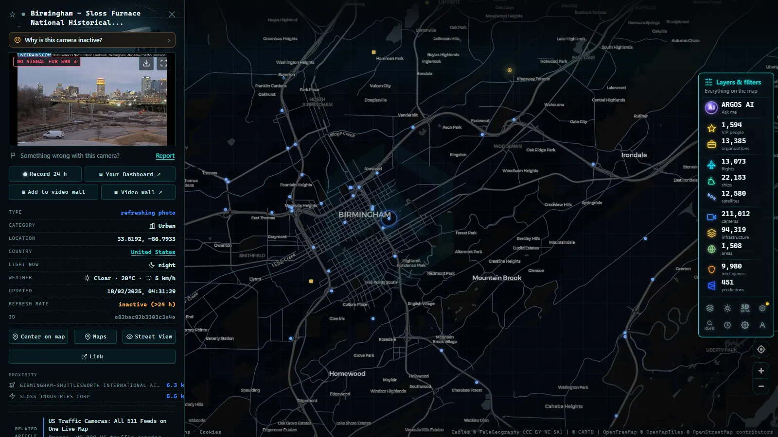
I-65 is the densest camera corridor in the state and the one that matters most during an evacuation.
The northern third is Birmingham. The interchange with I-20 and I-59 that locals call Malfunction Junction, the I-459 beltway around the south of the city, the US-280 approach and the suburban run through Hoover, Alabaster and Calera are covered closely enough to watch a queue form and spread backwards.
The middle is thinner. Between Clanton and Prattville the spacing opens up and you can lose a backup entirely between two views. Montgomery tightens again around the I-65 and I-85 interchange, with I-85 continuing east toward Auburn and the Georgia line.
South of Montgomery the density drops once more through Greenville, Evergreen and Atmore, then rises on the approach to Mobile, including the tall I-65 bridge over the Mobile River (the one everybody calls the Dolly Parton bridge). Watch that stretch during any coastal evacuation: when the beaches empty, I-65 northbound is where it becomes visible.
From the ARGOS ATLAS channel.
I-20, I-59 and the cross-state corridors
I-20 comes in from Georgia, runs through Anniston and Oxford into Birmingham, and joins I-59 for the southwest run to Tuscaloosa and on toward Mississippi. The camera clusters sit around Anniston, the Birmingham core and the Tuscaloosa exits, where a home game is its own recurring traffic event.
I-59 heading northeast through Gadsden and Fort Payne toward Chattanooga is the corridor people forget until January. It is high ground by Alabama standards and it is where ice, not water, closes lanes. The I-565 spur into Huntsville and the US-231 Memorial Parkway corridor are the other northern clusters worth bookmarking.
When one of these shows a frozen frame, it is usually the camera and not the road. Our note on why a traffic camera stops working goes through the usual causes and how to tell a dead feed from an empty highway.
I-10 and the Gulf Coast: the most exposed cameras in the state
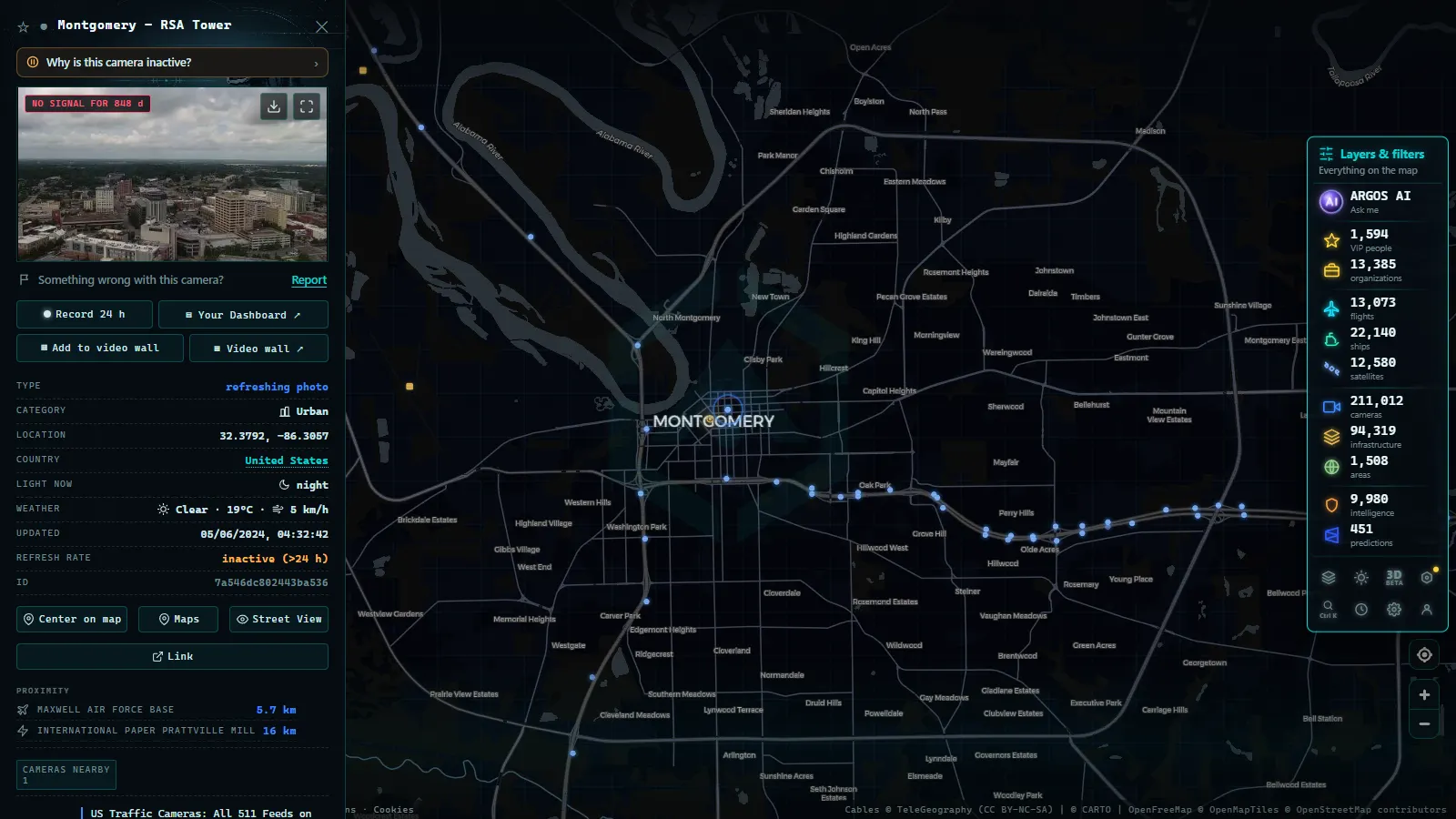
Mobile is the interesting part of Alabama for camera watching, because a handful of structures carry almost everything.
I-10 crosses the Mobile River through the Wallace Tunnel, then runs east over the bay on the Jubilee Parkway, the low causeway everyone calls the Bayway, before landing at Spanish Fort and Daphne. US-90 and US-98 carry the older Bankhead Tunnel and the Cochrane-Africatown bridge. I-165 feeds the port and the north side. East of the bay, AL-59 down through Loxley to Foley and Gulf Shores is the beach route, the one that jams first on a summer Friday and empties first under an evacuation order.
| Corridor | What the cameras cover | Storm exposure |
|---|---|---|
| I-65, Birmingham to Mobile | Dense in the metros, thin from Clanton to Prattville | Moderate. Inland and usually stays up, key evacuation flow |
| I-20 and I-59, Georgia line to Mississippi | Anniston, Birmingham core, Tuscaloosa exits | Low for tropical weather, high for winter ice in the northeast |
| I-10, Wallace Tunnel and the Bayway | Tunnel portals, bay causeway, Spanish Fort and Daphne | Highest. Surge, wind closures, first cluster to fail |
| US-90 and US-98, Bankhead Tunnel and Cochrane bridge | Older crossings and port approaches | High. Wind restrictions hit these before I-10 |
| AL-59, Loxley to Gulf Shores | Beach route and evacuation traffic | High. Coastal grid loss takes these out together |
| I-565 and US-231, Huntsville | Spur and Memorial Parkway | Low. Inland and well served by power |
What happens to Alabama traffic cameras in a hurricane warning
Three things change at once, and only one of them is the weather.
First, the traffic management centers change what the cameras are for. Operators repoint them at ramps, contraflow points and tunnel portals, so a view you saved in July may be aimed somewhere else in September. That is normal operation, not a fault.
Second, the roads close before the cameras do. The bay crossings and high bridges get restricted or shut when sustained winds reach the point where high profile vehicles are unsafe, and the tunnels close when surge is forecast to reach the portals. A working camera showing an empty Bayway is not broken, it is the closure order made visible, and it is one of the fastest ways to confirm one.
Third, demand spikes. State portals slow down badly when an entire coast refreshes them at the same minute. That is when an aggregated map earns its keep, because the image you are served may already be cached. The companion guide to live hurricane cameras covers the rest of that toolkit, including what to do when the official site stops answering.
Which Alabama traffic cameras drop first
No agency publishes a failure order, so treat this as an observed pattern rather than a specification. Storm after storm on the Gulf, the feeds go in roughly this sequence.
| Order | What fails | Cause | What you see |
|---|---|---|---|
| 1 | Rural cameras on cellular backhaul | Cell site battery runs out | Timestamp goes stale, then the view disappears |
| 2 | Exposed coastal poles | Wind rotates or knocks the housing | Still live, but framing sky, a tree or a wall |
| 3 | Whole coastal clusters | Grid power down with no generator | Ten or twenty cameras vanish in the same minute |
| 4 | Causeway and bridge cameras | Backhaul conduit cut or flooded | Survivors go dark in a line along the route |
| 5 | The portal itself | Traffic load at landfall | Everything times out, including healthy cameras |
That third row is the useful tell. One camera gone is a camera problem. Twenty gone together is a power or backhaul problem, and it maps the outage as well as any utility page.
There is a fourth failure mode that is easy to miss: the camera survives and the image is worthless. Rain on the dome at night turns a highway into grey noise, and salt film does the same by day. Both look like a working feed from a distance.
Reading the Alabama corridors on the map
Open the live map of public cameras and zoom to Mobile Bay. Click any camera and you get the publishing source and the capture time, which is the single most important field on the panel. Judge the feed by its timestamp, never by whether the road looks plausible.
Two habits pay off. Compare two cameras on the same corridor before deciding anything: if both are stale, the problem is the network, and if only one is, it is that pole. And when a storm approaches, watch the port as well as the road. The ships layer (21,257 vessels at last count, September 2026) shows the anchorage clearing out of Mobile Bay well before the highway cameras show evacuation traffic.
Because I-10 does not stop at the state line, it is worth pairing this with the Florida traffic camera map when a system is tracking along the coast. The two networks publish differently and fail at different times, so one often covers the other.
What Alabama traffic cameras cannot tell you
They will not give you plate level or face level detail, and they are not meant to. They will not give you a recording. They cover almost nothing on rural state routes, and very little inside city street grids. They do not announce closures: you infer a closure from an empty deck and a fresh timestamp, which is good enough for a decision but is not an official notice.
And during the twelve hours either side of landfall, assume partial blindness on the coast. The honest planning position is that I-65 inland will keep showing you something, and the Bayway probably will not.
Frequently asked questions
Is the Alabama traffic camera map free and live, or do I need an account?
It is free, live and there is no registration. The cameras load straight from the map with no account, no trial and no app. What you get is the current public image from the agency that owns the camera, at whatever refresh rate that agency publishes.
Who runs the public traffic cameras in Alabama?
ALDOT runs the great majority of them, through its regional traffic management centers in Birmingham, Montgomery, Mobile and the Huntsville area, and publishes them on ALGO Traffic. City signal cameras and the private toll crossings in Baldwin County are separate systems and mostly not public.
Can I rewind an Alabama traffic camera to see a crash that already happened?
No. The public feeds are live only and nothing is archived for general access. Most views are refreshing still images rather than continuous video, so once the scene clears there is no way for a member of the public to recover it.
Why do Alabama coastal cameras go dark during a hurricane?
Usually power and backhaul, not the camera itself. Cellular sites on the coast run out of battery, grid power fails across whole clusters, and causeway conduits get cut. On top of that the state portal slows under load, so cameras that are physically fine can still time out.
Does an empty Bayway camera mean the road is closed?
Often yes, but check the timestamp first. If the image is fresh and the deck is empty, you are almost certainly looking at a closure or a wind restriction. If the timestamp has not moved in twenty minutes, the camera is frozen and the road may be full.
- Perugia Traffic Cameras: The E45 and Ponte San Giovanni
- Alaska Traffic Cameras: Ice, Polar Night and Mountain Passes
- Cagliari Traffic Cameras: SS131, Elmas Airport and the Port
- Treviso traffic cameras: the A27, the A4 and the passes north
- Padua Traffic Cameras: the Tangenziale, the A4 and the A13
- Louisiana Traffic Cameras: 545 on a Live Map, I-10 and Bridges