Blog · Traffic cameras
Live Traffic Cameras in Portugal: Brisa, Infraestruturas de Portugal and the A1 Motorway
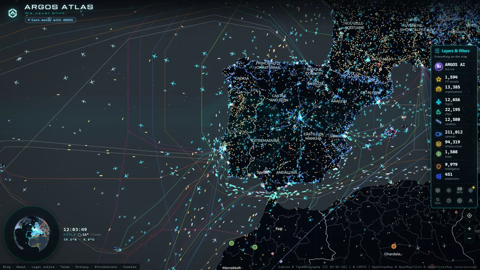
Portugal's road network and its surveillance infrastructure
Portugal has built one of the most modern motorway networks in the Iberian Peninsula over the past three decades. Stretching from the Minho Valley in the north to the Algarve in the south, thousands of kilometres of roads managed by operators including Brisa and Infraestruturas de Portugal (IP) keep people and freight moving across a country whose long, narrow territory creates distinctive north-south traffic patterns.
Real-time surveillance of that traffic is now possible thanks to an extensive camera network deployed across the country's highest-volume corridors. Whether you are planning a road trip, tracking a delivery, or monitoring conditions before leaving home, tools like ARGOS ATLAS make it possible to view those feeds from anywhere in the world, aggregating multiple operators onto a single interactive map.
Brisa: Portugal's largest private motorway operator
Brisa Auto-Estradas de Portugal is the country's dominant private motorway operator. It manages strategic corridors including the A1 (Autoestrada do Norte), the A2 (Autoestrada do Sul) toward the Algarve, the A5 coastal route to Cascais, and several radial access roads into Greater Lisbon. Its traffic management system includes closed-circuit cameras installed at viaducts, tunnels, interchange nodes and high-density sections, with images refreshed at regular intervals throughout the day.
Brisa's camera network is not purely passive surveillance. The feeds power variable message signs along the motorway, feed into real-time incident detection systems, and allow the company's control centres to coordinate emergency responses before congestion spreads downstream. A serious accident near the Alverca interchange, for example, can be detected and signalled to approaching drivers within minutes of occurring.
The A1: Portugal's backbone corridor
The A1 Autoestrada do Norte is by a wide margin the busiest road in Portugal. Its 303 kilometres link Lisbon with Porto and carry the bulk of the country's long-distance freight alongside heavy passenger traffic. Beyond domestic use, the A1 feeds into the corridor toward the Spanish border at Vilar Formoso, making it a critical link in Iberian logistics chains.
Camera coverage along the A1 is particularly dense at several key sections:
- The northern and southern approaches to Lisbon (Loures, Sacavém and Alverca)
- The Aveiro interchange, where coastal and inland flows converge
- The approaches to Greater Porto through Matosinhos and Vila Nova de Gaia
- The steeper sections between Coimbra and Leiria, where fog and ice require continuous monitoring in winter months
"Knowing the state of the A1 before you leave home can mean the difference between arriving on time and sitting in a two-hour queue. Real-time cameras are now the most reliable tool for making that call."
Infraestruturas de Portugal: the public network
Alongside the concession operators, Infraestruturas de Portugal (IP) manages the network of national itineraries (IP routes and IC routes), many of which are toll-free. This network includes high-traffic sections in metropolitan areas and regional connections that fall outside the major concessions.
IP maintains its own camera system, accessible through the official portal and increasingly integrated into third-party platforms. Coverage includes peri-urban sections in Lisbon, Porto, Coimbra and Braga, as well as critical points along national itineraries that funnel traffic toward the main motorway nodes.
Lisbon: a convergence of complexity
The Lisbon metropolitan region presents one of the most complex traffic situations on the Iberian Peninsula. Radial motorways from the north, east and south converge on a city perched on the north bank of the Tagus estuary, and the entire region depends on just two river crossings: the Ponte 25 de Abril and the Vasco da Gama Bridge.
The Ponte 25 de Abril (with its reversible lanes and one-directional toll) is one of the most closely monitored points in the entire Portuguese road network. Cameras on both the Alcântara approach on the north bank and the Almada access on the south bank capture the build-up of queues that can stretch back several kilometres during morning and evening peaks, affecting the daily commute of hundreds of thousands of people.
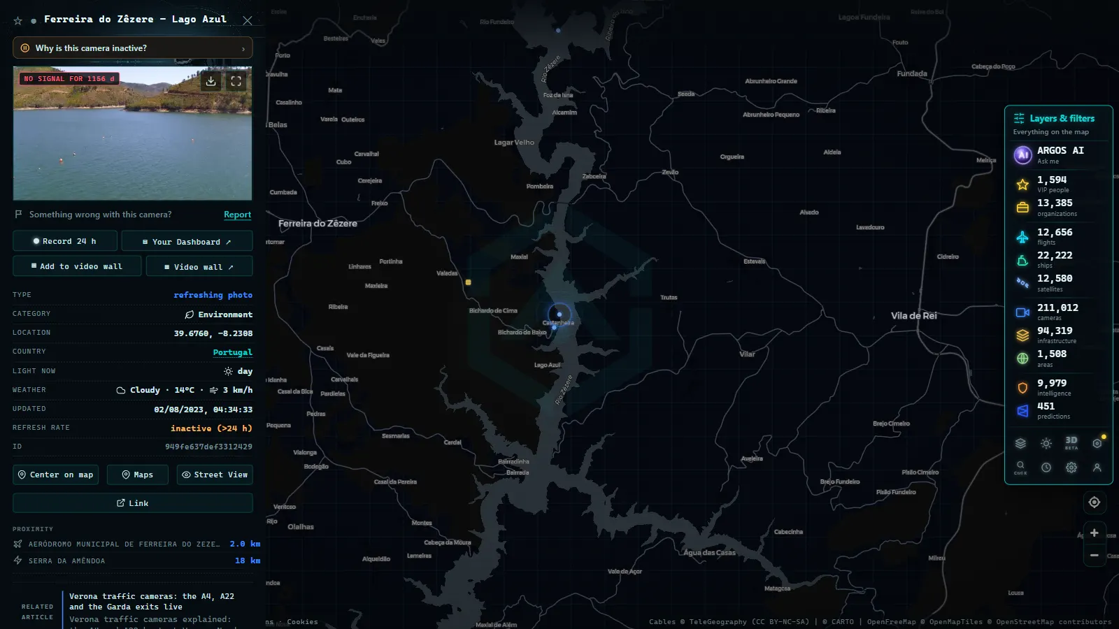
In ARGOS ATLAS, these points appear georeferenced on the map with their associated live images, allowing users to zoom into the exact section they care about without needing to know the technical camera ID or navigate multiple operator portals.
From the ARGOS ATLAS channel.
Porto and the north: Portugal's second metropolis
Greater Porto generates its own complex traffic ecosystem, with the VCI (Via de Cintura Interna) ring road as the main artery and multiple radial access roads connecting to the A1 south toward Lisbon, the A3 north toward Braga, and the A4 east toward Amarante and the Spanish border.
Traffic cameras in the Porto metropolitan area cover:
- The most congested sections of the VCI (Nó de Francos, Nó do Freixo)
- The approaches to the Ponte do Freixo and the historic Ponte da Arrábida
- The connection to Vila Nova de Gaia along the south bank of the Douro
- The access roads to Francisco Sá Carneiro Airport
Porto's traffic management has improved substantially with the integration of intelligent transport systems, and the camera network is a core component of the real-time information infrastructure that supports those systems.
Using ARGOS ATLAS to monitor Portuguese traffic
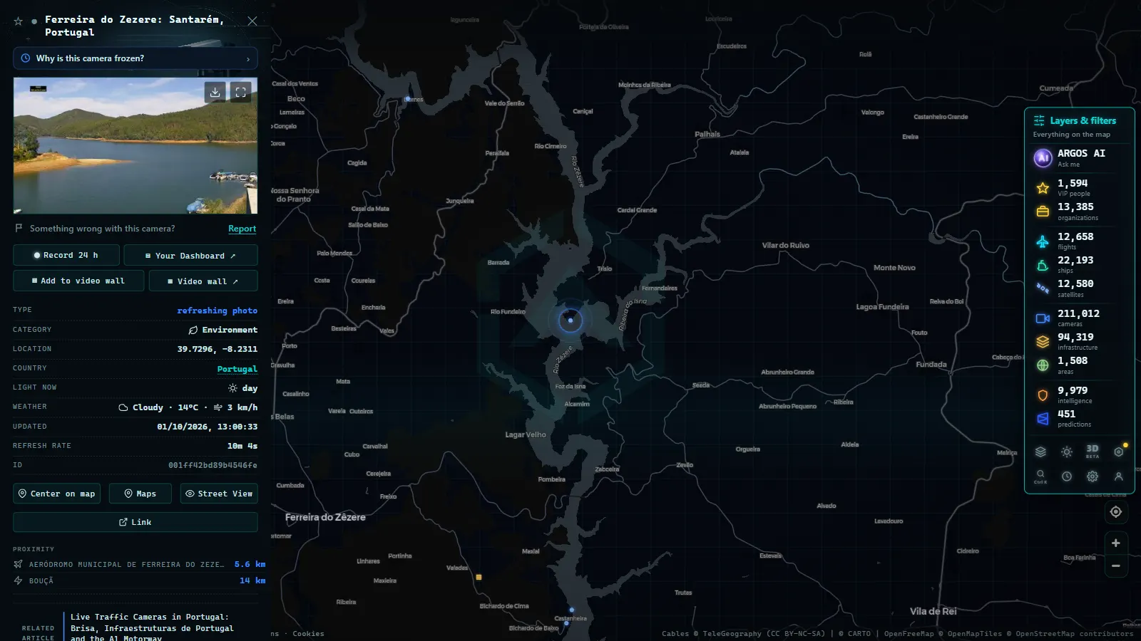
ARGOS ATLAS integrates traffic camera feeds from multiple European operators, including the main Portuguese motorway corridors. To follow road conditions across Portugal:
- Open the map at argosatlas.com
- Navigate to Portugal or search for a city (Lisbon, Porto, Coimbra, Braga)
- Enable the Cameras layer from the layer menu
- Click on any camera icon to view the live image and checkpoint information
No account creation or app installation is needed. The map runs directly in any browser, on both desktop and mobile devices.
Common use cases
- Drivers crossing from Spain: travellers entering Portugal via the A6/A23 from Extremadura or via the A3/A11 from Galicia can check road conditions before crossing the border.
- Freight and logistics: operators moving cargo between the Peninsula and the ports of Setubal, Lisbon or Leixoes use A1 and A2 cameras to optimise routing and avoid incident-related delays.
- Emergency planning: in accidents, wildfires or extreme weather events, cameras allow emergency teams and drivers alike to assess conditions before committing to a route.
For related coverage of European traffic monitoring, see the companion articles on traffic cameras in Spain and maritime port webcams.
The road ahead for Portuguese traffic surveillance
Portugal is investing in the digitisation of its transport network through its Recovery and Resilience Plan. This includes expanding the connected camera network, integrating automatic incident detection (AID) systems, and feeding open-data platforms that third-party tools like ARGOS ATLAS can use to enrich their maps.
Interoperability between operators (Brisa, IP, Lusoponte and regional concessionaires) remains a work in progress. Today, monitoring a complete journey from Lisbon to Vigo still requires consulting several separate portals. Tools that aggregate those sources into a single view are increasingly valuable for drivers, logistics companies and mobility analysts working across the Iberian corridor.
The Portuguese motorway network is efficient and modern, but its urban nodes create recurring bottlenecks that reward real-time awareness. With live camera feeds now accessible on a unified map, that awareness is within reach for anyone planning a journey or tracking the flow of traffic across one of Europe's most dynamic road networks.
Frequently asked questions
How can I watch Portugal's motorway cameras in real time?
Open ARGOS ATLAS in any browser and enable the Cameras layer. The map displays live feeds from Brisa, Infraestruturas de Portugal and other operators, updated continuously without any registration required.
Which Portuguese motorways have the best camera coverage?
The A1 Autoestrada do Norte between Lisbon and Porto has the densest camera network in the country. There is also strong coverage around the Ponte 25 de Abril and Vasco da Gama Bridge access roads in Lisbon, and along the Via de Cintura Interna ring road in Porto.
Are Brisa and Infraestruturas de Portugal traffic feeds publicly available?
Yes. Traffic imagery from Portugal's main road operators is publicly accessible through their official portals and through aggregation tools like ARGOS ATLAS, which brings all feeds together on a single interactive map at no cost.
- Live Traffic Cameras in Switzerland: Alpine Passes, ASTRA and Road Conditions
- Live Traffic Cameras: How to Monitor Global Road Conditions
- Local Traffic Updates: See Any Road Live on One Map (Free)
- US Traffic Cameras: All 511 Feeds on One Live Map
- Spain Summer Traffic Operation 2026: Dates and Live Cameras
- UK Traffic Cameras Live: JamCams, Motorways & More