Blog · Traffic cameras
Arizona Traffic Cameras: ADOT Live Views on I-10, I-17, I-40
Arizona is a state where the same traffic camera tells three different stories depending on the month. In July it shows a wall of blowing dust crossing I-10 near Picacho. In January it shows how far down I-17 the snow line has crept. On an October Sunday it shows the slow river of Phoenix plates coming back from the pines. The Arizona Department of Transportation (ADOT) publishes most of those views openly, as still images that refresh on a cycle of minutes.
This guide sticks to what is actually there: which corridors ADOT watches, which ones it leaves dark, how to read a still without fooling yourself, and what changes when you open the same feeds on a live world map. Where a number is not measured, it is written in words instead.
What Arizona traffic cameras cover, corridor by corridor
ADOT's network follows the traffic, which in Arizona means the interstates and the metro freeways. The Valley is the dense part: I-10 and I-17 through central Phoenix, plus the Loop 101, Loop 202, Loop 303, SR 51 and SR 143, are watched closely enough that there is normally a view within a mile or two of wherever you are stuck.
Outside the metros the logic changes. Cameras cluster where the road does something dangerous: a grade, a pass, a dust zone, a wash crossing. Flat stretches of I-10 in the southeast, or US 191 in the eastern mountains, go dark for many miles at a time. That is a budget decision, not a fault.
| Corridor | Key stretches | What the cameras are actually good for |
|---|---|---|
| I-10 | Ehrenberg to Phoenix, Phoenix to Tucson, Tucson to San Simon | Dust events around Eloy and Picacho, monsoon downpours, holiday flows toward California |
| I-17 | Sunset Point, the Camp Verde grade, Munds Park to Flagstaff | Finding the snow line, restrictions, Sunday afternoon southbound queues |
| I-40 | Kingman, Seligman, Williams, Flagstaff, Winslow, Holbrook | Blowing snow, crosswind conditions, long winter closures |
| I-8 | Casa Grande to Gila Bend to Yuma | Blowing dust, farm country fog near Yuma |
| I-19 | Tucson to Nogales | Border bound traffic on the state's kilometre signed corridor |
| Phoenix loops, SR 51, SR 143 | Metro Phoenix | Commute congestion and the approach to Sky Harbor |
| US 93, US 60, SR 87, SR 260, SR 89A | Wickenburg to Kingman, the Beeline, Oak Creek Canyon | Weekend flows to the rim country and Nevada, mountain weather |
There is a second layer on top of ADOT. Phoenix Street Transportation, Maricopa County DOT, Tucson and Scottsdale run their own arterial cameras, and they are not all published in the same place. When a surface street has a view and the freeway beside it does not, that is usually the reason.
The Flagstaff climb: I-17 and I-40 in winter
I-17 gains altitude fast. It leaves the Sonoran desert north of Phoenix, climbs to Sunset Point, drops into the Verde Valley at Camp Verde, then climbs again through Munds Park into ponderosa pine at Flagstaff. A storm can leave Phoenix in shirtsleeves and shut the northbound lanes at the same time, which is exactly the situation cameras solve: they show pavement instead of a forecast polygon.
Two habits pay off. Step through the cameras in route order rather than checking only your destination, because the useful information is the point where wet turns to white. And read the shoulder and the median, not the travel lanes. Traffic keeps the lanes black long after the shoulder has packed over, so a black lane with a white shoulder is the last honest warning you get.
I-40 behaves differently. It runs high and mostly level from Kingman through Seligman and Williams to Winslow, so there is no single climb to watch. What it has is wind: blowing snow can drop visibility with almost nothing falling, and closures there run long because the alternatives are hundreds of miles apart. The reading tricks are the same ones that work for mountain pass cameras and snow anywhere else. SR 89A through Oak Creek Canyon deserves a separate mention: narrow switchbacks between Sedona and Flagstaff, closed regularly for snow and rockfall, and thinly covered.
Dust and monsoon: reading I-10 between Phoenix and Tucson
Arizona's monsoon fills the second half of summer and brings the two hazards the state is known for: dense dust walls and flash flooding at washes that were dry an hour before. The I-10 stretch roughly between Eloy and Picacho has the reputation, and ADOT has instrumented it more heavily than almost anywhere else in the state, including speed limits that drop when sensors detect dust.
The honest caveat is that a camera is a poor dust detector. By the time the wall shows up in a still, the frame is simply brown, and a brown frame will not tell you whether the road ahead is closed or whether the event is two miles wide or twenty. Use the images to confirm what the alerts already said, not to decide whether to drive into it. Flooded dip crossings have the same problem: at this resolution they look like a slightly wet road.
From the ARGOS ATLAS channel.
How to read an ADOT still (and the Arizona clock trap)
Most public traffic cameras in the United States are not video. They are stills, refreshed on a cycle of minutes and served from a cache, and that has consequences:
- A frozen picture is normal. Two identical loads usually mean the camera has not refreshed, not that it is broken.
- Check the timestamp before you trust the frame. An old image from a busy hour looks exactly like a current one.
- Night views are close to useless outside lit metro areas. A desert camera at three in the morning gives you headlight streaks.
- Glare is directional and predictable. East facing cameras on I-10 wash out at sunrise, west facing ones at sunset.
- Lens dirt is a genuine failure mode here. Dust and spiderwebs blur a view long before anyone is sent to clean it.
The Arizona specific trap is the clock. The state does not observe daylight saving time, with the exception of the Navajo Nation in the northeast. For half the year Arizona matches California and for the other half Colorado, so an out of state phone can sit an hour away from the frame you are reading. The general failure modes are covered in why a traffic camera is not working.
What Arizona traffic cameras will not show you
This is where most guides stop being useful, so plainly: there is no meaningful camera coverage inside Grand Canyon National Park, and the approaches on SR 64 and US 180 are thin. Tribal lands are largely uncovered. US 160, US 191 and SR 264 across the Navajo and Hopi nations run long distances without a public view, and where one exists it tends to sit at a junction rather than along the stretch that worries you. The Arizona Strip north of the canyon is close to empty. The Apache Trail beyond Tortilla Flat has been damaged and restricted since fire and flood hit it, and a camera would not change that.
The cameras also do no enforcement work. ADOT's freeway views are management tools: low resolution, no audio, not archived for the public, not readable at plate level. Photo enforcement in Arizona is a separate municipal question with separate hardware, and the legal side is covered in what traffic cameras record and what the law says.
Arizona traffic cameras on a live world map
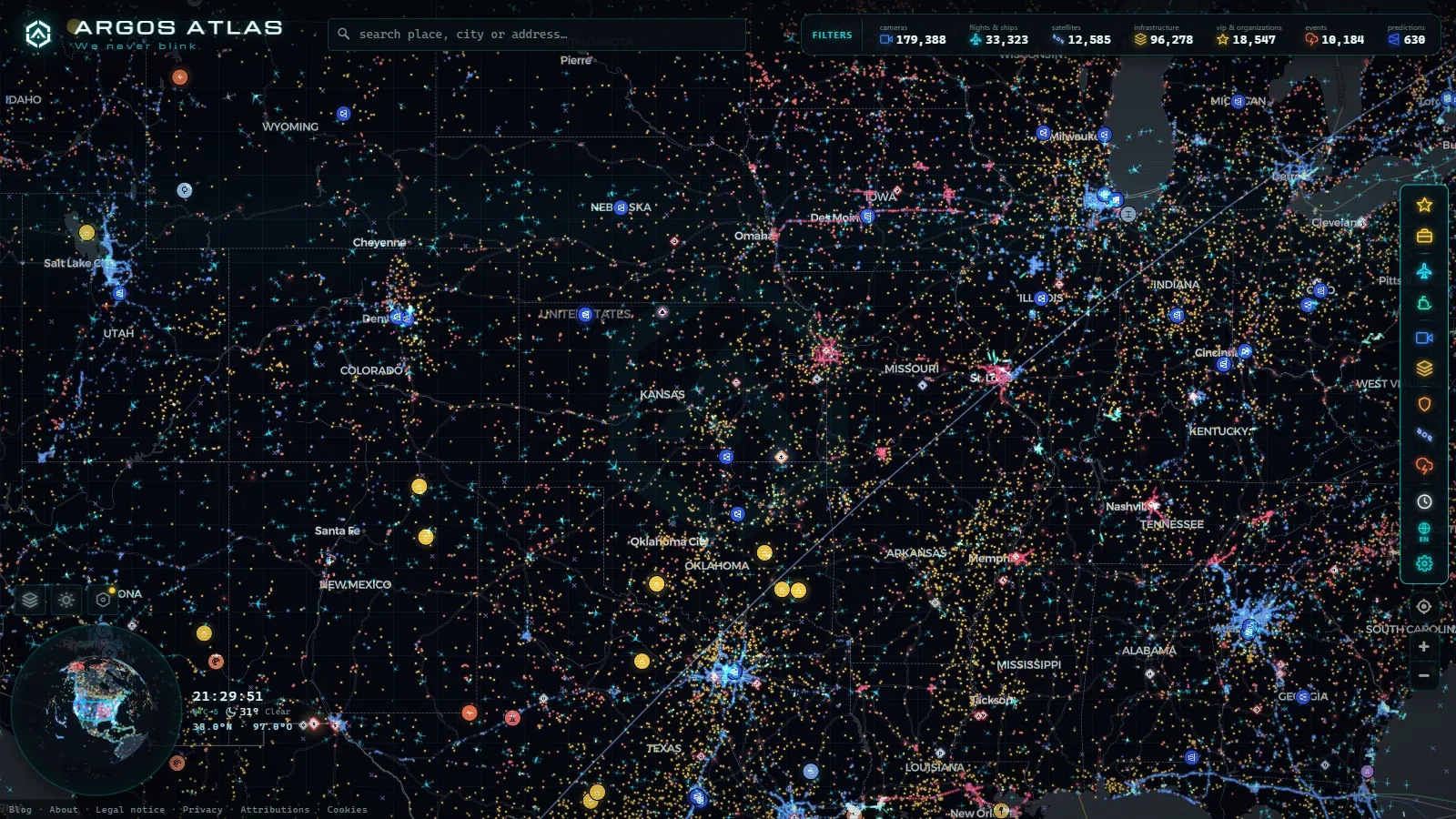
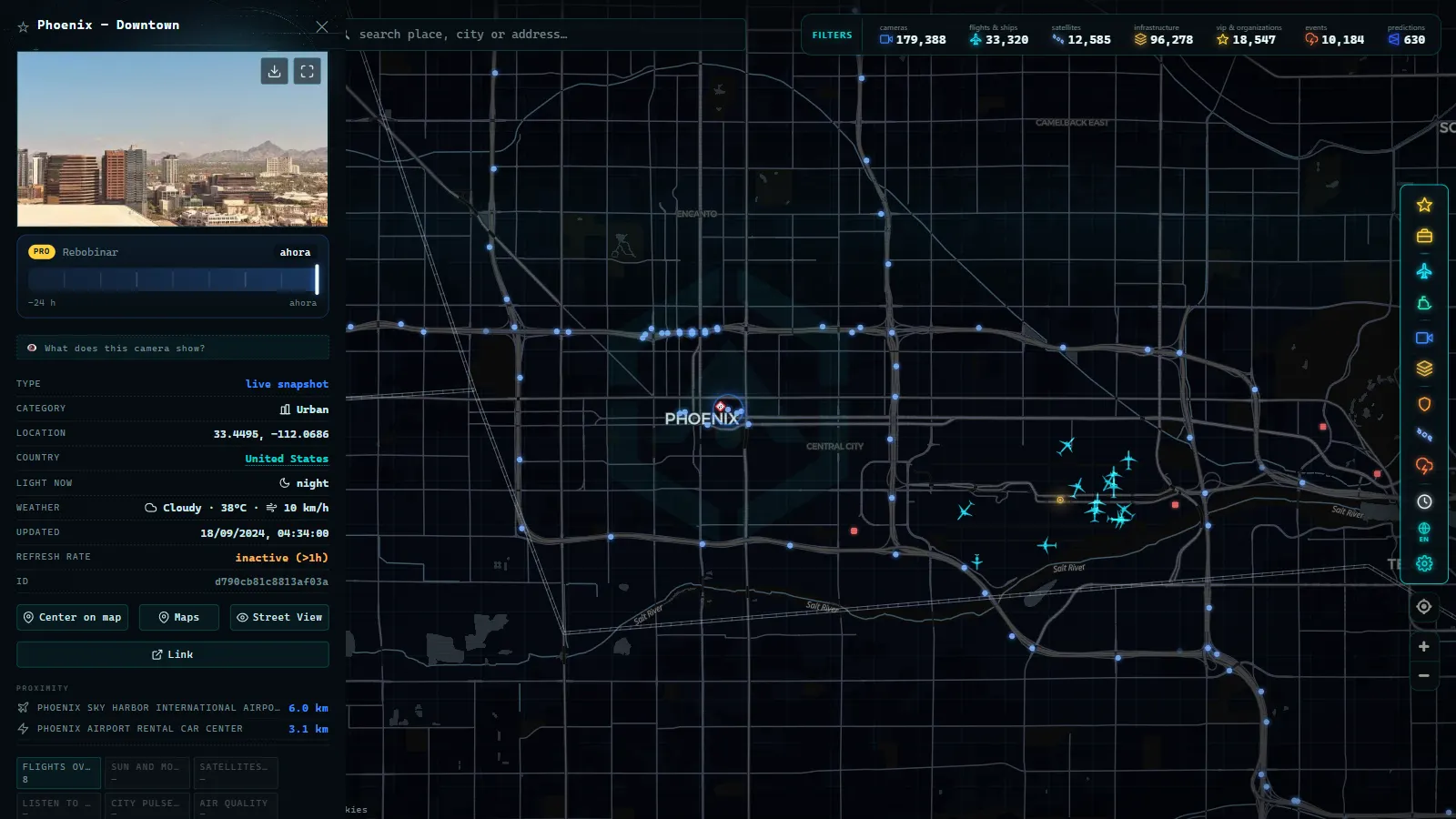
On ARGOS ATLAS the Arizona feeds sit inside a single global camera layer of 200,000+ public cameras (count as of September 2026), so the state is not a separate site you have to go and find. Zoom to Phoenix and the freeway views appear as points; click one and the still opens with its source named. Neighbouring states are in the same layer, which is the part that actually helps, because an I-10 trip does not stop at the state line. You can follow the corridor west into California's traffic cameras without changing tools.
Cameras are one layer of several. Flights, ships, power infrastructure and conflict events share the same canvas, so the approach traffic into Sky Harbor is visible above the freeway you are watching. Open the live map, pan to Arizona, and it is there: free, no account, nothing to install. For how the state agencies differ from each other, the United States traffic camera guide is the wider view.
A five minute routine before driving I-17 in winter
- Start at the Phoenix end and step north camera by camera, in order.
- Note the first frame where the shoulder is white rather than wet. That is your snow line, not the forecast.
- Check each timestamp. Discard anything more than fifteen minutes old on a changing day.
- Cross check I-40 if you are continuing east or west from Flagstaff, since it closes independently of I-17.
- Look at SR 89A only if you actually need Oak Creek Canyon, and assume it is worse than it looks.
- Repeat the first two steps just before leaving. In Arizona the mountain weather moves faster than the page you left open.
Frequently asked questions
Are Arizona traffic cameras free to watch, live and without registration?
Yes. ADOT publishes its freeway camera images as public data, and there is no account, no app and no payment involved. On our map the same feeds sit inside the global camera layer, also free and with nothing to install.
Which Arizona highways have the best camera coverage?
The Phoenix metro freeways (I-10, I-17, the Loop 101, 202 and 303, SR 51 and SR 143) are the densest, followed by I-17 up to Flagstaff and I-40 across the plateau. Rural corridors get cameras at grades, passes and dust zones, with long gaps in between.
Can I see whether it is snowing on I-17 before driving to Flagstaff?
Usually yes, if you step through the cameras in order from Sunset Point to Camp Verde to Munds Park instead of checking only Flagstaff. Look at the shoulder and the median rather than the travel lanes, because traffic keeps the lanes black long after the shoulder has gone white.
Do ADOT traffic cameras record footage or issue tickets?
No. They are traffic management views: low resolution, no audio, not archived for the public and not readable at licence plate level. Photo enforcement in Arizona is a separate municipal matter with separate hardware in separate locations.
Why does an Arizona camera timestamp look an hour off?
Arizona does not observe daylight saving time, with the exception of the Navajo Nation in the northeast corner. For half the year the state shares a clock with California and for the other half with Colorado, so an out of state phone can be an hour ahead of the frame you are reading.
- Czech Republic Traffic Cameras: D1, D5 and D8 Live in Winter
- Ho Chi Minh traffic cameras: reading a city on two wheels
- Idaho Traffic Cameras: I-84, I-90 and US-95 on One Live Map
- Morocco live map: 42 cameras, ships and flights in real time
- Tennessee traffic cameras: I-40, I-24 and I-75 corridors
- Alabama Traffic Cameras: I-65, I-20 and I-10 on One Map