Blog · Traffic cameras
Croatia Traffic Cameras: the A1, Pelješac and the Adriatic
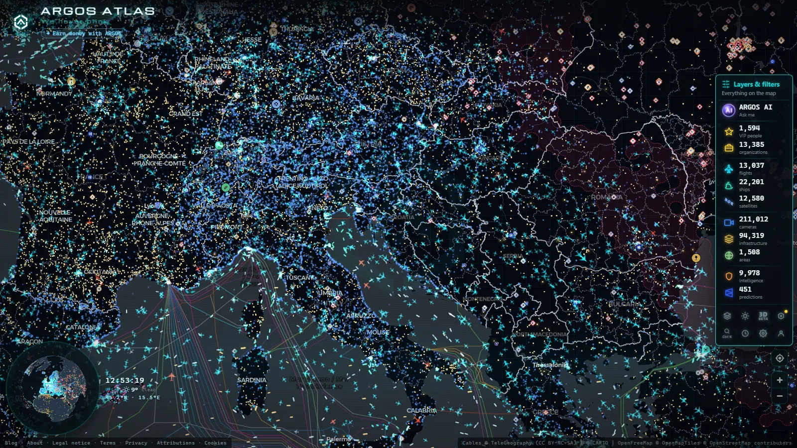
Croatia gets driven twice. Once at motorway speed down the A1, through tunnels bored under two mountain ranges, and once at walking pace on a two lane coast road that ends at a ferry ramp. Both things happen within twenty kilometres of each other, and camera coverage splits the same way: dense and well funded on the tolled motorways, thin exactly where an August Saturday turns into three hours of stationary metal.
What follows is who operates each stretch of road, which cameras sit on it, what the images actually show and where the picture goes dark. If you are arriving from the other shore of the same sea, the companion guide to traffic cameras in Italy covers the Autostrade and ANAS side of the Adriatic.
Who runs Croatia traffic cameras
There is no single national feed. What people call Croatia traffic cameras is a set assembled from a motoring club and four road operators, and knowing which is which explains why one interchange offers three angles and the next offers nothing at all.
HAK, the Croatian Automobile Club, is the front door. It does not own roads: it aggregates road conditions, wind restrictions, border waiting times, ferry timetables and camera images that come from the motorway concessionaires. Behind it sit Hrvatske autoceste (HAC) on most of the network, Autocesta Rijeka-Zagreb (ARZ) on the climb between the capital and the Kvarner, BINA-Istra on the Istrian Y, and Autocesta Zagreb-Macelj on the short run to the Slovenian border. Everything else, including the entire Adriatic Highway, belongs to Hrvatske ceste and the counties, which is precisely why the coverage down there is uneven.
| Road | Route | Operator | What the cameras cover |
|---|---|---|---|
| A1 | Zagreb to Split and on to Ploče | Hrvatske autoceste | tunnel portals, toll plazas, the exposed Velebit section |
| A2 | Zagreb to Macelj (Slovenia) | Autocesta Zagreb-Macelj | the northern exit and the Zagorje hills |
| A3 | Bregana to Bajakovo (Slovenia to Serbia) | Hrvatske autoceste | the Zagreb bypass and the Slavonian plain |
| A6 and A7 | Bosiljevo to Rijeka and the Kvarner | Autocesta Rijeka-Zagreb | the Gorski Kotar climbs and the Rijeka approaches |
| A8 and A9 | Istrian Y: Kanfanar, Pula, Umag | BINA-Istra | the Učka tunnel and the Istrian interior |
| D8 | Adriatic Highway, Rijeka to Dubrovnik | Hrvatske ceste and counties | patchy: a few towns, bridges and headlands |
| Ferry ports | Split, Zadar, Dubrovnik, island ramps | port authorities and ferry operators | the approach road and the marshalling area, when published |
The A1 and the two tunnels that decide your day
The A1 is the spine. It leaves Zagreb, splits at the Bosiljevo interchange (left for Rijeka on the A6, straight on for the coast), climbs into the karst and then does the thing that makes it interesting: it goes under the Kapela range through the Mala Kapela tunnel, and under the Velebit through the Sveti Rok tunnel. Both are long, both are single bore per direction, and both turn a small incident into a closure with no easy detour.
Camera-wise, that means the useful shots are not scenic. They are the portal approaches and the toll plazas at either end of the route, because that is where a Friday afternoon or a Saturday changeover backs up first. If the queue is already visible before a tunnel mouth, the delay is not five minutes.
South of Sveti Rok the road drops toward the Maslenica bridge and the Zadar hinterland, and this is the windiest stretch of motorway in the country. The bura comes off the mountain in gusts strong enough to move a caravan across a lane. Operators respond with restrictions by vehicle group rather than a full closure, so a camera showing a clear, dry, empty carriageway can perfectly well be a road you are not allowed to drive with a trailer. Look at the advisory first and the image second.
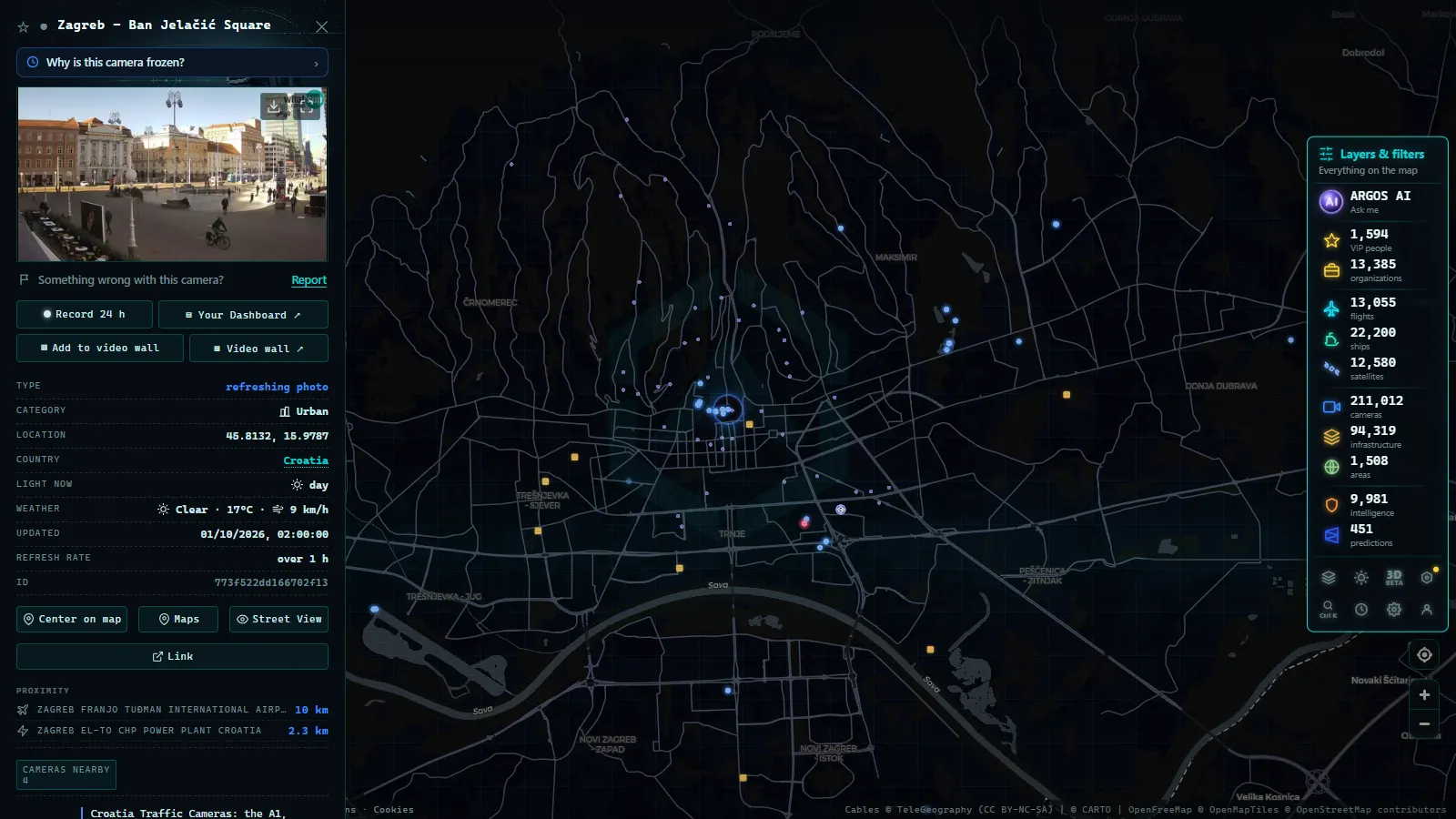
Croatia traffic cameras on the coast: the D8 and the Pelješac bridge
The D8, the old Adriatic Highway, is the road everyone photographs and nobody wants to be stuck on. Two lanes, cliffs, no hard shoulder in long stretches, and a village every few kilometres where the speed limit and the pedestrian crossings do the rest. It carries local traffic, cyclists, campervans and the entire population of the islands moving to and from their ferries.
Coverage here is the honest weak point. Cameras exist at some bridges, some town entrances and a handful of exposed headlands, but there are long sections with nothing at all. If you are planning a coastal drive in July, the motorway image tells you far more about the day than the coast road image does, because the coast road jams for reasons no camera can frame: a reversing truck, a queue for a ferry that has not docked yet.
The far south changed with the Pelješac bridge. Traffic bound for Dubrovnik used to leave Croatia at Neum, cross the short Bosnian corridor and re-enter, which meant two checkpoints and a queue that nobody could see in advance. The bridge and its access road to Ston keep the route inside Croatia end to end. For anyone watching remotely, that is the difference between monitoring a modern road with instrumentation and guessing at a border post.
From the ARGOS ATLAS channel.
Borders, ferries and the summer Saturday
Since Croatia joined the Schengen area, the crossings toward Slovenia and Hungary work as internal borders. The external land crossings still queue, and in August they queue badly: Bajakovo toward Serbia, Nova Sela and Slavonski Brod toward Bosnia and Herzegovina, Karasovići toward Montenegro. HAK publishes waiting times in minutes for these, which is more actionable than any photograph, because a picture of a full lane does not tell you whether it is moving.
The ferry system is the other timetable that governs the roads. Split is the busiest passenger port on the eastern Adriatic in season, with Zadar working out of Gaženica, Rijeka further north and Gruž serving Dubrovnik. Add the short island ramps at Valbiska, Prizna, Stinica and Drvenik, and you have a network where the road delay is downstream of the boat. A camera at the port shows a full marshalling yard; only the sailing schedule tells you if that clears in twenty minutes.
If you want the same road by road treatment for the countries you cross to get here, the country by country guide to European traffic cameras is the index. And if a camera you were relying on has gone black, the piece on why a traffic camera stops working covers the usual causes, most of which are maintenance rather than censorship.
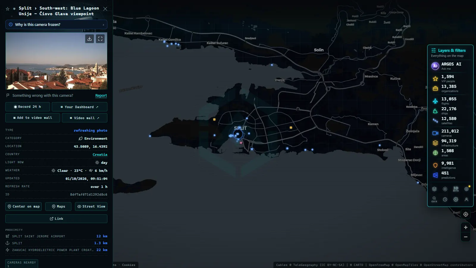
The Adriatic ports, where AIS beats the camera
Croatian ports do something cameras handle poorly: they move things that are big, slow and already broadcasting their position. Rijeka handles containers and is the country's cargo gateway, Ploče serves the Bosnian hinterland, and Split and Dubrovnik take the cruise and passenger traffic that fills the coast road every morning.
For all of that, the transponder beats the lens. Ships broadcast identity, position, speed and heading continuously, so you can watch a ferry cross from Split toward the islands without a single camera being involved. The ARGOS map currently plots 22.025 vessels against 1.081 ports worldwide, and the Adriatic is one of the denser corners of it. How that signal works, and what it deliberately leaves out, is explained in the guide to AIS and tracking ships in real time.
What Croatia traffic cameras will not show you
This is the part most guides skip. Being specific about the gaps is what makes the rest usable.
- They are stills, not video. Nearly all public images refresh on a cycle. The picture you are looking at can be several minutes old, which matters when a queue is forming.
- Tunnel interiors are not public. The A1 tunnels are monitored intensively, but that feed belongs to the control centre.
- The islands are close to invisible. Beyond the ferry ramps, expect almost nothing.
- Winter thins the network. Cameras on high or exposed sites drop out, sometimes for weeks, and the mountain passes toward the coast are covered in the guide to mountain pass cameras and snow.
- No plates, no faces, no counting. Public traffic cameras are framed and compressed so that vehicles are shapes. Nothing in this network identifies anyone.
Watching the Croatian network on the ARGOS map
Open the live map of public cameras, pan to the Adriatic and zoom into the corridor between Zagreb and Split. Cameras appear as their own layer, and clicking a marker gives you the source and the last refresh, which is the field that actually matters: an image without a timestamp is decoration.
One honest caveat about scale. The map holds +200.000 public cameras worldwide (count as of September 2026), but the database stores the operator, not the country, so we cannot hand you a verified Croatian total, and we will not invent one. What we can say is that the Croatian motorway network is well represented and the coast road is not, which mirrors reality rather than hiding it.
The practical routine, if you are driving here in August: check the advisory for wind restrictions on the Velebit stretch, check border waits if you are heading east or south beyond Croatia, look at the toll plaza and tunnel portal images on the A1 before committing, and treat the ferry timetable as the real constraint on any coastal plan. The cameras confirm the picture. They rarely predict it.
Frequently asked questions
Is the Croatia traffic camera map free, live and without registration?
Yes. The ARGOS map is free, needs no account and no app. The camera images come from the public feeds of each operator and refresh at whatever interval that operator publishes, so a picture is live in the sense that it is the latest one available, not in the sense of continuous video.
Can I see inside the Mala Kapela and Sveti Rok tunnels on the A1?
Almost never. Both tunnels are covered by dense internal CCTV, but those images go to the operator's control centre, not to the public. What you get publicly is the approach and the portal area, which is enough to tell you whether the queue starts before the tunnel mouth.
How do I know if the bura wind has closed the A1 or the Maslenica bridge?
Not from the camera. A still image of a dry, empty carriageway looks identical with wind and without it. Croatian operators announce restrictions by vehicle group, with motorcycles, caravans and vehicles towing trailers banned first, and HAK publishes that as a text advisory. Read the advisory, then use the camera to confirm the barrier.
Can I check the ferry queue in Split before I drive down?
Partially. Split, Zadar and some island ramps have cameras pointed at the approach or the marshalling area, so you can see whether vehicles are stacked. What no public feed gives you is the sailing that queue is waiting for, so a full lot may clear in twenty minutes or in three hours.
Do Croatian traffic cameras read number plates?
The public traffic cameras do not. Their resolution and framing are chosen so that vehicles are shapes, not identities. Croatia does operate enforcement and tolling systems that read plates, but those are separate installations and their output is never published as an image feed.
- Arizona Traffic Cameras: ADOT Live Views on I-10, I-17, I-40
- Czech Republic Traffic Cameras: D1, D5 and D8 Live in Winter
- Ho Chi Minh traffic cameras: reading a city on two wheels
- Idaho Traffic Cameras: I-84, I-90 and US-95 on One Live Map
- Morocco live map: 42 cameras, ships and flights in real time
- Tennessee traffic cameras: I-40, I-24 and I-75 corridors