Blog · Traffic cameras
Ontario 511 Cameras: Live Map of All 1,670 Highway Feeds
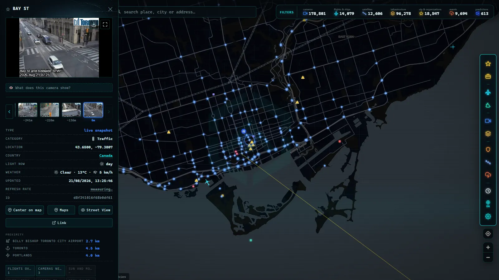
Ontario runs one of the most watchable highway networks in North America, and nearly all of it is open to the public. The province's Ministry of Transportation owns the hardware; Ontario 511 is the service that publishes it, a traveller information system that puts a roadside view on most stretches of the 400-series highways, the QEW and the corridors that hold the province together. On the ARGOS ATLAS map there are 1,670 Ontario 511 cameras plotted and geolocated (count on the map as of August 2026), every one of them free to open and none behind a login.
That number is the reason this guide exists. Ontario 511's own tools are fine when you already know which highway you want. What they don't do is the thing most drivers actually need: see the whole province at once, compare a Toronto corridor with an Ottawa one, or check both sides of a border crossing in the same view. Here's what the network shows, how to read it corridor by corridor, and why Canadian winter turns it from a convenience into something closer to a safety tool.
The essentials, in 20 seconds
- 1,670 Ontario 511 cameras are plotted and geolocated on the ARGOS ATLAS map (count as of August 2026).
- Highway 401 is the province-long spine, from Windsor through Toronto to the Quebec border.
- The Gardiner Expressway and the Don Valley Parkway fail as a pair: a stall on one shows up on the other within minutes.
- Highway 417 carries Ottawa's east-west traffic through the capital, with congestion concentrated at a few pinch points.
- All feeds are free and public: wide traffic-management shots, no login, no plate or driver detail.
What Ontario 511 cameras actually show
These are traffic-management cameras, not surveillance. They sit high on a pole or gantry, they frame a wide shot of a kilometre or two of pavement, and they exist to answer one question in a control room: is this road working right now?
That purpose explains everything about the image you get. It's deliberately wide and modest in resolution, you can count lanes, judge queue length and see whether the asphalt is bare, wet or covered, but you cannot read a plate or identify a driver. There's no audio. You can't pan or zoom; you see whatever the operator has the lens pointed at. The feeds are public precisely because they're uninteresting to anyone except someone deciding which route to take.
Alongside the provincial highways, the map also carries the two Toronto expressways that aren't 400-series roads but behave exactly like them: the Gardiner and the Don Valley Parkway. If you want the mechanics of how any of this reaches your screen, how traffic cameras work covers the full chain from pole to browser.
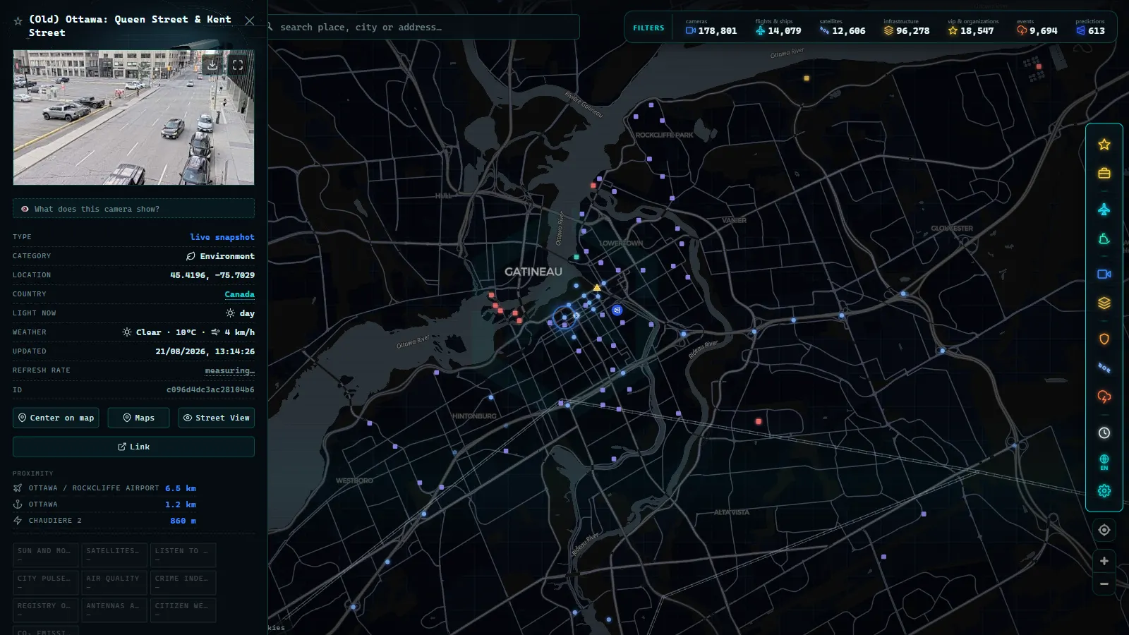
The 1,670 Ontario 511 cameras, corridor by corridor
The network makes sense the moment you stop thinking of it as a list of cameras and start thinking of it as six or seven corridors, each with its own personality.
| Corridor | What it covers | What to watch for |
|---|---|---|
| Highway 401 | The province-long spine: Windsor to Toronto to the Quebec border | Collector–express splits in the GTA, snow and squall conditions west of London |
| QEW | Toronto around the lake to Niagara and the US border | Weekend and holiday border queues, bridge approaches |
| Highway 400 | Toronto north toward Barrie and cottage country | Friday-out, Sunday-back seasonal surges |
| Gardiner Expressway | Toronto's waterfront route into downtown | Ramp backups, closures for events and maintenance |
| Don Valley Parkway (DVP) | North–south into downtown Toronto through the ravine | The classic pairing: if the DVP stalls, the Gardiner feels it |
| Highway 417 | Ottawa's main east–west artery through the capital | Downtown-adjacent congestion, ice and freezing rain |
| Northern and rural routes | The long links between towns across the north | Sparse spacing, each camera covers far more road |
The density map is essentially a population map. Camera spacing in the Greater Toronto Area is tight enough that you can follow a queue from one view to the next; through eastern and southwestern Ontario it opens up; in the north a single camera can be the only public image of a hundred kilometres of highway. That isn't a flaw in the network, it's the geography of Ontario drawn in hardware.
From the ARGOS ATLAS channel.
Highway 401 cameras: reading North America's busiest spine
The 401 is the one everyone means. It's one of the busiest highways in North America, and it does about five different jobs along its length, which is why reading its cameras well takes a bit of local knowledge.
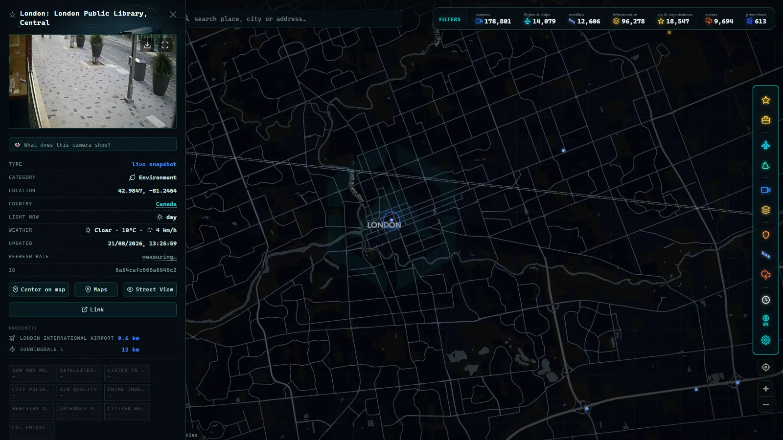
Windsor to London. This is the international freight corridor and the stretch most exposed to weather coming off the lakes. When you see a camera here showing snow-covered pavement or a wall of white, that's not a local nuisance, it's the leading edge of something that will reach Toronto in a few hours.
Through the Greater Toronto Area. Here the 401 splits into collector and express lanes, and the cameras are dense enough to tell you which side is broken. That distinction is the single most useful thing a camera gives you in Toronto: apps often colour the whole roadway red, while the image shows the express lanes crawling and the collectors moving, or vice versa.
East to Kingston and the Quebec border. Long, fast, and thinly served by comparison. A closure out here matters more precisely because detours are long and infrequent, so the cameras that do exist are worth checking before you commit to the drive.
The honest limitation: on the 401, cameras tell you the state of the road at specific points, not the length of a queue between them. Two views three kilometres apart both showing stopped traffic is strong evidence; one view showing stopped traffic is a moment, not a trend.
Toronto traffic cameras: three systems on one screen
Toronto is where the network gets genuinely dense, and where an aggregator earns its keep. On a bad afternoon the city is a system of communicating vessels: the 401 across the top, the 400 and the DVP coming down, the Gardiner along the water, the QEW heading around the lake. A problem in one shows up in the others within minutes.
Practical way to use it:
- Check the Gardiner and the DVP together, always. They're the two ways into downtown from the east and the west, and they fail as a pair.
- Use the 401 collectors as your escape valve. If the express lanes are locked, the cameras will show you whether the collectors are actually a better bet or the same jam with more entrances.
- Watch the 400 by day of week, not by hour. Cottage-country traffic doesn't obey normal rush-hour logic; Friday afternoons northbound and Sunday evenings southbound have their own rhythm.
- Cross-check before the border. For the QEW toward Niagara, the useful sequence is Ontario's cameras first and then the American side, our guide to US traffic cameras covers the state networks on the other side of the line.
Ottawa, cottage country and the sparse north
Ottawa's traffic is a different animal. Highway 417 runs east–west straight through the capital, and its congestion is concentrated and predictable in a way Toronto's isn't, a smaller number of pinch points, but ones that seize hard when there's freezing rain. The camera coverage reflects that: focused on the corridor through the city and its main approaches.
North of the cottage-country belt, the network changes character completely. Fewer cameras, spaced far apart, each one doing an enormous amount of work. Their value flips: in Toronto a camera helps you shave ten minutes off a commute, while in the north a single camera can tell you whether a route is passable at all. If your drive crosses one of these gaps, check the view before you leave, because it may well be the last real image you get for a long time.
For the wider picture across provinces (how Ontario compares with Quebec, British Columbia and the Prairies) see our overview of traffic cameras in Canada.
Winter is the use case that makes this network essential
Every traffic camera network is useful. Ontario's becomes something else entirely between November and April.
The reason is simple: no traffic app can tell you what the road surface looks like. A navigation app that says the 401 is moving at speed says nothing about whether that speed is safe on packed snow. A camera does. In one glance you can see bare and dry, wet, slushy, snow-covered or the flat grey-white nothing of a whiteout, and each of those is a different decision.
Ontario's specific hazards make the cameras sharper still. Lake-effect snow can dump heavily on a narrow band of highway while the road twenty kilometres away stays clear, which is exactly the kind of thing a regional forecast smooths over and a camera makes obvious. Squalls arrive fast and close highways with little warning. Freezing rain turns a normal commute into something you should not attempt.
Two honest caveats. First, in genuinely bad conditions the cameras suffer too: lenses ice over, snow sticks to housings, and the image you get may be a white blur that tells you plenty about the weather and nothing about the road. Second, at night the low-light images are much less informative than daytime ones, you'll see headlights and general flow, not surface condition.
What Ontario 511 cameras can't do
The house rule here is to say what doesn't work, because that's what makes the rest trustworthy:
- They're not video. Stills with a frequent refresh. Fine for route decisions, useless for watching an incident unfold.
- They're not controllable. No public pan, tilt or zoom. Operators move some cameras; you can't.
- They're not evenly distributed. Dense where people are, sparse where they aren't.
- They go down. Frozen images, offline feeds, cameras stuck facing a barrier after maintenance. If one behaves oddly, why a traffic camera isn't working walks through the usual causes.
- They're not enforcement. Different systems, different rules, different resolution entirely.
Watching all of Ontario on one map
Open the ARGOS ATLAS map, centre it on southern Ontario and zoom out: the whole 1,670-camera network appears as one shape, with the 401 drawn across it like a backbone. Click any marker and you get the latest frame plus its timestamp, and the timestamp is the first thing to check, always. A stale image is worse than no image because it looks like information.
A few habits that pay off:
- Read two cameras, not one. Direction of a problem is a comparison, never a single frame.
- Zoom out before you zoom in. The distribution itself tells you where the province expects trouble.
- Use the other layers on a bad weather day. The same map carries live flights and airports, which on a Toronto snow day is genuinely relevant context.
- Bookmark your corridor. Most people check the same three or four cameras forever; find them once.
Ontario 511 is one of those public services that quietly does its job and never gets credit for it. Open the map, find the stretch of the 401 or the QEW you actually drive, and check it before you leave, two minutes of looking beats an hour of sitting still.
Frequently asked questions
What is Ontario 511?
Ontario 511 is the province's traveller information service, run by the Ministry of Transportation. It publishes road conditions, closures, construction and winter reports for the provincial highway network, along with a large public camera network that shows the road surface in near real time.
How many Ontario 511 cameras are there?
The ARGOS ATLAS map plots 1,670 Ontario 511 cameras across the province (count on the map as of August 2026). They cluster heavily in the Greater Toronto Area and along the 401 corridor, thin out through eastern and southwestern Ontario, and become genuinely sparse in the north.
Are Ontario 511 cameras live video?
Mostly no. The network works with still images that refresh frequently rather than continuous video streams. For deciding whether to take the 401 or the 407, a picture taken a minute ago tells you exactly what a video would.
Is it free to watch Ontario traffic cameras, and do I need an account?
Yes, it's free, and no account is needed. These are public information feeds funded by the province, and aggregator maps let you open them alongside cameras from the rest of Canada and the world without registering.
Can Ontario 511 cameras be used to issue tickets?
No. They are traffic-management cameras with wide, low-resolution views of the pavement, designed to show flow and conditions rather than identify vehicles. Speed and red-light enforcement in Ontario runs on entirely separate systems with their own legal framework.
- 511NY Cameras Live: 1,770 NY Traffic Views on One Map
- London Traffic Cameras: 776 TfL JamCams on a Live Map
- Barcelona traffic cameras: the ring roads and AP-7 live
- Chicago Traffic Cameras: 1,114 Live Views on One Map
- Miami Traffic Cameras: 928 Live Views of I-95 and Beyond
- Andalusia Traffic Cameras: 1,246 Live Cameras on One Map