Blog · Traffic cameras
Naples Traffic Cameras Live: What You Can Really Watch
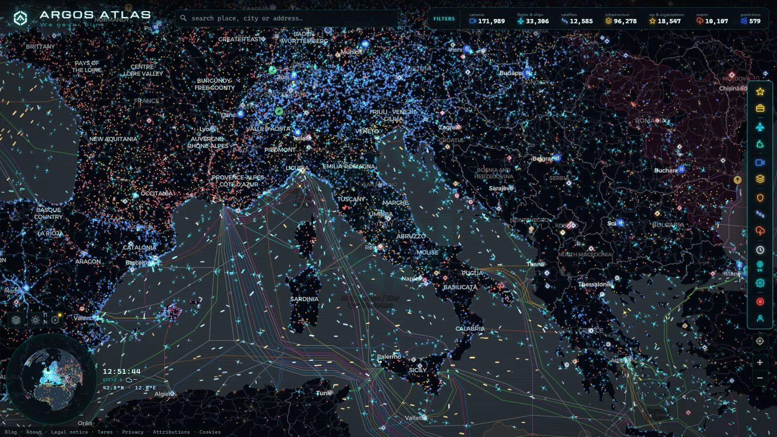
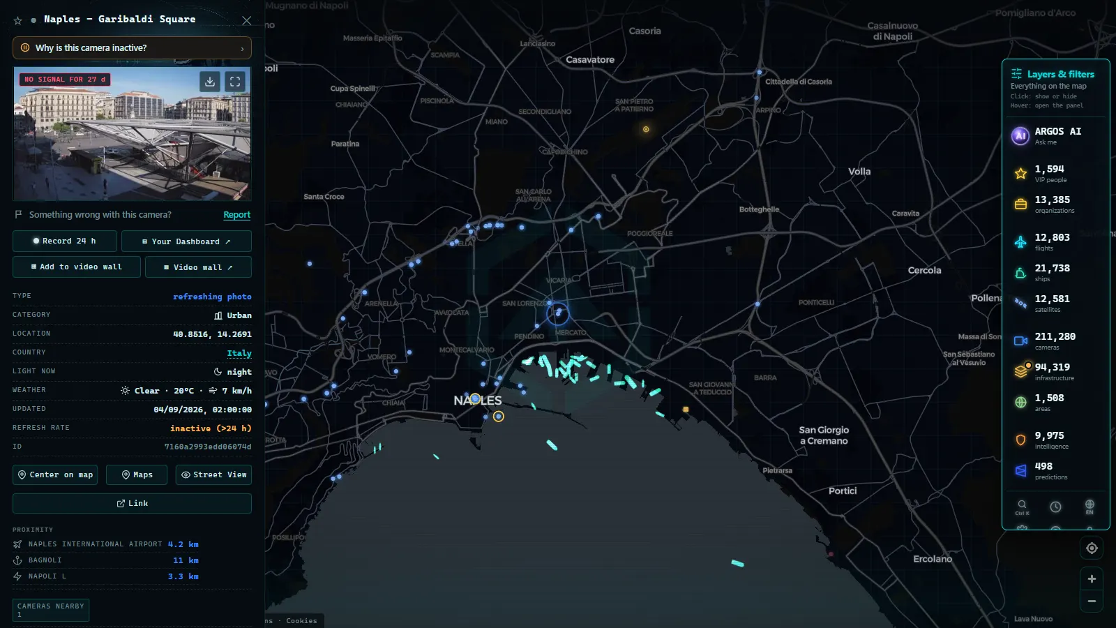
If you came here to watch the Tangenziale from your screen right now, the useful part goes first: there is no public traffic camera feed for the city of Naples on the map. Not on the Tangenziale, not on the A1 approach from Caserta, not on Via Marina. Italy does not publish its urban camera streams the way the DGT does in Spain or Transport for London does in the UK, and this map only carries what an operator publishes openly.
That is the whole of the bad news and it costs you ten seconds. The rest is better than you would expect. Naples is well covered for everything that is not a road camera: aircraft on approach to Capodichino, the ferries and hydrofoils crossing the gulf, the commercial port, the power infrastructure in the eastern industrial belt. This page goes layer by layer, says where each one gets its data, and shows how to get the map framed on Naples in about a minute.
Naples traffic cameras live: the honest answer first
The global catalogue holds 200,000+ public cameras (count as of September 2026), and the density is wildly uneven by country. Spain contributes 10,872. Greater London contributes 1,412, greater New York around 1,000, greater Chicago 1,118. Italy contributes nothing on that scale, because there is no national open feed of municipal or motorway camera images.
The Italian concessions do run camera networks. Autostrade per l'Italia, ANAS and the operator of the A56 Tangenziale all have control rooms full of them. What they publish outward is traffic status and incident notices, not image endpoints meant to be refreshed by a third party every few minutes. That distinction is the whole game: an open feed is a URL the operator intends the public to read. Anything else is somebody's internal system, and pulling from it means both a legal problem and a server that was never sized for the traffic.
So when a page offers you a grid of "live Naples traffic cameras", check what you are actually looking at. A good share of those grids recycle old stills, or point at a panoramic webcam aimed at the bay from a hotel roof, which tells you about the weather over Vesuvius and nothing about whether the ring road is moving. For the concession-by-concession picture of what Italy does and does not publish, the guide to traffic cameras in Italy breaks it down.
Live traffic in Naples without cameras: what actually works
No camera does not mean no information. For the Tangenziale, the A1 and the A3 corridor toward Salerno, the practical stack in order of usefulness:
- Concession traffic status. The motorway operators publish incident and congestion state for their own roads. It is text and colour, not pictures, and it is authoritative because it comes from the people managing the lanes.
- Consumer navigation traffic. Crowd-sourced speed data covers the urban grid far better than any camera network would, including streets no operator has ever pointed a lens at.
- The map, for context around the road. Whether the airport is busy, whether ferries are running, whether something is happening in the port. Often that is the actual question behind "how is traffic in Naples".
The general version of that stack, and when each source is worth trusting, is in the guide on how to check live traffic in real time.
Capodichino live: flights over Naples in real time
This is where the map earns its place for Naples. The aviation layer tracks 16,377 aircraft in the air at a typical moment worldwide, and southern Italy has dense ground receiver coverage, so the picture over the gulf is solid.
Naples airport (NAP, ICAO LIRN) sits inside the built-up area, a single runway with the city wrapped around it. That geometry is why watching it is interesting: approaches come in low over the northern districts, and on the reciprocal runway direction departures turn out over the bay. Click any aircraft and you get altitude, ground speed, heading and the track it has flown. Zoom out slightly and you see the holding and sequencing pattern that the airport's terrain and single runway impose.
The airport itself is one point among the 47,927 in the airports layer, which includes everything from international hubs down to grass strips. Capodichino also shares its field with military aviation activity, so transports occasionally appear in the layer when they are broadcasting; military aircraft frequently do not broadcast at all, and the map shows what is transmitted rather than what is flying. If you want the mechanics of how any of this reaches your screen, how to see planes in real time explains the ADS-B chain and its blind spots.
From the ARGOS ATLAS channel.
The Gulf of Naples on AIS: ferries, hydrofoils and cargo
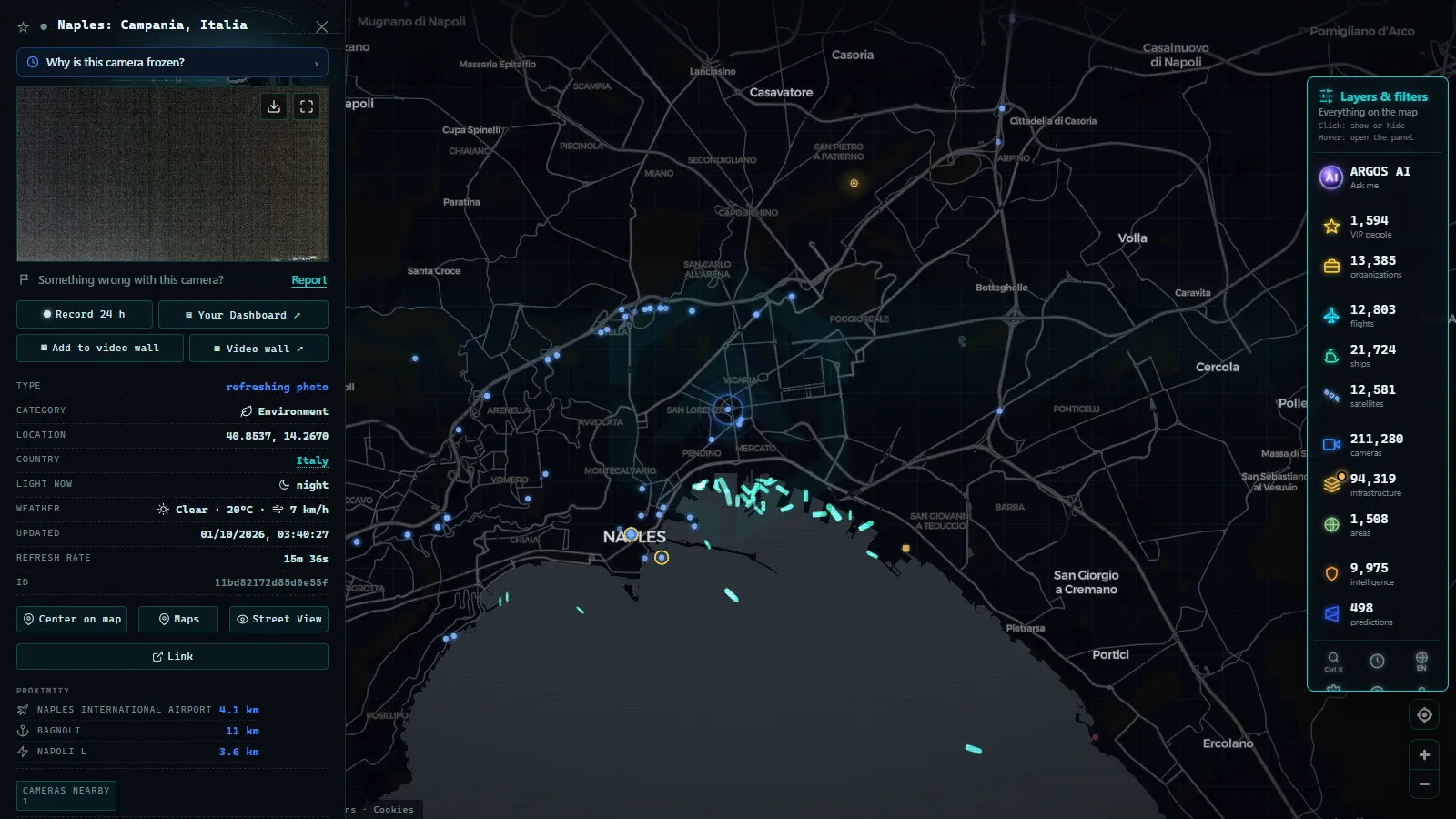
The maritime layer carries 22,959 vessels showing position at a given moment, out of 35,600 tracked across the rolling window. The Gulf of Naples is one of the busiest short-sea passenger corridors in the Mediterranean, and it looks like it on the map.
What you will pick out, once you know the shapes:
- The Beverello shuttle. Fast hydrofoils running Naples to Capri, Ischia and Procida, in tight repeated legs across the gulf. In summer the pattern is almost metronomic through the day.
- Car ferries from Calata Porta di Massa. Slower, heavier, wider turns, same island destinations.
- Cruise calls at the Stazione Marittima, which show as a large vessel that arrives early, sits for hours and leaves in the evening.
- Commercial traffic to and from the eastern container and bulk terminals, plus vessels transiting the gulf without calling.
The honest caveat: AIS is radio, not telemetry you are owed. Large ferries carry Class A transponders and report every few seconds. Smaller craft carry Class B and report far less often, so they blink. A vessel that goes quiet for two minutes is nearly always a reporting gap. What AIS is and how ships are located covers why the gaps happen and when they mean something.
Power, port and the infrastructure layer around Naples
The infrastructure layers put fixed assets on the same canvas. Globally that is 34,936 power assets and 1,081 commercial ports, and Naples appears in both.
The thermal power station sits on the eastern edge of the city, in the industrial strip beyond the container terminals, and it is a point in the power layer with its attributes attached. The port of Naples is in the ports layer as a commercial facility. Both are useful as anchors: once you know where the plant and the terminals are, the ship movements in the eastern part of the gulf stop looking random.
One thing to be clear about, because it is the sort of thing pages quietly imply: these are locations and attributes, not live readings. There is no live megawatt output, no live berth occupancy, no live throughput. The plant is where the plant is. What moves on this map is aircraft and ships.
What is live in Naples, layer by layer
| Layer | Coverage in Naples | Live? | Where the data comes from |
|---|---|---|---|
| Traffic cameras | None in the city | No | No open Italian municipal or motorway feed |
| Flights | Aircraft over the gulf and on approach to Capodichino | Yes, continuous | ADS-B broadcast, ground receiver network |
| Airports | Capodichino (NAP / LIRN) as a point | Fixed | Global airports dataset, 47,927 entries |
| Ships | Ferries, hydrofoils, cruise and cargo in the gulf | Yes, continuous | AIS transponders, shore and satellite receivers |
| Ports | Port of Naples | Fixed | Commercial ports dataset, 1,081 entries |
| Power | Thermal plant in the eastern industrial belt | Fixed | Power infrastructure dataset, 34,936 assets |
| Conflict and OSINT | Nothing relevant here | Not applicable | Event feeds, no activity in this area |
Framing the map on Naples in under a minute
Open the live map and do this in order:
- Search for Naples and let it centre on the gulf rather than the city block. You want the water in frame; that is where the movement is.
- Turn off the camera layer. It has nothing to give you here and it clutters the view with markers from other countries as you pan.
- Leave flights and ships on. These are the two layers doing the work in this city.
- Zoom to fit Capodichino and Capri in the same frame. That is roughly the right scale: close enough to identify individual movements, wide enough that the ferry pattern is visible.
- Wait two minutes. A single frame of Naples looks static. Two minutes of watching and the rhythm appears, aircraft sequencing in from the north, hydrofoils crossing to the islands.
If you want the same treatment for the rest of the continent, the roundup of live webcams of European cities covers where camera coverage does exist and where it does not.
The limits worth knowing before you look
Three things will look like bugs and are not.
Aircraft disappear at low altitude. ADS-B is line of sight. On the ground and in the first hundreds of feet, a receiver may lose the signal behind terrain or buildings. Naples has hills right next to the airport, so this happens more than at a flat coastal field.
Small boats blink. Class B AIS reports on a slow cycle. Pleasure craft and small hydrofoils will appear to jump across the water rather than glide.
Nothing here confirms a road. This is the one to keep in mind if you arrived on a traffic query. Without a camera on the Tangenziale, the map cannot tell you whether the ring road is jammed at this moment. It can tell you what is flying, what is sailing, and where the fixed infrastructure sits. Anyone promising you a live picture of Neapolitan asphalt should be asked where they got it.
Everything described here is public data, open in a browser, no account and no payment.
Frequently asked questions
Are there live traffic cameras in Naples on the map?
No. There is no public traffic camera feed for Naples on the map, not on the Tangenziale, not on the A1 approach and not in the historic centre. Italy has no national open camera endpoint comparable to Spain's DGT or Transport for London, so the camera layer is empty over the city. What is live over Naples is aircraft, ships in the gulf, and the fixed infrastructure points.
Is the map free, live and usable without registration?
Yes to all three. No account, no email, no trial. Flight and ship positions are live, refreshed continuously from ADS-B and AIS. The infrastructure points (airport, port, power plant) are fixed locations with attributes, not live sensors, and the page says so where it matters.
Can I watch planes landing at Capodichino in real time?
Yes, as long as the aircraft is broadcasting ADS-B and a receiver hears it. Naples airport (NAP / LIRN) sits inside the built-up area with a single runway, so approaches pass low over the northern districts and are easy to follow. Click any aircraft for altitude, speed and heading. Low ground traffic on the apron often drops out, which is normal.
Why do ferries in the Gulf of Naples sometimes disappear from the map?
AIS is a radio signal picked up by shore receivers and satellites, not a guaranteed feed. Large ferries carry Class A transponders that report every few seconds; smaller hydrofoils and pleasure craft often carry Class B, which reports far less often. A vessel that goes quiet for a few minutes is usually a coverage or reporting gap, not a vanished ship.
How often does the data over Naples update?
Aircraft positions and ship positions update continuously while you keep the map open. Infrastructure points do not change between refreshes because they are locations, not readings. If you want to see movement rather than a snapshot, leave the map on the Gulf of Naples for two or three minutes and the ferry pattern between Beverello, Capri and Ischia becomes obvious.
- Palermo live cameras and port: ferries, cruises and flights
- Turin Traffic Cameras: the 3 Roads That Decide Your Trip
- Bologna traffic cameras: A1, A14 and Marconi airport
- Bari traffic cameras: the 3 ways into the city, live
- Genoa Traffic Cameras: A10, A7, A12 and the Port Live
- Catania Traffic Cameras: Live Views of the Ring Road and Etna