Blog · Traffic cameras
Georgia 511 Traffic Cameras: Watch I-285 and I-16 Live
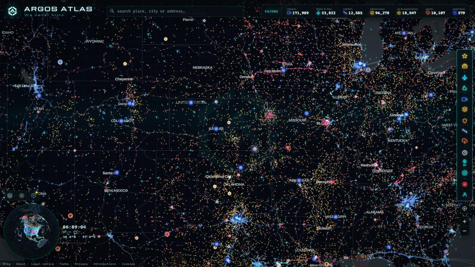
If you searched for Georgia 511 traffic cameras and you meant the American state, this is the right page: I-285, the Downtown Connector and the run down to Savannah, not the Caucasus. The feeds belong to the Georgia Department of Transportation, they reach the public through the 511 Georgia service and the NaviGAtor traffic management system behind it, and they are open to anyone with a browser: no account, no app, no fee.
What each camera gives you is a frame of asphalt. Most Georgia units pan, tilt and zoom, bolted to a sign gantry or a pole and aimed at the lanes by an operator sitting in the Atlanta traffic management centre. Some publish something close to a live stream, others a still frame that refreshes on a timer. None carry audio, none are pointed at plates for the public feed, and any of them can be swung away mid incident, blacked out on purpose, or simply dark for a week while a roadside cabinet gets replaced.
The essentials, in 20 seconds
- 511 Georgia: the public service that carries the state's traffic camera feeds, no account, no app, no fee.
- NaviGAtor: the Atlanta traffic management system behind the feeds, operators pan, tilt and zoom the cameras from there.
- Downtown Connector: where I-75 and I-85 merge through Atlanta, the densest camera coverage in the state.
- I-285, the Perimeter: fully instrumented, with the northwest and northeast arcs (Cumberland and Doraville) carrying the heaviest load and most cameras.
- Spaghetti Junction: the Tom Moreland Interchange, stacked flyovers mean checking two or three cameras before calling it clear.
Georgia 511 traffic cameras: where the coverage really is
The network is not spread evenly across the state, and expecting otherwise is the fastest way to be disappointed. Density follows congestion money: metro Atlanta first, then the interstate corridors that carry freight and beach traffic, then very little. Inside the Perimeter you can follow a jam mentally from one camera to the next without a gap. On a US route through the middle of the state you cannot.
The working rule is simple. On an interstate inside or on I-285, point anywhere and there is usually a camera within a ramp or two. Outside the metro areas, expect one only at a major interchange, a long bridge, or a spot with a crash history that earned it the hardware. Rural north Georgia, the southwest corner and most two lane state routes are effectively blind, and the honest answer there is that a camera map is the wrong tool.
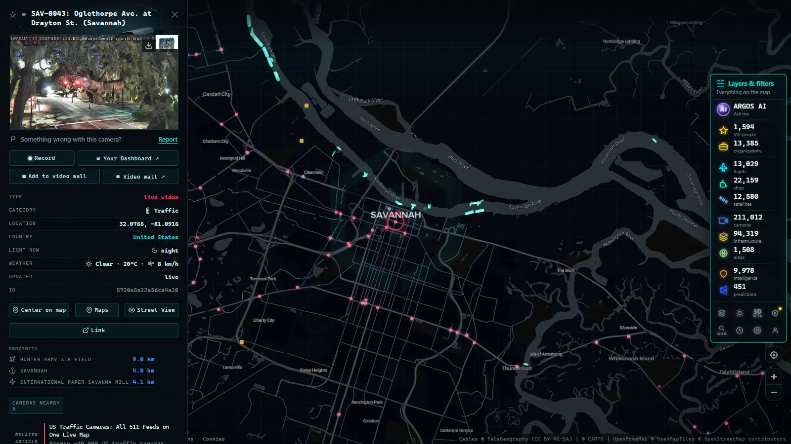
The Atlanta knot: Downtown Connector, I-285 and Spaghetti Junction
Almost everything people want from Georgia cameras is inside one metro area, and inside that metro area it concentrates in a handful of places.
The Downtown Connector is the one to open first. I-75 and I-85 merge and share lanes straight through downtown Atlanta, which means a single stalled truck there degrades two interstates at the same time. Cameras are dense along it, and the useful trick is to check the north end, where the two roads split again above Midtown, and the curve past the hospital district, before you commit to crossing the city rather than going around.
I-285, the Perimeter, is the ring. It is fully instrumented, but the segments behave like different roads. The northwest arc near Cumberland and the northeast arc towards Doraville carry the heaviest commuter load and the most cameras. The south side, past the airport, is quieter for cars and busier for freight. If your route is a through trip rather than a city visit, the Perimeter cameras tell you which half of the ring is currently the cheap one.
Spaghetti Junction, the Tom Moreland Interchange where I-285 meets I-85 on the northeast side, deserves its own look. Stacked flyovers mean a camera shows you one deck and not the others, so read two or three of them before deciding the interchange is clear. The same caution applies to the I-75 and I-285 cloverleaf on the northwest side.
The metro also runs express lanes, reversible in the northwest corridor and barrier separated on the northeast side and to the south. Cameras cover them, but the picture will not tell you the current direction or price. That comes from the overhead signs, and the sign is what governs.
From the ARGOS ATLAS channel.
Corridor by corridor: what the Georgia cameras cover
| Corridor | What the cameras watch | Density | What to expect |
|---|---|---|---|
| Downtown Connector (I-75 and I-85, Atlanta) | Shared lanes through downtown, both splits | Highest in the state | Continuous coverage, several angles per mile |
| I-285, the Perimeter | The full ring, ramps and major interchanges | Very high | Any incident visible within a ramp or two |
| GA 400 and the express lane corridors | Commuter approaches from the north and south | High | Lane status needs the overhead signs, not the image |
| I-20 (Alabama line to Augusta) | Metro crossing, then interchanges only | High in metro, thin east | Long gaps between Atlanta and Augusta |
| I-75 south (Macon to Valdosta) | Interchanges, the Macon split, Florida approach | Medium | Freight and holiday traffic, few urban angles |
| I-16 (Macon to Savannah) | Interchanges and evacuation critical points | Thin | Miles of pine forest with no camera at all |
| I-95 (Savannah, Brunswick, Florida line) | Coastal corridor, bridges, port approaches | Medium | Storm season is when it matters most |
| Rural routes and north Georgia mountains | Occasional bridge or high crash location | Very thin | Assume no coverage unless proven otherwise |
That pattern is normal for a large US state and it matches what we see elsewhere. Illinois traffic cameras run 2,141 feeds in our catalogue (count as of September 2026) and almost all of them are Chicagoland, while Florida's FL511 network is thicker on the coasts than in the interior. The wider picture for the country sits in our guide to United States traffic cameras.
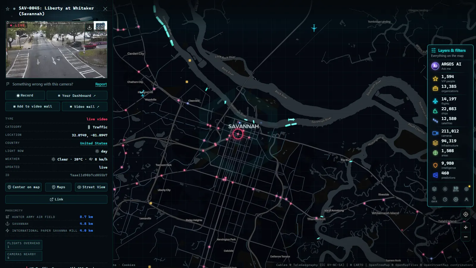
I-16, I-95 and the road to Savannah
The drive from Macon to Savannah on I-16 is the emptiest stretch of instrumented interstate in Georgia. Cameras cluster at the ends and at the few significant interchanges, and in between there are long runs of pine with nothing to look at. For a normal trip that is fine, because there is rarely anything to see. It stops being fine during a hurricane evacuation, when the state can reverse the westbound lanes to move the coast inland. At that point every camera on the corridor becomes worth checking, and the gaps between them become obvious.
Savannah itself is better served. The approaches into the city, the tall bridge over the river and the routes feeding the container terminals upstream all carry cameras, and truck traffic to and from the port is the reason. Down the coast, Brunswick and the run to the Florida line are covered at the usual points: bridges, interchanges, the places where a closure has no detour.
One honest limitation worth stating plainly. Camera coverage on the coast is thinnest exactly when demand peaks, because storms take out power and communications along the same corridor everyone is trying to watch. A grey tile during a named storm is not a website problem, it is a wire problem.
What the Georgia 511 traffic cameras will not show you
This is the part most camera pages skip. The list is short and it saves time.
- No history. You get the current frame. There is no rewind, no clip, no way to check what a junction looked like an hour ago.
- No guarantee of aim. Operators move cameras. A unit that showed the mainline yesterday may be looking at a ramp today, and nothing in the image tells you it moved.
- No refresh promise. Some feeds update in seconds, others sit on the same frame for minutes. Treat the picture as recent rather than as now.
- No detail. Resolution is deliberately modest. You can see stopped traffic, standing water, snow on the surface and emergency lights. You cannot read a plate or identify a person, and that is by design.
- No coverage where there is no camera. Most of Georgia by area has none. Absence of a jam on the map is not evidence of a clear road.
- Outages are normal. At any moment a share of the network is down. Our page on why a traffic camera stops working goes through the usual causes, from cut fibre to a cabinet nobody has budgeted to repair.
Watching Georgia on a single live map
On our live map of public cameras, Georgia's feeds sit alongside every other network we ingest, currently 200,000+ public cameras worldwide (count as of September 2026). The advantage of one map rather than a state portal is that state lines stop mattering. A trip from Chattanooga to Jacksonville crosses three camera authorities, and on a single map that is one continuous line of feeds instead of three websites with three interfaces.
Three things worth doing when you open it. First, zoom to the Perimeter before zooming further, because the metro is where the cameras actually are and the ring gives you your bearings. Second, open two cameras on the same corridor rather than one, since a single angle hides whichever direction the lens is not facing. Third, if a feed looks stale, move on rather than reloading: a frozen frame is nearly always the camera, not your connection.
Georgia the state, not Georgia the country
The name collision is real and it costs people time. The country of Georgia, capital Tbilisi, has its own road network and its own operators, and it does not run a 511 service. The 511 number is a US and Canadian travel information system, so anything labelled 511 belongs to a North American authority. If you are looking for I-285, the Downtown Connector, I-16 or Savannah, you want the US state and this is the right network.
One last practical note: 511 in Georgia is a phone service as well as a website. Dialling it from within the state gets you spoken road conditions, which is the correct tool when you are already driving and a camera image is the wrong thing to be looking at.
Frequently asked questions
Is the Georgia 511 camera map free, live and open without registration?
Yes. The Georgia Department of Transportation publishes its camera feeds as public data, and on our map you open them with no account, no app and no payment. What you see is the current frame, not a recording: some cameras stream something close to live, others refresh a still image on a timer, and there is no archive to scroll back through.
Which Georgia camera should I open before driving through Atlanta?
Start with the Downtown Connector, where I-75 and I-85 share lanes through the middle of the city, because that is where a single incident backs up both interstates at once. Then check the point of I-285 you plan to use, and the interchange where you join or leave the ring. Three cameras answer most Atlanta questions.
Do Georgia 511 traffic cameras record or read licence plates?
The public feed does not. The images are low resolution by design, they are aimed at lane occupancy rather than at vehicles, and no audio travels with them. Enforcement and tolling systems in Georgia are separate equipment with separate rules, and their output never appears in the 511 stream you are watching.
Why is a Georgia camera showing a grey box or a frozen frame?
Usually a dead cabinet, a cut fibre run, storm damage, or a unit that an operator has parked facing a wall. Cameras also go dark on purpose during serious incidents. If one has not moved in days it is almost certainly broken rather than blocked, and there is no public queue telling you when it comes back.
Does the map cover rural Georgia and the mountains?
Barely. Coverage follows the interstates and the metro areas. North Georgia mountain routes, the middle of the state and most US routes have either isolated cameras at big interchanges or none at all, so for those roads a camera map is the wrong tool and the state's incident reports are the better one.
- Sicily traffic cameras: the A19, the A18 and the Messina run
- Verona traffic cameras: the A4, A22 and the Garda exits live
- Tokyo Traffic Cameras: What Each Corridor Really Shows
- Alberta 511 Traffic Cameras: Calgary, Edmonton and the Passes
- Salerno traffic cameras: the A2, the coast road and the port
- Greece Traffic Cameras: Live Roads From Athens to Crete