Blog · Traffic cameras
Bavaria Traffic Cameras: A8, A9 and 6 Alpine Border Routes
Bavaria is where a German traffic camera earns its keep. Two of the busiest autobahns in the country cross the Land (the A8 running west to east towards Salzburg, the A9 running north to south between Nuremberg and Munich), and almost everything heading to Austria or Italy by road funnels into a handful of alpine gaps that snow can close in November and a truck queue can close in July.
This page stays on those roads instead of doing the whole country. The national picture, with the federal operator and the portal of each Land, is in the guide to live traffic cameras in Germany. Here the scope is narrower and more useful: what the A8 and the A9 really show, which crossings towards Innsbruck, the Brenner and Lake Constance are worth opening, and the part almost nobody writes down, which camera keeps sending pictures once the road behind it has been shut.
What Bavaria traffic cameras actually show you
Start with the disappointment, it saves time. A German motorway camera is almost never a video stream. It is a single still frame, refreshed on a cycle measured in minutes, shot wide across several lanes from a gantry or a mast. The image is deliberately coarse: you cannot read a plate, you cannot recognise a face and you will not find your own car. That is the design brief rather than a technical limit. German operators publish flow, not detail, and the framing follows data protection practice. The long version of why public road cameras look like this is in how traffic cameras work and why they are public.
What you do get is the thing that decides a departure time: whether lanes are moving, whether the surface is dry, wet or white, whether there is standing traffic behind a crest, whether the ploughs have been through. After dark a lot of Bavarian feeds stop being worth the click. Some go black, some show nothing but headlight smear, few have infrared worth the name. From November to February, a camera checked at 18:00 tells you far less than the same camera at 10:00.
The A8: Munich to Salzburg and the Irschenberg climb
The A8 is two different roads with one number. West of Munich it runs through Augsburg towards Ulm and Stuttgart, flat and fast, with the usual roadworks pinch points. East of Munich it becomes the corridor to Austria: Rosenheim, the Chiemsee shore, Bad Reichenhall and the Walserberg crossing into Salzburg.
The eastern half is the one people watch. It is among the oldest stretches of motorway in the country, narrow by modern standards in places, under long running upgrade works, and it carries the holiday traffic of half of Germany towards the Tauern route and the Adriatic. The Irschenberg is the landmark: a long climb where heavy trucks drop to walking pace and the outside lane fills in behind them. On a Friday afternoon in summer, or on the first weekend of the Bavarian school holidays, the difference between a three hour drive and a six hour one is visible on those frames half an hour before it reaches you.
The practical habit is to check upstream of where you are, not where you are. Frames near the Munich ring and around Rosenheim tell you what the A8 will look like by the time you get there. The camera at your own junction only confirms what you can already see out of the window.
The A9: Munich, Ingolstadt and Nuremberg
The A9 is the north to south spine: Munich, the Holledau interchange, Ingolstadt, Nuremberg, then Bayreuth, Hof and Berlin. It is wide, it is fast, and it fails in two specific ways worth watching for.
The first is fog. The Danube lowland around Ingolstadt produces it generously in autumn, and a camera frame is the quickest way to tell a grey sky from a hundred metre visibility wall. The second is altitude. The northern end towards Münchberg and Hof sits high enough in the Franconian hills to be white while Munich is merely damp, which is the most common surprise on that drive.
Around Nuremberg the A9 meets the A3 (Würzburg to Passau) and the A6 (Heilbronn to the Czech border). Those interchanges are where a local jam turns regional, so they are the frames to open when you are routing around something rather than just checking your own lane.
From the ARGOS ATLAS channel.
Six alpine crossings out of Bavaria
Every road trip from Bavaria into Austria or Italy uses one of these. The table is what each one is for, and what a camera on it is actually good for.
| Crossing | Bavarian side | Leads to | What the camera is worth checking for |
|---|---|---|---|
| Walserberg | A8 past Bad Reichenhall | Salzburg, Tauern, Slovenia | Border queues on holiday Saturdays, spray and standing water |
| Kiefersfelden / Kufstein | A93 from the Inntal triangle | Innsbruck, Brenner, Italy | Truck metering queues backing into Bavaria, lane closures |
| Steinpass | B21 from Bad Reichenhall | Lofer, Zell am See | Snow banks and single lane running in winter |
| Griesen | A95 then B2 past Garmisch-Partenkirchen | Ehrwald, Lermoos, Zugspitze | Whether the valley road is cleared, not just the motorway |
| Füssen | B17 and B310 | Reutte, Fernpass, Imst | Fernpass detour traffic, the classic weekend bottleneck |
| Lindau | A96 along Lake Constance | Bregenz, Arlberg, Switzerland | Lake fog, crosswind, the usual border build up |
Two of them matter far beyond Bavaria. The A93 towards Kufstein is the German entrance to the Brenner, the busiest freight crossing of the Alps, and what happens on the Austrian side of that border reaches back onto Bavarian tarmac within the hour. If you are driving through, the companion page on traffic cameras in Austria and its alpine passes covers the other half of the same journey.
Which camera keeps broadcasting when the road closes
This is what separates a useful check from a reassuring one.
When a mountain road closes for snow, avalanche work or a crash, the camera beyond the barrier usually keeps working and keeps showing a beautifully clear, empty road. That picture is not good news. It is a closed road with nobody on it. The informative frames during a closure are upstream: the last service area before the border, the interchange where traffic is being turned around, the approach where the queue is forming. A clean image from the far side and a three kilometre tailback on the near side are the same event.
Austrian truck metering at Kufstein works the same way in reverse. The motorway looks orderly on the Tyrolean cameras precisely because the lorries are being held in Bavaria, on the A93 and sometimes back onto the A8.
Second trap: a still image that has stopped updating looks identical to a still image of a quiet road. Check the timestamp on the frame, and if the feed carries none, reload it twice a few minutes apart and see whether anything in the picture moved. A frozen feed is one of the most common failures in the whole catalogue, and it is covered in why a traffic camera stops working.
Third: when the official road camera is down, the valley usually still has eyes. Ski areas, hotels and municipalities around Garmisch, Reutte or Kufstein keep webcams pointed at slopes and squares, and a fair number catch a piece of the road. They tell you whether it is snowing right now and whether the ploughs are out. They do not tell you the gradient above the village is cleared, and treating a pretty powder shot as a road report is how people end up fitting chains in the dark. The method for reading those views properly is in cameras on mountain passes and how to see the snow before you travel.
Who runs the Bavaria traffic cameras
Four groups, and knowing which one you are looking at tells you how much to trust the picture.
- Autobahn GmbH des Bundes runs the federal motorways, including the A8, the A9, the A93, the A95 and the A96. It took the network over from the Länder in 2021, which is why older bookmarks pointing at Bavarian administration pages often no longer resolve.
- The Bavarian state building authorities handle the Staatsstraßen and the Bundesstraßen off the motorway, which is where the interesting alpine approaches live (the B2 towards Garmisch, the B21 over the Steinpass, the roads feeding the Fernpass).
- Bayern's travel information service aggregates road status for the Land and is the usual public front end for it.
- ASFINAG, the Austrian motorway operator, covers everything past the border. Its cameras are the ones showing the Inntal and the Brenner ramp, on a different system with different refresh behaviour.
On top of that sits the private layer: resorts, tourist boards and local businesses. Unofficial, frequently useful, and often the only thing still up at 22:00.
Winter rules that change what you are looking at
Germany has a situational winter tyre requirement, not a calendar one: the obligation follows the conditions on the road, so a dry December day carries no rule and a wet October morning with black ice does. Austria is the opposite, with winter equipment required from 1 November to 15 April whatever the weather that day. Cross at Kiefersfelden or Walserberg and you change legal regime at the same moment you change toll system, because the Austrian motorway network needs a vignette and the Brenner charges its own toll on top.
That is why the camera check is worth two minutes. A white surface on a Bavarian frame is information about your tyres, not only about your timing.
How to watch Bavaria traffic cameras on the map
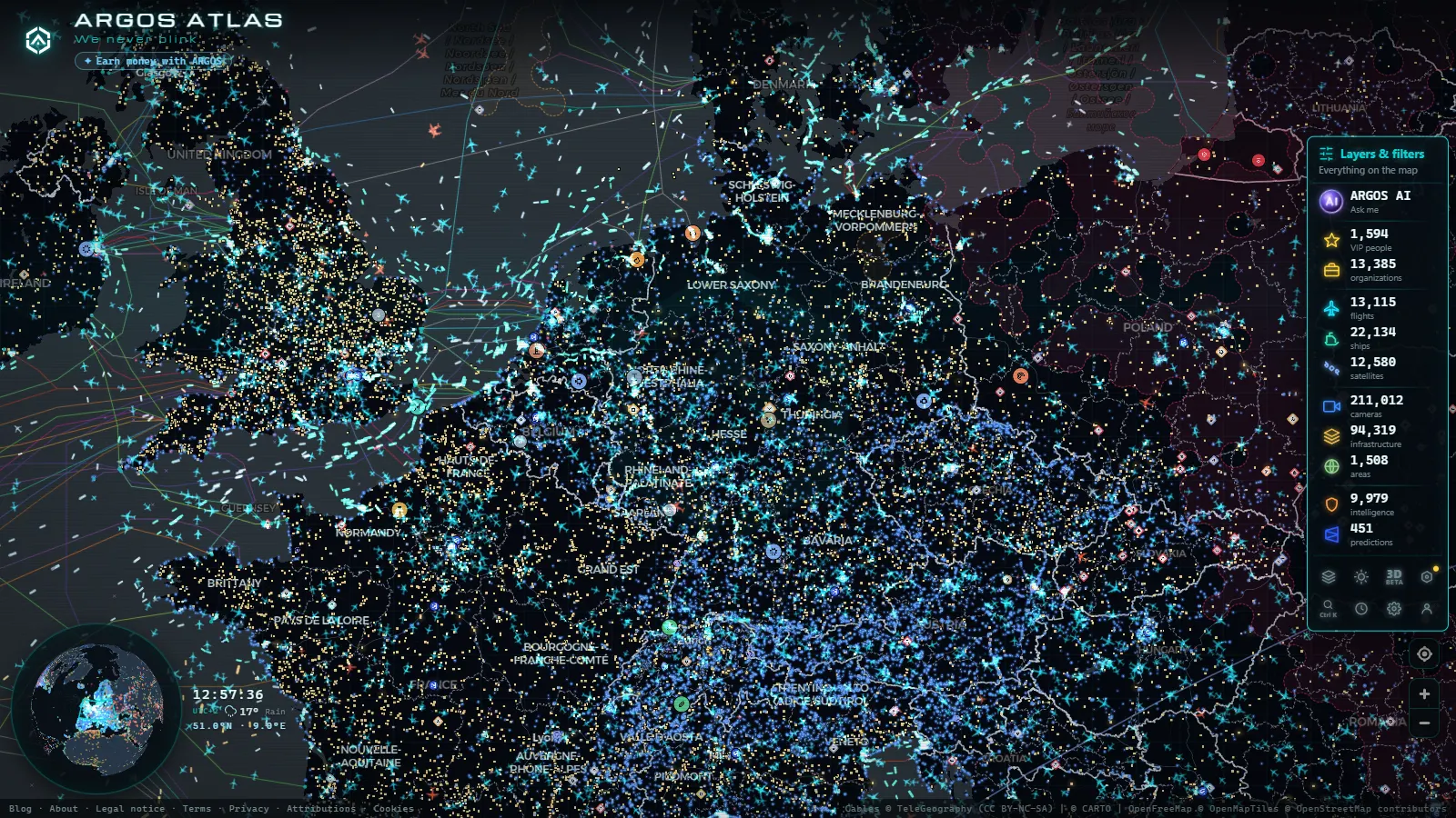
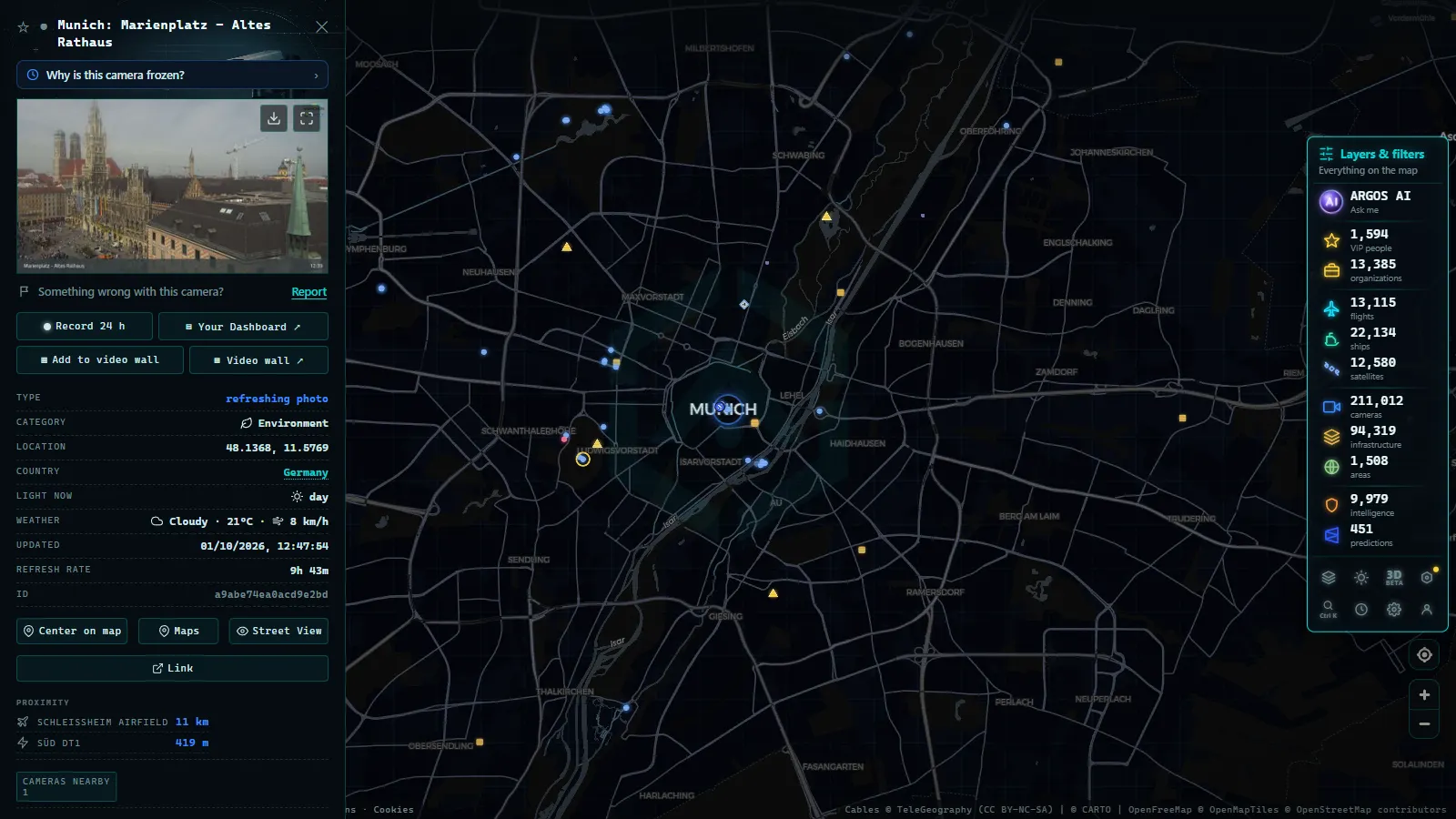
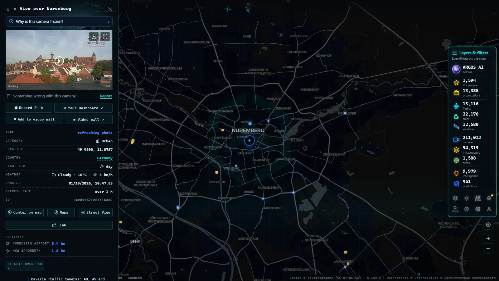
Open the live map of public cameras, zoom into southern Germany, and the corridors draw themselves: a dense line along the A8 and the A9, a thinner one down the A93 towards Kufstein, scattered points on the approaches to Garmisch-Partenkirchen and Füssen. Click a marker and you get the current frame plus the source it came from, which is the field that tells you whether you are looking at an official road camera or a village webcam.
The catalogue holds 200,000+ public cameras worldwide (count as of September 2026), and the German points sit in the same view as the Austrian, Swiss and Italian ones. That is the practical advantage for this particular drive: the Brenner run crosses three countries and several operators, and nobody wants four browser tabs at a service area. It is free, it opens without an account, and it asks for nothing before it shows you the road.
Frequently asked questions
Are Bavaria traffic cameras free to watch, and do I need an account?
Yes, they are free and no registration is needed. The feeds come from public road operators, and the map opens straight into the live view without a sign up, a trial or a paywall. Nothing is asked of you before the road appears.
Can I see the Brenner pass itself from a Bavarian camera?
No. German feeds stop at the border near Kiefersfelden. Everything from the Inntal up to the Brenner ramp belongs to ASFINAG, the Austrian motorway operator, and it is a separate camera system with its own refresh behaviour. To follow the whole run you need both sets, which is the main reason to watch them on one map instead of one portal per country.
Do these cameras record me or catch speeding?
The public traffic cameras on the A8, the A9 and the alpine approaches are flow cameras. The images are too coarse to read a plate or identify a driver, and they are published as single low resolution frames. Speed and red light enforcement in Germany uses different, dedicated equipment that is not part of any public feed.
Which camera should I check before driving to Garmisch or the Fernpass in snow?
Check the valley approach, not the motorway. The A95 will look fine long after the B2 towards Griesen or the run up to the Fernpass has turned white. Combine one official road frame on the approach with a village or resort webcam for current snowfall, and read the timestamps on both.
Why does a camera show a clear road when the radio says the pass is closed?
Because the camera is beyond the barrier. A closed road with nobody on it photographs beautifully. The queue is upstream, at the last service area or the interchange where traffic is being turned around. A frozen feed produces the same illusion, so reload twice a few minutes apart and check whether anything in the frame has moved.
- Lugano traffic cameras: the A2, Chiasso and the lake live
- Christchurch Traffic Cameras: Live Now, Free, No Sign-up
- Yunlin Traffic Cameras: What You See on National 1 and 3
- Poland Traffic Cameras: Live Views of the A4, A2 and Gdansk
- Connecticut Traffic Cameras: Live Stills on I-91 and I-691
- Maine Turnpike cameras: every exit from Kittery to Augusta