Blog · Traffic cameras
Yunlin Traffic Cameras: What You See on National 1 and 3

Yunlin County (雲林縣), on Taiwan's west coast, has hundreds of public cameras you can open in a browser right now, free and without an account: the mainlines of National Highway 1 and National Highway 3 where they cross Douliu (斗六), the provincial road through Xiluo (西螺) and Beigang (北港), the approaches to the industrial coast at Mailiao (麥寮), and the flood cameras on Yunlin Creek (雲林溪). They are still frames refreshed on a cycle, not video, and that difference decides what they are good for.
This is the corridor page, not the country page. Who operates Taiwan's cameras as a whole is in the guide to traffic cameras in Taiwan; here we stay inside one county, which is where these frames earn their keep: a typhoon landing on the west coast, a holiday queue at the Xiluo bridge, or a night when National 1 is stopped and you want to know whether the old road is any better. Everything below opens from the live ARGOS map with no registration.
The essentials, in 20 seconds
- Roads covered: National Highway 1 and National Highway 3 mainlines, Provincial Highway 1 with its 台1丁 branch, Douliu city junctions and the coastal road toward Mailiao.
- Four operators, not one: the Freeway Bureau, the Directorate General of Highways, the Yunlin County Government and the Water Resources Agency (水利署), each with its own refresh cycle.
- Format: JPEG stills, not streaming video. No face is identifiable and no plate is readable at that resolution.
- Free and open: no account, no app, on the same map as the rest of the 200,000+ cameras in the ARGOS catalogue (count as of September 2026).
- Best moment to look: typhoon landfall and the hours right after, when the river cameras say more than any forecast.
Who runs the Yunlin traffic cameras
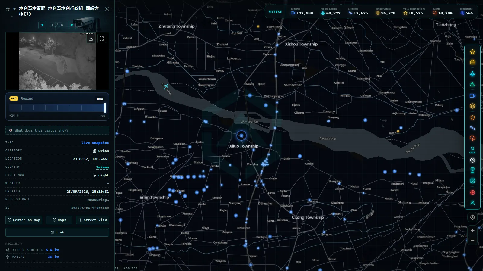
Four bodies, and their frames do not look alike. The Freeway Bureau owns the cameras on National Highway 1 and National Highway 3, the two north to south motorways that cross the county. The Directorate General of Highways owns the provincial network, including Provincial Highway 1 and the east to west expressway that links the coast with Douliu. The Yunlin County Government runs the urban junctions inside Douliu, Huwei (虎尾) and Beigang. And the Water Resources Agency, together with the county's own water department, runs the river cameras, which is why a name like 水利署水資源 雲林縣政府水利處 tells you the frame comes from the flood people and not from the traffic people.
That matters for reading them. A freeway camera is aimed down the lanes at car height and refreshes fast. A water camera is aimed at a channel, sits higher and can go a long time between frames. Same map, different questions. If you are unsure which one you have in front of you, the operator name travels with the camera record, and how to tell whether a webcam is official covers why that label is worth checking before you quote anything.
Yunlin traffic cameras on National 1 and National 3
National Highway 1 (中山高) runs down the western half of the county past Douliu and crosses the Zhuoshui River (濁水溪) at the northern boundary. National Highway 3 runs further inland through the hills at Gukeng (古坑), and it is the release valve: when National 1 backs up on a long weekend, the traffic that can reroute goes there. Watching the two together is the only way to know whether a jam is local or national.
The useful trick is comparing frames rather than reading one. Open a camera on the National 1 mainline near Douliu and one on National 3 at the same minute. If both look dense, the problem is upstream toward Changhua or Taichung and nothing you do inside Yunlin helps. If only National 1 is dense, the interchange is the bottleneck and the inland route is worth the extra kilometres. The stills carry no speed reading, so vehicle density and the gaps between cars is all you get, and in practice it is enough to decide.
From the ARGOS ATLAS channel.
Provincial Highway 1, Xiluo and Beigang
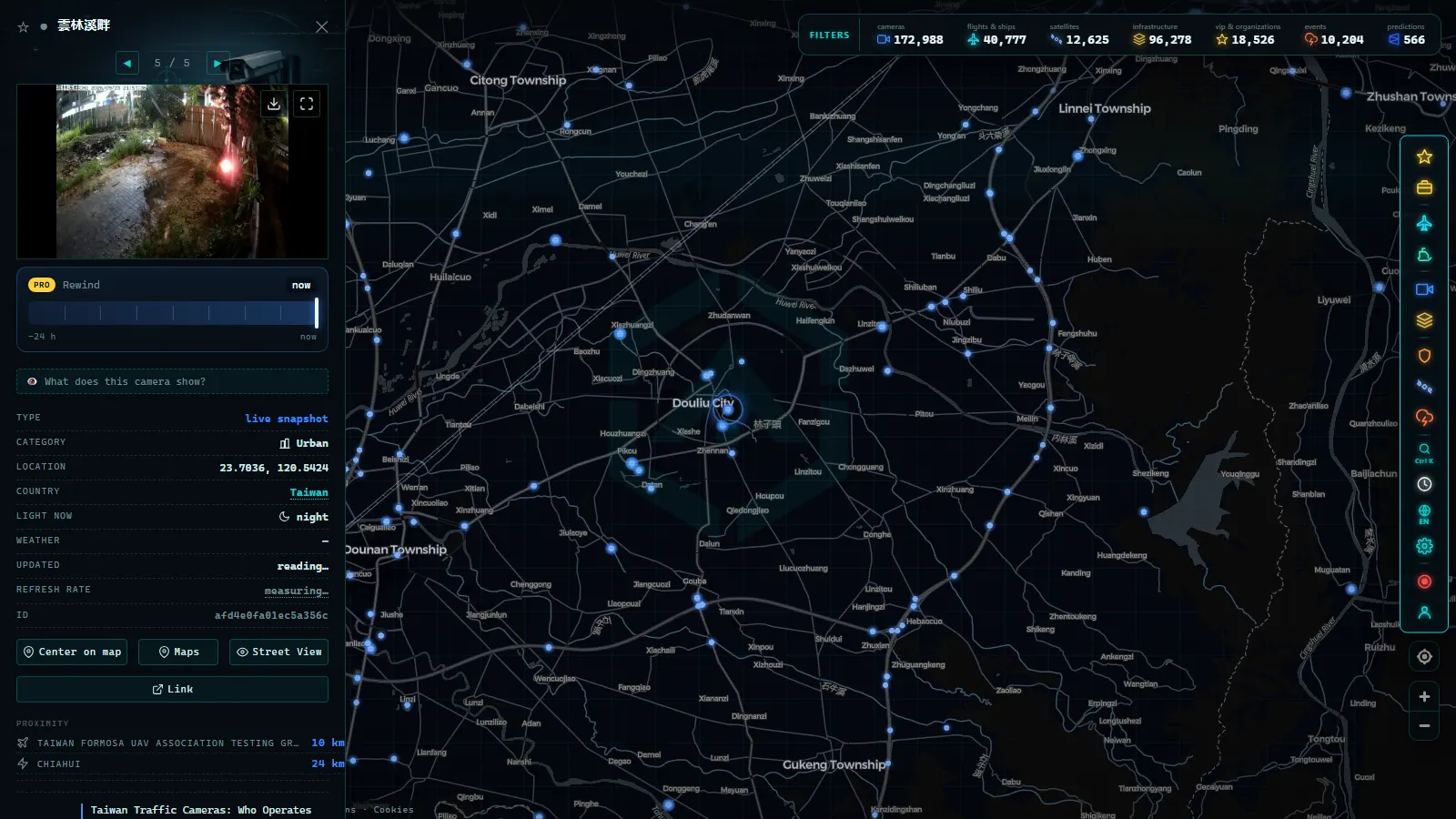
Provincial Highway 1 (台1線) is the old road, and in Yunlin it still carries what does not want to pay for the freeway: trucks toward the coast, agricultural traffic, and everything crossing at Xiluo, the town on the south bank of the Zhuoshui River known for its 1950s bridge. The branch marked 台1丁線 has cameras named by kilometre marker, which is how the highway service labels them, so a camera called 6K+900 sits at kilometre 6.9 of that branch and not at any street address.
Inside Douliu the county cameras sit at junctions instead, named after the two streets that cross. The pair below is the contrast worth seeing once: a kilometre post on a provincial branch, and a city intersection at 興南街 and 民生路.
The Mailiao approaches, and where the coverage stops
Mailiao is the reason many foreign readers end up looking at Yunlin at all: the petrochemical complex and its industrial harbour sit on reclaimed land at the northwest corner of the county. The public cameras reach the approaches, the coastal provincial road and the junctions that feed the site. They do not reach inside the plant, and there is no public camera on the harbour itself. The fence line is where the open sources end, and no amount of map zoom changes that.
If you want a harbour with a full record instead of an address, the nearest one north of the county line is Taichung, and it is a fair reference for what a documented port looks like next to one that is essentially closed to the public eye.
The Yunlin Creek river cameras
Yunlin Creek runs through the middle of Douliu, culverted in places and open in others, and the Water Resources Agency keeps cameras on its banks. In dry weather they are the least interesting images in the county: a concrete channel with a trickle. In a typhoon they become the most useful thing on the map, because they show water against a wall you can measure by eye, frame after frame, while the road cameras are only showing rain.
Two of them point at the same stretch of bank from different angles, which is worth more than it sounds. A single camera can be dirty, knocked off its aim or stuck on an old frame, and nothing in the picture tells you so. Two frames of the same water at the same hour give you a check. That habit saves you on any camera network, and the ordinary reasons a feed goes dark are in why a traffic camera stops working.
What each group of Yunlin traffic cameras covers
Six groups, and each answers a different question. Read the last column before you open anything: a camera watched for the wrong reason is a camera that disappoints. How many posts each group has changes as operators add and retire them, so the map is the authority on what is live at any given hour, not this page.
| Group | Where | What the frame shows | When to look |
|---|---|---|---|
| National Highway 1 | Douliu, Xiluo, Zhuoshui crossing | Mainline lanes, vehicle density | Before driving north on a holiday |
| National Highway 3 | Gukeng and the inland hills | Mainline and ramps, winter fog | When National 1 already looks dense |
| Provincial 1 / 台1丁 | Kilometre posts near Douliu | Surface road, trucks, junctions | To see if freeway queues spill onto the old road |
| Douliu junctions | 興南街, 民生路 and similar | Urban intersection at street level | Rush hour, and after heavy rain for standing water |
| Yunlin Creek | Riverbank inside Douliu | Channel, banks, water against the wall | During and right after a typhoon |
| Mailiao approaches | Northwest coast | Access roads and coastal weather | When wind restrictions hit the coast |
Typhoon season: what the frames really tell you
Yunlin sits on the flat western plain, which is where west coast typhoons and the southwest monsoon unload. During landfall three things show up in the frames and one does not. You see standing water on the provincial road, you see the channel filling in the river cameras, and you see visibility collapse on the freeway. You do not see wind speed: a still gives you a bent tree at best, and nothing you can quote as a number.
Expect losses, too. Power cuts take cameras offline in exactly the hours you want them, lenses get coated in spray and stay blurred for a day, and some feeds freeze on the last good frame instead of going black, which is the more dangerous failure because it looks healthy. Read the timestamp, not the picture. The minimap below holds the points named in this article, so you can jump between the riverbank and the road without hunting for them.
The points in this article
50 km
What you won't see
- Video: these are stills on a refresh cycle. No playback, no rewind, no archive of yesterday.
- People or plates: the resolution and the framing do not allow identification, and that is deliberate on every operator in the county.
- Reliable night images: most road cameras here lose usable detail after dark and give you headlights and glare. Taiwan is UTC+8 all year, with no daylight saving, so plan around real local time.
- Inside Mailiao: the industrial complex and its harbour have no public cameras. Only the approaches do.
- Numbers: no speed, no vehicle count, no water level in centimetres. Everything is read by eye from the frame.
- Guaranteed uptime: operators move, repoint and retire cameras without notice, and a storm takes a share of them offline.
Opening Yunlin on the map in two minutes
Open the map of live cameras, search for Douliu or Xiluo, and the camera layer fills in the county. Click any marker and you get the current frame, the operator name and the coordinates, which is everything you need to judge whether the image is worth anything. Two habits make the difference: check the local clock before you blame a dark frame on a broken camera, and compare two nearby cameras before you believe either of them.
Local time on the ground, live:
Local time in Douliu
From Yunlin the rest of the island is one pan away, and the operators you will meet outside the county work by the same logic: public frames, modest resolution, and an honest gap where the private property starts.
Frequently asked questions
Are Yunlin's traffic cameras free to watch, and do they need an account?
Yes, they are free and no account is needed. Every camera in Yunlin comes from a public operator: the Freeway Bureau, the Directorate General of Highways, the county government or the Water Resources Agency. On the ARGOS map you click a marker and the current frame loads in the browser, with no app and no sign-up.
Are these live video streams?
No. They are still JPEG frames refreshed on a cycle that varies by operator, from around a minute on the freeway cameras to considerably longer on some river posts. There is no playback and no archive, so a frame is only worth what its timestamp says. Check that timestamp before trusting the picture.
Which roads in Yunlin have cameras?
National Highway 1 and National Highway 3 along their mainlines, Provincial Highway 1 and its 台1丁 branch, the east to west expressway toward the coast, junctions inside Douliu and the approaches to Mailiao. The Water Resources Agency adds cameras on Yunlin Creek, which are road cameras only by accident but the most useful ones in a storm.
Can I watch a typhoon arrive through these cameras?
Partly. You see rain, standing water on the road, visibility collapsing and the river channel filling against a wall you can measure by eye. You do not see wind speed, and power cuts take a share of the cameras offline exactly when the storm lands. Use several cameras, never one.
Why does a Yunlin camera show the same image for hours?
Because it is stuck, not because traffic stopped. A frozen feed is the most common failure on any camera network and it looks identical to a working one. Compare the timestamp with the local clock in Douliu, then open a second camera nearby. If only one is stale, the fault is that post.
- Poland Traffic Cameras: Live Views of the A4, A2 and Gdansk
- Connecticut Traffic Cameras: Live Stills on I-91 and I-691
- Maine Turnpike cameras: every exit from Kittery to Augusta
- How Traffic Cameras Work (And Why They Are Public)
- DGT Traffic Cameras: 10,894 Live Feeds in Spain
- Watch Live Traffic: Every Way to Check Road Conditions in Real Time