Blog · Traffic cameras
Christchurch Traffic Cameras: Live Now, Free, No Sign-up
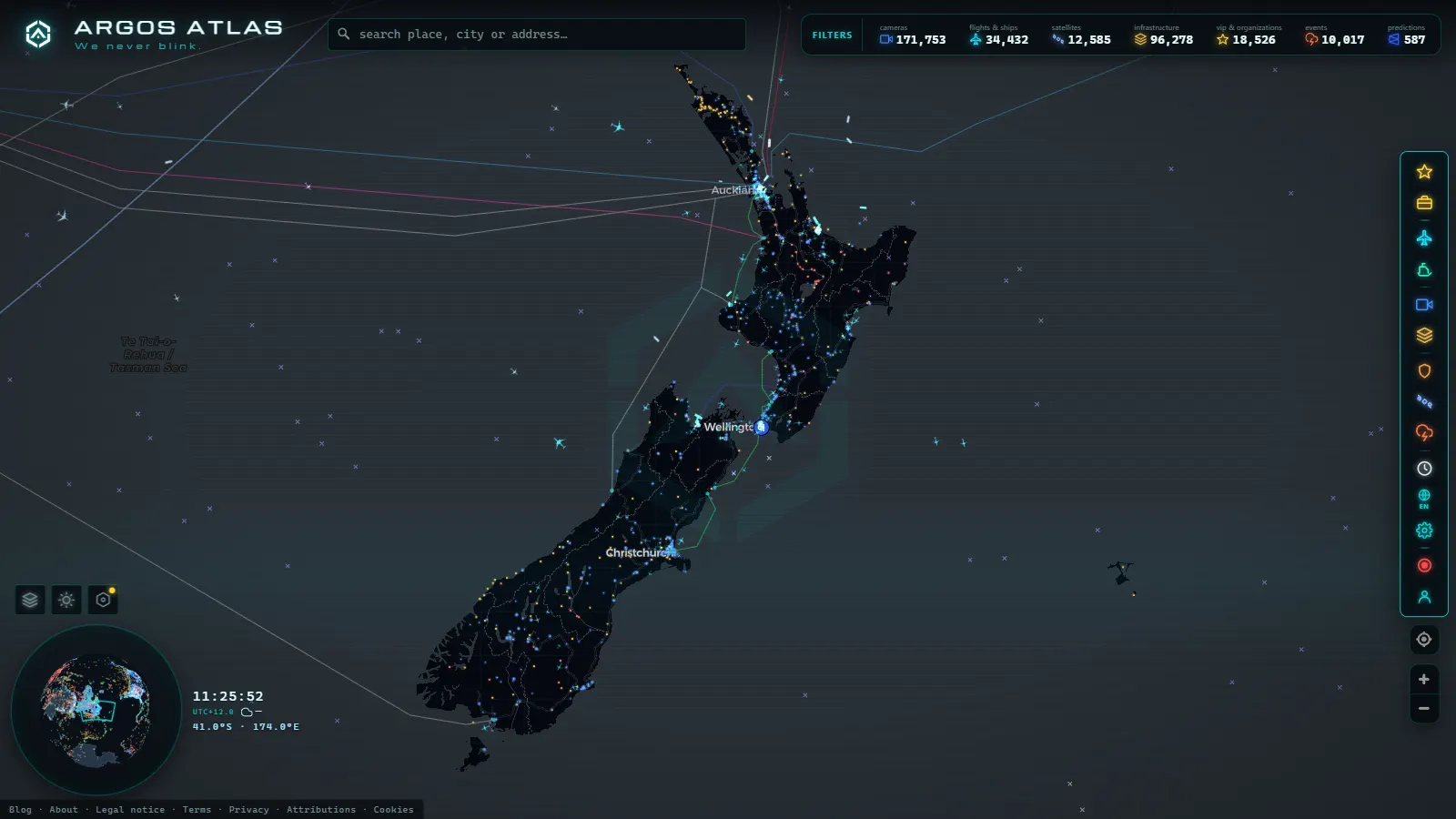
The Christchurch traffic cameras you can open right now are free, live and available without an account: a compact set of still-image cameras run by NZTA Waka Kotahi on the two roads that carry most of the city's through traffic, SH76 across the south and SH1 on the Northern Motorway, plus the approaches to Christchurch International Airport and the climb over the Port Hills to Lyttelton. They sit on the same dark map as the rest of the world's public cameras, so you can go from a queue on Brougham Street to the ships riding at anchor off the port without leaving the page.
This is the street-level version of what the New Zealand traffic camera guide only summarises. Every Canterbury camera below is named, placed and explained: which way it faces, what it really shows, and when it is worth opening.
The essentials, in 20 seconds
- NZTA Waka Kotahi runs the state highway cameras in Canterbury, and publishes still frames on a refresh cycle, not video.
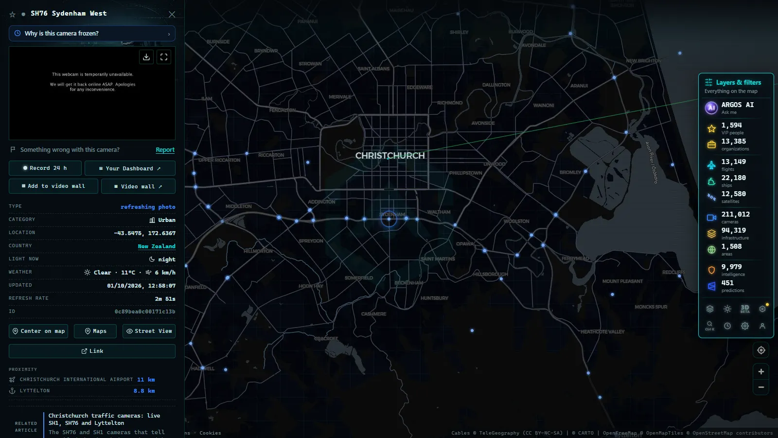
- SH76 (Brougham Street) is the best covered road in the city, with four cameras between Selwyn Street and Waltham Road.
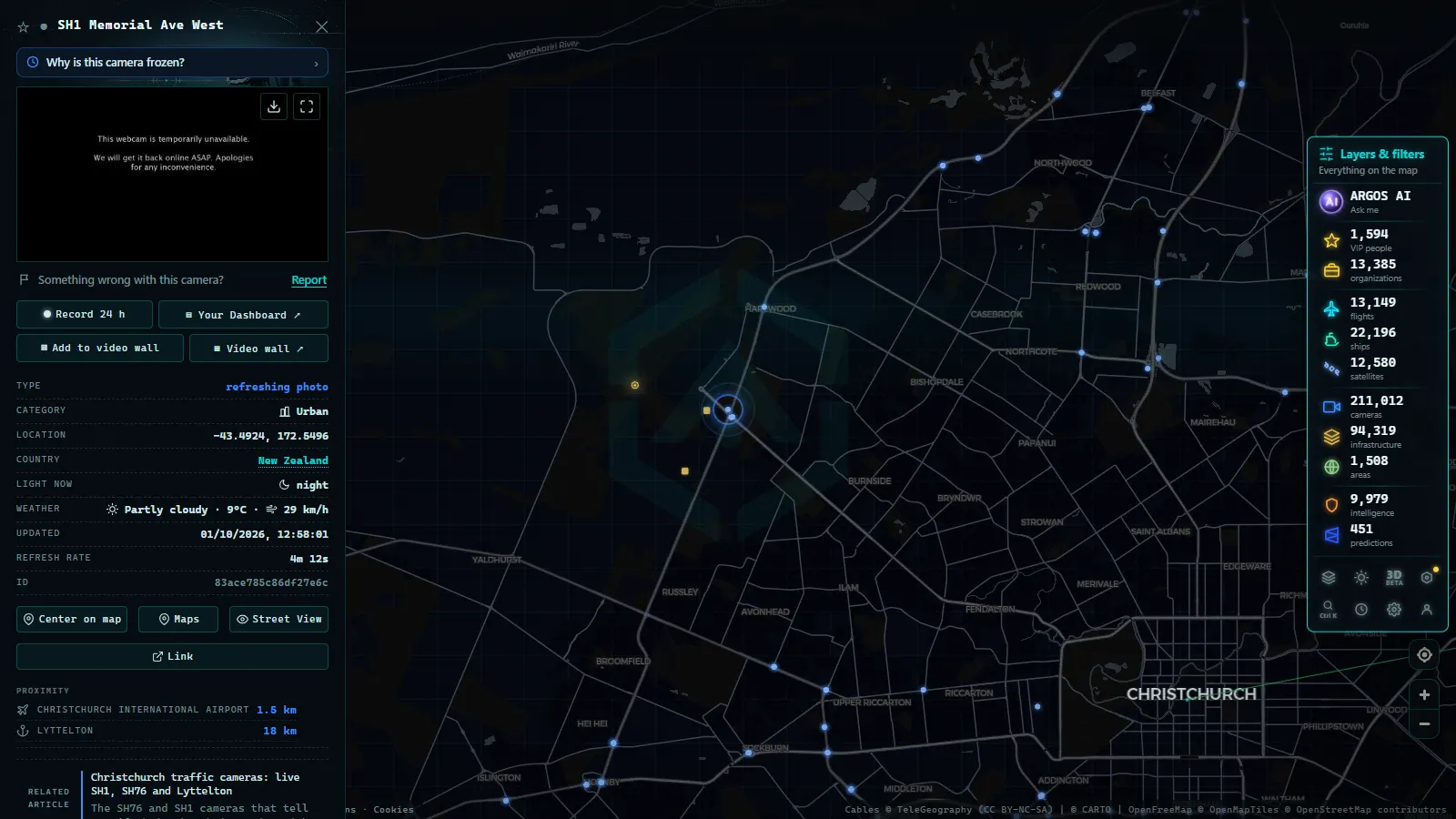
- SH1 Northern Motorway is watched at Tram Road and over the Kaiapoi bridge, the two points where the northern commute stalls.
- Christchurch International Airport (NZCH / CHC) and the port of Lyttelton appear on the same map as live aircraft and ship positions.
- Free and no sign-up: every camera and every layer opens straight from the browser.
Who runs these cameras, and what they publish
Every camera in this guide belongs to NZTA Waka Kotahi, the national road agency. The feeds are still photographs refreshed every few minutes, served from the same system that feeds the official journey planner. There is no sound, no pan and tilt control and no archive: you get the most recent frame from a fixed lens pointed at a fixed piece of road.
Christchurch City Council also operates cameras in the central city, and Environment Canterbury runs weather and river monitoring, but neither publishes an open image feed you can place on a map. The practical consequence is that coverage follows the state highway network rather than the suburbs: a crash on Blenheim Road or Riccarton Road will not appear on any camera here, while a queue on the motorway will. If you want the mechanics of why these images are public at all, the guide to how traffic cameras work covers the legal side.
SH76: the Brougham Street run across the south
SH76 is the odd one out among New Zealand state highways. For most of its length through the city it is an ordinary urban street, four lanes of Brougham Street cutting through Sydenham and Waltham, with traffic lights every second block. It is also the route freight takes between the Christchurch Southern Motorway and the tunnel road to the port, which is why it earns four cameras in a couple of kilometres.
Running west to east the sequence is Selwyn Street looking east, then the view east along Brougham Street from Antigua Street, then Burlington Street and Waltham Road. Read them in order and you can separate a genuine blockage from a normal light cycle: if Selwyn Street is stacked and Waltham Road is clear, the problem is behind you to the west. If all four are full, something has gone wrong at the Opawa end or on the tunnel approach.
From the ARGOS ATLAS channel.
SH1 north: Tram Road, Kaiapoi and the river
North of the city SH1 becomes the Northern Motorway and the traffic changes character completely: no lights, high speed, and a single crossing of the Waimakariri that becomes a bottleneck the moment anything goes wrong. The two cameras here sit either side of that pinch.
The first looks south from Tram Road, the interchange that feeds Ohoka and the lifestyle blocks inland. The second looks north over the Kaiapoi bridge. Between them they answer the only question a northern commuter has at half past seven: has the queue started, and how far back does it reach? A solid frame at Tram Road with clear road at Kaiapoi usually means the hold-up is south of you, on the river crossing itself.
SH73 west: the plains, Porters Pass and Arthur's Pass
SH73, the West Coast Road, leaves the city at Yaldhurst and runs almost dead straight across the Canterbury Plains through Darfield and Springfield before climbing Porters Pass and Arthur's Pass on its way to Otira and the coast. It is the one road out of Christchurch where the weather, not the traffic, decides whether you travel.
Be clear about what the map gives you here. The Canterbury cameras in this guide are city cameras. The alpine views on SH73 sit far inland, well past Springfield, and they answer a different question: snow, ice and closure rather than congestion. If that is your trip, the guide to mountain pass cameras explains how to read a frozen frame, and the road condition notices from NZTA Waka Kotahi remain the thing that actually opens or closes the pass.
Christchurch Airport and the traffic above it
The airport (NZCH on the ICAO code, CHC on your boarding pass) sits at Harewood, northwest of the centre, and its landside approach runs along Russley Road, which is itself part of SH1. There is no public camera pointed at the runway, and that is normal: airports are not part of the traffic camera network anywhere in New Zealand.
What the map does give you is the air picture. Open the flight layer and you get live ADS-B positions, so you can watch the Australian arrivals come in over the plains and the domestic shuttle to Wellington and Auckland climb out. In the southern summer the Antarctic flights are the interesting ones: Christchurch is the main gateway to McMurdo, and the heavy transports on that route are easy to spot because they sit on the ground for hours between legs.
Lyttelton: the port over the hill
Lyttelton is Christchurch's port, and geographically it is on the far side of the Port Hills, in a drowned volcanic crater reached by a road tunnel on SH74 or over the top by Evans Pass and Dyers Pass. Most of what arrives in the South Island by sea comes through here: containers, bulk cargo off the Midland Line, cruise ships at the deepwater berth.
The tunnel has no public camera, so the honest way to read the approach is upstream, on SH76: if Brougham Street is backed up eastbound in the afternoon, the tunnel queue has already formed. On the water side the map is better than the road side, because AIS gives you the name, heading and speed of every vessel in the harbour and in the anchorage outside the heads.
A camera for each question
| Camera | Road | What it tells you | When to look |
|---|---|---|---|
| Selwyn Street, looking east | SH76 | Whether the Brougham Street run flows from the western end | Before joining the Southern Motorway link |
| Brougham Street from Antigua Street | SH76 | The central block and its light cycle | Midday freight, and after any city centre event |
| Burlington Street | SH76 | The Sydenham side streets feeding in | Weekday afternoon peak |
| Waltham Road | SH76 | The eastern end, closest to the tunnel approach | Before driving over to Lyttelton |
| Tram Road, looking south | SH1 | Where the northern queue starts | Weekday mornings, roughly seven to nine |
| Kaiapoi bridge, looking north | SH1 | Whether the jam reaches past the river | Friday evenings and long weekends |
Timing: the hours that matter in Canterbury
Christchurch runs on NZST in winter and NZDT in summer, which puts it well ahead of almost everyone reading this. If you are watching from Europe, the Canterbury morning peak happens while you sleep, and the frames you see over breakfast are a quiet Christchurch evening.
Local time in Christchurch
Three local patterns are worth knowing. The northern commute on SH1 builds early and clears mid morning. Brougham Street is worst in the late afternoon, when port traffic and the school run overlap. And the nor'wester can cut visibility on the plains without a drop of rain, because it lifts dust. In winter, morning fog on the Canterbury Plains is the most common reason a frame looks broken when the camera is perfectly fine.
What you won't see
- Video. Every image is a still frame on a refresh cycle. Watching one is watching a slideshow, not a stream.
- People or number plates. The resolution and the framing are built for traffic flow, not identification, and nothing here is recorded for you.
- The Lyttelton road tunnel, inside or at the portals. No public camera covers it.
- The central city. Moorhouse Avenue, Riccarton Road, Blenheim Road and the suburban arterials have no state highway camera on them.
- Reliable night frames on the unlit motorway sections north of the city.
- Banks Peninsula and Akaroa, and most of rural Canterbury, where the highway camera network simply does not reach.
Working the map from here
Open the live map of public cameras, zoom to Christchurch and the Canterbury markers appear along the two highways described above. Click one and you get the latest frame plus the road it belongs to; the flight and ship layers stay on at the same time, which is the point of reading the city, the airport and the port together rather than on three different sites.
The points in this guide
50 km
The same approach works for any city sitting under a country level article: the Perth traffic camera guide does it for Western Australia. And when a frame is grey, black or frozen for hours, it is usually the camera rather than your connection: why a traffic camera stops working lists the usual causes and what to check instead.
Frequently asked questions
Are the Christchurch traffic cameras free to watch?
Yes, and there is no account, no app and no paywall. The images come from NZTA Waka Kotahi, which publishes them as a public service, and ARGOS ATLAS simply places them on a map alongside flights, ships and infrastructure. You can open any Canterbury camera, look at the latest frame and close the tab without leaving a trace.
Who operates the traffic cameras in Christchurch and Canterbury?
NZTA Waka Kotahi, the national road agency, operates every camera in this guide, because they all sit on state highways: SH76 through the city and SH1 to the north. Christchurch City Council runs separate cameras in the central city and Environment Canterbury monitors weather and rivers, but neither publishes an open image feed for the public map.
Can I see inside the Lyttelton tunnel or the port itself?
No on both counts. The road tunnel under the Port Hills has no public camera, and the port's own operational cameras are not published either. What you can do is read the approach on the SH76 cameras and watch the harbour itself through AIS, which gives you the name, heading and speed of every ship in Lyttelton and in the outer anchorage.
Do the Christchurch cameras work at night?
Some do, most do not in any useful way. Street lighting on Brougham Street keeps the SH76 frames readable, so you can still tell a queue from an empty road. The SH1 motorway cameras north of the city have far less light, and between dusk and dawn the frame is often a black rectangle with headlight streaks.
Are there cameras on SH73 towards Arthur's Pass?
Yes, but they are alpine cameras, not Christchurch ones. NZTA Waka Kotahi watches Porters Pass and Arthur's Pass because of snow and ice, and those views sit well inland, past Springfield. They tell you whether the road over the Southern Alps is passable, which is a different question from whether the city is moving.
- Yunlin Traffic Cameras: What You See on National 1 and 3
- Poland Traffic Cameras: Live Views of the A4, A2 and Gdansk
- Connecticut Traffic Cameras: Live Stills on I-91 and I-691
- Maine Turnpike cameras: every exit from Kittery to Augusta
- How Traffic Cameras Work (And Why They Are Public)
- DGT Traffic Cameras: 10,894 Live Feeds in Spain