Blog · Traffic cameras
Connecticut Traffic Cameras: Live Stills on I-91 and I-691
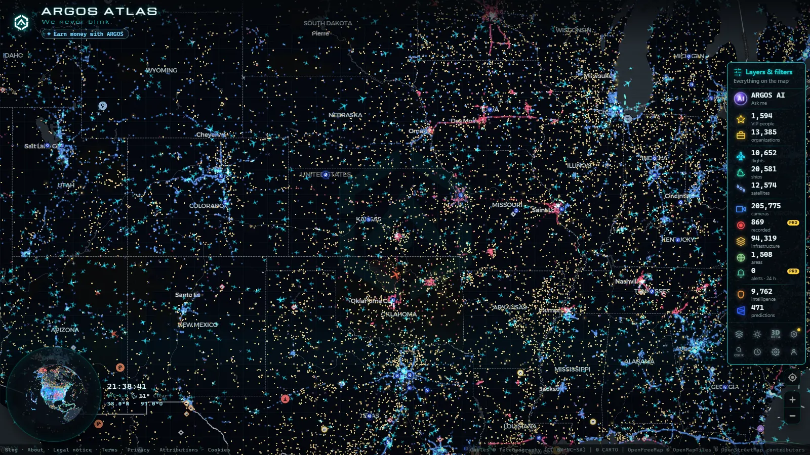
Connecticut's traffic cameras are public, free and already plotted on one screen: open the Connecticut stretch of the live map of traffic cameras and you get Connecticut Department of Transportation roadside cameras as refreshed stills, each one labelled with its route, its direction, its town and the exit it faces. No account, no app, no payment.
This is not the generic "511 cameras" answer. It covers the state the way the layer actually holds it: which corridors carry the poles, how to decode a label like CAM 210 I-91 SB Meriden, what each camera is good for, and the hours when the picture tells you something a traffic app does not. Every road named below was read off the layer rather than from memory.
The essentials, in 20 seconds
- CTDOT owns the feeds: fixed roadside cameras on the interstates, published as stills that refresh every few seconds.
- I-91 and I-691 are the corridors the Connecticut cameras in this guide sit on, clustered around Meriden and Middletown.
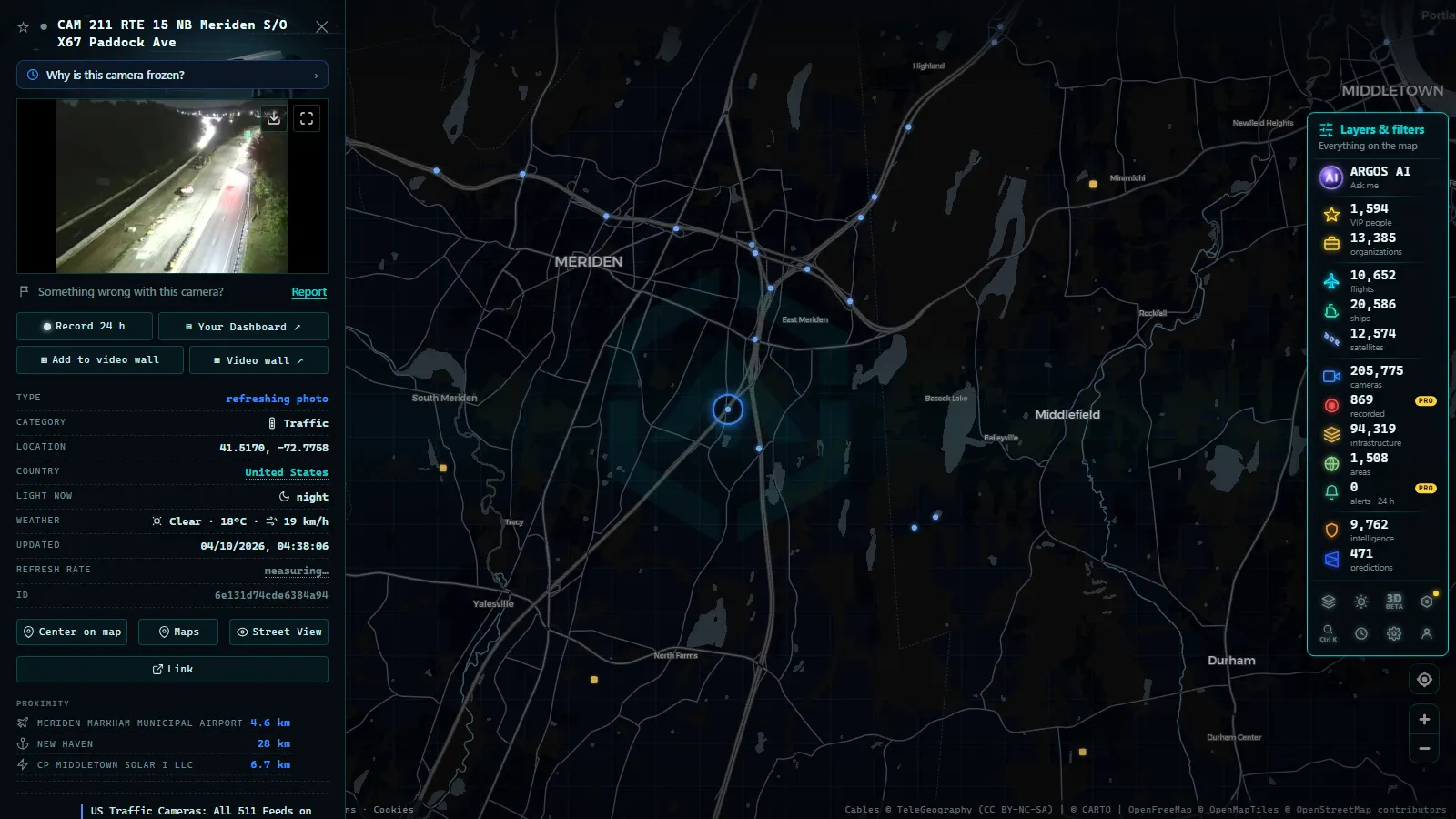
- The label is the map: "CAM 210 I-91 SB Meriden S/O X17 East Main St" gives number, route, direction, town and exit.
- Numbering runs along the road: CAM 188 to CAM 190 walk eastbound I-691, CAM 204 to CAM 210 walk I-91, so one hit hands you its neighbours.
- 205,772 cameras in the whole catalogue (count as of October 2026), with the Connecticut poles sitting inside the wider US layer.
What a Connecticut traffic camera actually shows
A CTDOT camera is a pole-mounted unit pointed up or down the carriageway, and what it publishes is a frame, not a stream. In one glance you get the things that matter before you drive: how many lanes are moving, how long the queue is behind an incident, whether the surface is wet, white or dry, whether the shoulder is blocked by a breakdown crew. What you do not get is a speed, a plate, a face or a recording.
Two consequences people miss. First, a still can be seconds old or minutes old, so a clear picture is not proof of a clear road right now. Second, a state camera can be swung by an operations centre during an incident, which means the pole you bookmarked for the I-91 mainline may be aimed at a ramp exactly when you need the mainline. That is normal behaviour, not a fault. The fix is to open a neighbouring camera number instead of giving up on the corridor. If a feed stays dark, why a traffic camera stops working covers the usual causes.
The corridors the Connecticut traffic cameras really sit on
Two routes carry everything verified here. I-91 is the north-south spine that runs up the Connecticut River valley from New Haven past Meriden and Middletown toward Hartford. I-691 is the short east-west connector whose eastern end ties into I-91 and the Wilbur Cross Parkway (Route 15) at Meriden, which is exactly what its camera labels say: one of them is named for Exit 1C Wilbur Cross Pkwy.
That shape matters more than a statewide total. The layer is organised by route, not by municipality, so the way to find a Connecticut camera is to think in route numbers and exit numbers. A town two blocks off the interstate has nothing, while a single interchange can hold three poles. It is the same pattern as the neighbouring states: see New York's 511 camera network for a much denser version of the same logic, and US traffic cameras on one map for how the state networks stack up together.
From the ARGOS ATLAS channel.
How to read a CTDOT camera label
Every field in the name is usable. Decoding one label teaches you the whole state, because the pattern repeats on every pole.
| Fragment of "CAM 210 I-91 SB Meriden S/O X17 East Main St" | What it means | What to do with it |
|---|---|---|
| CAM 210 | the camera's number along the corridor | open the numbers either side to walk the same road |
| I-91 | the route the pole serves | search the layer by route number, not by town |
| SB | the direction of travel in view | pick the direction you will drive, not the one you can see |
| Meriden | the municipality on the sign | use the local name, it is how the feed is indexed |
| S/O X17 East Main St | south of exit 17, at East Main St | trust the street name: Connecticut exit numbers exist in two systems |
That last row is the trap. The state renumbered its exits to milepost-based numbers, and the feeds still carry both, so the same I-691 pole can appear as Exit 2B in one place and Exit 7 in another. The cross street is the stable identifier.
Meriden: three cameras inside two miles
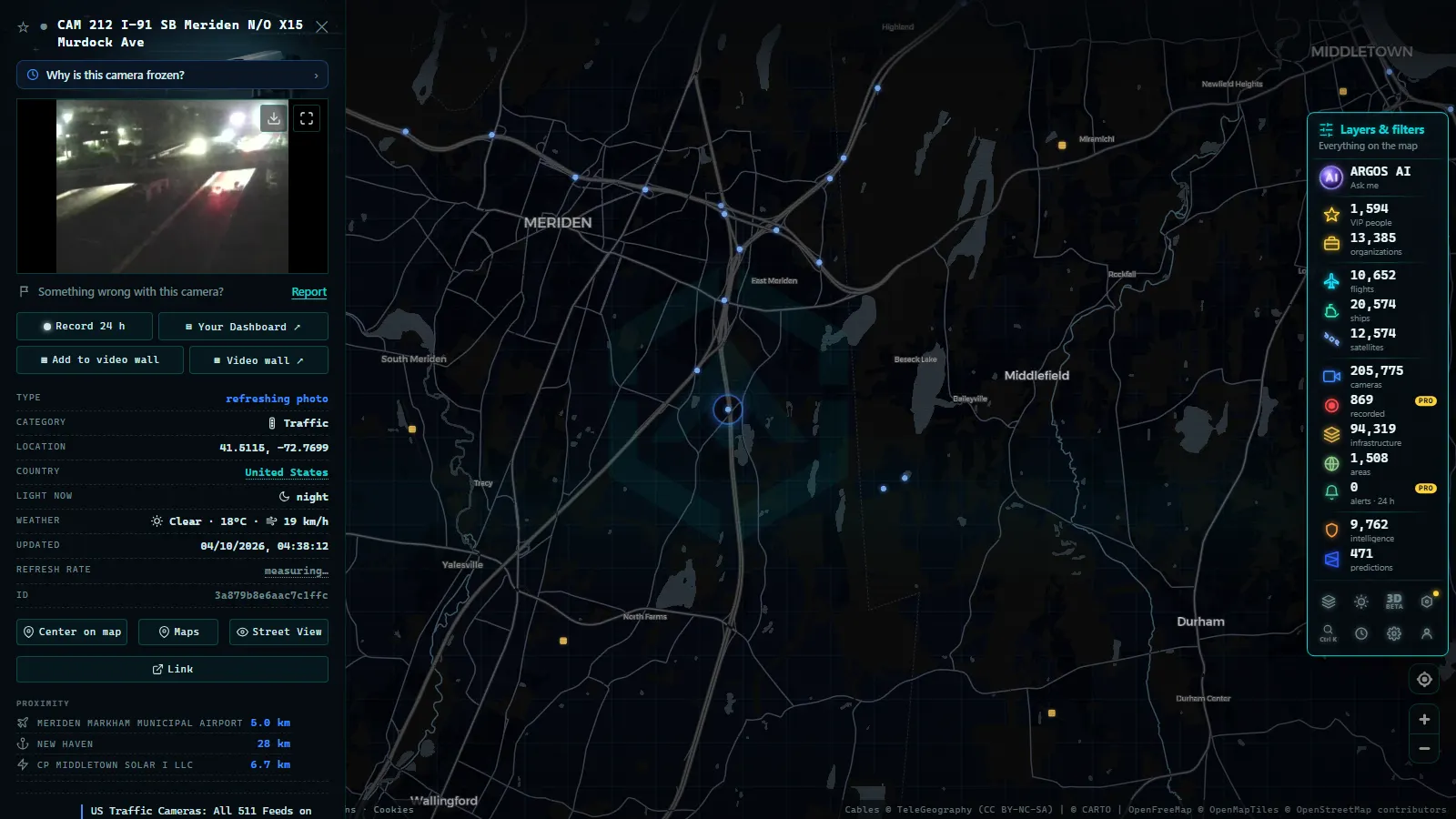
Meriden is the densest cluster in this set, and the reason is geometry: I-691 lands on I-91 here, with the Wilbur Cross Parkway feeding the same knot. Eastbound I-691 alone carries CAM 188 west of Exit 1C Wilbur Cross Pkwy, CAM 189 at Exit 2A Broad St and CAM 190 east of Exit 2B Colony St, and then CAM 210 picks up southbound I-91 just south of Exit 17 East Main St.
Three cameras in that span let you do something a single camera cannot: locate the back of a queue. If CAM 190 is solid and CAM 189 is moving, the blockage is downstream of Colony St and you still have a way out. If both are solid, the ramp has already backed up into the mainline. Check the westbound pole too, because an incident on one carriageway slows the other through pure rubbernecking.
Middletown, and the paired cameras at Exit 20
North of the Meriden junction, the next stop in the layer is Middletown, where I-91 carries a matched pair at Exit 20 Country Club Rd: one looking northbound, one looking southbound from the same interchange.
A paired camera is the most efficient single check in the state. Both frames share the same weather, the same light and the same minute, so any difference between them is traffic, not conditions. That is the quickest way to answer the only question most drivers have: is it slow in my direction, or slow everywhere. Keep going north on I-91 and the corridor runs toward Hartford and Windsor Locks, where the state's main airport sits beside it and the inbound flow is airport traffic as much as commuter traffic.
When it is worth opening a Connecticut traffic camera
Local time in Connecticut
| Window (local time) | What the cameras are good for | What to look for |
|---|---|---|
| 06:30 to 09:00 | the southbound build on I-91 toward New Haven | the back of the queue, not the junction itself |
| 15:30 to 18:30 | the evening knot where I-691 meets I-91 at Meriden | whether a ramp queue has spilled onto the mainline |
| 11:00 to 14:00 | surface condition in full light | pavement colour: wet black, slush grey, dry pale |
| after dark | lit interchanges only | headlight density and blue lights, not detail |
| during a storm | ground truth no routing app carries | whether lane markings are still visible |
The midday row is the one people skip and the one that pays. Nothing on a traffic app tells you that the right lane is still covered in brown slush while the left two are clear, and that is a decision you make before leaving, not on the ramp.
Winter is when these cameras beat the apps
A routing app models delay. A Connecticut camera shows the road. In a nor'easter those two disagree constantly: the app reports free flow because almost nobody is driving, while the frame shows an unplowed surface with tyre tracks as the only guide. The valley cameras on I-91 are useful here precisely because they look down a long straight carriageway, so you see several hundred metres of surface at once, and the airport-bound run north reads differently from the shoreline-bound run south in the same hour.
The same trick works on any elevated or exposed stretch anywhere, and it is the whole argument for mountain pass cameras before a trip. For Connecticut, the practical sequence is a pair camera first for conditions, then the nearest corridor camera in your direction for flow.
What you won't see
- Stills, not video: no continuous stream, no playback, no archive to scroll back through, and no way to review what happened an hour ago.
- No identification: framing and resolution are built for lanes and queues, not for plates or faces, and nothing here is evidence of anything.
- Night gaps: an unlit rural pole after dark gives headlight smear and little else, so the useful night cameras are lit interchanges.
- Silent outages: a panned camera, a dropped feed or a maintenance window leaves a frozen frame or a grey box, with no notice attached.
- Route coverage, not blanket coverage: poles follow the interstates and their interchanges, and no verified camera total for the state is published on this page.
- No numbers: no speeds, no travel times, no incident text. The picture is the entire product, and reading it is on you.
Working the layer instead of hunting for feeds
The fastest route in is the corridor, not the search box: find one Connecticut camera, read its route and number, then step along the neighbouring numbers until you are at your interchange. Save the two or three that match your commute, because a camera you can open in one second is a camera you will actually use.
The cameras in this guide
50 km
Everything above sits on the same map as the flights overhead, the ships off the Long Island Sound ports and the rest of the infrastructure layers, so a weather event can be read from more than one angle at once. If you want the background on why these feeds are public in the first place, how traffic cameras work explains who pays for them and what the operators are allowed to publish.
Frequently asked questions
Are Connecticut traffic cameras free to watch?
Yes. The CTDOT roadside feeds are public data, and on this map they open with no account, no app and no payment. You click a pin and the latest still loads in the card. Nothing is behind a login, and nothing you do is tied to an identity.
Which Connecticut highways actually have the cameras?
The Connecticut cameras verified for this guide sit on I-91, the north-south river valley spine, and on I-691, the short connector that meets it at Meriden. Coverage follows interstate corridors and their interchanges rather than towns, so search the layer by route and exit, not by neighbourhood.
Do Connecticut traffic cameras record or issue tickets?
No. These are traffic monitoring cameras: they publish a refreshed still, not a stored video file, and the framing and resolution are built to judge lanes and queues. They do not read plates, they do not identify people, and nothing on this layer is enforcement equipment.
Why is a Connecticut camera showing a frozen or grey image?
Usually one of three things: the pole is in a maintenance window, the upstream feed dropped, or the camera has been panned off the mainline during an incident. None of these is announced. Open the neighbouring camera number on the same corridor, which is normally within a mile or two.
Can I see Connecticut traffic cameras at night?
Yes, but expect much less. A lit interchange still tells you about queue length and emergency lights, while an unlit stretch gives mostly headlight smear. At night the useful reading is density and colour of light, not detail, and the daytime surface check has to wait for morning.
- Maine Turnpike cameras: every exit from Kittery to Augusta
- How Traffic Cameras Work (And Why They Are Public)
- DGT Traffic Cameras: 10,894 Live Feeds in Spain
- Watch Live Traffic: Every Way to Check Road Conditions in Real Time
- Traffic cameras and privacy: what they capture, what they don't, and what the law says
- Mountain pass cameras: how to check road snow conditions before you travel