Blog · OSINT & verification
Algeria Live Map: Airports, Ships and the Camera Blank Spot
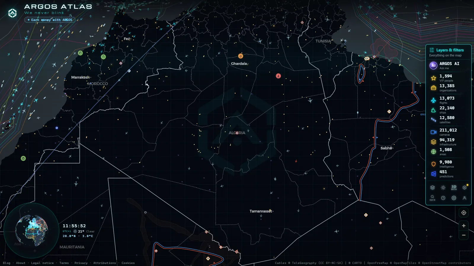
Algeria is the largest country in Africa and one of the thinnest on any live open source map. Open a global OSINT map over Algiers and the contrast hits you in a second: the sea is busy with vessel icons, the sky over the western Mediterranean is a steady conveyor of aircraft, and the roads are blank. There is no public traffic camera network streaming out of Algeria the way the Spanish DGT or Transport for London do, so the street level layer that makes a Madrid or a London view feel alive simply is not there.
That is not a reason to skip the country. It is a reason to know which layers carry real data before you start looking. This piece walks through what you actually get over Algeria today: the airports of the north and the Sahara, aircraft over the western Mediterranean, merchant traffic off Algiers, Oran, Béjaïa and Skikda, and the energy infrastructure around Hassi Messaoud. It also says plainly where the map goes quiet, because a blank area that you mistake for calm is worse than no map at all.
What the Algeria live map shows, layer by layer
The honest summary fits in one table. Coverage here means what you will find over Algerian territory and its waters, not what exists globally.
| Layer | Coverage over Algeria | What it is good for |
|---|---|---|
| Traffic cameras | None in the catalogue | Nothing yet. The nearest working feeds are on the Spanish coast |
| Airports and airfields | Complete: civil fields, Saharan strips, company airstrips | Identifying where a flight started or is heading |
| Flights (ADS-B) | Solid along the coast, patchy over the Sahara | Corridors, diversions, ferry flights, unusual routings |
| Ships (AIS) | Good near ports and along the coast, thinner far offshore | Tanker and LNG queues, anchorage build up, port calls |
| Ports and terminals | Commercial ports mapped worldwide, 1,081 of them | Fixing which terminal a vessel is actually waiting for |
| Power and energy sites | Plants and grid infrastructure, part of 34,936 worldwide | Context around Hassi Messaoud and Hassi R'Mel |
| Conflict and incident events | Rolling 90 day window, usually quiet in Algeria | Border incidents and Sahel spillover, not daily news |
The global totals give a sense of the base you are querying: 200,000+ cameras (count as of September 2026), 47,927 airports, 12,709 aircraft in the air at a typical moment and 21,213 vessels visible at once. Almost all of the camera number sits in Europe, North America and parts of Asia. Not one of those cameras is in Algeria.
Airports: the northern corridor and the Saharan strips
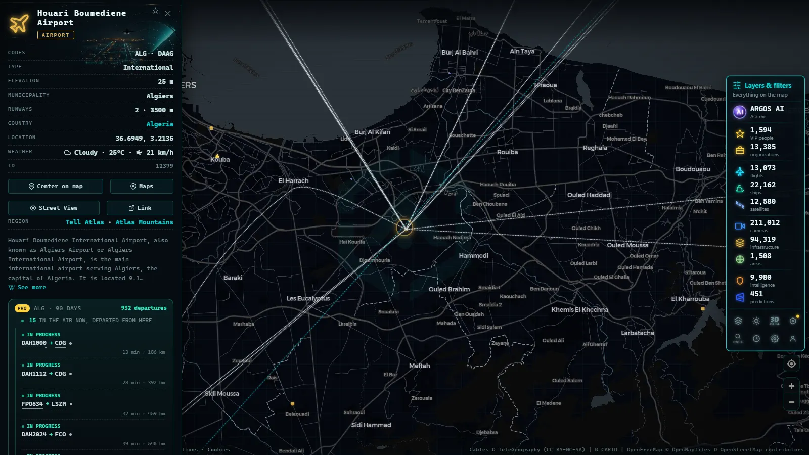
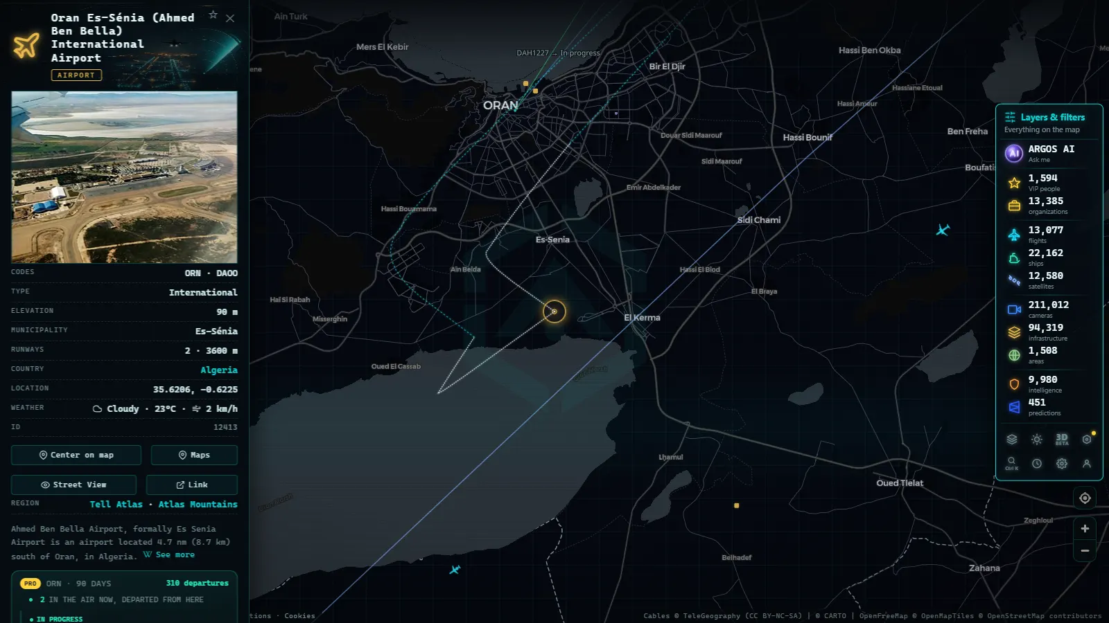
The airport layer is where Algeria looks as complete as anywhere else, because airfields are static data and the aviation community documents them well. The northern chain runs roughly along the coast: Houari Boumediene at Algiers, Ahmed Ben Bella at Oran, Mohamed Boudiaf at Constantine, Rabah Bitat at Annaba, plus the smaller fields at Tlemcen, Sétif and Batna.
The interesting part is south of the Atlas. Tamanrasset, Djanet, In Salah, Adrar, Illizi, Timimoun and Oued Irara at Hassi Messaoud are all there, alongside company strips that serve oil and gas fields and almost never appear in a commercial timetable. When you see a flight vanish from the track somewhere over the desert, the airport layer is how you work out which strips were within reach of its last known position and fuel state. That is standard practice in open source intelligence work: the static layer answers the questions the live layer cannot.
Zoom into Hassi Messaoud and the pattern is unmistakable. A long runway, a dense cluster of infrastructure and a rotation of narrow body flights from Algiers that behaves like a commute rather than a holiday route, because that is exactly what it is.
Flights over the western Mediterranean
The Algiers FIR covers a huge box of airspace, and the part of it you will actually see well is the northern strip. Receivers in Spain, the Balearics, Sardinia, Sicily and Tunisia pick up aircraft over the sea and over the Algerian littoral, so the coastal corridor renders cleanly. Traffic from Europe to West Africa crosses it constantly, and Algiers, Oran and Constantine generate their own dense pattern toward Paris, Marseille, Istanbul and the Gulf.
Go south and coverage degrades, for a mechanical reason worth repeating: ADS-B is a line of sight signal received by ground stations, and the Algerian interior has very few. Tracks fade, jump and reappear. If you are new to how that plumbing works, the guide to tracking aircraft in real time explains why altitude, receiver density and terrain decide what you see.
Two practical habits. First, judge a route by where it entered and left coverage, not by the dotted line the map draws to join the gap. Second, treat military aviation as absent by default: the map flags 153 aircraft worldwide as military at a given moment, and Algerian air force traffic is essentially never among them. Silence there is a property of the sensor, not of the sky.
From the ARGOS ATLAS channel.
Ships off Algiers, Oran and Skikda
The maritime layer is the richest thing Algeria offers on an open map, because AIS is a legal obligation for commercial shipping and coastal receivers around the western Mediterranean are plentiful. Watch the anchorages and you learn the country's export economy in an afternoon.
Four clusters repay attention. Algiers handles containers and general cargo, with a waiting line offshore that lengthens visibly when the port is congested. Arzew, near Oran, is the LNG and petrochemical complex where gas carriers queue and then leave on long legs toward Europe and Asia. Skikda combines a refinery and LNG trains with a commercial port, so tanker traffic there mixes product and crude. Béjaïa is the oil terminal and container port on the Kabyle coast, and Djen Djen near Jijel is the newer deep water container facility.
What you can read from AIS is genuinely useful: identity, position, heading, reported draught and declared destination. What you cannot read is cargo, price, counterparty or whether a declared destination is honest. Destination fields are typed by crews and are frequently stale or wrong. The explainer on how AIS actually locates ships sets out where the signal comes from and why a vessel can go dark without anything sinister happening, including simple equipment failure. The sanctions layer is a separate check: 1,540 vessels and 342 aircraft carry a sanctions flag worldwide, and seeing whether one turns up in Algerian waters is a two second query rather than a research project.
Hassi Messaoud, Hassi R'Mel and the energy picture
Algeria's economy runs on hydrocarbons, and the map shows the skeleton rather than the flow. Hassi Messaoud is the main oil field, Hassi R'Mel the gas hub, and the export routes head north: the Medgaz line under the sea from Beni Saf to Almería, and the Transmed line east through Tunisia and on to Sicily. Power plants and grid infrastructure appear in the energy layer, part of the 34,936 sites mapped worldwide.
Be clear with yourself about what that means. You are looking at facilities and connections, not production, throughput or pressure. Nobody publishes those in real time. What the map does let you do is correlate: a rise in gas carriers loading at Arzew, an uptick in company flights into Oued Irara, a cluster of incident reports near a southern border. Three weak signals that line up are worth more than one strong assumption, and that correlation habit is the same one described in the practical OSINT starter guide.
Where the Algeria live map goes dark
The deliberate list of what you will not get:
- No traffic cameras. None. Any site claiming live Algerian street views is almost always recycling tourist webcams or old video.
- No coastal or port webcams of the kind that make the Strait of Gibraltar readable from a laptop. For comparison, that stretch of water has 41 cameras (count as of September 2026) and tiny Ceuta alone has 7.
- No ground level verification. You can see a vessel at anchor. You cannot see what is on deck.
- Sparse conflict reporting. The events layer keeps a rolling 90 day window, and Algeria generates few entries. That reflects both a genuinely lower incident rate than the Sahel and a thinner reporting pipeline in Arabic and French sources.
- Military everything. Bases are visible as infrastructure. Movements are not.
This is the same shape of gap we documented for Nigeria, where the event layer works and the cameras do not exist. North Africa and West Africa are underserved by open camera networks, and pretending otherwise helps nobody.
A ten minute routine for the Algeria live map
A sequence that gets you oriented fast. Open the live map, centre on Algiers and work outward.
- Switch on the vessel layer and sit on the Algiers anchorage for a minute. Count roughly how many ships are holding rather than moving.
- Pan west to Arzew and east to Skikda. Note any gas carriers and their reported destinations.
- Turn on flights and follow the coastal corridor. Pick one aircraft heading south and watch where it leaves coverage.
- Switch to airports and check which Saharan fields sit near that last position.
- Add the energy layer for the Hassi Messaoud area and put the company flights in context.
Then cross the border west. The Morocco live view has the camera coverage Algeria lacks, and the contrast between two adjacent countries on the same map is the clearest lesson available about what open data does and does not reach.
Frequently asked questions
Is the Algeria live map free, live and open without registration?
Yes. The map loads in a browser with no account, no email and no trial. Flights and vessels update continuously, and the airport, port and infrastructure layers are static reference data you can browse at any zoom. There is nothing to sign up for.
Are there live traffic cameras in Algeria?
Not in our catalogue. Algeria has no public road camera feed comparable to the Spanish DGT or Transport for London networks, so the street level layer is empty there. The nearest usable cameras are on the Spanish side of the western Mediterranean, including the 41 in the Strait of Gibraltar area (count as of September 2026).
Why do flights disappear over the Sahara?
ADS-B is received by ground stations, and the Algerian interior has very few of them. Aircraft on Saharan routes often drop out of coverage and reappear when they approach the coast or a neighbouring country's receiver footprint. A gap in the track is a gap in reception, not proof that an aircraft landed or turned off its transponder.
Can I see tankers loading at Arzew or Skikda?
You can see vessels that broadcast AIS approaching, anchored off the terminals and departing, with their reported destination and draught. You cannot see the berth operation itself, the cargo volume or the buyer. Those come from shipping fixtures and customs data, not from the open map.
Does the map show military activity in Algeria?
Only what broadcasts. Military aircraft flagged as such appear worldwide when their transponders are on, and Algerian military flights very rarely are. Treat the absence of military tracks over Algeria as a limit of open data, never as evidence that nothing is flying.
- Lebanon Live Map: What 90 Days of Open Data Show
- Pakistan Airspace Map Live: Flights, Ships, No Cameras Yet
- Chernyakhovsk Air Base and Kaliningrad: What You Can Track
- Israel live map tracking: flights, ships and conflict events
- South America Air Bases Live Map: What You Can Really See
- Kerala live map: 4 international airports, ships and flights