Blog · OSINT & verification
How to Get Started With OSINT: Beginner's Guide & Free Tools
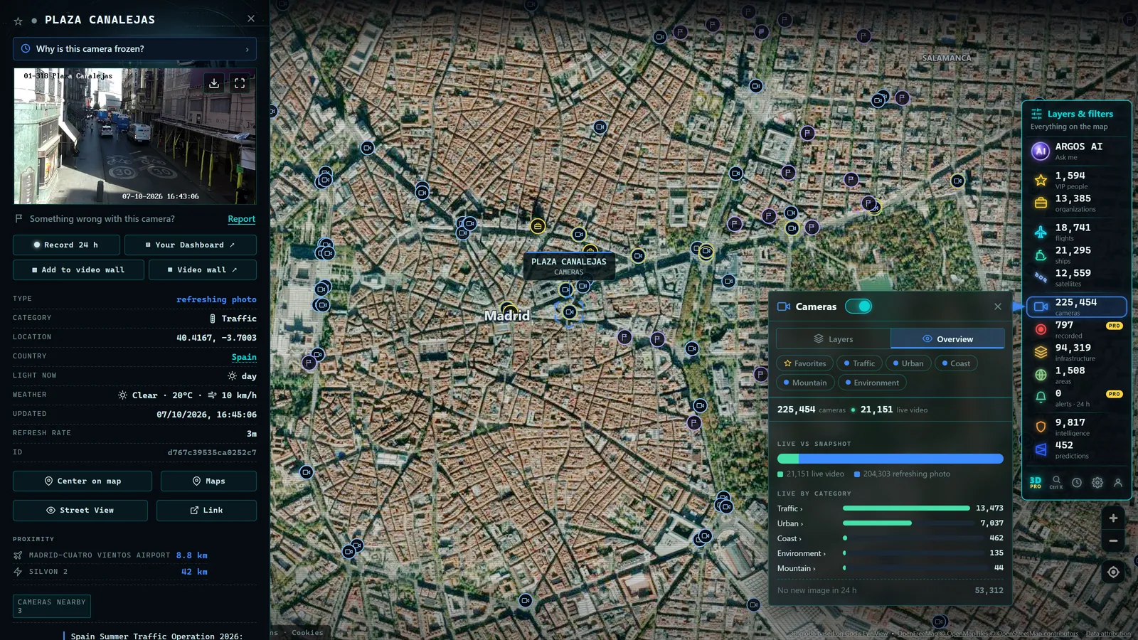
How do you get started with OSINT? With a browser, one concrete question and the habit of verifying before believing, no expensive software, no technical background required. What you do need is a method, and that is exactly what this guide delivers.
OSINT (open-source intelligence) is having a golden moment: fact-checkers, journalists and hobbyists publicly solve mysteries that used to be the exclusive territory of agencies. And like any trending field, it attracts many beginners who don't know where to start and end up drowning in endless tool lists.
This guide goes in the opposite direction: few tools, plenty of method. We'll look at what OSINT really is, the mindset that sustains it, which exercises you can do starting today without legal or ethical risk, a first-weeks practice plan laid out in a table, and the rookie mistakes to dodge from day one.
What OSINT is (and what it is not)
OSINT means extracting useful knowledge from publicly accessible sources: images, maps, webcams, flight and ship data, official documents, media. If you need a solid conceptual foundation, start with our pillar what OSINT is, explained; here an operational definition will do: looking at what is in plain sight, but looking at it better.
Just as important is what OSINT is not. It is not hacking: accessing other people's systems or accounts is out, legally and ethically. It is not spying on people: serious OSINT investigates facts, places and phenomena, it does not chase individuals. And it is not magic: behind every spectacular geolocation there are hours of methodical, boring work nobody sees.
The mindset: verify before you collect
The founding mistake of almost every beginner is confusing accumulating with investigating. They save hundreds of links, install dozens of extensions and never finish an analysis. The right mindset is the reverse: one concrete question, few sources, obsessive verification.
In practice, that means three habits:
- Work with hypotheses. "I think this photo is from such-and-such city" is a hypothesis to try to knock down, not to defend. Actively look for what contradicts it.
- Demand two independent sources. A fact confirmed by a single source is a rumor with good manners. Two sources that don't copy each other are something else entirely.
- Document the process. Note what you found, where and when. A conclusion you cannot reconstruct step by step is worth little, to you or anyone.
Whoever internalizes this progresses more in a month than someone who spends a year collecting tools.
Safe and legal first exercises
The best way to train is with exercises whose answer you already know or can check, and which involve no third parties. Three classics:
- Geolocate one of your own photos. Pick a photo from a past trip and try to locate it using only what is visible: signs, architecture, vegetation, shadows. Since you know the answer, you can grade yourself. Our guide on how to geolocate a photo gives you the full method.
- Follow a flight from start to finish. Pick a commercial flight on a live map, watch its route, altitude and destination, and compare what you see with the flight's public information. A perfect exercise for learning to read real-time data.
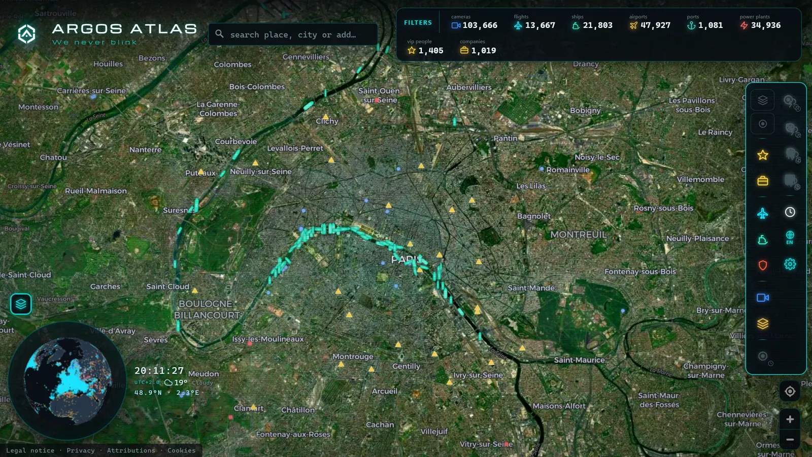
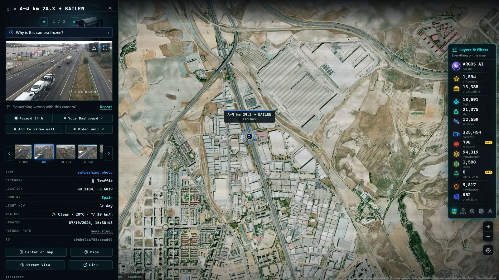
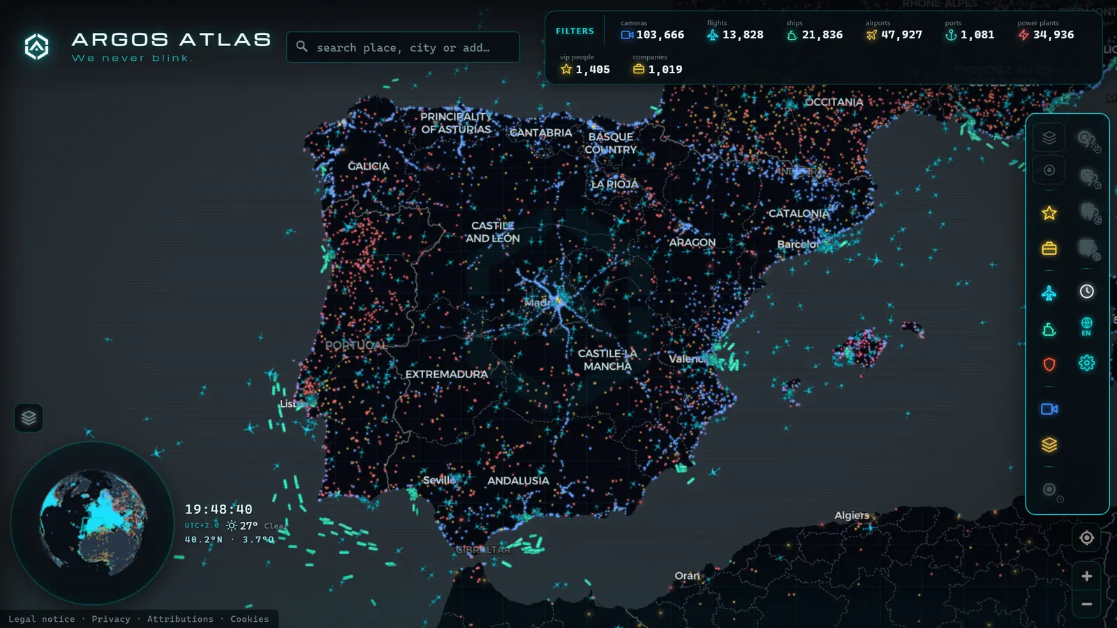
- Compare a webcam with the map. Open a public city camera on the live map of ARGOS ATLAS (there are more than 200,000 live cameras) and try to pinpoint on the map the exact spot and the direction it faces, using buildings and streets as references. Remember that these public cameras show wide shots and do not allow identifying people: you are working with urban landscape, not individuals.
Once these three feel comfortable, the natural next step is verifying dubious content: how to verify a viral video walks the process through a typical case.
From the ARGOS ATLAS channel.
Free tools to get started
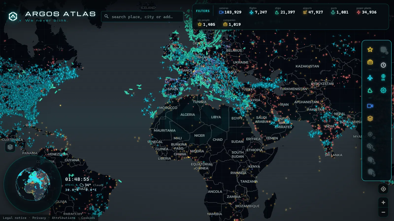
The starter toolbox is shorter than it seems: a search engine used with advanced operators, a map with satellite imagery and street-level views, reverse image search, and a live map that gathers layers of the physical world (flights, ships, cameras) like the one at ARGOS ATLAS. That covers the vast majority of beginner exercises.
From there, add tools only when a specific case demands it, not for the sake of hoarding. We keep an annotated selection in free OSINT tools, organized by task type, that works like a pantry: you visit it when there is a need, you don't devour it whole on day one.
Your first weeks: a step-by-step practice plan
So the method doesn't stay theoretical, here are the exercises from this guide ordered from easiest to hardest. Every step uses only free tools and materials that involve no third parties:
| Step | What to practice | Free tool |
|---|---|---|
| 1 | Geolocate one of your own travel photos using signs, architecture and shadows | Map with satellite imagery and street-level views + reverse image search |
| 2 | Follow a commercial flight from start to finish and compare it with its public info | Live flight map |
| 3 | Find a public webcam on the map and work out which way it faces | ARGOS ATLAS camera map, with 200,000+ live cameras |
| 4 | Verify a dubious viral video, calmly and without publishing anything | Reverse image search + satellite map |
| 5 | Document every exercise: what you found, where and when | A plain notes file with dates and links |
There is no prize for rushing: repeat each step until it feels natural before moving to the next. Steps 2 and 3 you can do today on the live map, with nothing to install. And once you complete the plan, run it again with fresh material, another photo, another flight, another camera in another city: the second lap always reveals how much sharper your eye has become.
Ethics and legality: the lines you never cross
This is not the boring section at the end: it is what separates an analyst from a snoop. The essential rules fit in one paragraph. Work only with public sources. Do not investigate private individuals or compile their data: not partners, not neighbors, not coworkers. Do not publish information that could single out individuals, even if it is technically accessible. And when in doubt, do not publish: the harm of a wrong identification is real and no correction undoes it.
The full framework, with the legal nuances of working with open sources, is developed in OSINT, legality and ethics. Read it before your first serious investigation: it is the difference between practicing a discipline and causing harm.
Rookie mistakes (and how to avoid them)
To wrap up, the most common stumbles we see repeated:
- Collecting tools instead of finishing cases. Progress is measured in completed exercises, not saved bookmarks.
- Falling in love with your first hypothesis. If you only look for confirmation, you will find it, and it will be wrong. Look for what contradicts you.
- Publishing before verifying. Sharing a half-checked finding in a hurry is the fastest way to lose credibility.
- Ignoring ethics "because it's public". That a piece of data is accessible does not mean spreading it is harmless.
- Trying to rush. The analysts you admire have spent years doing boring exercises. There is no shortcut.
Start today with one small exercise, document it and grade yourself. Within a few weeks you will notice you look at every photo, map or video with different eyes: that trained gaze is, precisely, OSINT.
Frequently asked questions
Do I need technical skills to get started with OSINT?
No. Beginner OSINT is practiced with a browser and a method: observe, form hypotheses and verify. Technical skills help later on, but what makes the difference at the start is the discipline of checking every fact before accepting it.
Is it legal to practice OSINT?
Yes, as long as you work with public sources and respect people's privacy. Consulting open information is legal; accessing other people's systems, harassing, or compiling personal data about individuals is not. The line is drawn by law and ethics, not by the tool.
Which exercise should I start with?
Something you can self-correct: geolocating one of your own vacation photos, following a commercial flight from start to finish, or comparing a public webcam with the map. These are safe, legal exercises with a known answer, ideal for training the method.
How many tools do I need at the beginning?
Very few. A search engine, a map with satellite imagery, reverse image search and a live map of flights, ships and cameras cover most beginner exercises. Mastering a few tools beats collecting hundreds without criteria.
Where can I practice OSINT for free on a live map?
On the ARGOS ATLAS map: it gathers 200,000+ public cameras, flights and ships in real time, runs in your browser and requires no sign-up. It is an ideal practice ground for the exercises in this guide: locating cameras, following flights and comparing what you see against the map.
- OSINT Examples: 8 Techniques You Can Try Today
- Ukraine War Map, Live: Front Lines and Black Sea Ships
- Area 51 Live Map: What Open Sources Really Show Over Groom Lake
- Kyiv Live Map: Closed Airspace, Live Grid, 90 Days of Events
- Nigeria Live Map: 90 Days of Conflict Data, and Its Limits
- Albania Live Map: What 90 Days of Open Data Really Show