Blog · OSINT & verification
Pakistan Airspace Map Live: Flights, Ships, No Cameras Yet
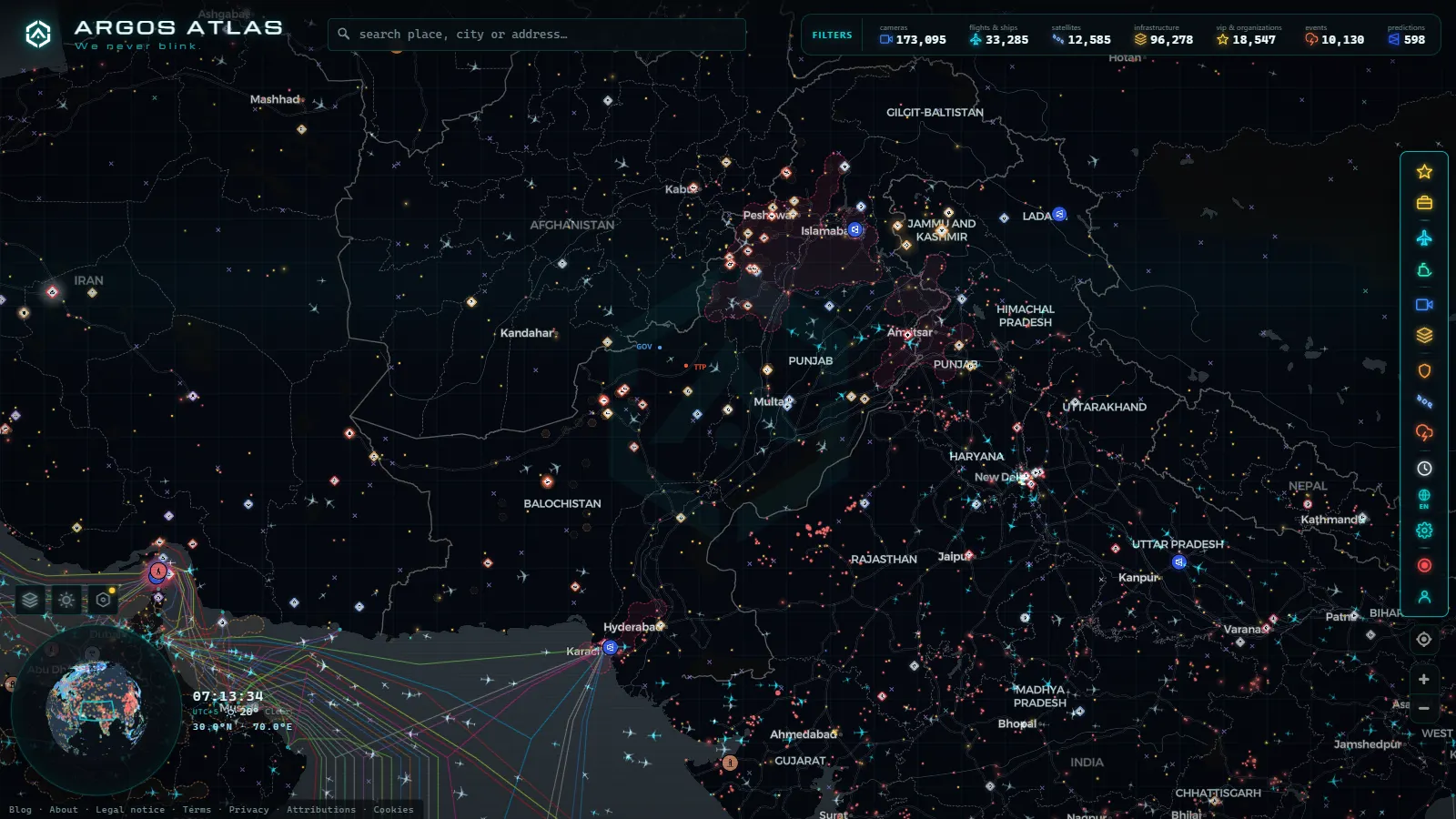
Open the Pakistan live map and three layers work over the country: aircraft along the Karachi to Lahore to Islamabad corridor, AIS ship traffic in the approaches to Karachi Port and Port Qasim, and the conflict and incident events logged over the last 90 days. It is free, there is no sign-up and nothing gets installed.
The layer most people expect is the one that is missing. There are no public traffic cameras in Pakistan, and no amount of zooming will produce one. That gap is the point of this page: plenty of live map sites paint a country in colour and let you assume there is a camera behind every dot. What Pakistan does have is arguably more useful for checking a claim, because transponder tracks, vessel positions and a dated event log can all be pinned to a moment in time. Open the live map over Pakistan and the country loads with the flight layer already on.
The essentials, in 20 seconds
- Traffic cameras: none in Pakistan, out of 173,095 in the catalogue worldwide (count as of September 2026).
- Flights: 12,448 aircraft tracked worldwide at a typical moment, 329 of them military and 4,170 shown on an estimated position.
- Ships: 20,996 vessels broadcasting AIS right now and 41,038 tracked across the recent window, Karachi's anchorage among them.
- Conflict: 2,041 geolocated events worldwide on a rolling 90-day window, 1,134 of them carrying video.
- Base layers: 47,927 airfields, 1,081 ports and 34,936 power assets, which is where Jinnah International, Port Qasim and Gwadar stay visible even when nothing is moving.

What the Pakistan live map shows in the air
Aviation is the densest live layer over the country. The spine is the domestic triangle flown all day by Pakistan International Airlines, AirBlue, SereneAir, Airsial and Fly Jinnah, with the heaviest banks in the early morning and late evening local time (UTC+5). On top of that sits traffic that never lands: Gulf carriers shuttling between Dubai, Doha, Sharjah and South Asia, plus long-haul between Europe and Southeast Asia crossing the Karachi and Lahore flight information regions.
Coverage comes from ADS-B receivers on the ground, so it is uneven in a way worth knowing about. The corridor between the three big cities is well served because receivers follow population. Interior Balochistan and the high ground in the north are thinner, and an aircraft crossing them can drift onto an estimated position until it is heard again. If a track fades over the Makran coast, that is a receiver gap and not a disappearance, which is exactly the sort of detail that gets misread in a screenshot.
The airports that anchor the corridor
Jinnah International in Karachi is the busiest gateway and the main cargo point. Allama Iqbal International in Lahore carries the Punjab traffic and a heavy Gulf labour route. Islamabad International, out towards Fateh Jang, is the newest of the three and the one that sees most government and diplomatic movement. Behind them sit Bacha Khan in Peshawar, Quetta, Multan, Sialkot (unusual in having been built privately) and Faisalabad, plus Gwadar, which has a runway far larger than its schedule.
All of them sit in the base layer along with the rest of the 47,927 airfields worldwide, so they stay on screen when there is no aircraft near them. That is the useful part: a claim about a flight into Sialkot can be checked against the airport's real position and the tracks that actually touched it, rather than against a caption.
The points mentioned
From the ARGOS ATLAS channel.
Ships off Karachi, Port Qasim and Gwadar
The maritime picture is compact because almost everything funnels into a short stretch of coast. Karachi Port handles containers and general cargo on the city side. Port Qasim, up the creek to the east, is the industrial one: oil, coal, LNG and the bulk berths. Gwadar, far west in Balochistan, is the deep-water project that appears on every map and takes very few calls.
What you see is AIS: position, speed and heading, plus the name, destination and draught the crew typed in. The anchorage waiting areas are the interesting part, because a growing cluster of bulkers sitting still is a congestion signal well before it becomes a news story. For why a vessel can be visible a hundred kilometres offshore and then vanish, the explainer on how AIS locates ships in real time covers the receiver side.
Conflict events recorded across Pakistan
The event layer is a log, not a live feed. It holds 2,041 geolocated conflict and incident events worldwide on a rolling 90-day window, 1,134 of them with video attached, and the Pakistani share concentrates where you would expect: Khyber Pakhtunkhwa, the districts along the Afghan border, Balochistan and the Line of Control in Kashmir. Urban incidents in Karachi and Quetta appear too, at a lower rate.
Read it for what it is. An entry means a reported event was geolocated to a point and given a date, not that a casualty figure was verified. Density tracks reporting density as much as it tracks violence, so a district can look quiet because nobody is filing from it. The same caution applies to every country on the map, and the write-up on what the map shows over Iran and what it does not makes the point along a different border.
What ARGOS sees right now
Why the Pakistan live map has no traffic cameras
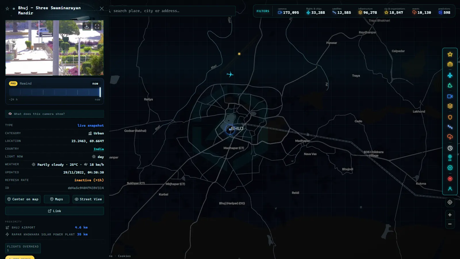
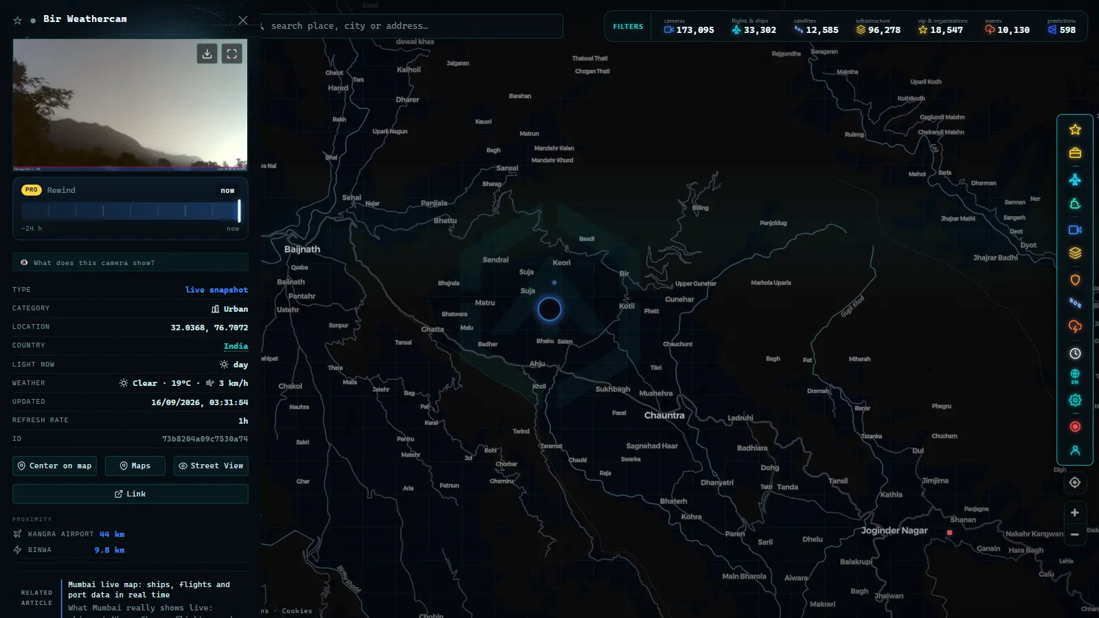
Pakistan is not short of cameras. The Punjab Safe Cities Authority runs a large network in Lahore, the National Highways Authority watches the motorways, and Karachi has several municipal and provincial systems. None of them publish an open feed, and that is the whole difference: this map ingests only streams an operator has chosen to make public, which is why Spain contributes 10,848 cameras and the London area 1,459 (count as of September 2026) while Pakistan contributes none.
It is worth being blunt about what that means for you. Any site promising live Lahore or Karachi traffic cams is usually serving a looping recording, a hotel webcam pointed at a forecourt, or a feed from somewhere else entirely. Checking a camera's claimed location against what the frame actually contains is a standard first step, and the guide on verifying a viral video applies to a supposed live camera exactly as it does to a clip.
Layer by layer over Pakistan
| Layer | What you get over Pakistan | What to do with it |
|---|---|---|
| Flights | Dense along the Karachi to Islamabad corridor, thin over interior Balochistan | Click one aircraft for altitude, heading and its track so far |
| Military aircraft | Part of the 329 tracked worldwide, and only those squawking openly | Treat absence as normal, never as evidence that nothing flew |
| Ships | AIS positions and the anchorage clusters off Karachi and Port Qasim | Count the vessels sitting still to spot congestion early |
| Ports | Karachi, Qasim and Gwadar among the 1,081 mapped worldwide | Use them as fixed reference points when checking a photo |
| Airports | The three big ones plus the regionals, from 47,927 worldwide | Confirm a claimed flight had somewhere to land |
| Power assets | Plants and substations from the 34,936 in the layer | Cross-check an outage claim against what is actually there |
| Traffic cameras | Nothing at all: no Pakistani operator publishes a feed | Fall back on flights, ships or a dated event |
How to read the Pakistan live map in two minutes
- Search for Pakistan and let the country frame settle before zooming in.
- Turn off every layer except the one you came for. Three at once over Karachi is unreadable.
- Click a single aircraft instead of scanning the cluster: the panel gives altitude, heading and the route flown so far.
- For shipping, zoom to the water east of Karachi and count the vessels that are not moving. Stationary is the signal.
- Open the event layer last, and widen it to the full 90 days before deciding a district is quiet.
Every view is a deep link, so the URL in your address bar after step three is the one to paste into a thread, and none of it needs an account.
What you won't see
- No traffic cameras, anywhere in Pakistan: not in Lahore, not on the motorways, not in Karachi.
- No video. Camera layers elsewhere on the map serve refreshed still frames rather than streams, and many operator feeds go dark at night.
- No identification of people or number plates. The map does not do it, and the imagery it does carry is not resolved for it.
- No hidden aircraft. Transponders that are switched off, blocked or enrolled in a privacy programme are simply absent.
- No guarantee on AIS text. Name, destination and draught are typed by the crew, and can be stale, wrong or deliberately misleading.
- No deep history. The event layer stops at 90 days, and older entries drop off rather than being archived.
- No instant conflict feed. Events land after they are reported and geolocated, which can take hours or days.
Where to go next
If this is your first read of a live intelligence map, Area 51 and what open sources really show applies the same flight-layer honesty to a much smaller patch of sky. When you are ready to test any of this against a real question, open Pakistan on the live map, switch on one layer at a time and give it two minutes.
Frequently asked questions
Is the Pakistan live map free, live and usable without an account?
Yes. It opens in a browser, there is no sign-up, no app and no trial. Flights and ships refresh continuously while the tab is open, and the conflict layer covers a rolling 90-day window. Every view is a deep link, so you can share the exact position and layer you are looking at without anyone needing to register.
Can I watch live traffic cameras in Karachi or Lahore?
No. No Pakistani operator publishes an open camera feed, so there are zero Pakistani cameras in a catalogue of 173,095 worldwide (count as of September 2026). Sites advertising live Lahore or Karachi traffic cams are usually showing a looping recording, a hotel webcam, or a feed from another country entirely. Use the flight and ship layers instead.
Which flights actually appear over Pakistan?
Any aircraft broadcasting ADS-B within range of a ground receiver. In practice that means the domestic corridor between Karachi, Lahore and Islamabad, Gulf routes to and from Dubai, Doha and Sharjah, and long-haul crossing the Karachi and Lahore flight information regions. Coverage thins over interior Balochistan and high terrain, where positions can switch to estimated.
Can I follow ships arriving at Karachi Port and Port Qasim?
Yes, through AIS. Vessels broadcast position, speed and heading, plus a name and destination typed by the crew. The anchorage east of Karachi is the part worth watching, because a growing cluster of stationary bulkers signals congestion. Bear in mind that AIS text is self-reported and a transmitter can be switched off.
How far back does the conflict event layer go?
Ninety days, on a rolling window. There are 2,041 geolocated events worldwide inside it, 1,134 with video attached, and Pakistan's share sits mainly in Khyber Pakhtunkhwa, Balochistan and along the Line of Control. Older entries drop off the map and cannot be searched from it, so treat the layer as a recent log rather than an archive.
- Chernyakhovsk Air Base and Kaliningrad: What You Can Track
- Israel live map tracking: flights, ships and conflict events
- South America Air Bases Live Map: What You Can Really See
- Kerala live map: 4 international airports, ships and flights
- Turkey live map: Bosphorus ships, flights and road cameras
- ARGOS ATLAS vs God's Eye View: No Install, No API Keys