Blog · OSINT & verification
Kerala live map: 4 international airports, ships and flights
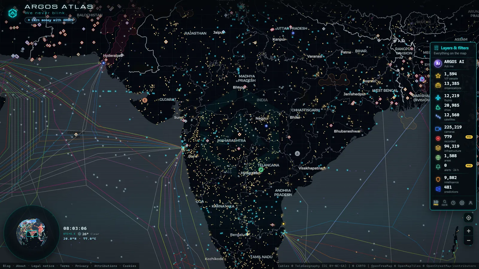
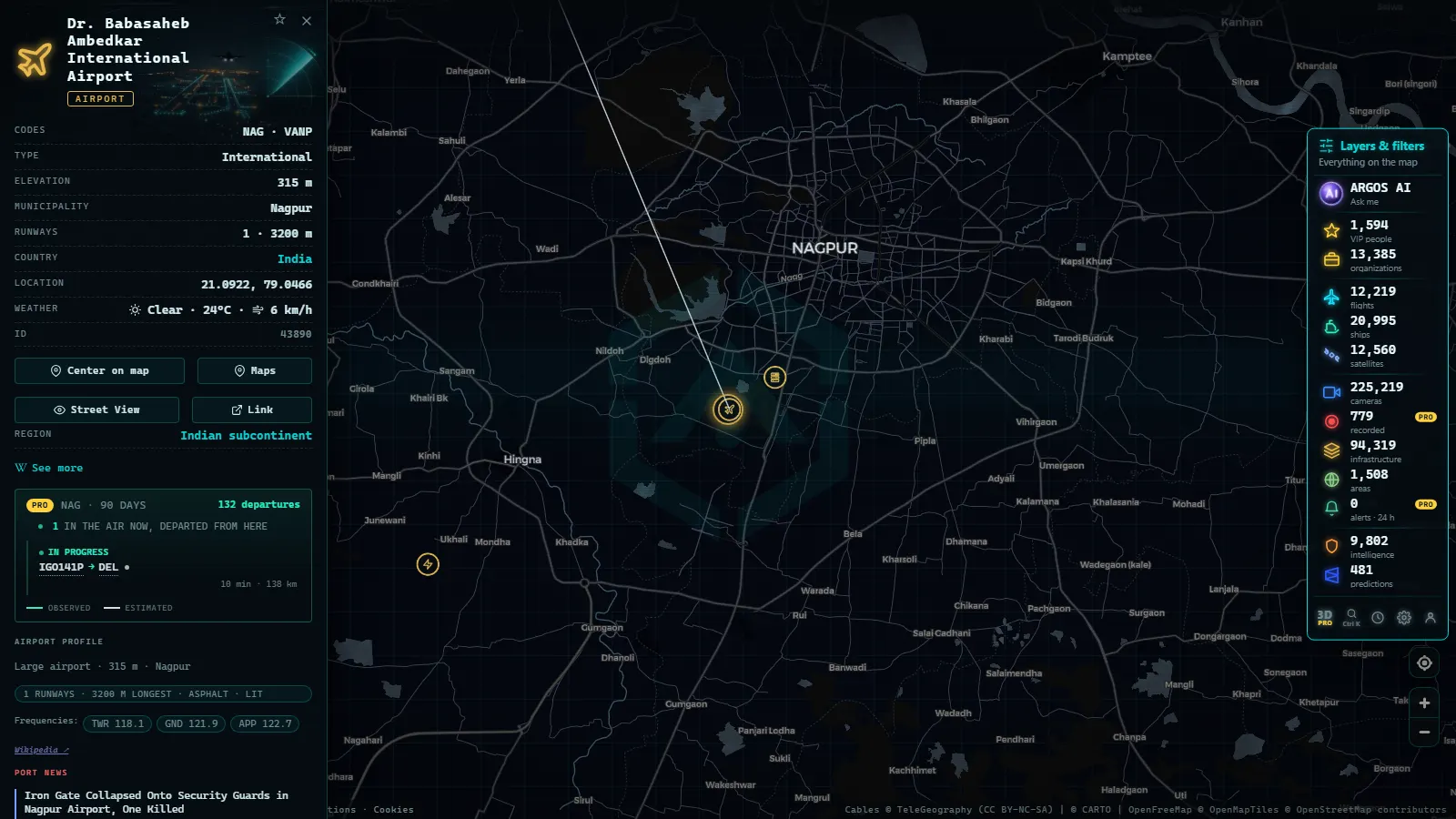
Kerala shows up on a live map as air and water, not as street cameras. Pan to the state and you get its four international airports (Thiruvananthapuram, Kochi, Kozhikode and Kannur), aircraft crossing the Lakshadweep Sea on the Gulf corridor, and ships working the Malabar coast between Vizhinjam and Beypore. It is free, there is no account to create and nothing to install.
The honest part up front: there are no public traffic cameras from Kerala in the catalogue. The state's road authorities do not publish open feeds, so everything below is built from ADS-B, AIS and the fixed infrastructure layer. The quickest way in is the live world map, zoomed to the coast between Kochi and Kovalam.
The essentials, in 20 seconds
- Four international airports in one state: Thiruvananthapuram (TRV), Kochi (COK), Kozhikode (CCJ) and Kannur (CNN), more than any other Indian state manages.
- 12,475 flights are in the air on the map at a typical moment worldwide, and the share crossing Kerala is dominated by the Gulf corridor rather than by domestic routes.
- 21,083 ships are broadcasting a live AIS position, and the Kerala cluster sits between Cochin Port and the deepwater terminal at Vizhinjam.
- Zero traffic cameras in Kerala (count as of October 2026), against 11,633 catalogued in Spain: that is a gap in what the authorities publish, not a setting.
- Night is the busy shift: the Gulf arrival bank lands in the small hours, so the Kerala sky looks emptiest around midday local time.

What the Kerala live map shows the moment you open it
Three layers do the work. Flights carry callsign, altitude and heading from ADS-B. Ships carry name, type, speed and course from AIS. Airports and ports are fixed cards that stay put whether or not anything is moving near them. Kerala is unusual for a state-sized view because all three are busy at once.
The scale behind it is global: 47,927 airports and airstrips catalogued, 1,081 ports, and that steady figure of flights in the air. Kerala's slice is small in absolute terms and dense in local terms.
There is also an open-source event layer holding 90 days of geolocated incidents. Kerala almost never appears in it, and the absence is information: this is not a conflict theatre, so the map reads the state as infrastructure and traffic.
The four international airports, one by one
Cochin International (COK), at Nedumbassery, is the busiest of the four and the steadiest read on whether Kerala aviation is running normally. It carries a large share of the state's Gulf flying, and its solar farm makes it unusual among big Indian fields.
Thiruvananthapuram (TRV) is the oldest and sits almost on the shoreline. Its approaches run over the water, so you watch tracks come in low over the Arabian Sea before turning onto final. It also handles the short hops to Malé and Colombo.
Kozhikode (CCJ), locally Karipur, is built on a flattened hilltop. That tabletop runway is why heavy wide-body operations there have been restricted, and why the types you see are narrow-bodies almost without exception.
Kannur (CNN) is the newest, opened in 2018, with the longest runway of the four and the thinnest schedule. An empty apron at Kannur is the normal state, not an outage, and misreading that is the commonest mistake here. For the national picture, the five biggest airports in India on the live map covers the hubs further north.
From the ARGOS ATLAS channel.
Flights over the Lakshadweep Sea
The water west of the state is the Lakshadweep Sea, and most of what crosses it is Gulf traffic. Routes to Dubai, Abu Dhabi, Sharjah, Doha, Muscat and Kuwait run day and night, and the arrival bank lands between roughly 02:00 and 05:00 Indian Standard Time. Open the map at lunchtime in Europe and you are looking at Kerala's quiet shift.
South of that, tracks to Malé and Colombo peel away from the coast. The long Europe to Southeast Asia overflights generally pass further north, so do not expect the transcontinental ribbon you would see off Gujarat.
One seasonal effect is worth knowing. The southwest monsoon reaches Kerala before anywhere else in India, and in June the tracks stop being straight lines: holding off Kochi and diversions to Bengaluru or Chennai show up clearly. Live flights over India explains the carriers behind the callsigns.
Ships off the Malabar coast
21,083 ships are showing a live position, out of 39,421 seen across the recent tracking window, and what you get per vessel is name, MMSI, type, speed and course, broadcast by the ship itself.
That last point matters more here than almost anywhere. AIS is self-reported and picked up opportunistically, so a vessel that drops off the screen for an hour off Alappuzha has almost certainly fallen out of receiver range rather than anything worse. How AIS ship tracking works is worth ten minutes before you read anything into a gap.
Kerala's traditional fishing fleet is the other blind spot, and it is a large one. The small craft working out of Beypore, Munambam and Vizhinjam mostly carry no transponder at all, so water that looks empty at dawn can be full of boats.
Vizhinjam, Kochi and the smaller ports
Vizhinjam, just south of Thiruvananthapuram, is the one to watch. It is a deepwater transhipment terminal placed deliberately close to the east to west shipping lane that runs past the southern tip of India, which means the container ships calling there are the kind that previously had no reason to stop in Kerala.
Cochin Port, on Willingdon Island, is the older workhorse: the container terminal at Vallarpadam, the bunkering traffic, the naval basin next door. On the map it reads as constant low-level churn of tugs, barges and coasters rather than a handful of big arrivals.
North of that the scale drops fast. Beypore, Azhikkal and Kollam are minor ports and stay quiet for long stretches on an AIS view. If you arrived from Mumbai's two ports and two airports on the map, expect a thinner picture: Kerala's maritime weight is concentrated at the two southern anchors.
The places in this guide
Kerala live map: what to check and when
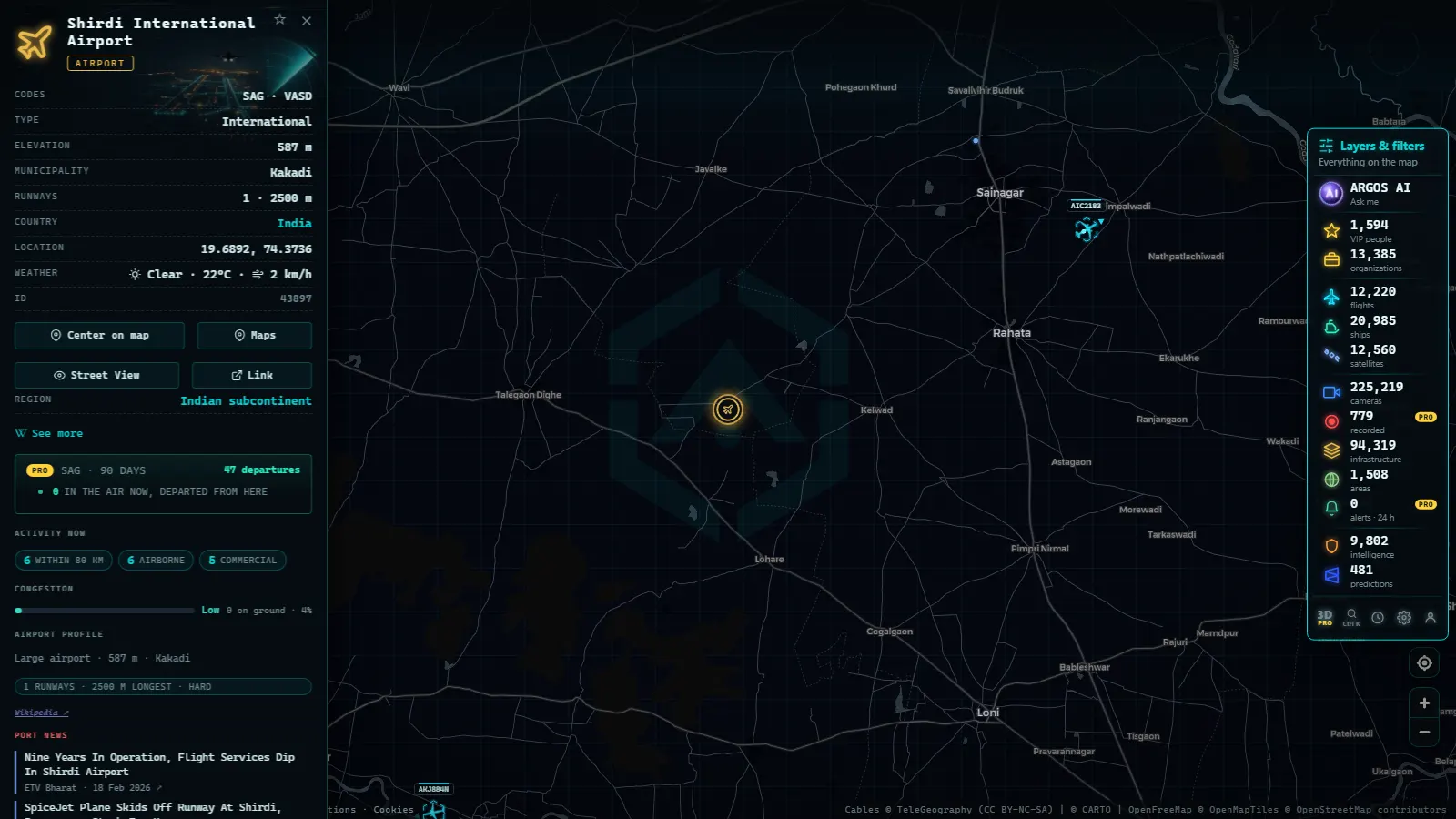
Seven places carry almost the whole state view. The column on the right is the one that matters: it tells you when each is worth opening and what a normal reading looks like.
| Place | What it is | Layer | When to look, and what it tells you |
|---|---|---|---|
| Kochi (COK) | Busiest airport in the state | Flights | Any hour; the steadiest signal that Kerala aviation is running normally |
| Kozhikode (CCJ) | Tabletop runway at Karipur | Flights | Night arrivals; narrow-bodies only, so an odd type deserves a second look |
| Thiruvananthapuram (TRV) | Coastal approaches, Malé and Colombo hops | Flights | Early morning; watch tracks turn in low over the water |
| Kannur (CNN) | Newest field, thin schedule | Flights | Before assuming an outage; an empty apron here is the normal state |
| Vizhinjam | Deepwater transhipment terminal | Ships, ports | When a big box ship appears off the southern tip; it is probably calling, not passing |
| Cochin Port | Container terminal and bunkering | Ships, ports | Daytime; constant small-vessel churn is the healthy reading |
| Lakshadweep Sea | Gulf and Maldives corridor | Flights | 02:00 to 05:00 local; the arrival bank is when the corridor fills |
Verifying a Kerala photo or video with the live map
This is where a state-level view earns its keep. If a clip claims to show an aircraft over Kochi at a given moment, the flight layer gives you a list of what was actually there. If a photo shows a ship off Kovalam, the AIS track gives you a name to check against the hull in the frame. Neither proves a clip genuine on its own, but both kill a fake cheaply.
The sequence is the usual one: establish what the image claims, check sky and water against the map for that moment, then check ground detail against satellite imagery. How to verify a viral video walks through the full method.
Two local traps. A monsoon sky looks like dusk at three in the afternoon, so never date a clip by brightness in June or July. And the Gulf schedule means an airport busy at 03:00 is completely normal here, however implausible that looks from Europe.
What you won't see
- No traffic cameras in Kerala (count as of October 2026), against 11,633 catalogued in Spain and 2,140 around London. It is a publishing gap at source.
- No live video anywhere on the map. Camera layers elsewhere are still frames refreshed on a cycle, never a stream, and nothing is recorded or stored.
- No people and no number plates. The frames are coarse by design, and identifying individuals is outside what these sources exist for.
- Most boats off Kerala. Traditional fishing craft carry no AIS, so the inshore water is far busier than the screen suggests.
- Military and naval movement. Southern Naval Command is based at Kochi and does not broadcast; only 288 military aircraft are visible worldwide at a typical moment.
- Dependable positions over open water. 4,085 tracked flights carry estimated rather than received positions, and that share rises away from land.
- The backwaters, Munnar and the tea country. No open webcams, no coverage, nothing to show.
Start here on the Kerala live map
Three moves, in order. First, zoom to the Malabar coast and let the flight layer settle, because you want the shape of the traffic before you click anything. Second, open Cochin International and Vizhinjam, the two anchors; everything else in the state is context around them. Third, pick one aircraft and one ship and follow them for five minutes, since a single track teaches you more about what the data can and cannot do than an hour of panning.
Do that at 03:00 Indian Standard Time and you will see Kerala at its busiest, with the Gulf bank arriving into COK and CCJ and night coasters moving off Kochi. Do it at midday and you will see an almost empty sky, and conclude, wrongly, that nothing happens here.
What ARGOS sees right now
Frequently asked questions
Is the Kerala live map free, and do I need an account?
Yes, it is free and there is no sign-up. You open the map, pan to the Malabar coast and the flight, ship, airport and port layers load straight away. Nothing is installed and no card is asked for, whether you arrive from a phone in Kochi or a desktop anywhere else.
Are there live traffic cameras in Kerala?
No. There are no public traffic cameras from Kerala in the catalogue (count as of October 2026). Kerala's road operators do not publish open camera feeds the way Spain's DGT or Transport for London do, so the state view gives you aircraft, ships and fixed infrastructure instead of street-level images.
Which Kerala airports can I follow in real time?
All four international ones: Thiruvananthapuram (TRV), Kochi (COK), Kozhikode (CCJ) and Kannur (CNN). Each appears as a card with the traffic around it taken from ADS-B. Kerala is the only Indian state with four international airports, which is why a single state view carries this much air movement.
Why do ships disappear off the Malabar coast?
Because AIS is received, not guaranteed. Shore receivers have limited range, satellite passes leave gaps, and a transponder can be switched off. Of the 21,083 ships showing a live position, coastal and open-water tracks thin out first, so a vessel that vanishes for an hour is usually a reception gap.
What flies over the Lakshadweep Sea?
Mostly Gulf traffic. Routes between Kerala and Dubai, Abu Dhabi, Sharjah, Doha and Muscat cross that water every night, along with the shorter hops to Malé and Colombo. Over open sea coverage thins, so some of those tracks carry estimated positions rather than live ADS-B returns.
- Turkey live map: Bosphorus ships, flights and road cameras
- ARGOS ATLAS vs God's Eye View: No Install, No API Keys
- God's Eye View Alternatives That Run in Your Browser
- How to Install God's Eye View: Requirements, Keys and Steps
- God's Eye View vs World Monitor: Differences and Which to Pick
- ARGOS ATLAS vs World Monitor: Live Cameras, Ships and Events