Blog · OSINT & verification
Chernyakhovsk Air Base and Kaliningrad: What You Can Track
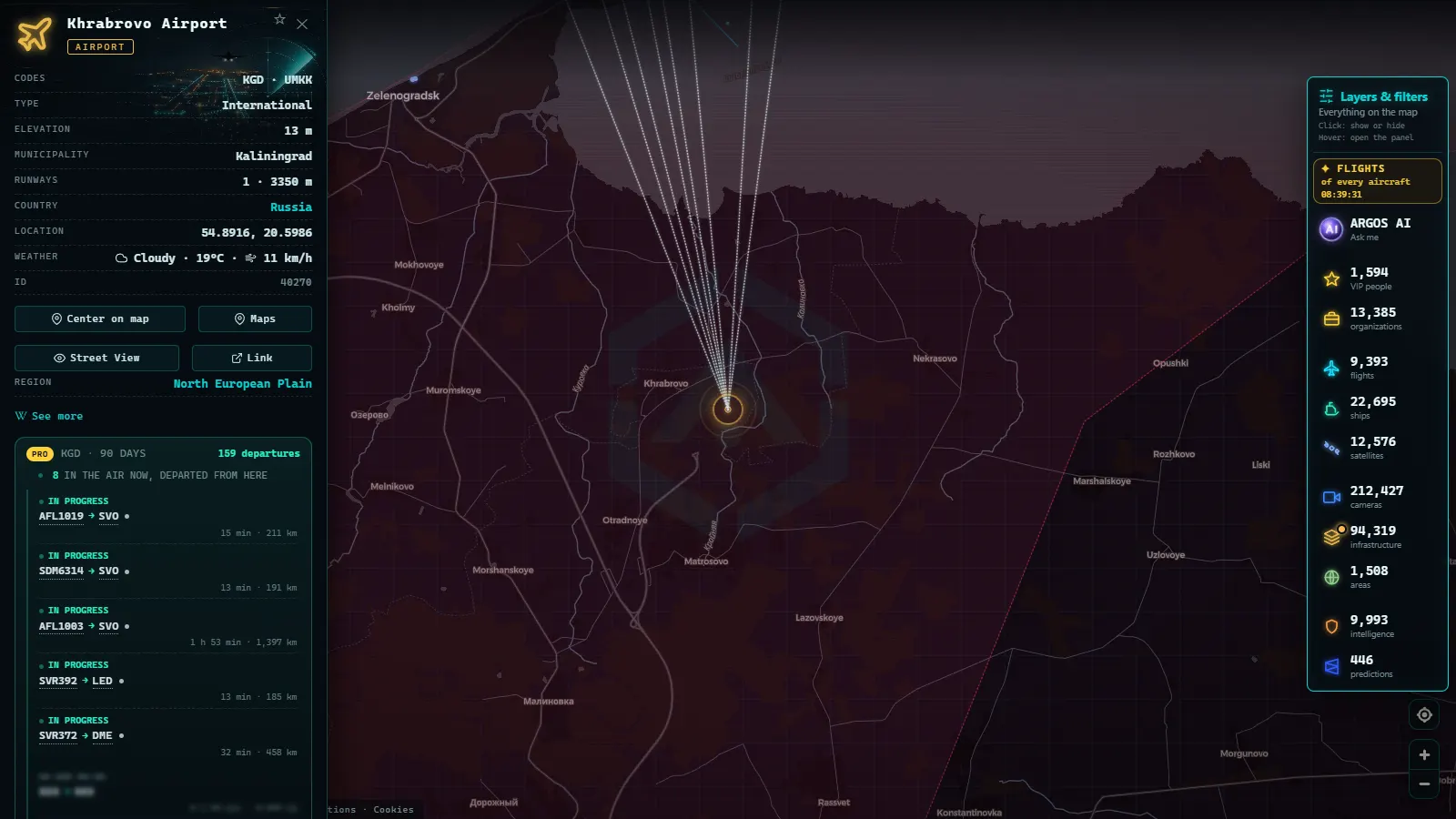
You can look up Chernyakhovsk air base on a live map, see the airfield and the town beside it, and follow the road traffic, shipping and airliners moving around Kaliningrad. What you cannot do, on any free tracker, is watch what the Russian Baltic Fleet flies out of it. That limit goes first because everything else on this page depends on it. The enclave is free to explore on the ARGOS live map with no registration, and the closest live cameras sit on the Polish side of the border.
Chernyakhovsk (Черняховск, the former Insterburg) lies roughly halfway between Kaliningrad city and the Lithuanian frontier, one of a small cluster of airfields packed into a territory smaller than many European regions. What follows goes field by field: what each one gives an open source researcher, why almost nothing military reaches a civil tracker, and which layers are worth opening instead of the flight one.
The essentials, in 20 seconds
- Chernyakhovsk is a Baltic Fleet naval aviation airfield in the east of the oblast: visible as a place on the map, silent on every flight tracker.
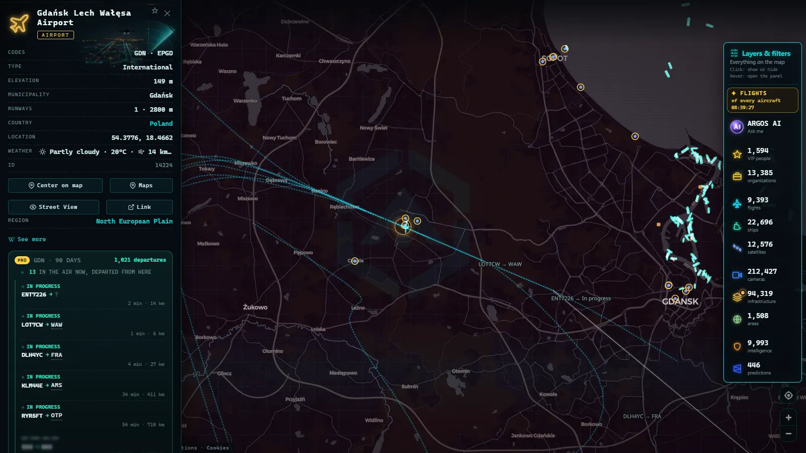
- Chkalovsk, north-west of Kaliningrad city, is the enclave's other main military airfield, and Khrabrovo (KGD) is the civil airport with the only scheduled traffic.
- 110 military aircraft were broadcasting their position worldwide at the last count, and Russian combat aircraft based in the enclave are not among them: state aircraft are not obliged to transmit ADS-B.
- No public webcam looks at a Kaliningrad military airfield. The nearest live views are in Warmian-Masurian and Pomeranian Poland, plus a street camera in Ladushkin, inside the oblast.
- AIS beats ADS-B here: traffic through the Baltiysk strait and the Vistula Lagoon is far more readable than anything in the air.
What a live map shows of Chernyakhovsk air base
Open Chernyakhovsk on the map and what you get is geography, not activity: the position of the field, the town next to it, the road network that feeds it, and its distance to the Lithuanian and Polish borders. That framing matters more than it sounds. Most questions people bring to this base (is something moving, has traffic gone up, are aircraft dispersing) are activity questions, and activity is exactly what the open layers withhold.
What geography does answer is worth having. How close the field sits to the Suwałki corridor. How the enclave's airspace is boxed in by NATO members on both sides. Why a flight between Kaliningrad and mainland Russia has to cross international waters or somebody else's airspace. Measure those distances yourself on the map instead of repeating a figure from a post. The same discipline governs the American case: what open sources really show over Groom Lake is a restricted box and the civil traffic skirting it, never the aircraft inside it.
The Kaliningrad airfields, one by one
| Airfield | Role | What open sources give you | What to look for |
|---|---|---|---|
| Chernyakhovsk | Baltic Fleet naval aviation, east of the oblast | Position, satellite imagery, surrounding roads | Distance to the Lithuanian border and the Suwałki corridor |
| Chkalovsk | The other main naval air base, north-west of the city | Position and imagery, zero transponder traffic | How close it sits to Kaliningrad city and to Baltiysk |
| Khrabrovo (KGD) | Civil airport of the enclave | Scheduled flights that do transmit, when operating | Domestic routes to mainland Russia and their Baltic tracks |
| Donskoye | Secondary coastal field on the Sambia peninsula | Imagery and coastline context only | Shoreline geography, not movements |
Only one row of that table produces anything a tracker can follow, and it is the civil one. Treat the other three as fixed points you can cite, measure and share, which is genuinely useful when a claim says something happened near a base and you need to know whether near means five kilometres or fifty.
From the ARGOS ATLAS channel.
Why Chernyakhovsk air base never shows on a flight tracker
Civil flight tracking rests on two things the Russian military gives you neither of: an aircraft that broadcasts its identity and position, and a ground receiver close enough to hear it. ADS-B is cooperative by design, so a transponder switched off or set to a non-identifying mode simply is not there. Military operators everywhere use that option routinely, and the 110 military aircraft visible at any given moment are overwhelmingly the ones that choose to be seen: transports, tankers and surveillance aircraft in allied airspace.
The second half is coverage. Receivers are hobbyist boxes on private rooftops, and there are none inside the oblast. Even an aircraft that did transmit, low over Chernyakhovsk, would need several receivers in range to be placed at all. The general mechanics are in why some aircraft never appear on online radar, and the military-specific part in what military aircraft can and cannot be seen in the open.
The GPS jamming that leaks into everyone else's data
Kaliningrad is one of the places where satellite navigation interference stops being an abstraction. ARGOS carries 51 GPS interference zones as a layer precisely because the effect shows up in other people's feeds: ships reporting positions on land, tracks that jump tens of kilometres, aircraft losing position for stretches of a Baltic crossing.
This matters for verification more than for spectacle. A vessel that appears to sail across the Vistula Spit is almost certainly a corrupted position, not a discovery, and an aircraft track that vanishes near the enclave is more likely a reception or navigation artefact than a deliberate manoeuvre. The rule is to name the artefact instead of narrating it. When you publish a track from this corner of the Baltic, say which layer it came from, at what time, and that interference in the area is documented and ongoing.
The cameras are on the Polish side of the border
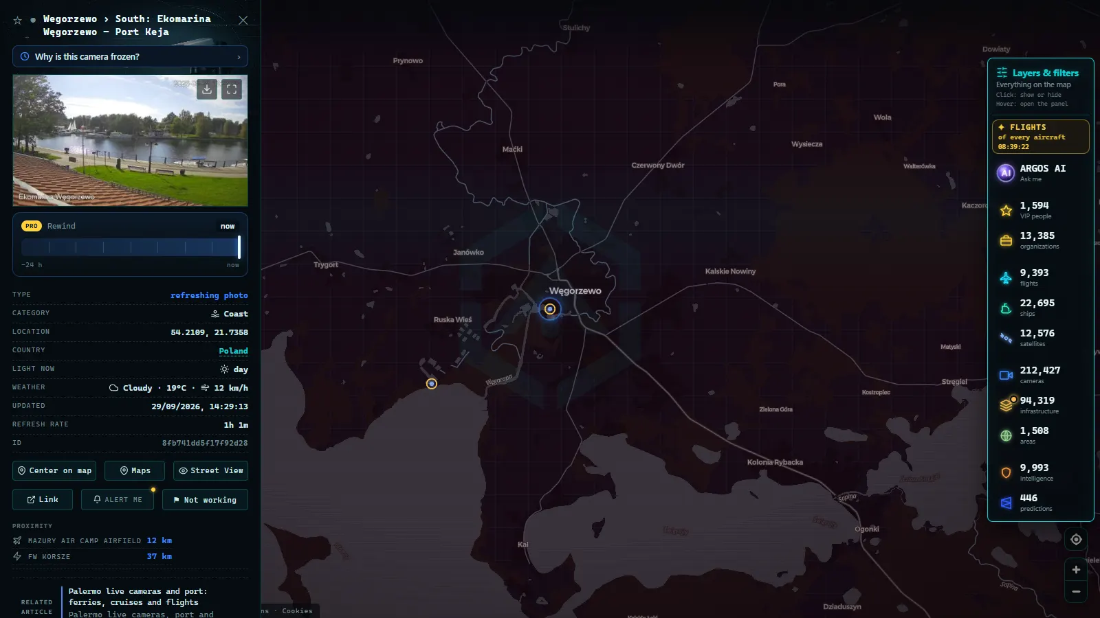
Of the 212,612 cameras in the catalogue (count as of September 2026), not one points at a Kaliningrad military airfield, and that absence is the honest headline. What does exist is a ring of public views around the enclave: the lakes and small towns of Warmian-Masurian (Węgorzewo, Gołdap, Sztynort), the Baltic shoreline of Pomeranian Poland at Krynica Morska on the Vistula Spit, and a single street camera in Ladushkin, inside the oblast itself.
Used well, these are weather, light and road-condition sensors for a region that often appears in reporting without a single image attached. Used badly, they become a claim they cannot support. For the airports on the NATO side of the same corridor, the live map of Poland's airports is the better entry point.
The points in this article
50 km
The sea is more legible than the sky
If the air picture over the enclave is close to empty, the maritime one is dense. AIS is a legal obligation for most commercial shipping, transmitted continuously, and received both from shore and from satellites, which is why 20,883 ships are on the map right now out of 31,542 tracked over the recent window. The Baltiysk strait, the approaches to Kaliningrad's port complex and the Vistula Lagoon all carry traffic that identifies itself.
Two caveats travel with it. Warships and auxiliaries switch AIS off whenever they please, so the naval side of Baltiysk is as absent as the air bases. And the 1,540 sanctioned vessels flagged in the catalogue are a reminder that a transmitted identity is a claim, not a certificate. What you can legitimately read is commercial rhythm: which berths are busy, which routes thin out, what changes week to week.
What ARGOS is showing right now
Working a Chernyakhovsk air base question without guessing
Start from the claim, not from the map. Write down exactly what is being asserted (aircraft moved, a runway was hit, traffic surged), then ask which open layer could possibly carry that evidence. For anything inside the enclave's military airfields, the answer is usually none, and saying so is a finding rather than a failure.
Then build outwards. Civil flights out of Khrabrovo, commercial shipping through Baltiysk, cameras across the Polish border, and the event layer, which holds 1,940 geolocated incidents across a rolling 90 days. Timestamp everything in UTC, screenshot what you use, and note which layer each fragment came from. An enclave surrounded by NATO airspace generates a lot of confident commentary; the durable work is the part that states its sources and its gaps in the same breath.
What you won't see
- No military movements. No takeoffs, landings, dispersals or aircraft counts at Chernyakhovsk, Chkalovsk or Donskoye. Nothing in the open layers carries them.
- No camera on any airfield. The nearest public views are civilian streets, ports and lakes, mostly on the Polish side.
- Still frames, not video. Cameras refresh as images on their own schedule, with no audio, no recording and no rewind.
- No people, no plates. Resolution and framing do not allow identifying individuals or vehicles, and that is deliberate.
- Night gaps and outages. Unlit rural cameras go dark for hours, and operators take feeds offline without notice.
- No naval AIS. Warships transmit when they choose to, which near Baltiysk generally means not at all.
- Unreliable positions. Baltic jamming means a strange track near the enclave is a sensor question before it is a story.
The usable version of this subject is narrow and solid: fixed geography you can measure, civil traffic you can follow, and a clearly stated blank where the military picture would be.
Frequently asked questions
Can you see aircraft taking off from Chernyakhovsk air base?
No. Russian military aircraft based in Kaliningrad do not broadcast ADS-B, and there are no hobbyist receivers inside the oblast to hear anything else. A live map gives you the position of the field, the geography around it and the civil traffic near the enclave, never the movements on the runway itself.
Is the Kaliningrad map free, live and open without registration?
Yes. The map is free, it updates live and it needs no account: cameras refresh as still frames, flights and ships appear as their signals arrive. You can centre Chernyakhovsk, Chkalovsk or Khrabrovo, open the nearest Polish cameras and read the shipping around Baltiysk without signing up for anything.
Which airfields are inside the Kaliningrad enclave?
Chernyakhovsk in the east, Chkalovsk north-west of Kaliningrad city, Khrabrovo (KGD) as the civil airport, and Donskoye on the Sambia coast. Only Khrabrovo produces traffic a civil tracker can follow, and that traffic is scheduled flying to mainland Russia rather than anything connected to the naval air bases.
Why does GPS interference matter when you track Kaliningrad?
Because positions stop being trustworthy. The Baltic is one of the worst areas in the world for jamming and spoofing, so ships can report impossible tracks and aircraft can lose position for long stretches. Treat a strange track near the enclave as a sensor problem first and a manoeuvre second, and say so when you publish.
Are there public webcams inside Kaliningrad oblast?
A few, and none of them military. The catalogue includes a street view in Ladushkin, south-west of Kaliningrad city, while the dense coverage starts across the border in Warmian-Masurian and Pomeranian Poland. No public camera points at Chernyakhovsk, Chkalovsk or any other airfield in the enclave.
- Israel live map tracking: flights, ships and conflict events
- South America Air Bases Live Map: What You Can Really See
- Kerala live map: 4 international airports, ships and flights
- Turkey live map: Bosphorus ships, flights and road cameras
- ARGOS ATLAS vs God's Eye View: No Install, No API Keys
- God's Eye View Alternatives That Run in Your Browser