Blog · Ships & AIS
Dark Vessels: Why Some Ships Turn Off Their AIS Transponder
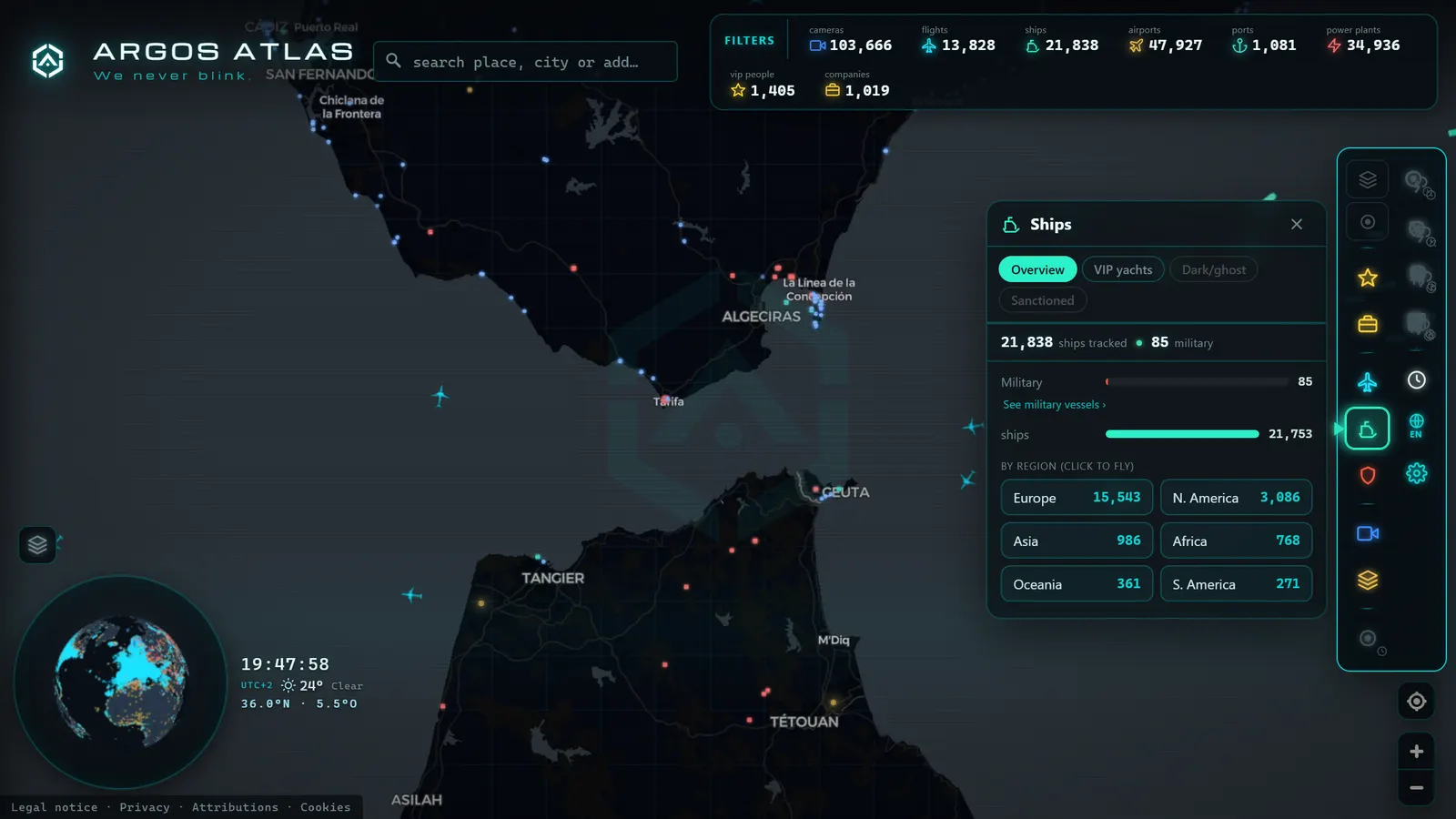
There are ships that, in the middle of the ocean, cease to exist for the world. Their dot on the map goes dark, their track is cut, and for hours or days nobody officially knows where they are. These are the so-called dark vessels: ships that turn off AIS, the system that makes them visible to the rest of maritime traffic. Sometimes they do it for a perfectly legitimate reason. Other times, to conceal something they do not want seen. This article explains what "going dark" means, why it happens, and how analysts reconstruct what the sea tries to hide.
The essentials, in 20 seconds
- AIS: broadcasts identity, position, heading and speed several times per minute, and is mandatory under IMO SOLAS for vessels of 300 gross tonnes or more.
- Complete shutdown: the transponder stops transmitting and the vessel disappears from every AIS viewer.
- Piracy-risk zones: shipping companies often instruct masters to reduce or suspend transmission there, a legitimate, logged exception.
- Shadow fleets: vessels with opaque ownership and flags of convenience switch off AIS to move sanctioned crude undetected.
- SAR (Synthetic Aperture Radar): detects metallic objects on water by day, by night and through cloud cover, exposing ships that AIS misses.
What it means for a ship to "go dark"
AIS (Automatic Identification System) is the transponder that broadcasts, several times per minute, a vessel's identity, position, heading, and speed. It is mandatory under the IMO SOLAS convention for vessels of 300 gross tonnes or more on international voyages, and for all passenger ships. If you want to understand how the system works in depth, we explain it in what is AIS and how it enables live ship tracking.
"Going dark" means interrupting that broadcast or deliberately degrading it. There are several degrees:
- Complete shutdown: the transponder stops transmitting and the vessel disappears from every AIS viewer.
- Intermittent blackouts: the signal is cut only on specific legs of the voyage, typically the stretches the operator does not want documented.
- Signal manipulation: the equipment keeps transmitting, but with false data. This can be a borrowed identity that does not correspond to the actual ship or, in more sophisticated cases, fabricated positions that trace a fictional route, what is known as spoofing.
The difference between a technical failure and a deliberate disappearance is not always obvious at first glance. Transponders malfunction, antennas lose coverage, and in heavily congested areas signals interfere with each other. That is why serious analysis never stops at the signal gap: it looks for the pattern.
When turning off AIS is legitimate
This deserves saying clearly: switching off AIS is not, in itself, proof of anything. The international convention explicitly allows a master to deactivate the transponder when continued operation would compromise the ship's safety.
The textbook case is piracy-risk zones. A transponder that announces to anyone with a receiver "here is a laden merchant vessel, at this speed and on this heading" is a gift to anyone planning a boarding. In those stretches, many shipping companies instruct their masters to reduce or suspend transmission, in line with industry security guidelines. The decision is logged in the navigation record and the signal is restored once the vessel exits the risk zone.
There are also less dramatic operational cases: state vessels on undisclosed missions, specific exercises, or authority instructions. The relevant point is that in all these cases a documented justification exists, and the vessel's behaviour before and after the blackout is consistent.
From the ARGOS ATLAS channel.
Illicit reasons: what the darkness tries to hide
The problem begins when the disappearance is not about safety but about concealment. The patterns most thoroughly documented by international bodies, researchers, and specialist press include the following.
Sanctions evasion
This is the motive that has attracted most attention in recent years. When a country or a cargo is subject to international sanctions, the vessels carrying it have strong incentives to erase their trail: they switch off AIS on approach to the loading port, reactivate days later at another location, and declare fictitious origins. The rise of so-called shadow fleets (vessels with opaque ownership, flags of convenience, and dubious insurance dedicated to transporting sanctioned crude) has turned this practice into a structural feature of maritime trade, thoroughly documented by analysts and oversight bodies.
Illegal fishing
Fishing vessels operating in restricted zones, inside another country's waters, or beyond their quotas have an obvious motive to leave no record of where they have been. Selectively switching off the transponder just when entering a protected fishing area, and reactivating it on departure, is one of the indicators that fisheries monitoring organisations analyse systematically.
Ship-to-ship transfers at sea
Transferring cargo from one vessel to another far from any port (a ship-to-ship transfer) is legal in many contexts, but it is also the perfect mechanism for laundering a cargo's origin. Two ships that go dark, rendezvous in mid-ocean, exchange cargo, and reappear separately make traceability enormously difficult. It is a recurring pattern in both sanctions evasion and the laundering of illegal catches.
Smuggling
From drug trafficking to fuel smuggling, any illicit cargo travels better without witnesses. Here, a switched-off AIS is often combined with small craft that are not even required to carry one, making detection even harder.
How dark vessels are detected
If the ship is not transmitting, how is it found? The short answer: through its contradictions. The absence of signal, analysed methodically, says a great deal.
Analysts work from several indicators:
- Signal gaps inconsistent with the route. A merchant vessel travelling at 14 knots cannot disappear for six hours and reappear 400 miles from where it should be. The mathematics of heading and speed expose impossible blackouts.
- Disappearances in sensitive zones. If a vessel systematically goes dark on approach to a sanctioned port, a restricted fishing area, or a known transfer zone, the pattern speaks for itself.
- False positions. Spoofing leaves traces: geometrically perfect routes that no real ship would draw, positions over land, or absurd speeds. Validation algorithms catch them by comparing the signal against what is physically possible.
- Recycled identities. The same identification number transmitting simultaneously from two locations, or a vessel that changes name and flag with suspicious frequency, are classic red flags.
The paradox of the dark vessel is that its silence is itself a signal. Those who know how to read the gap find the ship.
Techniques that complement AIS
Modern detection does not rely solely on the missing signal. It draws on sources that see the vessel even when it does not want to be seen.
Optical satellite imagery photographs the sea surface and allows hull identification in areas of interest. Synthetic Aperture Radar (SAR) detects metallic objects on water by day, by night, and through cloud cover, making it especially valuable. And avoidance correlation: cross-referencing what satellites see with what AIS emits (or fails to emit) to identify which radar echoes correspond to ships that are not transmitting. That cross-reference is, in essence, the heart of dark-vessel detection.
Why this matters
It may seem a distant concern, but the consequences reach dry land.
Sanctions compliance. International sanctions only work if they can be verified. Every cargo that travels in the dark erodes their effectiveness and ultimately funds the regimes or activities the sanctions were meant to isolate.
Environment. Shadow fleets typically operate aging vessels with minimal maintenance and dubious insurance. An oil spill from one of these ships can leave the environmental bill with an entire coastline and no clear party to hold liable. And the illegal fishing concealed behind a switched-off AIS strips fishing grounds on which coastal communities depend.
Maritime safety. AIS was created to prevent collisions. A vessel navigating without transmitting on a busy route is a risk to itself and to others, especially at night or in poor visibility.
What you can observe from an AIS viewer
Honesty about the limits is important here. From a standard AIS viewer you cannot see what is not transmitting: a vessel that switches off its transponder simply disappears from the map. Detecting dark vessels requires cross-referencing sources (satellites, radar, registries) that are beyond the reach of the ordinary observer.
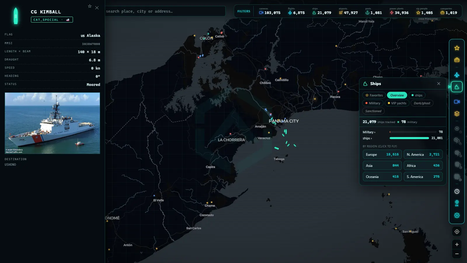
What is within your reach is context, and that is not nothing. You can observe the traffic density of a zone and familiarise yourself with its normal patterns: where merchant vessels transit, where fishing fleets concentrate, what routes tankers follow. You can note vessels that have been anchored in unusual locations for long periods, or concentrations of ships where you would not expect them. In how to track a ship live we walk through step by step how to get the most out of a viewer like this.
That said: caution with conclusions. A vessel sitting in an odd spot may be waiting for orders, riding out heavy weather, or doing something entirely routine. Amateur observation is an excellent gateway to understanding maritime traffic, not a tool for accusation. Serious analysis requires data, method, and context that a glance at the map does not provide.
Frequently asked questions
Is it legal to turn off AIS?
It depends on the context. The IMO SOLAS convention allows a vessel's master to deactivate the transponder when continued operation would compromise the ship's safety, the classic example is transit through piracy-risk zones, where broadcasting position would be reckless. Outside those circumstances, deliberately switching it off to conceal the vessel's activity can constitute a breach of maritime regulations and is treated by monitoring bodies as a red flag warranting investigation.
Why would a ship turn off its transponder?
For legitimate reasons: safety in dangerous waters, instructions from authorities, or specific operational requirements formally documented in the ship's log. Or for illicit reasons: sanctions evasion, illegal fishing in restricted waters, ship-to-ship cargo transfers that operators want to keep off the record, or smuggling. The difference usually lies in the pattern: a legitimate blackout is specific, consistent, and justifiable; an illicit one recurs at the same sensitive locations.
How are dark vessels detected?
By combining AIS signal analysis with external sources. First, suspicious gaps are identified: disappearances incompatible with the vessel's speed and heading, recurring blackouts in sensitive zones, or fabricated positions via spoofing. These signals are then cross-referenced with optical satellite imagery and SAR radar, which detects the hull even when the ship emits nothing. The correlation between what the satellite sees and what AIS stays silent about is the foundation of modern detection.
Can I see dark vessels on a normal map?
Not directly: on a standard AIS viewer, a vessel that turns off its transponder simply disappears from the map, with no warning or marker. What you can do is observe context (traffic density, habitual routes, vessels that are transmitting) and develop the eye for understanding how maritime trade moves. Identifying dark vessels proper requires cross-referencing satellite sources and registries that are not available on a public map.
Conclusion
Ships that turn off their AIS are a reminder that no transparency system is perfect: a single switch is enough to exit the map. But they also demonstrate the opposite (that silence leaves traces) and that combining signals, satellites, and method allows analysts to reconstruct much of what is being concealed. For the curious observer, the best school is the traffic that is visible: thousands of ships broadcasting their positions every minute, drawing the arteries of world trade live. You can start right now: open the map, find a major shipping route, and watch the points flow. Once you know what is normal, you will understand much better why what is missing matters.
Frequently asked questions
Is it legal to turn off AIS?
It depends on the context. The IMO SOLAS convention allows a vessel's master to deactivate the transponder when continued operation would compromise the ship's safety, the classic example being transit through piracy-risk zones where broadcasting position would be reckless. Outside those circumstances, deliberately switching it off to conceal a vessel's activity can constitute a breach of maritime regulations and is treated by monitoring bodies as a red flag warranting investigation.
Why would a ship turn off its transponder?
Legitimate reasons include navigating dangerous waters or specific operational requirements formally documented in the ship's log. Illicit reasons range from sanctions evasion and smuggling to illegal fishing in restricted waters and ship-to-ship cargo transfers in open ocean that operators want to keep off the record.
How are dark vessels detected?
By analysing signal gaps that are inconsistent with the vessel's declared route, disappearances in sensitive zones, and physically impossible position jumps. These indicators are cross-referenced with optical satellite imagery and SAR radar, which can detect a ship even when it emits nothing.
Can I see dark vessels on a normal map?
Not directly. On a standard AIS viewer, a vessel that turns off its transponder simply disappears from the map. What you can observe is context: the traffic density of a zone, habitual shipping patterns, and the vessels that are transmitting. Understanding normal traffic is the foundation for spotting what is missing.
- Types of Ships: How to Tell Container Ships, Tankers, and Fishing Vessels Apart on the Map
- Anchored Ship: See Which Vessels Are Waiting Right Now
- Live Ships in the Caribbean Sea: Cruise Liners, Container Ships and Island Traffic
- Live Ships in the South Pacific: Routes Connecting Chile, Peru and Ecuador to Asia
- Live Ships in the Mediterranean Sea: Ferries, Cruise Liners and Container Ships
- Live Ships in the Strait of Malacca, the World's Busiest Shipping Lane