Blog · Ships & AIS
Live Ships in the Caribbean Sea: Cruise Liners, Container Ships and Island Traffic
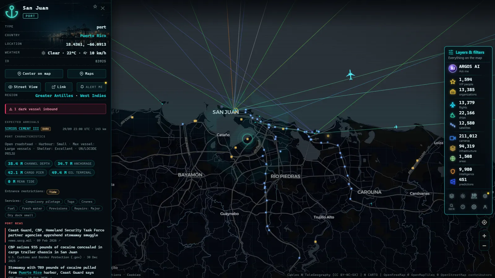
The Caribbean as a Global Maritime Crossroads
Few maritime basins concentrate as much traffic diversity as the Caribbean Sea. Within a radius of roughly 1,700 miles, the world's largest cruise ships, a network of container vessels connecting three continents, and an inter-island transport system that serves as a lifeline for communities of fewer than 100,000 people all coexist. And all of this unfolds under the strategic shadow of the Panama Canal, the gateway linking two great oceans and reshaping the commercial geography of the planet.
Thanks to AIS (Automatic Identification System) technology, it is now possible to track each of these vessels in real time. ARGOS ATLAS integrates that data and displays it on an interactive map where anyone can observe the Caribbean's daily maritime pulse.
Cruise Ships: The Caribbean's Most Visible Fleet
From November through April, the Caribbean becomes the largest operating theater for the global cruise industry. The ports of Miami, Port Everglades (Fort Lauderdale), Puerto Rico, Cozumel, Nassau and the Virgin Islands receive thousands of passengers each week aboard vessels exceeding 300 meters in length and 200,000 gross tons.
The world's largest cruise ships (such as those in the Wonder of the Seas class) navigate these waters routinely. Their size makes them visible on the AIS map even at regional scale: they appear as slow, predictable points moving at cruise speeds between 18 and 22 knots, following itineraries that repeat week after week and trace near-perfect rings around the islands.
Ports That Concentrate Cruise Traffic
The Port of Miami is, by passenger volume, the world's busiest cruise port. Together with Port Everglades and Port Canaveral, it forms an embarkation triangle in southern Florida that originates the majority of Caribbean itineraries. From there, routes divide into two main corridors:
- Western Caribbean: Cozumel (Mexico), Belize City, Roatán (Honduras), the Cayman Islands and Jamaica.
- Eastern Caribbean: Puerto Rico, St. Maarten, St. Thomas, Barbados and St. Lucia.
In ARGOS ATLAS, these corridors become literally visible: observing the maritime layer on a Sunday afternoon reveals dozens of cruise ships departing simultaneously from South Florida ports.
Container Ships: The Invisible Engine of Caribbean Commerce
While cruise ships capture tourist attention, container ships are the true economic engine of the Caribbean. Carriers such as Maersk, MSC, CMA CGM and Hapag-Lloyd operate regular services connecting Caribbean transshipment hubs with Europe, Asia and the east coasts of North and South America.
The main transshipment hubs are:
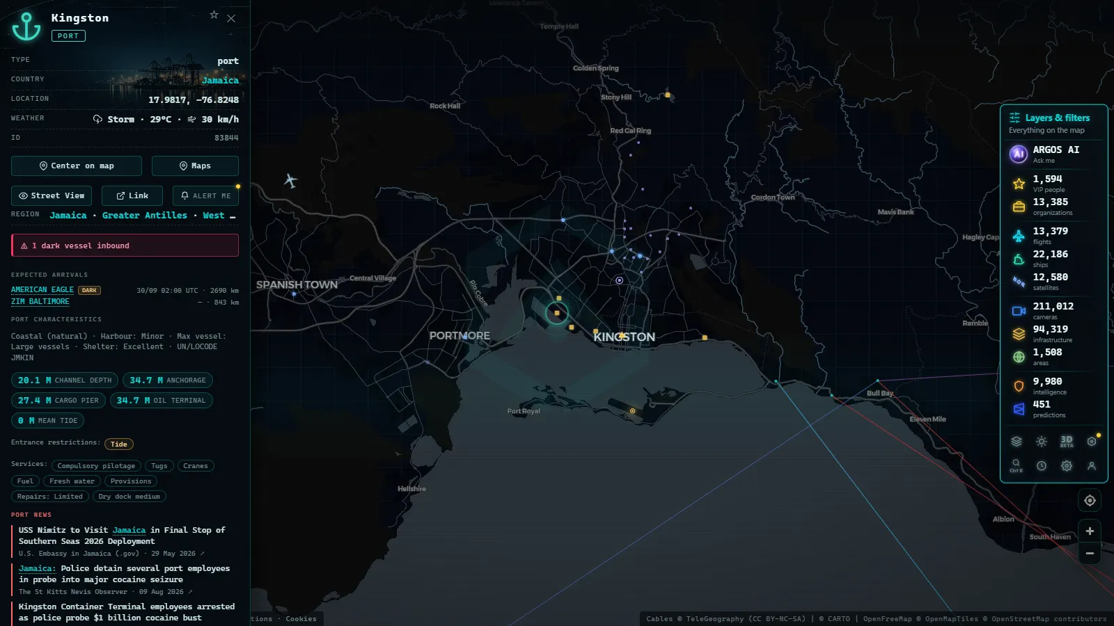
- Kingston (Jamaica): one of the most important transshipment ports in the Western Hemisphere, with connections to more than 80 destinations.
- Cartagena (Colombia): South America's largest container transshipment port by volume, with sustained year-on-year growth.
- Freeport (Bahamas): a natural entry point for flows between the North Atlantic and the Caribbean.
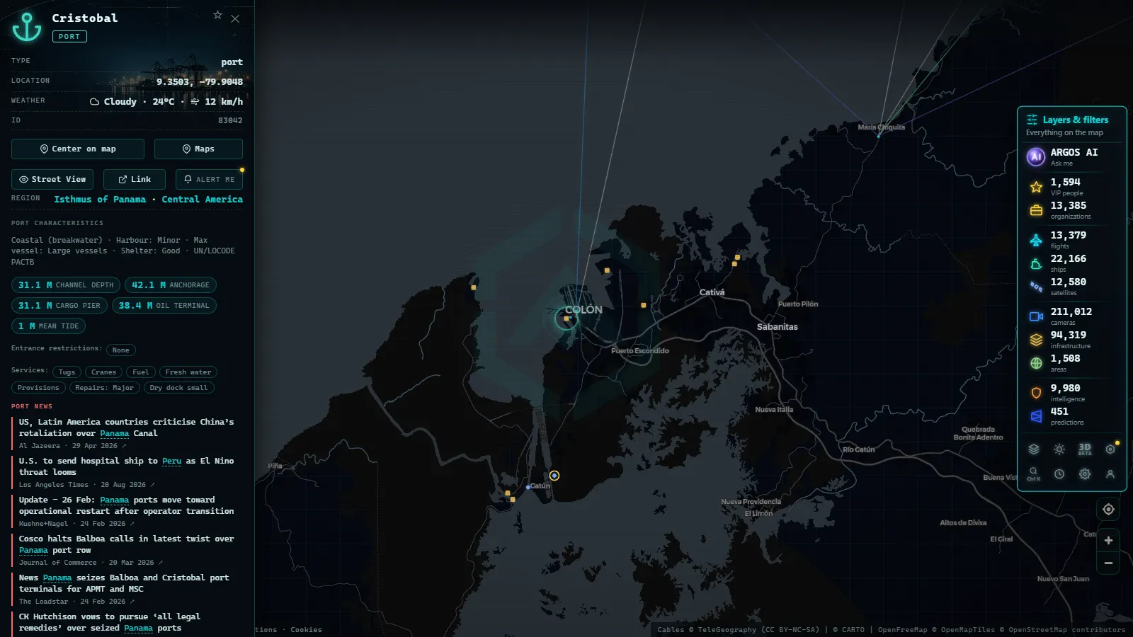
- Manzanillo (Panama): located on the Atlantic side, it operates in close coordination with the Canal.
"The Caribbean is not merely a holiday destination. It is one of the world's most active maritime transshipment regions, and its geographic position between the Atlantic and Pacific oceans makes it an indispensable node for global commerce."
North-South Routes and Their Seasonal Cycles
Container ship traffic in the Caribbean follows seasonal patterns tied to trade demand. The peak in imports toward Central America and the island Caribbean occurs between September and December, in anticipation of the holiday season. During those months, vessels appear with greater frequency and higher speeds (up to 24 knots on some express services) to meet tight delivery schedules.
In ARGOS ATLAS, this traffic acceleration is directly observable: the density of AIS tracks on the maritime layer increases noticeably during the fourth quarter of the year.
From the ARGOS ATLAS channel.
The Panama Canal: The Strategic Hinge
Inaugurated in 1914 and expanded with the new Neopanamax locks in 2016, the Panama Canal is the most strategically important maritime infrastructure in the Western Hemisphere. Each year, more than 14,000 vessels transit it, carrying approximately 6% of global trade.
The 2016 expansion allowed Post-Panamax class vessels with capacities of up to 14,000 TEU (twenty-foot equivalent units) to pass through. This radically transformed routes between Asia and the US East Coast, making the Caribbean a fundamental transit corridor.
What Types of Vessels Cross the Canal?
Canal traffic is enormously diverse:
- Container ships: account for the largest share of net tonnage.
- Tankers: LNG (liquefied natural gas), LPG and crude carriers.
- Bulk carriers: grain, coal, iron ore.
- Cruise ships: especially during repositioning voyages between the Pacific and the Atlantic.
- Military vessels: occasional transits that generate significant media attention.
On the ARGOS ATLAS map, the Canal's Atlantic approach at Colón and its Pacific approach at Balboa frequently show waiting queues of vessels when demand is high or when Lake Gatún (which feeds the locks) forces draft restrictions.
Inter-Island Traffic: The Caribbean That Never Makes the Brochures
Beyond the large commercial vessels, the Caribbean hosts a dense network of smaller maritime transport that is essential to daily island life. Passenger ferries between Trinidad and Tobago, cargo launches among the Windward and Leeward Islands, and small coastal freighters supplying communities with no land connections form an ecosystem of traffic that rarely appears in global shipping statistics, but is visible in detail on the AIS map.
The Eastern Caribbean: A Laboratory of Island Mobility
The Lesser Antilles (a chain of islands stretching from the Virgin Islands to Trinidad) concentrate the highest volume of inter-island traffic in the region. Dominica, St. Lucia, St. Vincent and the Grenadines, and Grenada operate regular ferry services that, in many cases, represent the only link between communities.
This smaller-scale traffic is particularly valuable for geopolitical and humanitarian analysis: when a hurricane strikes the region, tracking humanitarian aid and resupply vessels becomes a critical emergency-response tool. Platforms like ARGOS ATLAS make that monitoring accessible to anyone.
How to Read Caribbean Traffic on ARGOS ATLAS
Opening the maritime layer in ARGOS ATLAS over the Caribbean allows users to visually distinguish different traffic types:
- High speeds (>18 knots): likely cruise ships or high-speed ferries.
- Medium speeds (12-18 knots): container ships or tankers in transit.
- Low speeds (<10 knots) or anchored: vessels waiting for a berth or at anchor.
- Curved, repetitive tracks: inter-island ferry routes with multiple stops.
Additionally, clicking on any vessel in ARGOS ATLAS displays its name, flag, vessel type, declared destination, current speed and heading. This information comes directly from the AIS signal that the vessel itself broadcasts.
The Caribbean Within the Broader Atlantic Trade Network
The Caribbean is not an isolated basin. It is the convergence point of the great transatlantic routes connecting Europe with Latin America, the transpacific routes arriving from Asia through the Panama Canal, and the inter-oceanic routes toward the US East Coast.
Understanding Caribbean traffic in real time is therefore a way of reading the pulse of global trade in microcosm. Supply chain disruptions (such as those that occurred during the pandemic or during the Panama Canal draft restrictions caused by drought in 2023) manifest immediately in the density and movement patterns that AIS records.
ARGOS ATLAS makes it possible to observe these dynamics without needing access to specialized databases or expensive subscriptions. The map is open, and the maritime Caribbean (in all its complexity) is one click away.
Frequently asked questions
How can I see Caribbean ships in real time?
ARGOS ATLAS displays live AIS positions for all vessels in the Caribbean, including cruise ships, container ships, and inter-island ferries. Simply open the map and navigate to the region to start tracking.
How many ships transit the Panama Canal each day?
On average, between 35 and 40 vessels cross the Panama Canal daily. During peak demand periods, that figure can exceed 50 daily transits, covering everything from giant container ships to cruise liners and tankers.
What types of vessels dominate Caribbean routes?
The Caribbean hosts a unique mix: large cruise ships from November through April, container vessels on north-south routes year-round, and dense ferry and coastal traffic among the islands of the Eastern and Western Caribbean.
- Live Ships in the South Pacific: Routes Connecting Chile, Peru and Ecuador to Asia
- Live Ships in the Mediterranean Sea: Ferries, Cruise Liners and Container Ships
- Live Ships in the Strait of Malacca, the World's Busiest Shipping Lane
- Live Ships in the North Atlantic: Europe to North America Trade Routes
- Port of Santos Live: Sugar Terminals & Congestion Tracker
- IMO Ship Tracking: Look Up Any Vessel Live, Free