Blog · Ships & AIS
IMO Ship Tracking: Look Up Any Vessel Live, Free
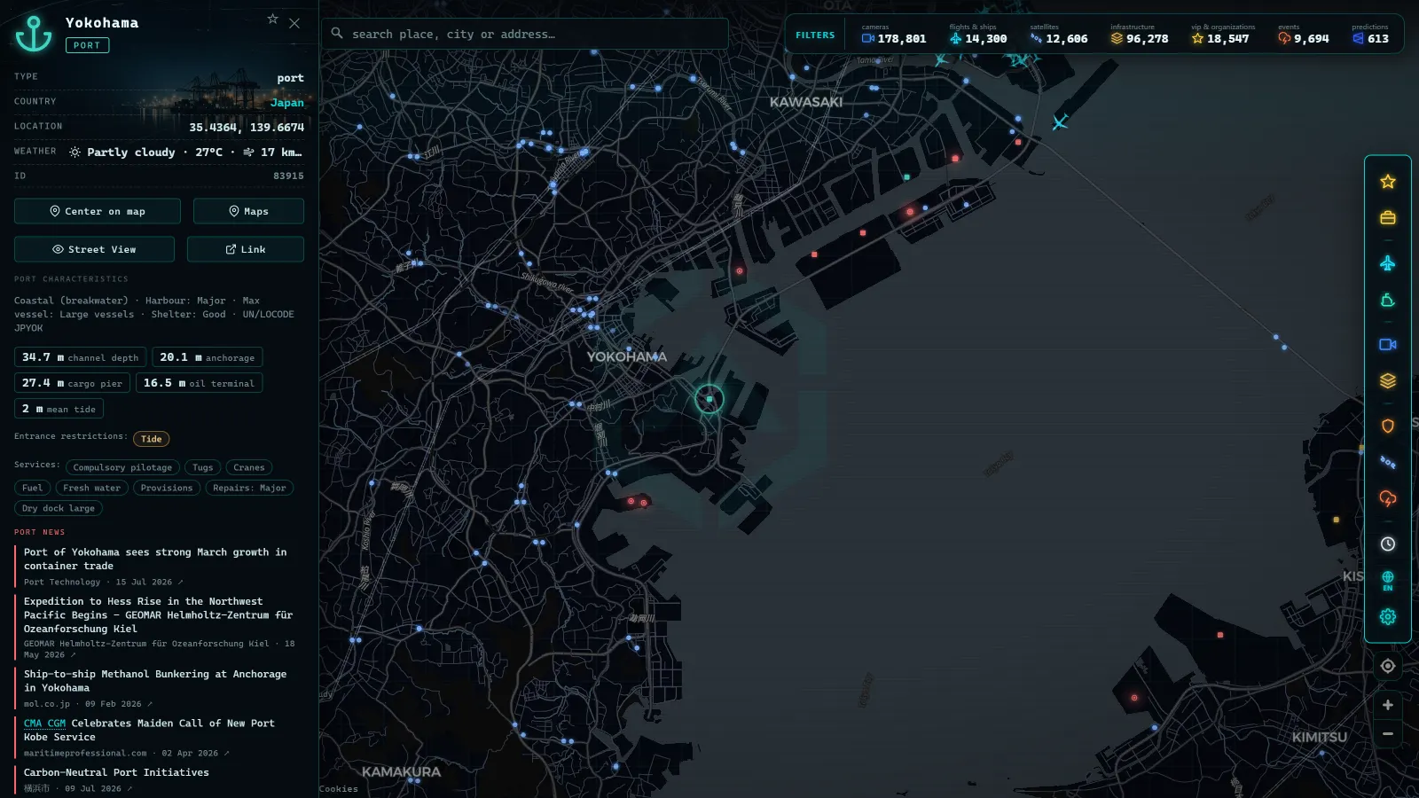
Every ship sails with several license plates at once, and mixing them up is the most common beginner mistake on marine maps. The IMO number is the permanent identity: seven digits tied to the hull for life. The MMSI is the radio identity: nine digits broadcast in every AIS message, which change when the ship changes flag. The call sign is its signature in radio communications. Knowing which is which (and which one to use for what) turns a card full of numbers into a vessel's biography.
This guide explains all three identifiers, what each one hides, why analysts care so much about the difference, and how to use them to find any ship on a live map.
The essentials, in 20 seconds
- IMO number: 7 digits, assigned once to the hull, never changes across name, owner or flag changes
- MMSI: 9 digits broadcast in every AIS message, changes when a ship re-flags
- MID (first 3 digits of the MMSI): shows the country that issued the number, a mismatch with the declared flag is a signal to look twice
- Call sign: letters and digits issued by the flag state for voice and radio communications, changes with the flag
- ARGOS ATLAS map: search by name, MMSI or IMO, then cross-check the IMO to confirm the card matches the ship
The three identifiers, side by side
The fastest way to never confuse them again:
| Identifier | Digits/form | Who assigns it | Does it change? | What it is for |
|---|---|---|---|---|
| IMO number | 7 digits | Assigned once, tied to the hull | Never | Following a vessel's history for life |
| MMSI | 9 digits | The flag state's administration | Yes, on re-flagging | Radio and AIS identity; seeing it on the map today |
| Call sign | Letters and digits | The flag state | Yes, with the flag | Voice and radio communications |
The rule that sums it up: the IMO is the thread to pull for history; the MMSI is the number that rules the live map. Serious databases always cross-check both (plus the name) to confirm they are talking about the same ship.
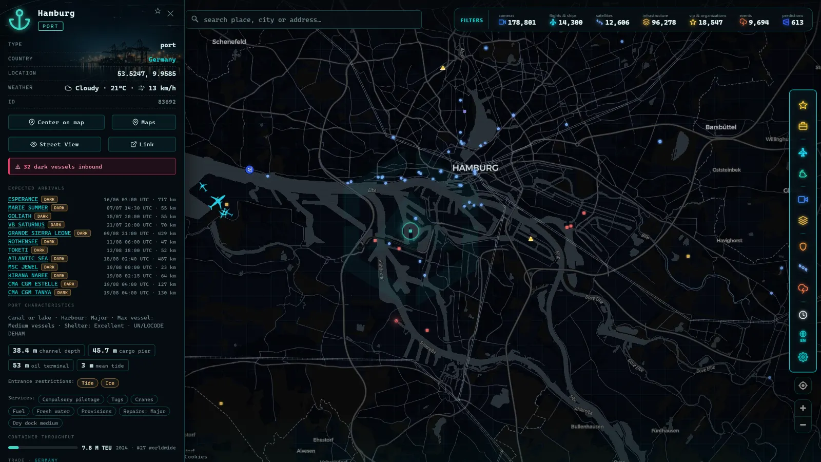
The IMO number: the identity that cannot be repainted
The IMO number is assigned once in a vessel's life and follows the hull: it survives changes of name, owner, operator and flag, from construction to scrapping. That permanence is exactly what makes it valuable.
Consider what it means: a cargo ship can carry three different names in ten years, fly two different flags and pass through several owners, and its IMO stays the same. To reconstruct where it was, what it was called at the time and under which registry it operated, that number is the primary key of the whole investigation. This is why, in sanctions and shadow-fleet work, analysts refer to ships "by IMO" rather than by name: names are clothing; the IMO is skin.
From the ARGOS ATLAS channel.
The MMSI: the radio identity (and its hidden clue)
MMSI stands for Maritime Mobile Service Identity: a nine-digit number identifying a maritime radio station, usually a ship, though coastal stations have MMSIs too. Every AIS message a vessel transmits is signed with it; live maps group messages by MMSI to draw each track. The full system is explained in what is AIS.
The interesting detail sits at the start of the number: the first three digits form the MID (Maritime Identification Digits), the prefix of the country that assigned it. Read that prefix and you know which flag the station is registered under. An MMSI is not just a serial number, it is a nationality tag.
That yields an analysis technique: when the MID does not match the declared flag or other vessel data, it is a signal to look twice. Identity inconsistencies are one of the classic tricks of dark ships that manipulate or switch off their AIS.
Why the MMSI changes (and what the change can reveal)
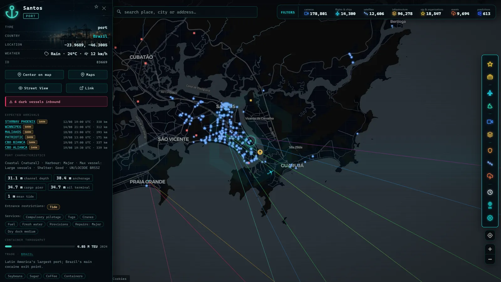
The usual cause is a change of flag. Registering a ship is an administrative and commercial decision: an owner may move a vessel between registries for tax, operational or regulatory reasons. On re-flagging, the new administration issues a new MMSI with its own MID prefix, and the old number is released, over time it may even be reassigned to another station.
Practical consequences for anyone watching marine traffic:
- The same hull can appear in historical data under several different MMSIs across the years.
- An old MMSI does not guarantee you are still looking at the same ship: confirm with the IMO and the name.
- Frequent flag-and-MMSI changes in a short period are, in themselves, a pattern that sanctions and illegal-fishing investigators watch closely.
To say it without drama: most re-flaggings are perfectly normal commercial operations. But when they chain together with AIS blackouts and mid-sea transfers, the picture tells another story.
Finding a ship by name, IMO or MMSI
Theory sticks best with practice, and this practice is immediate. Open the ARGOS ATLAS map and try the routes:
- By name: type the vessel's name. Names repeat constantly, so confirm with the ship type, flag and sailing area.
- By MMSI: with the exact number, the search is direct, it identifies a single active station.
- With the IMO as verification: once the card is open, check the IMO matches the vessel you think you are looking at. That step separates "looks right" from "confirmed".
The card shows its identifiers next to type, flag, dimensions, course, speed and declared destination, and you can follow the voyage in real time; the tracking tricks are in how to track a ship live.
One power-user warning: if the ship does not appear on the map, do not assume the number is wrong. It may be sailing through an area with few receivers, sitting at a berth with equipment off, or (the most interesting case) have switched its transponder off deliberately. The absence of signal is data too, and often the kind that matters most.
Reading a vessel card with judgment
With the three identifiers clear, a ship's card stops being a list of numbers:
- IMO: who it really is, forever.
- MMSI: what it calls itself on the radio today, and, via the MID, its current flag.
- Call sign: its signature in voice communications.
- Name: the least reliable field of all, it changes with a coat of paint.
Next time you tap a dot on the live map and its card opens, you will know exactly what to read first, what may have changed over the years, and what story a mismatched prefix might be hiding.
Frequently asked questions
What is a ship's IMO number?
A seven-digit identifier assigned once and tied to the hull: it stays with the vessel from construction to scrapping, through every change of name, flag or owner. It is the ship's permanent identity.
Are the MMSI and the IMO number the same thing?
No. The MMSI is the nine-digit radio identity a ship broadcasts in every AIS message, and it depends on the flag state, it can change. The IMO number is tied to the hull and never changes.
What do the first three digits of an MMSI reveal?
They form the MID (Maritime Identification Digits), the prefix of the country that assigned the number. Reading that prefix tells you which flag the vessel's radio station is registered under.
Why would a ship's MMSI change?
Because the MMSI is issued by the flag state's administration: when a vessel is re-flagged, the new country assigns a new MMSI with its own prefix. That is why a ship's long-term history is reconstructed through its IMO, not its MMSI.
Can I track a ship by IMO or MMSI live for free?
Yes. On a public AIS map you can search by name or number and open the vessel's card with position, course, flag and declared destination, no sign-up. A missing signal is information too: no coverage nearby, or a transponder switched off.
- South America Ports List: The Major Ports, Country by Country
- Ceuta Live Camera: 7 Feeds & Real-Time Ship Traffic
- Strait of Gibraltar crossing operation 2026: watch it live
- MarineTraffic alternatives: what free AIS tracking really does
- Pescara Port Live: 6 Ship Types on the Adriatic AIS
- Malta ship traffic live: what crosses between Sicily and Africa